Median Age
33 Years
Largest Age Group
15-24 Years
Approximately 16% of Residents
Under 20
29%
Over 65
12%

Avg Rent
$1,680
Population
105,446
Renter Mix
36% Rent
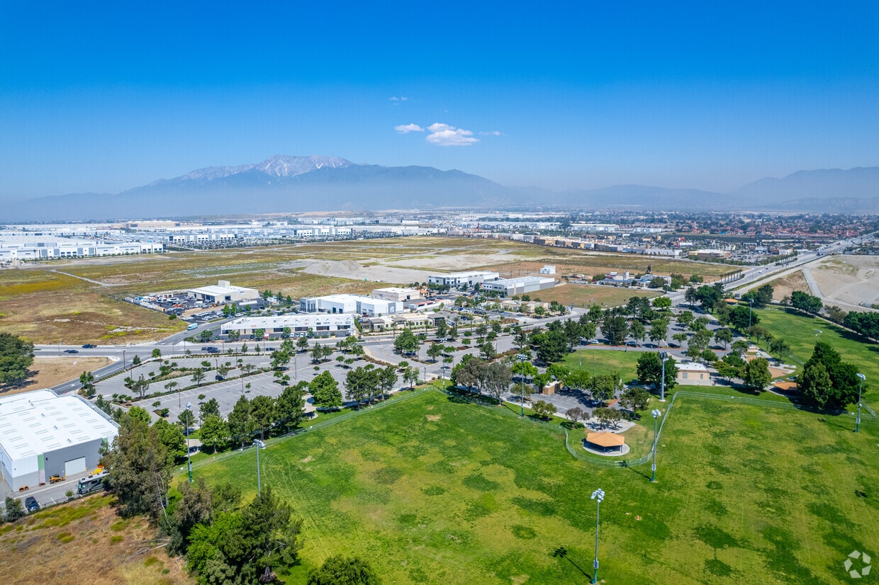
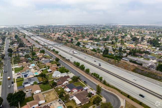
Rialto sits at the base of the San Bernardino Mountains in California's Inland Empire, about 56 miles east of Los Angeles, where mountain views meet a steady, ground-level pace of everyday life. The city has grown substantially in recent years, driven in part by a major logistics and distribution corridor in the northern Las Colinas area that draws employers and workers from across the region. Downtown Rialto runs along Riverside Avenue and connects to the historic Route 66 stretch of Foothill Boulevard, giving the city a mix of local shops, casual eateries, and a Wednesday farmers market that keeps weekday routines grounded. For anyone commuting, the Rialto Metrolink Station offers rail access to San Bernardino in about ten minutes and reaches Los Angeles Union Station in roughly 80 minutes.
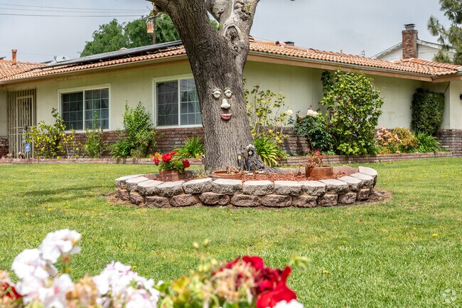
The rental landscape here spans a solid range of options, from single-story apartment communities and garden-style complexes to newer builds near Renaissance Parkway in the north end. The El Rancho Verde area offers tree-lined streets near a golf course, while the Frisbie Park neighborhood puts green space and ball fields within walking distance. Whether you prefer a quieter residential setting or easier access to freeways like I-10 and SR-210, Rialto delivers affordable choices relative to the broader California market without sacrificing proximity to the larger Inland Empire.
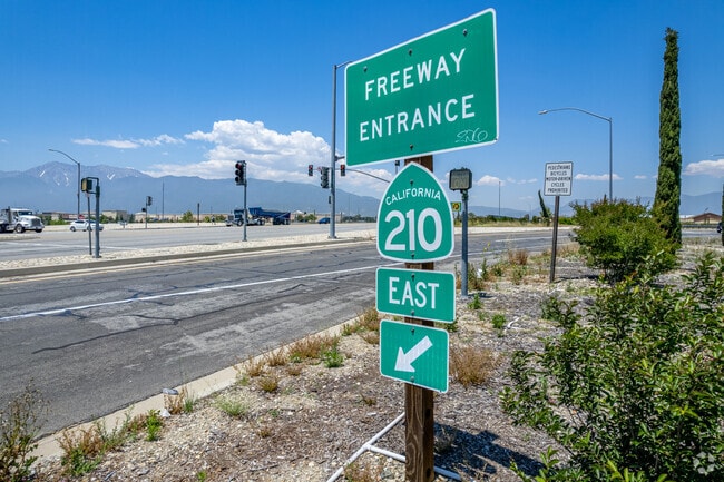
Freeway 210 connects Rialto residents to the best of Inland Empire.
Stater Bros Markets offer fresh produce and other necessities for residents of Rialto.
Rialto Airport neighborhood is close to the 210 freeway.
The Rialto neighborhood is a fairly easy walkable residential area.
The Etiwanda Trailhead is a great hiking spot near Rialto with ample parking.
Rialto locals enjoy walking The Pacific Electric Trail which is easily accessible to the public.
Median Household Income
$79,016
Average: $93,213
Education
12,254
Residents Have a Degree
Job Market
49,187
Workers Employed
Median Age
33 Years
Largest Age Group
15-24 Years
Approximately 16% of Residents
Under 20
29%
Over 65
12%
Housing Distribution
Rialto has more homeowners than renters.

Education Distribution
Review this city's overall education levels.

As of July 2026, the average apartment rent in Rialto, CA is $1,480 for a studio, $1,680 for one bedroom, $2,037 for two bedrooms, and $2,527 for three bedrooms. Apartment rent in Rialto has increased by 2.1% in the past year.
Explore how walkable, bikeable, drivable, and transit-friendly Rialto, CA is for everyday living.
Fairly Walkable
Walkability
Limited Public Transit
Transit
Exceptionally Drivable
Drivability
Fairly Bikeable
Bikeability
Public
Grades K-5
638 Students

Samuel W. Simpson Elementary School
Public
Grades K-5
638 Students
Public
Grades K-5
487 Students

Public
Grades K-5
487 Students
Public
Grades K-5
461 Students
Public
Grades 6-8
917 Students
Public
Grades 6-8
917 Students
Public
Grades 6-8
978 Students

Public
Grades 6-8
978 Students
Public
Grades 6-8
1,017 Students

Public
Grades 9-12
2,623 Students
Public
Grades 9-12
2,623 Students
Public
Grades 9-12
2,075 Students
Public
Grades 9-12
2,075 Students
Public
Grades 9-12
1,951 Students
† Our analysis of utilities, groceries, transportation, healthcare, home prices, and other goods and services is sourced from the Cost of Living Index, a respected benchmark published by the Council for Community and Economic Research (C2ER) that provides a thorough overview of living expenses across different regions.
Rent data is provided by CoStar Group’s Market Trend reports. As the industry leader in commercial real estate information, analytics, and news, CoStar conducts extensive research to produce and maintain a comprehensive database of commercial real estate information. We combine this data with public record to provide the most up-to-date rental information available.
Consumer goods, services, and home prices are sourced from the Cost of Living Index published by the Council for Community and Economic Research (C2ER). The data on this page is updated quarterly. It was last published in June 2026.
Demographic information comes from Neustar and combines detailed address data with U.S. Census and American Community Survey statistics to produce reliable local estimates.


