Median Age
43 Years
Largest Age Group
55-64 Years
Approximately 14% of Residents
Under 20
23%
Over 65
22%

Avg Rent
$2,368
Population
15,778
Renter Mix
20% Rent
Raynham is a quiet New England town with deep roots along the Taunton River, moving at a slower pace that sits surprisingly close to two major cities. Boston is roughly 35 miles north and Providence, Rhode Island, about 30 miles south -- real commuter options without the density or cost of either metro area. Daily life centers on walkable village streets near Raynham Center and along U.S. Route 44, where most shopping and dining are concentrated. Green spaces and ponds give the town a distinctly unhurried feel.
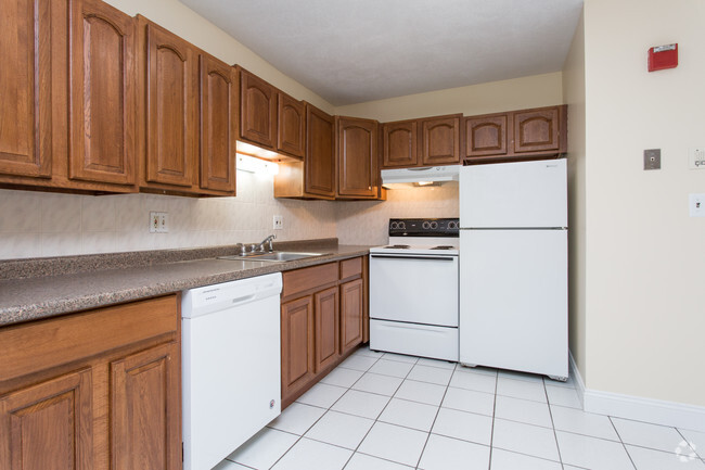
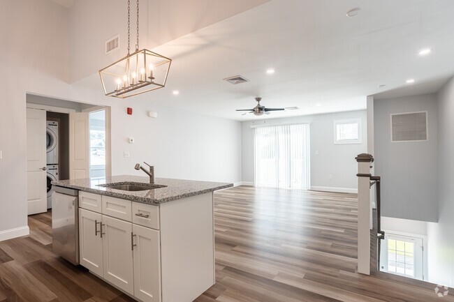
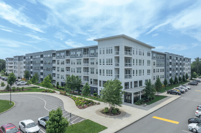
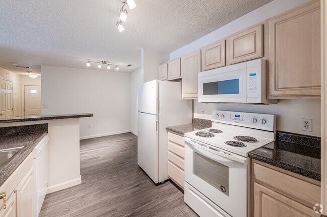
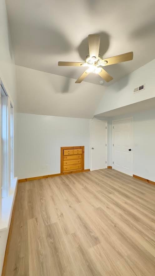
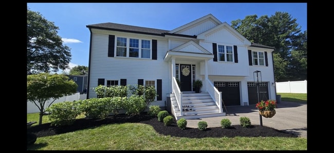
The rental market leans toward single-family homes and townhomes, reflecting the town's suburban and semi-rural character. Apartment communities tend to be smaller-scale, with traditional New England architecture and some newer construction, rather than the high-rises or dense loft buildings common in Boston's inner neighborhoods. Raynham traces its origins to 1639, when it was settled as part of Taunton by Elizabeth Pole, the first woman to found a town in America.
Median Household Income
$103,970
Average: $126,720
Education
4,952
Residents Have a Degree
Job Market
8,345
Workers Employed
Median Age
43 Years
Largest Age Group
55-64 Years
Approximately 14% of Residents
Under 20
23%
Over 65
22%
Housing Distribution
Raynham has more homeowners than renters.

Education Distribution
Review this city's overall education levels.

As of September 2026, the average apartment rent in Raynham, MA is $2,368 for one bedroom, $2,356 for two bedrooms, and $3,671 for three bedrooms. Apartment rent in Raynham has increased by 9.8% in the past year.
Explore how walkable, bikeable, drivable, and transit-friendly Raynham, MA is for everyday living.
Somewhat Walkable
Walkability
Exceptionally Drivable
Drivability
Fairly Bikeable
Bikeability

Public
Grades K-5
533 Students

Public
Grades K-8
691 Students

Public
Grades K-5
281 Students

Public
Grades K-8
691 Students
 The GreatSchools Rating helps parents compare schools within a state based on a variety of school quality indicators and provides a helpful picture of how effectively each school serves all of its students. Ratings are on a scale of 1 (below average) to 10 (above average) and can include test scores, college readiness, academic progress, advanced courses, equity, discipline and attendance data. We also advise parents to visit schools, consider other information on school performance and programs, and consider family needs as part of the school selection process.
View GreatSchools Rating Methodology
Data provided by
GreatSchools.org
© 2026. All rights reserved.
The GreatSchools Rating helps parents compare schools within a state based on a variety of school quality indicators and provides a helpful picture of how effectively each school serves all of its students. Ratings are on a scale of 1 (below average) to 10 (above average) and can include test scores, college readiness, academic progress, advanced courses, equity, discipline and attendance data. We also advise parents to visit schools, consider other information on school performance and programs, and consider family needs as part of the school selection process.
View GreatSchools Rating Methodology
Data provided by
GreatSchools.org
© 2026. All rights reserved.
† Our analysis of utilities, groceries, transportation, healthcare, home prices, and other goods and services is sourced from the Cost of Living Index, a respected benchmark published by the Council for Community and Economic Research (C2ER) that provides a thorough overview of living expenses across different regions.
Rent data is provided by CoStar Group’s Market Trend reports. As the industry leader in commercial real estate information, analytics, and news, CoStar conducts extensive research to produce and maintain a comprehensive database of commercial real estate information. We combine this data with public record to provide the most up-to-date rental information available.
Consumer goods, services, and home prices are sourced from the Cost of Living Index published by the Council for Community and Economic Research (C2ER). The data on this page is updated quarterly. It was last published in September 2026.
Demographic information comes from Neustar and combines detailed address data with U.S. Census and American Community Survey statistics to produce reliable local estimates.