Median Age
35 Years
Largest Age Group
20-29 Years
Approximately 16% of Residents
Under 20
27%
Over 65
16%




Avg Rent
$912
Population
19,642
Renter Mix
55% Rent
Oroville is the county seat of Butte County, a Sierra Nevada foothill city where gold rush history and outdoor adventure meet an unhurried pace of everyday life. The city's name says it all: oro, the Spanish word for gold, and ville, the French word for town, reflecting the region's deep ties to California's Gold Rush era. That history still echoes through the streets of the historic Downtown Oroville, which anchors the community and draws visitors year-round. Butte College serves as a key educational cornerstone for the area, offering residents access to higher education without leaving the region.
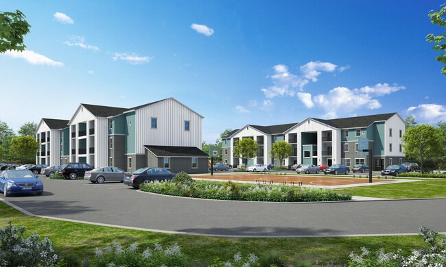
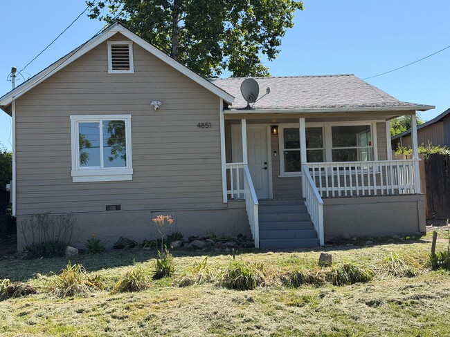
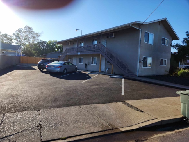
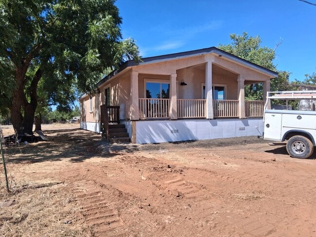
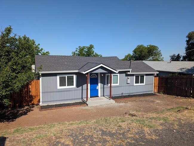
Oroville's neighborhoods range from quiet residential streets near the river to hillside areas with sweeping views of the surrounding foothills. The housing mix is equally diverse, with single-family rentals, duplexes, and smaller apartment communities offering an affordable alternative to California's larger metro areas. Renters will find a range of well-maintained properties, from modest ranch-style homes to no-frills apartment communities suited to those seeking space and simplicity.
Life in Oroville moves at its own pace, shaped by the seasons, the river, and a strong sense of local identity. Sacramento is roughly an hour and a half south, and Chico is just 20 miles away, making Oroville a practical base for those who want small-town living without being far from larger city resources.
People enjoy swimming at Riverbend Park in the Oroville South neighborhood.
Locals walk their dog at Riverbend Park in the Oroville South neighborhood.
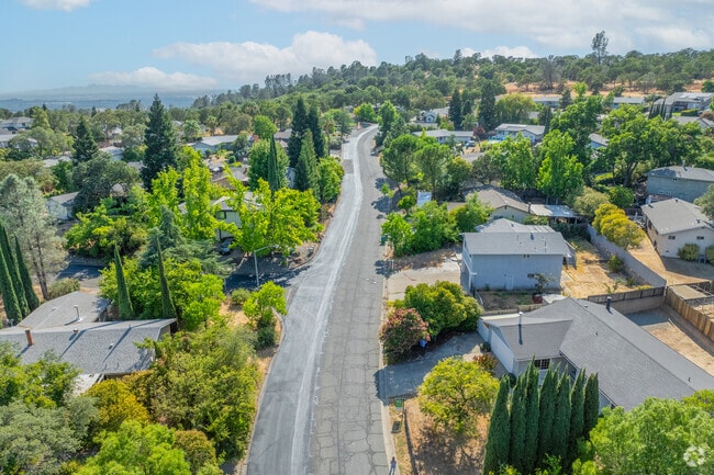
There is a scenic aerial panorama of the Oroville East neighborhood in Oroville, California.
Residents can go fishing at Forebay Beach.
Bangor is a rural community in Butte County, CA.
Homes in Bangor are established and unique.
Median Household Income
$45,913
Average: $64,856
Education
3,127
Residents Have a Degree
Job Market
6,891
Workers Employed
Median Age
35 Years
Largest Age Group
20-29 Years
Approximately 16% of Residents
Under 20
27%
Over 65
16%
Housing Distribution
Oroville has more renters than homeowners.

Education Distribution
Review this city's overall education levels.

As of August 2026, the average apartment rent in Oroville, CA is $912 for one bedroom, $1,216 for two bedrooms, and $1,185 for three bedrooms. Apartment rent in Oroville has increased by 1.1% in the past year.
Explore how walkable, bikeable, drivable, and transit-friendly Oroville, CA is for everyday living.
Fairly Walkable
Walkability
Exceptionally Drivable
Drivability
Fairly Bikeable
Bikeability

Public
Grades K-5
322 Students

Plumas Avenue Elementary School
Public
Grades K-5
322 Students
Ipakanni Early College Charter
Public
Grades K-12
63 Students

Public
Grades K-5
403 Students

Stanford Avenue Elementary School
Public
Grades K-5
403 Students
Public
Grades 6-8
456 Students
Public
Grades 6-8
456 Students
Ipakanni Early College Charter
Public
Grades K-12
63 Students
Public
Grades K-8
67 Students
Public
Grades K-8
67 Students
Ipakanni Early College Charter
Public
Grades K-12
63 Students
Public
Grades 9-12
1,265 Students

Public
Grades 9-12
1,265 Students
Public
Grades 9-12
872 Students
Public
Grades 9-12
872 Students
 The GreatSchools Rating helps parents compare schools within a state based on a variety of school quality indicators and provides a helpful picture of how effectively each school serves all of its students. Ratings are on a scale of 1 (below average) to 10 (above average) and can include test scores, college readiness, academic progress, advanced courses, equity, discipline and attendance data. We also advise parents to visit schools, consider other information on school performance and programs, and consider family needs as part of the school selection process.
View GreatSchools Rating Methodology
Data provided by
GreatSchools.org
© 2026. All rights reserved.
The GreatSchools Rating helps parents compare schools within a state based on a variety of school quality indicators and provides a helpful picture of how effectively each school serves all of its students. Ratings are on a scale of 1 (below average) to 10 (above average) and can include test scores, college readiness, academic progress, advanced courses, equity, discipline and attendance data. We also advise parents to visit schools, consider other information on school performance and programs, and consider family needs as part of the school selection process.
View GreatSchools Rating Methodology
Data provided by
GreatSchools.org
© 2026. All rights reserved.
† Our analysis of utilities, groceries, transportation, healthcare, home prices, and other goods and services is sourced from the Cost of Living Index, a respected benchmark published by the Council for Community and Economic Research (C2ER) that provides a thorough overview of living expenses across different regions.
Rent data is provided by CoStar Group’s Market Trend reports. As the industry leader in commercial real estate information, analytics, and news, CoStar conducts extensive research to produce and maintain a comprehensive database of commercial real estate information. We combine this data with public record to provide the most up-to-date rental information available.
Consumer goods, services, and home prices are sourced from the Cost of Living Index published by the Council for Community and Economic Research (C2ER). The data on this page is updated quarterly. It was last published in June 2026.
Demographic information comes from Neustar and combines detailed address data with U.S. Census and American Community Survey statistics to produce reliable local estimates.