Median Age
29 Years
Largest Age Group
10-19 Years
Approximately 19% of Residents
Under 20
36%
Over 65
8%
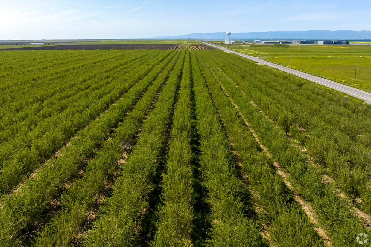
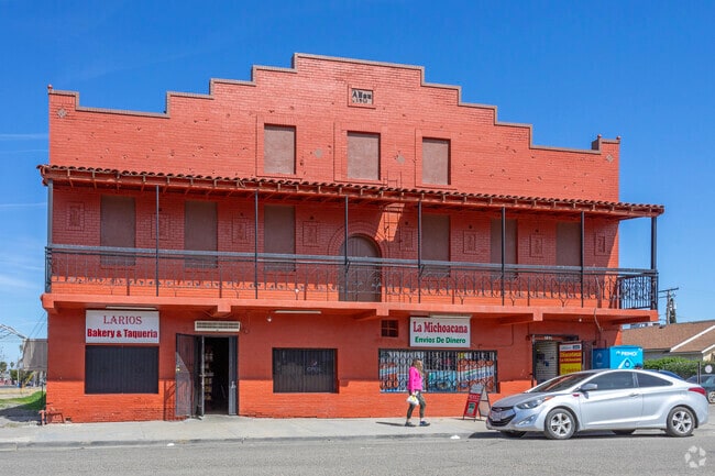
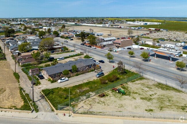
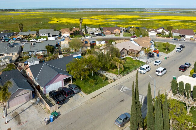
Mendota, California sits in the heart of Fresno County, where the San Joaquin Valley's agricultural roots run deep and the pace of daily life feels grounded and unhurried. Known informally as the "Cantaloupe Center of the World," the city has built its identity around farming and the land, with fields stretching out in nearly every direction. State Routes 180 and 33 connect residents to the broader region, making it practical to reach Fresno and other Central Valley hubs for work or errands.
With a population of roughly 12,500, Mendota has the feel of a close-knit small city where neighbors know each other and community events carry real meaning. The annual Cantaloupe Festival draws visitors from across the valley and reflects a genuine local pride that has defined this community for generations. Fresno State is accessible within driving distance, giving residents a nearby option for higher education and cultural programming.
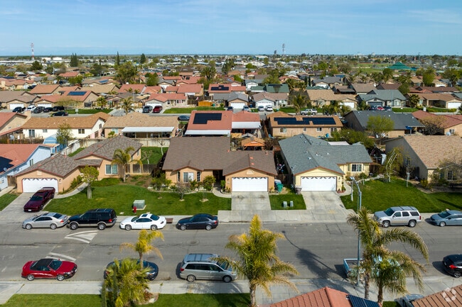
The housing landscape here is defined largely by single-family homes and smaller apartment communities that reflect the city's scale and character. Renters will find more affordable options compared to larger Central Valley metros, with modest, well-rooted neighborhoods spread across a compact footprint. For those drawn to a quieter lifestyle with strong community ties and easy access to Fresno County's wider amenities, Mendota offers a practical and welcoming place to call home.
Palm trees line many streets in Mendota, adding to the city’s distinctive landscape.
Mendota is an agricultural city in California.
Seasonal wildflowers add natural beauty to Mendota’s surrounding landscape.
Grab a seat and enjoy the breeze and outdoor dining in Mendota.
Rojas Pierce Park in Mendota offers basketball courts and recreational space for the community.
Wildflowers bloom across Mendota each spring, adding seasonal beauty to the region.
Median Household Income
$37,026
Average: $48,807
Education
329
Residents Have a Degree
Job Market
4,675
Workers Employed
Median Age
29 Years
Largest Age Group
10-19 Years
Approximately 19% of Residents
Under 20
36%
Over 65
8%
Housing Distribution
Mendota has more renters than homeowners.

Education Distribution
Review this city's overall education levels.

Explore how walkable, bikeable, drivable, and transit-friendly Mendota, CA is for everyday living.
Somewhat Walkable
Walkability
Limited Public Transit
Transit
Exceptionally Drivable
Drivability
Somewhat Bikeable
Bikeability

Public
Grades K-5
857 Students

Public
Grades K-5
986 Students

Public
Grades K-5
423 Students

Public
Grades K-5
423 Students
Public
Grades 6-8
612 Students

Public
Grades 6-8
612 Students
Public
Grades 9-12
1,065 Students
Mendota Continuation High School
Public
Grades 9-12
24 Students
 The GreatSchools Rating helps parents compare schools within a state based on a variety of school quality indicators and provides a helpful picture of how effectively each school serves all of its students. Ratings are on a scale of 1 (below average) to 10 (above average) and can include test scores, college readiness, academic progress, advanced courses, equity, discipline and attendance data. We also advise parents to visit schools, consider other information on school performance and programs, and consider family needs as part of the school selection process.
View GreatSchools Rating Methodology
Data provided by
GreatSchools.org
© 2026. All rights reserved.
The GreatSchools Rating helps parents compare schools within a state based on a variety of school quality indicators and provides a helpful picture of how effectively each school serves all of its students. Ratings are on a scale of 1 (below average) to 10 (above average) and can include test scores, college readiness, academic progress, advanced courses, equity, discipline and attendance data. We also advise parents to visit schools, consider other information on school performance and programs, and consider family needs as part of the school selection process.
View GreatSchools Rating Methodology
Data provided by
GreatSchools.org
© 2026. All rights reserved.
† Our analysis of utilities, groceries, transportation, healthcare, home prices, and other goods and services is sourced from the Cost of Living Index, a respected benchmark published by the Council for Community and Economic Research (C2ER) that provides a thorough overview of living expenses across different regions.
Rent data is provided by CoStar Group’s Market Trend reports. As the industry leader in commercial real estate information, analytics, and news, CoStar conducts extensive research to produce and maintain a comprehensive database of commercial real estate information. We combine this data with public record to provide the most up-to-date rental information available.
Consumer goods, services, and home prices are sourced from the Cost of Living Index published by the Council for Community and Economic Research (C2ER). The data on this page is updated quarterly. It was last published in September 2026.
Demographic information comes from Neustar and combines detailed address data with U.S. Census and American Community Survey statistics to produce reliable local estimates.