Median Age
43 Years
Largest Age Group
50-59 Years
Approximately 14% of Residents
Under 20
24%
Over 65
20%

Avg Rent
$3,006
Population
24,749
Renter Mix
24% Rent
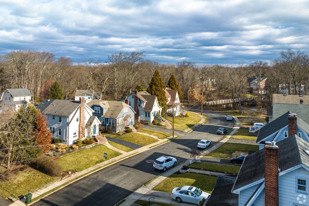
Cranford is a peaceful suburb situated in the heart of Union County. Lush with township and county parks as well as the Rahway River Parkway, Cranford offers ample opportunities to engage in outdoor recreation and connect with nature. Cranford is also home to the last working farm in Union County, Dreyer Farms, which provides fresh produce in addition to hosting a variety of special events.
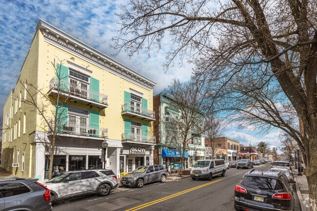
Cranford’s vibrant downtown area contains a slew of restaurants, specialty shops, cafes, and art galleries in colorful buildings, serving as a gathering place for the close-knit community. Commuting and traveling from Cranford is easy with access to the NJ Transit bus, Raritan Valley train line, and the Garden State Parkway. New York City and its many dynamic amenities are less than an hour’s drive or train ride away from Cranford.
Apartments sit above the businesses in Downtown Cranford.
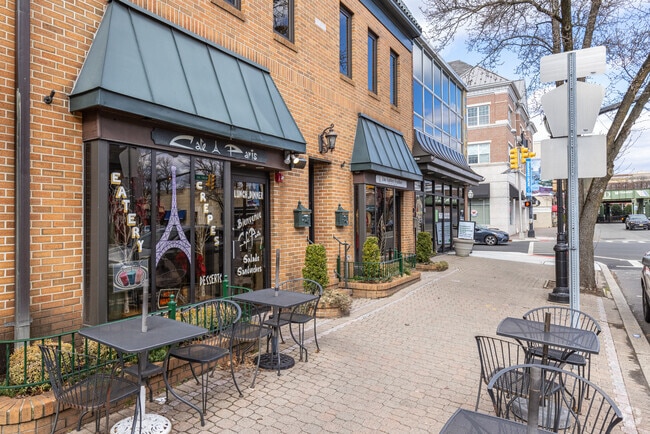
Cafe Paris in Downtown Cranford is known for its omelettes and crepes..
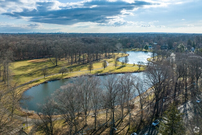
Nomahegan Park surrounds the Nomahegan lake, where locals can kayak in the summer.
Nomahegan Park has a bridge over the Rahway River connecting ends of its trail.
Walking path and lake in Nomahegan Park.
The town's 9/11 Memorial Park in Cranford
Median Household Income
$137,440
Average: $162,007
Education
11,548
Residents Have a Degree
Job Market
13,309
Workers Employed
Median Age
43 Years
Largest Age Group
50-59 Years
Approximately 14% of Residents
Under 20
24%
Over 65
20%
Housing Distribution
Cranford has more homeowners than renters.

Education Distribution
Review this city's overall education levels.

As of July 2026, the average apartment rent in Cranford, NJ is $1,904 for a studio, $3,006 for one bedroom, $3,518 for two bedrooms, and $2,411 for three bedrooms. Apartment rent in Cranford has increased by 7.1% in the past year.
Explore how walkable, bikeable, drivable, and transit-friendly Cranford, NJ is for everyday living.
Very Walkable
Walkability
Strong Public Transit
Transit
Moderately Drivable
Drivability
Fairly Bikeable
Bikeability
Brookside Place Elementary School
Public
Grades K-5
355 Students

Public
Grades K-5
253 Students
Public
Grades K-8
765 Students

Public
Grades K-8
743 Students
Public
Grades PK-5
294 Students

Public
Grades K-8
765 Students
Public
Grades K-8
743 Students
Public
Grades 9-12
1,095 Students
† Our analysis of utilities, groceries, transportation, healthcare, home prices, and other goods and services is sourced from the Cost of Living Index, a respected benchmark published by the Council for Community and Economic Research (C2ER) that provides a thorough overview of living expenses across different regions.
Rent data is provided by CoStar Group’s Market Trend reports. As the industry leader in commercial real estate information, analytics, and news, CoStar conducts extensive research to produce and maintain a comprehensive database of commercial real estate information. We combine this data with public record to provide the most up-to-date rental information available.
Consumer goods, services, and home prices are sourced from the Cost of Living Index published by the Council for Community and Economic Research (C2ER). The data on this page is updated quarterly. It was last published in June 2026.
Demographic information comes from Neustar and combines detailed address data with U.S. Census and American Community Survey statistics to produce reliable local estimates.


