Median Age
45 Years
Largest Age Group
55-64 Years
Approximately 16% of Residents
Under 20
22%
Over 65
21%

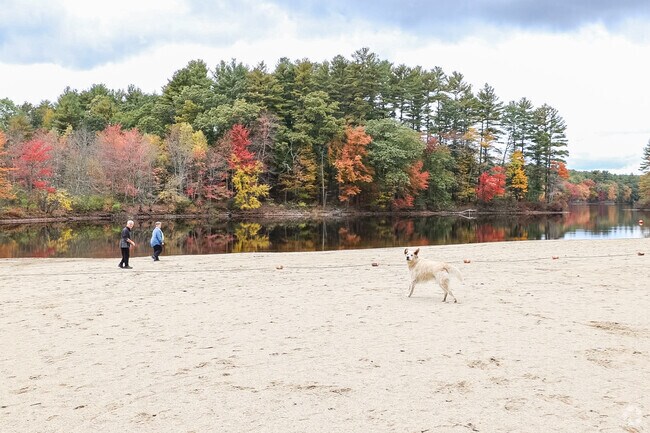

Spread across 44 square miles of wooded hills, reservoirs, and rolling countryside, Charlton sits roughly halfway between Boston and Hartford -- a New England town where daily life moves at a slower pace. Large green spaces, quiet back roads, and natural scenery define the landscape, and residents drive short distances to Sturbridge, Oxford, and Southbridge for restaurants, grocery stores, and big-box retail. Interstate 90 and U.S. Route 20 keep Worcester within about 30 minutes for commuters.
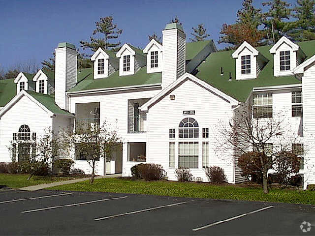
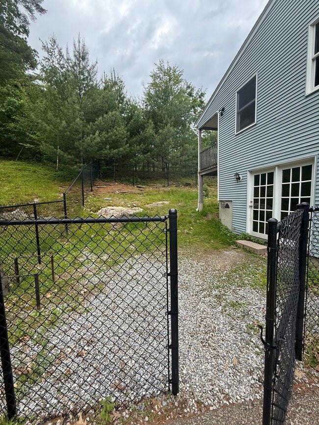
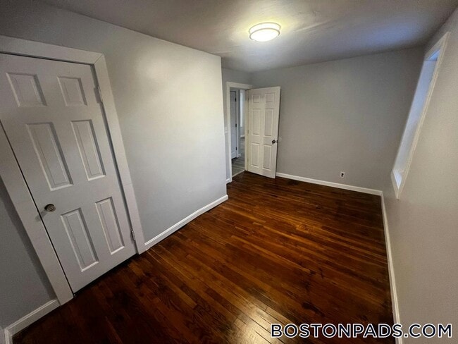
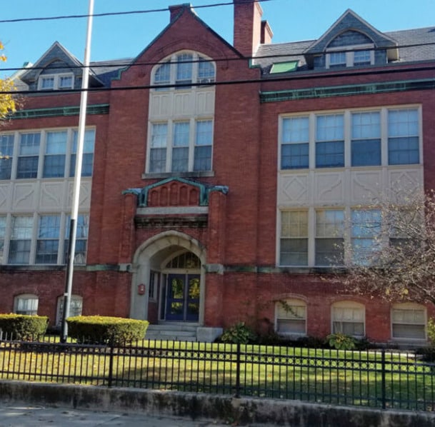
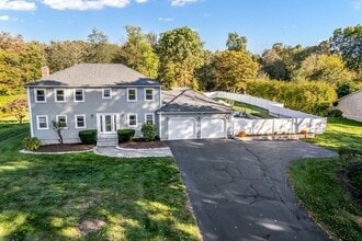
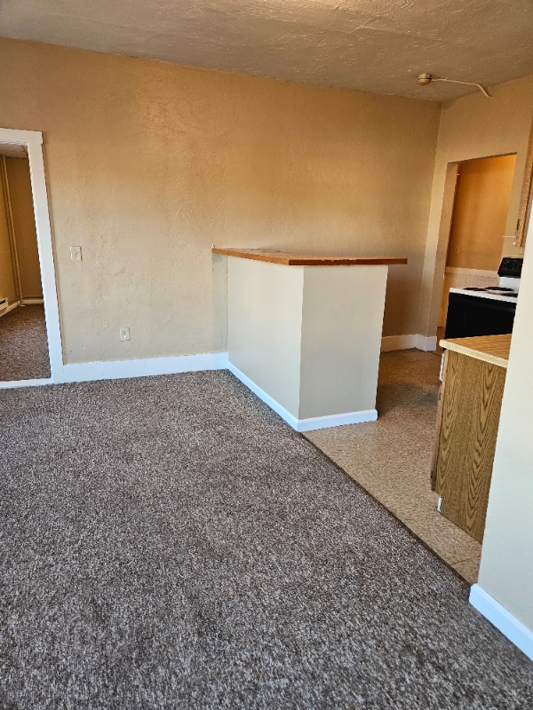
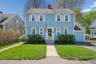
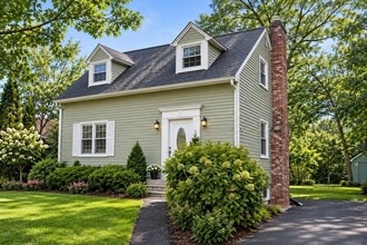
The rental inventory leans toward small apartment communities tucked among the trees, with traditional New England architecture surrounding most properties. Single-family rental homes on spacious lots are also common.
Clark University, the College of the Holy Cross, and Worcester State University are all within roughly 30 minutes, anchoring a broader regional economy that's accessible from Charlton. The town marks 250 years of incorporation in 2025 -- a milestone that reflects deep roots in Massachusetts history.
Worcester Airport offers easy, convenient access to regional and national travel.
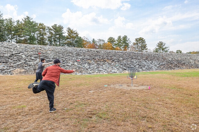
The Disc Golf Course at Buffumville Lake Park is frequently visited by locals.
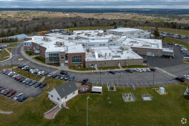
Bay Path Regional Vocational also serves some Post-Grad students as well.
Median Household Income
$114,889
Average: $130,983
Education
3,989
Residents Have a Degree
Job Market
6,908
Workers Employed
Median Age
45 Years
Largest Age Group
55-64 Years
Approximately 16% of Residents
Under 20
22%
Over 65
21%
Housing Distribution
Charlton has more homeowners than renters.

Education Distribution
Review this city's overall education levels.

Explore how walkable, bikeable, drivable, and transit-friendly Charlton, MA is for everyday living.
Somewhat Walkable
Walkability
Exceptionally Drivable
Drivability
Somewhat Bikeable
Bikeability

Public
Grades K-5
433 Students

Public
Grades K-8
623 Students

Public
Grades PK-5
301 Students

Public
Grades PK-5
301 Students
Public
Grades K-8
623 Students
Bay Path Regional Vocational Technical High School
Public
Grades 9-12
1,180 Students
 The GreatSchools Rating helps parents compare schools within a state based on a variety of school quality indicators and provides a helpful picture of how effectively each school serves all of its students. Ratings are on a scale of 1 (below average) to 10 (above average) and can include test scores, college readiness, academic progress, advanced courses, equity, discipline and attendance data. We also advise parents to visit schools, consider other information on school performance and programs, and consider family needs as part of the school selection process.
View GreatSchools Rating Methodology
Data provided by
GreatSchools.org
© 2026. All rights reserved.
The GreatSchools Rating helps parents compare schools within a state based on a variety of school quality indicators and provides a helpful picture of how effectively each school serves all of its students. Ratings are on a scale of 1 (below average) to 10 (above average) and can include test scores, college readiness, academic progress, advanced courses, equity, discipline and attendance data. We also advise parents to visit schools, consider other information on school performance and programs, and consider family needs as part of the school selection process.
View GreatSchools Rating Methodology
Data provided by
GreatSchools.org
© 2026. All rights reserved.
† Our analysis of utilities, groceries, transportation, healthcare, home prices, and other goods and services is sourced from the Cost of Living Index, a respected benchmark published by the Council for Community and Economic Research (C2ER) that provides a thorough overview of living expenses across different regions.
Rent data is provided by CoStar Group’s Market Trend reports. As the industry leader in commercial real estate information, analytics, and news, CoStar conducts extensive research to produce and maintain a comprehensive database of commercial real estate information. We combine this data with public record to provide the most up-to-date rental information available.
Consumer goods, services, and home prices are sourced from the Cost of Living Index published by the Council for Community and Economic Research (C2ER). The data on this page is updated quarterly. It was last published in September 2026.
Demographic information comes from Neustar and combines detailed address data with U.S. Census and American Community Survey statistics to produce reliable local estimates.