
Centro Callan
100 Callan Ave,
San Leandro, CA 94577
$2,282 - $7,826
Studio - 3 Beds
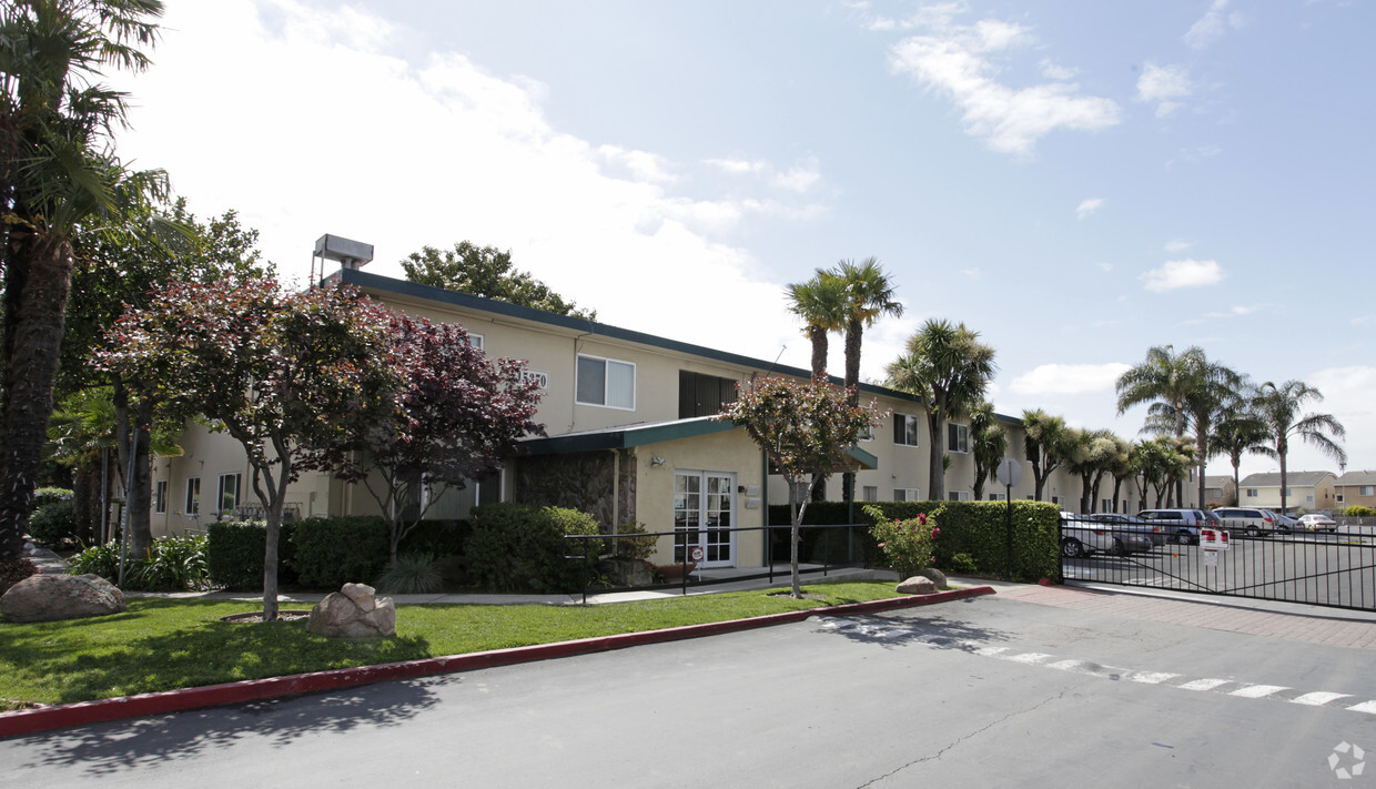
Experience a new place to live at Las Palmas. This community can be found on Tropic Ct. in the 94579 area of San Leandro. Make sure you to see the available floorplan options. At Las Palmas, you'll have a wide selection of features and amenities. Stop by the leasing office to find out the current floorplan availability.
Las Palmas is an apartment community located in Alameda County and the 94579 ZIP Code. This area is served by the San Lorenzo Unified School District attendance zone.
Pool
Laundry Facilities
Playground
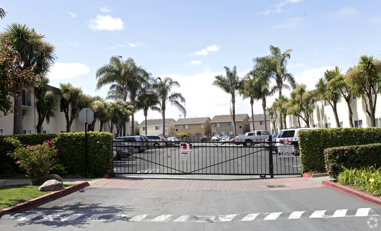
Gated
Air Conditioning
High Speed Internet Access
Refrigerator
Tub/Shower
Located about 11 miles south of Oakland, Floresta Gardens-Bradrick lies between Interstates 580 and 880 in the East Bay. Here, residents enjoy a quiet, more suburban lifestyle while being close enough to San Francisco and other East Bay communities to take advantage of countless job opportunities, restaurants, and various cultural offerings.
Once associated with the food processing industry, this area now houses numerous national corporations, which employ many Floresta Gardens-Bradrick residents. The area also boasts a broad range of apartments available for rent in a convenient locale. Shorter commute times and more affordable rent prices serve as two big incentives for renters to call Floresta Gardens-Bradick home.
Learn more about living in Floresta Gardens-BradrickCompare neighborhood and city base rent averages by bedroom.
| Floresta Gardens-Bradrick | San Leandro, CA | |
|---|---|---|
| Studio | $1,719 | $1,827 |
| 1 Bedroom | $1,826 | $1,875 |
| 2 Bedrooms | $2,327 | $2,301 |
| 3 Bedrooms | $2,499 | $2,879 |
| Colleges & Universities | Distance | ||
|---|---|---|---|
| Colleges & Universities | Distance | ||
| Drive: | 9 min | 5.7 mi | |
| Drive: | 11 min | 7.1 mi | |
| Drive: | 17 min | 9.8 mi | |
| Drive: | 14 min | 11.0 mi |


Transportation options available in San Leandro include Bay Fair Station, located 1.5 miles from Las Palmas. Las Palmas is near Metro Oakland International, located 7.2 miles or 11 minutes away, and San Francisco International, located 25.0 miles or 32 minutes away.
| Transit / Subway | Distance | ||
|---|---|---|---|
| Transit / Subway | Distance | ||
|
|
Drive: | 4 min | 1.5 mi |
|
|
Drive: | 7 min | 3.1 mi |
|
|
Drive: | 7 min | 3.7 mi |
|
|
Drive: | 9 min | 6.5 mi |
|
|
Drive: | 11 min | 6.9 mi |
| Commuter Rail | Distance | ||
|---|---|---|---|
| Commuter Rail | Distance | ||
| Drive: | 6 min | 3.3 mi | |
|
|
Drive: | 6 min | 3.3 mi |
|
|
Drive: | 15 min | 11.3 mi |
| Drive: | 17 min | 12.0 mi | |
| Drive: | 18 min | 12.2 mi |
| Airports | Distance | ||
|---|---|---|---|
| Airports | Distance | ||
|
Metro Oakland International
|
Drive: | 11 min | 7.2 mi |
|
San Francisco International
|
Drive: | 32 min | 25.0 mi |
Scores provided by
Traffic
BusyAirport
CalmBusinesses
ActiveScores provided by
HowLoud What is a Sound Score Rating? A Sound Score Rating aggregates noise caused by vehicle traffic, airplane traffic and local sources. How It WorksTime and distance from Las Palmas.
| Shopping Centers | Distance | ||
|---|---|---|---|
| Shopping Centers | Distance | ||
| Walk: | 8 min | 0.4 mi | |
| Walk: | 10 min | 0.6 mi | |
| Walk: | 11 min | 0.6 mi |
| Parks and Recreation | Distance | ||
|---|---|---|---|
| Parks and Recreation | Distance | ||
|
Hayward Regional Shoreline
|
Drive: | 9 min | 2.8 mi |
|
Lake Chabot Regional Park
|
Drive: | 8 min | 4.2 mi |
|
Sulphur Creek Nature Center
|
Drive: | 11 min | 5.2 mi |
|
Dunsmuir Hellman Historic Estate
|
Drive: | 11 min | 5.6 mi |
|
Hayward Shoreline Interpretive Center
|
Drive: | 12 min | 7.1 mi |
| Hospitals | Distance | ||
|---|---|---|---|
| Hospitals | Distance | ||
| Drive: | 4 min | 2.4 mi | |
| Drive: | 6 min | 3.5 mi | |
| Drive: | 8 min | 5.4 mi |
| Military Bases | Distance | ||
|---|---|---|---|
| Military Bases | Distance | ||
| Drive: | 23 min | 14.6 mi | |
| Drive: | 23 min | 14.8 mi | |
| Drive: | 24 min | 14.8 mi |
Pets Allowed Fitness Center In Unit Washer & Dryer Walk-In Closets Stainless Steel Appliances Hardwood Floors EV Charging
What Are Walk Score®, Transit Score®, and Bike Score® Ratings?
Walk Score® measures the walkability of any address. Transit Score® measures access to public transit. Bike Score® measures the bikeability of any address.
What is a Sound Score Rating?
A Sound Score Rating aggregates noise caused by vehicle traffic, airplane traffic and local sources.

15370 Tropic Ct
San Leandro, CA 94579


