
-
JTM Investment Group LLC
-
-
-
$1,000
/ Month
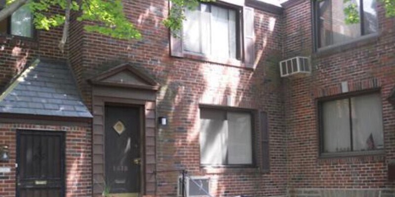
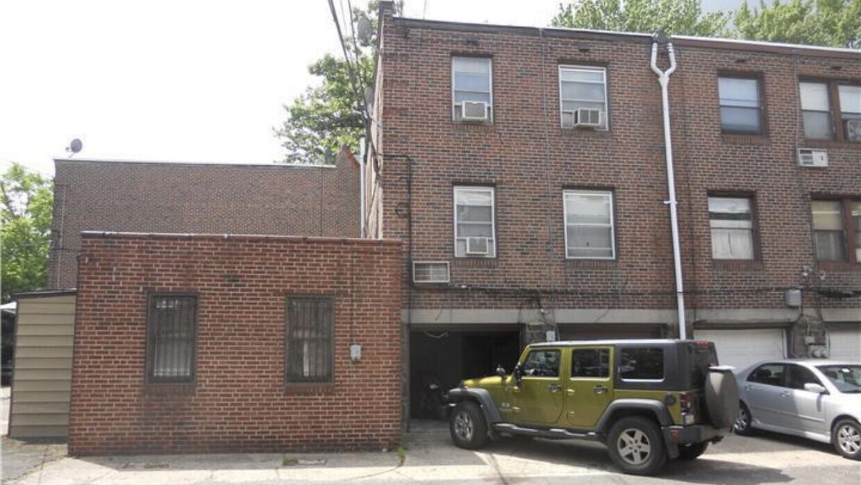
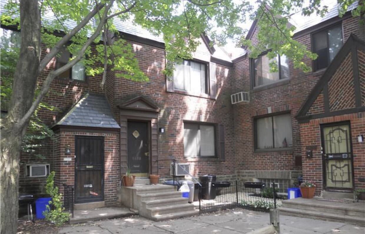
1418 67th Ave
Philadelphia, PA 19126
2 Weeks Ago
|
Edit
Favorites
1418 67th Ave

Favorites
Check Back Soon for Upcoming Availability
| Beds | Baths | Average SF |
|---|---|---|
| 2 Bedrooms 2 Bedrooms 2 Br | 1 Bath 1 Bath 1 Ba | 1,000 SF |
About This Property
2Bedroom 1 bathroom unit with available parking
1418 67th Ave is a condo located in Philadelphia County and the 19126 ZIP Code. This area is served by the The School District of Philadelphia attendance zone.
Condo Features
- Refrigerator
- Hardwood Floors
- Laundry Facilities
- Storage Space
Location
Get Directions
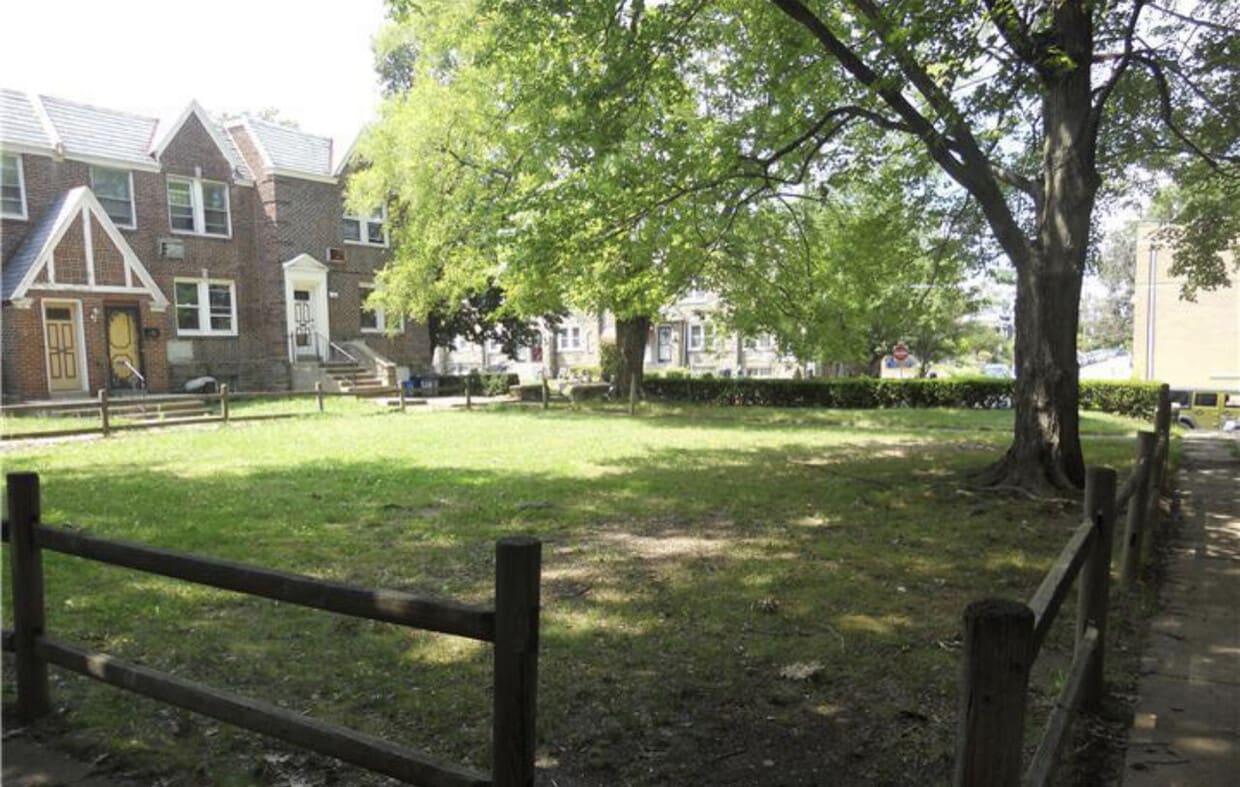
Philadelphia’s West Oak Lane community is a vibrant and historic neighborhood on the north end of the city. Vintage townhomes line many of the neighborhood’s streets, but the local rental market features a diverse selection of apartments, condos, and single-family homes as well. Most of the neighborhood is residential, with a few cafes and small storefront businesses scattered throughout: low-key favorites like June’s Restaurant and Moonlight Cuisine keep the locals well-fed, day and night.
Just up Ogontz Avenue, you’ll find a much larger shopping district anchored by Cheltenham Mall as well as a diverse selection of dining options ranging from seafood to barbecue. Several public schools are positioned within walking distance of West Oak Lane, and both La Salle University and Gratz College are conveniently located nearby, making this neighborhood a great option for students, faculty, and staff members.
Learn more about living in West Oak LaneBelow are rent ranges for similar nearby apartments
Amenities
- Refrigerator
- Hardwood Floors
- Laundry Facilities
- Storage Space
Education
| Colleges & Universities | Distance | ||
|---|---|---|---|
| Colleges & Universities | Distance | ||
| Walk: | 14 min | 0.8 mi | |
| Drive: | 6 min | 2.0 mi | |
| Drive: | 6 min | 2.8 mi | |
| Drive: | 8 min | 3.2 mi |
1418 67th Ave is within 14 minutes or 0.8 mile from C.C. of Philadelphia, NW Ctr. It is also near La Salle University and Salus University.
Schools


Public Elementary School
Grades PK-5
298 Students
Attendance Zone
Public Middle School
Grades 6-8
364 Students
Attendance Zone
Public High School
Grades 9-12
498 Students
Attendance Zone
Private Elementary, Middle & High School
Grades PK-12
142 Students
Nearby
School data provided by
 The GreatSchools Rating helps parents compare schools within a state based on a variety of school quality indicators and provides a helpful picture of how effectively each school serves all of its students. Ratings are on a scale of 1 (below average) to 10 (above average) and can include test scores, college readiness, academic progress, advanced courses, equity, discipline and attendance data. We also advise parents to visit schools, consider other information on school performance and programs, and consider family needs as part of the school selection process.
View GreatSchools Rating Methodology
Data provided by GreatSchools.org © 2025. All rights reserved.
View GreatSchools Rating Methodology
Data provided by GreatSchools.org © 2025. All rights reserved.
Transportation options available in Philadelphia include Olney, located 1.2 miles from 1418 67th Ave. 1418 67th Ave is near Philadelphia International, located 18.9 miles or 35 minutes away, and Trenton Mercer, located 28.6 miles or 47 minutes away.
| Transit / Subway | Distance | ||
|---|---|---|---|
| Transit / Subway | Distance | ||
|
|
Drive: | 3 min | 1.2 mi |
|
|
Drive: | 4 min | 1.4 mi |
|
|
Drive: | 5 min | 1.8 mi |
|
|
Drive: | 6 min | 2.2 mi |
|
|
Drive: | 7 min | 3.2 mi |
| Commuter Rail | Distance | ||
|---|---|---|---|
| Commuter Rail | Distance | ||
|
|
Drive: | 3 min | 1.3 mi |
|
|
Drive: | 4 min | 1.9 mi |
|
|
Drive: | 5 min | 2.1 mi |
|
|
Drive: | 5 min | 2.2 mi |
|
|
Drive: | 7 min | 2.4 mi |
| Airports | Distance | ||
|---|---|---|---|
| Airports | Distance | ||
|
Philadelphia International
|
Drive: | 35 min | 18.9 mi |
|
Trenton Mercer
|
Drive: | 47 min | 28.6 mi |
Time and distance from 1418 67th Ave.
| Shopping Centers | Distance | ||
|---|---|---|---|
| Shopping Centers | Distance | ||
| Walk: | 16 min | 0.8 mi | |
| Walk: | 19 min | 1.0 mi | |
| Drive: | 4 min | 1.5 mi |
1418 67th Ave has 3 shopping centers within 1.5 miles, which is about a 4-minute walk. The miles and minutes will be for the farthest away property.
| Parks and Recreation | Distance | ||
|---|---|---|---|
| Parks and Recreation | Distance | ||
|
Awbury Arboretum
|
Drive: | 5 min | 2.1 mi |
|
Tacony Creek Park
|
Drive: | 9 min | 5.0 mi |
|
Briar Bush Nature Center
|
Drive: | 12 min | 5.6 mi |
|
The Morris Arboretum
|
Drive: | 14 min | 5.9 mi |
|
Lorimer Park
|
Drive: | 14 min | 7.0 mi |
1418 67th Ave has 5 parks within 7.0 miles, including Awbury Arboretum, Tacony Creek Park, and Lorimer Park.
| Hospitals | Distance | ||
|---|---|---|---|
| Hospitals | Distance | ||
| Drive: | 3 min | 1.4 mi | |
| Drive: | 9 min | 3.5 mi | |
| Drive: | 8 min | 4.5 mi |
1418 67th Ave has 3 hospitals within 4.5 miles, the nearest is Albert Einstein Medical Center which is 1.4 miles away and a 3 minute drive.
| Military Bases | Distance | ||
|---|---|---|---|
| Military Bases | Distance | ||
| Drive: | 25 min | 11.9 mi |
1418 67th Ave is 11.9 miles and a 25 minute drive from Willow Grove Naval Air Station.
You May Also Like
Similar Rentals Nearby


What Are Walk Score®, Transit Score®, and Bike Score® Ratings?
Walk Score® measures the walkability of any address. Transit Score® measures access to public transit. Bike Score® measures the bikeability of any address.
What is a Sound Score Rating?
A Sound Score Rating aggregates noise caused by vehicle traffic, airplane traffic and local sources

1418 67th Ave
Philadelphia, PA 19126