
MODA
153-30 89th Ave,
Jamaica, NY 11432
$3,265 - $3,502
2 Beds
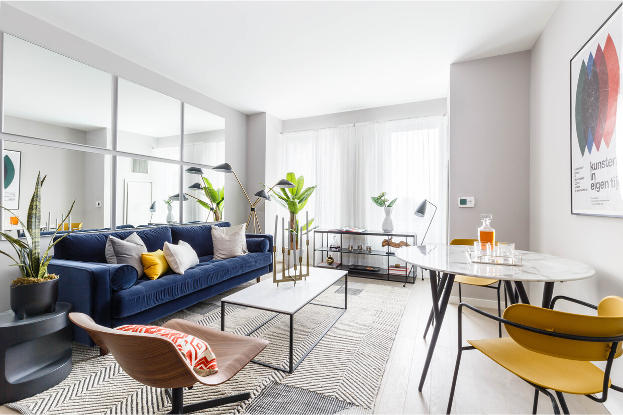

Introducing an unparalleled opportunity for New Yorkers to indulge in the art of living well in the heart of the city we all love dearly. The Crossing at Jamaica Station is a new multi-use development consisting of a soaring 30-story tower and a 14-story midrise building in Queens, New York designed by the award-winning FXCollaborative. Inside is a dynamic collection of 669 studio-, one-, two- and three-bedroom residences and an expansive indoor and outdoor amenity offering that sets a new standard that exemplifies the future of luxe urban livin
Jamaica Crossing is an apartment community located in Queens County and the 11435 ZIP Code. This area is served by the New York City Geographic District #28 attendance zone.
Unique Features
Fitness Center
Laundry Facilities
Elevator
Doorman
Roof Terrace
Controlled Access
Recycling
24 Hour Access
Air Conditioning
Dishwasher
Hardwood Floors
Refrigerator
Tub/Shower
Freezer
Stainless Steel Appliances
Smoke Free
Downtown Jamaica is the picture of hustle and bustle in Queens, New York! With an abundance of shopping and an eclectic atmosphere, this busy retail district offers a unique lifestyle in east New York. Local charm is an understatement when it comes to this tight-knit community. From major retailers to local businesses, Downtown Jamaica has everything you could ever need, and probably more.
York College resides on the south side of downtown, offering a sprawling, tree-lined campus with plenty of recreational amenities, parking, and access to public transit. Enjoy nearby museums, fitness centers, parks, and movie theaters—all family-friendly locations! Downtown Jamaica continues to rise with new developments focusing on high-rise residential buildings.
Learn more about living in Downtown JamaicaCompare neighborhood and city base rent averages by bedroom.
| Downtown Jamaica | Jamaica, NY | |
|---|---|---|
| Studio | $1,945 | $1,751 |
| 1 Bedroom | $2,411 | $2,200 |
| 2 Bedrooms | $2,967 | $2,720 |
| 3 Bedrooms | $3,620 | $3,439 |
| Colleges & Universities | Distance | ||
|---|---|---|---|
| Colleges & Universities | Distance | ||
| Walk: | 11 min | 0.6 mi | |
| Drive: | 8 min | 2.7 mi | |
| Drive: | 9 min | 5.1 mi | |
| Drive: | 13 min | 6.7 mi |


Transportation options available in Jamaica include Sutphin Boulevard-Archer Avenue-Jfk Airport, located 0.0 mile from Jamaica Crossing. Jamaica Crossing is near John F Kennedy International, located 5.7 miles or 11 minutes away, and LaGuardia, located 7.1 miles or 14 minutes away.
| Transit / Subway | Distance | ||
|---|---|---|---|
| Transit / Subway | Distance | ||
|
|
Walk: | 2 min | 0.0 mi |
|
|
Walk: | 4 min | 0.2 mi |
|
|
Walk: | 6 min | 0.3 mi |
|
|
Walk: | 8 min | 0.4 mi |
|
|
Walk: | 13 min | 0.7 mi |
| Commuter Rail | Distance | ||
|---|---|---|---|
| Commuter Rail | Distance | ||
|
|
Walk: | 2 min | 0.1 mi |
|
|
Drive: | 4 min | 1.8 mi |
|
|
Drive: | 5 min | 1.9 mi |
|
|
Drive: | 5 min | 2.3 mi |
|
|
Drive: | 7 min | 3.0 mi |
| Airports | Distance | ||
|---|---|---|---|
| Airports | Distance | ||
|
John F Kennedy International
|
Drive: | 11 min | 5.7 mi |
|
LaGuardia
|
Drive: | 14 min | 7.1 mi |
Time and distance from Jamaica Crossing.
| Shopping Centers | Distance | ||
|---|---|---|---|
| Shopping Centers | Distance | ||
| Walk: | 8 min | 0.4 mi | |
| Walk: | 13 min | 0.7 mi | |
| Drive: | 4 min | 1.2 mi |
| Parks and Recreation | Distance | ||
|---|---|---|---|
| Parks and Recreation | Distance | ||
|
Rufus King Park
|
Walk: | 5 min | 0.3 mi |
|
Detective Keith L. Williams Park
|
Drive: | 4 min | 1.5 mi |
|
Baisley Pond Park
|
Drive: | 5 min | 2.3 mi |
|
Forest Park - Brooklyn-Queens
|
Drive: | 5 min | 2.3 mi |
|
Roy Wilkins Recreation Center
|
Drive: | 7 min | 3.1 mi |
| Hospitals | Distance | ||
|---|---|---|---|
| Hospitals | Distance | ||
| Walk: | 12 min | 0.7 mi | |
| Drive: | 5 min | 1.7 mi | |
| Drive: | 11 min | 5.5 mi |
| Military Bases | Distance | ||
|---|---|---|---|
| Military Bases | Distance | ||
| Drive: | 16 min | 9.4 mi | |
| Drive: | 31 min | 14.4 mi |
What Are Walk Score®, Transit Score®, and Bike Score® Ratings?
Walk Score® measures the walkability of any address. Transit Score® measures access to public transit. Bike Score® measures the bikeability of any address.
What is a Sound Score Rating?
A Sound Score Rating aggregates noise caused by vehicle traffic, airplane traffic and local sources

14740 Archer Ave
Jamaica, NY 11435


