
Ellwood at Lake Travis
7655 N Ranch Road 620,
Austin, TX 78726
$995 - $3,085
1-3 Beds
Bedrooms
1 - 5 bd
Bathrooms
1 - 5 ba
Square Feet
622 - 1,759 sq ft
Prices shown are Base Rent. Additional non-optional and other potential fees not included. See PRICE FROM “I” icon for more detail.
Prices shown are Base Rent. Additional non-optional and other potential fees not included. See PRICE FROM “I” icon for more detail.
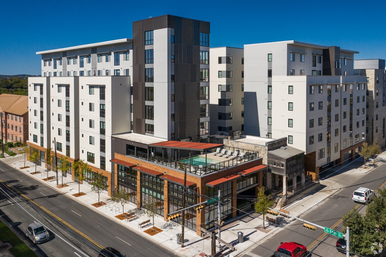
HillTop is an apartment community located in Travis County and the 78705 ZIP Code. This area is served by the Austin Independent attendance zone.
Pool
Fitness Center
Furnished Units Available
Elevator
Roof Terrace
Controlled Access
Recycling
Grill
Washer/Dryer
Air Conditioning
Dishwasher
High Speed Internet Access
Hardwood Floors
Walk-In Closets
Island Kitchen
Granite Countertops
Colorful, active, dynamic, energetic, diverse – all of these apply to West Campus, and with its large amount of students in the neighborhood, it’s easy to see why. The brightly-painted buildings, the trendy little pizza joints, and even the amount of bicycles in the area help define this neighborhood as a haven for University of Texas-Austin students. But even if you aren’t a student, this neighborhood is terrific – there are plenty of apartments to choose from, the housing stock is diverse, and the location is ideal.
West Campus extends from Lamar Boulevard to “the Drag,” or Guadalupe Street. The Drag is where you’ll find a wide selection of shops, restaurants, and bars. These include local favorites like Cabo Bob’s, Halal Bros, the Spider House Café and Ballroom, and Kerbey Lane Café. On the west side, things are a little quieter with Pease Park and the Shoal Creek Greenbelt framing the area.
Learn more about living in West Campus Austin| Colleges & Universities | Distance | ||
|---|---|---|---|
| Colleges & Universities | Distance | ||
| Walk: | 18 min | 1.0 mi | |
| Drive: | 4 min | 1.7 mi | |
| Drive: | 8 min | 3.8 mi | |
| Drive: | 11 min | 5.9 mi |


Transportation options available in Austin include Downtown Station, located 2.4 miles from HillTop. HillTop is near Austin-Bergstrom International, located 13.2 miles or 26 minutes away.
| Transit / Subway | Distance | ||
|---|---|---|---|
| Transit / Subway | Distance | ||
| Drive: | 5 min | 2.4 mi | |
| Drive: | 6 min | 3.0 mi | |
| Drive: | 7 min | 3.1 mi | |
| Drive: | 9 min | 4.1 mi | |
| Drive: | 10 min | 4.4 mi |
| Commuter Rail | Distance | ||
|---|---|---|---|
| Commuter Rail | Distance | ||
|
|
Drive: | 5 min | 2.0 mi |
|
|
Drive: | 41 min | 33.2 mi |
|
|
Drive: | 45 min | 36.5 mi |
| Airports | Distance | ||
|---|---|---|---|
| Airports | Distance | ||
|
Austin-Bergstrom International
|
Drive: | 26 min | 13.2 mi |
Time and distance from HillTop.
| Shopping Centers | Distance | ||
|---|---|---|---|
| Shopping Centers | Distance | ||
| Walk: | 6 min | 0.3 mi | |
| Walk: | 13 min | 0.7 mi | |
| Walk: | 13 min | 0.7 mi |
| Parks and Recreation | Distance | ||
|---|---|---|---|
| Parks and Recreation | Distance | ||
|
Shoal Creek Greenbelt Park
|
Walk: | 10 min | 0.5 mi |
|
Texas Memorial Museum
|
Drive: | 4 min | 1.5 mi |
|
Elisabet Ney Museum
|
Drive: | 6 min | 2.3 mi |
|
Austin Nature and Science Center
|
Drive: | 9 min | 4.6 mi |
|
Zilker Nature Preserve
|
Drive: | 9 min | 4.6 mi |
| Hospitals | Distance | ||
|---|---|---|---|
| Hospitals | Distance | ||
| Drive: | 4 min | 1.8 mi | |
| Drive: | 5 min | 1.8 mi | |
| Drive: | 4 min | 2.5 mi |
| Military Bases | Distance | ||
|---|---|---|---|
| Military Bases | Distance | ||
| Drive: | 83 min | 68.2 mi | |
| Drive: | 92 min | 74.2 mi |
What Are Walk Score®, Transit Score®, and Bike Score® Ratings?
Walk Score® measures the walkability of any address. Transit Score® measures access to public transit. Bike Score® measures the bikeability of any address.
What is a Sound Score Rating?
A Sound Score Rating aggregates noise caused by vehicle traffic, airplane traffic and local sources

2400 San Gabriel St
Austin, TX 78705


