
Cortland on Blake
1451 24th St,
Denver, CO 80205
$1,438 - $7,795
Studio - 3 Beds

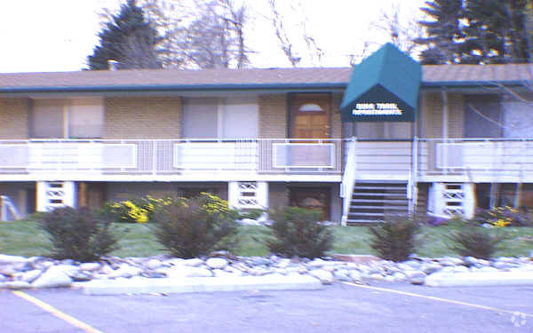
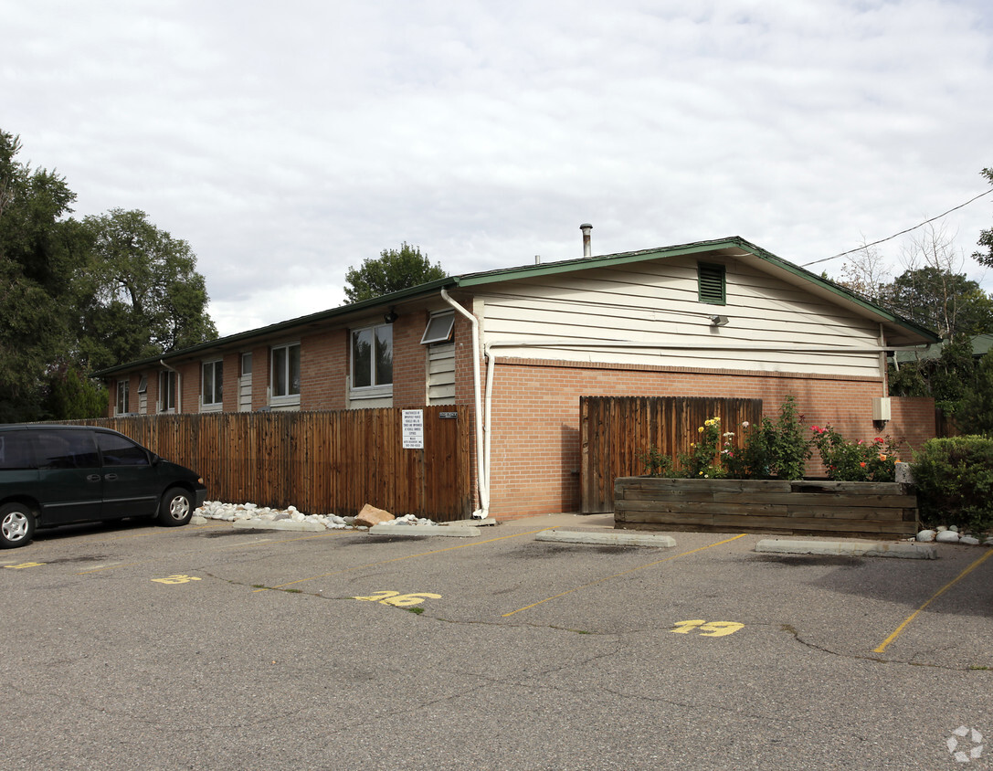

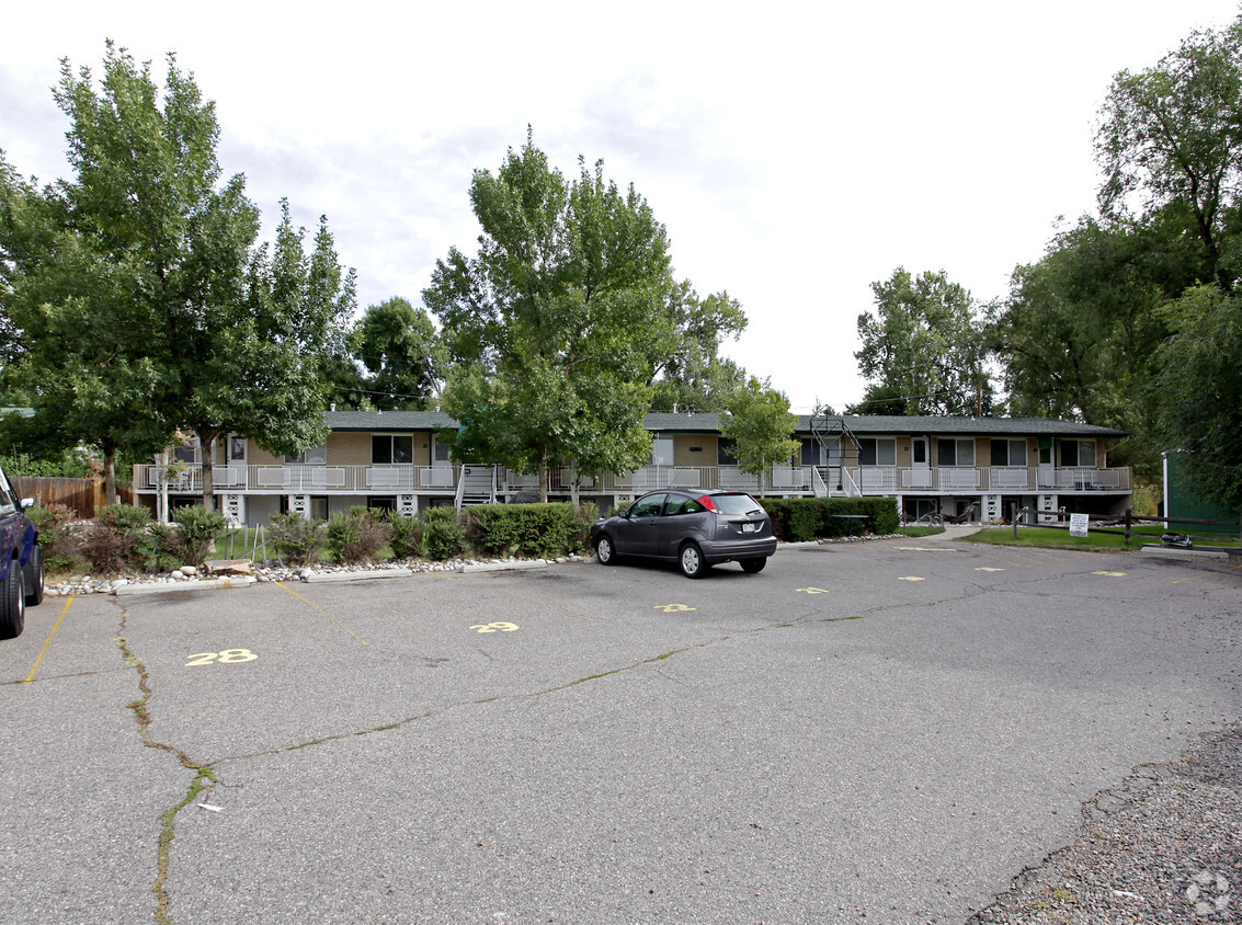
Highline Canal Apartments is an apartment community located in Arapahoe County and the 80222 ZIP Code. This area is served by the Cherry Creek 5 attendance zone.
Located nine miles from Downtown Denver, Southeast Denver comprises the neighborhoods in the southeast of Denver along Interstate 25. Boasting a history almost as old as Denver itself, the area houses the University of Denver and its many beautiful historic buildings, but it has neighborhoods full of contemporary construction as well. Families enjoy the suburban feel of this area, students enjoy the proximity to the university, and professionals enjoy the easy commute into Denver. The beauty of the Rockies lies to the west, opening Southeast residents up to hiking opportunities and more.
Learn more about living in Southeast| Colleges & Universities | Distance | ||
|---|---|---|---|
| Colleges & Universities | Distance | ||
| Drive: | 6 min | 2.8 mi | |
| Drive: | 15 min | 6.5 mi | |
| Drive: | 13 min | 8.6 mi | |
| Drive: | 17 min | 9.5 mi |


Transportation options available in Denver include Colorado, located 1.1 miles from Highline Canal Apartments. Highline Canal Apartments is near Denver International, located 28.4 miles or 35 minutes away.
| Transit / Subway | Distance | ||
|---|---|---|---|
| Transit / Subway | Distance | ||
|
|
Drive: | 3 min | 1.1 mi |
|
|
Drive: | 3 min | 1.7 mi |
|
|
Drive: | 3 min | 1.8 mi |
|
|
Drive: | 5 min | 3.4 mi |
|
|
Drive: | 7 min | 4.2 mi |
| Commuter Rail | Distance | ||
|---|---|---|---|
| Commuter Rail | Distance | ||
| Drive: | 18 min | 7.9 mi | |
|
|
Drive: | 14 min | 9.1 mi |
|
|
Drive: | 15 min | 9.4 mi |
| Drive: | 21 min | 9.5 mi | |
| Drive: | 21 min | 9.5 mi |
| Airports | Distance | ||
|---|---|---|---|
| Airports | Distance | ||
|
Denver International
|
Drive: | 35 min | 28.4 mi |
Time and distance from Highline Canal Apartments.
| Shopping Centers | Distance | ||
|---|---|---|---|
| Shopping Centers | Distance | ||
| Walk: | 10 min | 0.5 mi | |
| Walk: | 15 min | 0.8 mi | |
| Drive: | 3 min | 1.1 mi |
| Parks and Recreation | Distance | ||
|---|---|---|---|
| Parks and Recreation | Distance | ||
|
Chamberlin & Mt. Evans Observatories
|
Drive: | 5 min | 2.1 mi |
|
Washington Park
|
Drive: | 9 min | 4.8 mi |
|
Denver Botanic Gardens at York St.
|
Drive: | 15 min | 5.6 mi |
|
Denver Museum of Nature & Science
|
Drive: | 14 min | 6.0 mi |
|
DeKoevend Park
|
Drive: | 15 min | 7.6 mi |
| Hospitals | Distance | ||
|---|---|---|---|
| Hospitals | Distance | ||
| Drive: | 8 min | 3.5 mi | |
| Drive: | 10 min | 4.8 mi | |
| Drive: | 12 min | 5.0 mi |
| Military Bases | Distance | ||
|---|---|---|---|
| Military Bases | Distance | ||
| Drive: | 39 min | 16.7 mi | |
| Drive: | 69 min | 57.6 mi | |
| Drive: | 79 min | 67.2 mi |
What Are Walk Score®, Transit Score®, and Bike Score® Ratings?
Walk Score® measures the walkability of any address. Transit Score® measures access to public transit. Bike Score® measures the bikeability of any address.
What is a Sound Score Rating?
A Sound Score Rating aggregates noise caused by vehicle traffic, airplane traffic and local sources
2570-2580 S Valley Hwy
Denver, CO 80222


