
1213 Walnut
1213 Walnut St,
Philadelphia, PA 19107
$1,615 - $5,495
Studio - 2 Beds
Bedrooms
Studio bd
Bathrooms
1 ba
Square Feet
492 sq ft

Location-wise, what could be better than having the SEPTA 10 Trolley steps away from your front door right on Lancaster Ave.? The 43 Bus also runs nearby, just steps away down Spring Garden St. It's only minutes to U. Penn, Drexel, the hospitals and Center City. This lively community is full of creative business, artists, and diverse eateries/shops.
Haverford_3936 is an apartment community located in Philadelphia County and the 19104 ZIP Code. This area is served by the The School District of Philadelphia attendance zone.
Washer/Dryer
Air Conditioning
Dishwasher
Hardwood Floors
Located in West Philadelphia directly across the Schuylkill River, Mantua is a historic neighborhood on the rise. Mantua has played several important roles in Philly’s rich history, from architecture that captured the world’s attention in the 19th century to being the headquarters for several community and youth organizations. Today, this up-and-coming neighborhood features renovated townhomes, brick rowhouses, apartments, and other rental options for a variety of budgets, although the area is known for its more affordable options. Mantua's art studios and murals showcase its thriving arts scene while parks and the Mantua Urban Peace Garden illustrate the neighborhood’s strong sense of community.
Mantua is gaining popularity because of its incredible location. Mantua sits directly north of Drexel University and the University of Pennsylvania. Fairmount Park, home to the Philadelphia Zoo and a plethora of museums, are just north of Mantua.
Learn more about living in MantuaCompare neighborhood and city base rent averages by bedroom.
| Mantua | Philadelphia, PA | |
|---|---|---|
| Studio | $1,059 | $1,399 |
| 1 Bedroom | $1,412 | $1,727 |
| 2 Bedrooms | $1,634 | $2,174 |
| 3 Bedrooms | $2,134 | $3,006 |
| Colleges & Universities | Distance | ||
|---|---|---|---|
| Colleges & Universities | Distance | ||
| Drive: | 3 min | 1.2 mi | |
| Drive: | 3 min | 1.2 mi | |
| Drive: | 4 min | 1.4 mi | |
| Drive: | 4 min | 1.4 mi |


Transportation options available in Philadelphia include Lancaster Avenue And 40Th Street, located 0.1 mile from Haverford_3936. Haverford_3936 is near Philadelphia International, located 9.7 miles or 21 minutes away, and Trenton Mercer, located 35.6 miles or 53 minutes away.
| Transit / Subway | Distance | ||
|---|---|---|---|
| Transit / Subway | Distance | ||
|
|
Walk: | 1 min | 0.1 mi |
|
|
Walk: | 3 min | 0.2 mi |
|
|
Walk: | 3 min | 0.2 mi |
|
|
Walk: | 4 min | 0.2 mi |
|
|
Walk: | 6 min | 0.3 mi |
| Commuter Rail | Distance | ||
|---|---|---|---|
| Commuter Rail | Distance | ||
| Walk: | 16 min | 0.9 mi | |
| Drive: | 4 min | 1.5 mi | |
|
|
Drive: | 5 min | 1.6 mi |
|
|
Drive: | 6 min | 1.9 mi |
|
|
Drive: | 5 min | 2.3 mi |
| Airports | Distance | ||
|---|---|---|---|
| Airports | Distance | ||
|
Philadelphia International
|
Drive: | 21 min | 9.7 mi |
|
Trenton Mercer
|
Drive: | 53 min | 35.6 mi |
Time and distance from Haverford_3936.
| Shopping Centers | Distance | ||
|---|---|---|---|
| Shopping Centers | Distance | ||
| Walk: | 18 min | 1.0 mi | |
| Drive: | 5 min | 2.0 mi | |
| Drive: | 6 min | 2.2 mi |
| Parks and Recreation | Distance | ||
|---|---|---|---|
| Parks and Recreation | Distance | ||
|
Penn Museum
|
Drive: | 4 min | 1.4 mi |
|
Philadelphia Zoo
|
Drive: | 5 min | 1.4 mi |
|
Please Touch Museum
|
Drive: | 3 min | 1.4 mi |
|
University of Pennsylvania Observatory
|
Drive: | 4 min | 1.4 mi |
|
Schuylkill River Park
|
Drive: | 6 min | 2.1 mi |
| Hospitals | Distance | ||
|---|---|---|---|
| Hospitals | Distance | ||
| Walk: | 11 min | 0.6 mi | |
| Drive: | 4 min | 1.7 mi | |
| Drive: | 6 min | 2.5 mi |
| Military Bases | Distance | ||
|---|---|---|---|
| Military Bases | Distance | ||
| Drive: | 14 min | 6.4 mi |
What Are Walk Score®, Transit Score®, and Bike Score® Ratings?
Walk Score® measures the walkability of any address. Transit Score® measures access to public transit. Bike Score® measures the bikeability of any address.
What is a Sound Score Rating?
A Sound Score Rating aggregates noise caused by vehicle traffic, airplane traffic and local sources

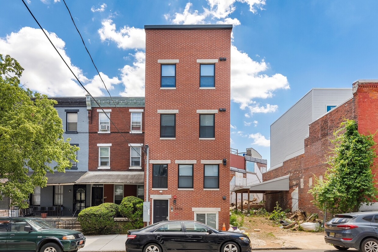
3936 Haverford Ave
Philadelphia, PA 19104


