
$2,100
/ Month
199 Gelston Ave Unit A1
Brooklyn, NY 11209
2 Weeks Ago
|
Edit
Favorites
GELSTON AVENUE

Favorites
Check Back Soon for Upcoming Availability
| Beds | Baths | Average SF |
|---|---|---|
| 3 Bedrooms 3 Bedrooms 3 Br | 1 Bath 1 Bath 1 Ba | — |
About This Property
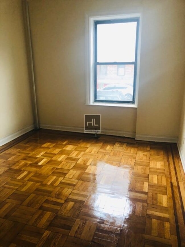
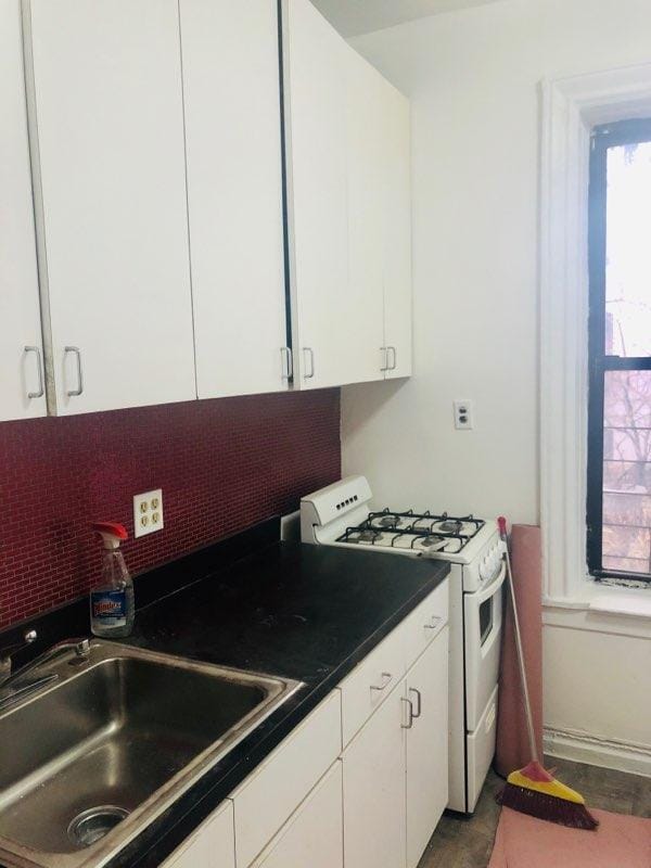
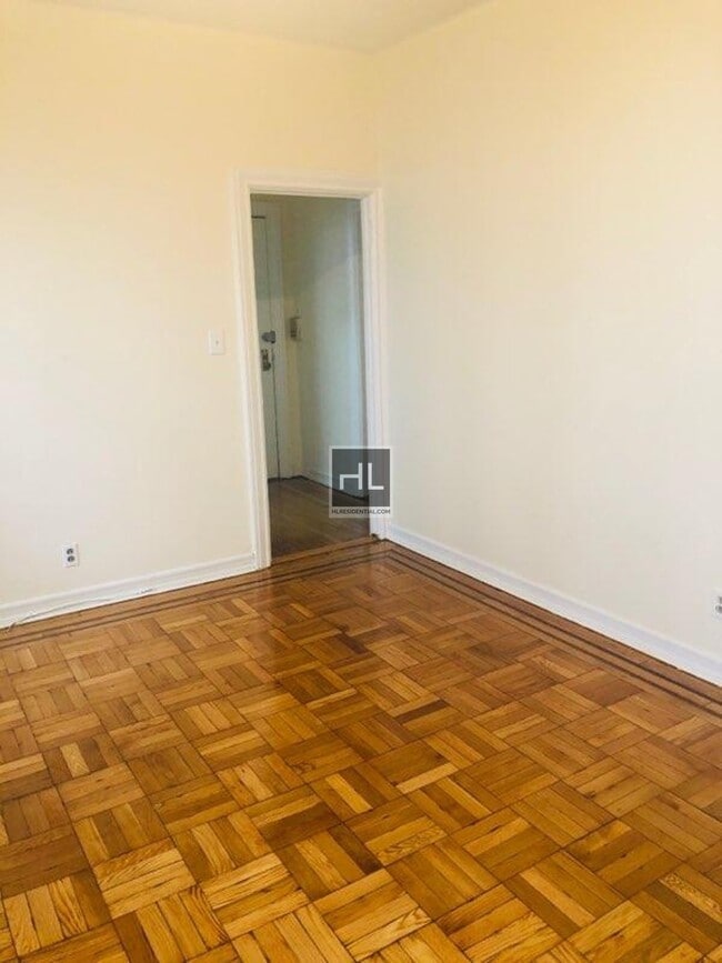
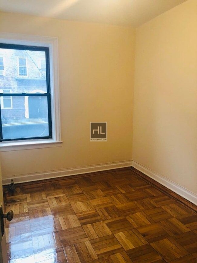
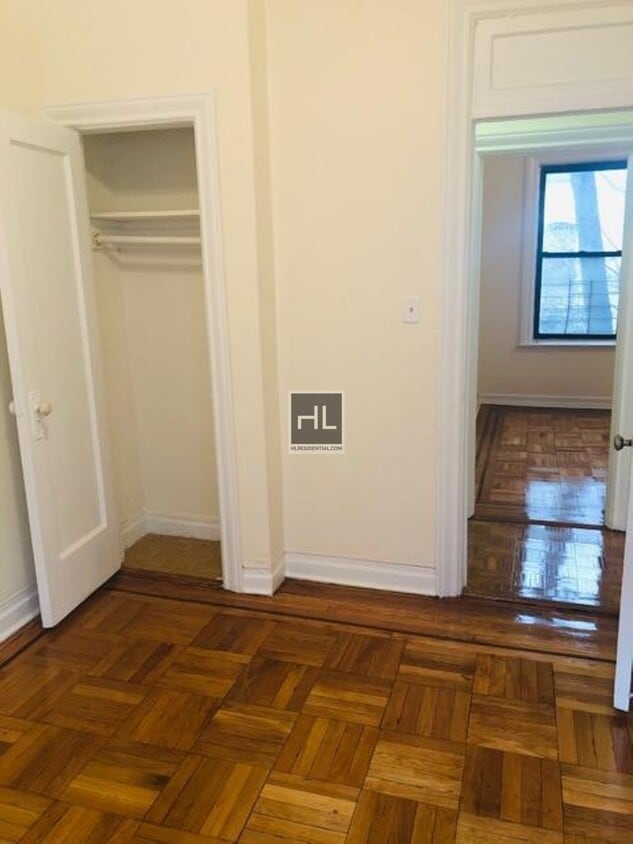
3BR freshly painted painted now, kitchen and full bath living room in immaculate apartment building building.. Apt takes is on 1st Floor front. Nearest train R-Train, 94th St and 4th Ave St Station===Ref:666956===
GELSTON AVENUE is an apartment community located in Kings County and the 11209 ZIP Code.
199 Gelston Ave,
Brooklyn,
NY
11209
Bay Ridge’s name can be taken quite literally, seeing as the neighborhood is situated on the ridge of New York’s Upper Bay in the bustling borough of Brooklyn. This urban, coastal oasis is known for its picturesque residential streets and slight seclusion from big city living.
Though Bay Ridge is an urban neighborhood, many residents applaud this coastal town for its ability to offer a suburban vibe and family-friendly atmosphere amidst its New York City location. Apartments, houses, condos, and townhomes range from cozy to luxury, so there’s something for everyone in this welcoming community.
Towering trees line the residential and commercial streets of Bay Ridge, giving it a park-like feel. And speaking of parks, this neighborhood’s entire coastline is covered by community parks featuring waterfront lawns, tall trees, and recreational amenities.
Learn more about living in Bay RidgeBelow are rent ranges for similar nearby apartments
Education
| Colleges & Universities | Distance | ||
|---|---|---|---|
| Colleges & Universities | Distance | ||
| Drive: | 12 min | 5.0 mi | |
| Drive: | 16 min | 6.1 mi | |
| Drive: | 13 min | 7.2 mi | |
| Drive: | 15 min | 7.4 mi |
GELSTON AVENUE is within 12 minutes or 5.0 miles from Wagner College. It is also near Brooklyn College and Medgar Evers College, CUNY.
Transportation options available in Brooklyn include Bay Ridge-95 Street, located 0.1 mile from GELSTON AVENUE. GELSTON AVENUE is near Newark Liberty International, located 19.4 miles or 30 minutes away, and John F Kennedy International, located 20.0 miles or 28 minutes away.
| Transit / Subway | Distance | ||
|---|---|---|---|
| Transit / Subway | Distance | ||
|
|
Walk: | 2 min | 0.1 mi |
|
|
Walk: | 10 min | 0.5 mi |
|
|
Walk: | 19 min | 1.0 mi |
|
|
Drive: | 3 min | 1.5 mi |
|
|
Drive: | 6 min | 2.4 mi |
| Commuter Rail | Distance | ||
|---|---|---|---|
| Commuter Rail | Distance | ||
|
|
Drive: | 9 min | 4.3 mi |
|
|
Drive: | 9 min | 4.7 mi |
|
|
Drive: | 12 min | 5.4 mi |
|
|
Drive: | 14 min | 6.0 mi |
|
|
Drive: | 16 min | 6.6 mi |
| Airports | Distance | ||
|---|---|---|---|
| Airports | Distance | ||
|
Newark Liberty International
|
Drive: | 30 min | 19.4 mi |
|
John F Kennedy International
|
Drive: | 28 min | 20.0 mi |
Walkability Near GELSTON AVENUE
Getting Around
 What do Walkability, Transit, Drivability, and Bikeability mean?
Walkability measures the walking distance to day-to-day needs.
Transit measures access to public transportation.
Drivability measures congestion, parking availability, and access to major roads.
Bikeability measures the suitability for cycling.
How It Works
What do Walkability, Transit, Drivability, and Bikeability mean?
Walkability measures the walking distance to day-to-day needs.
Transit measures access to public transportation.
Drivability measures congestion, parking availability, and access to major roads.
Bikeability measures the suitability for cycling.
How It Works
Exceptionally Walkable
Walkability
100
/ 100
Exceptional Public Transit
Transit
100
/ 100
Fairly Drivable
Drivability
40
/ 100
Moderately Bikeable
Bikeability
60
/ 100
Scores provided by
Busy
Soundscore™
62
/ 100
Traffic
BusyAirport
CalmBusinesses
BusyScores provided by
HowLoud What is a Sound Score Rating? A Sound Score Rating aggregates noise caused by vehicle traffic, airplane traffic and local sources. How It WorksTime and distance from GELSTON AVENUE.
| Shopping Centers | Distance | ||
|---|---|---|---|
| Shopping Centers | Distance | ||
| Walk: | 8 min | 0.4 mi | |
| Drive: | 4 min | 1.7 mi | |
| Drive: | 7 min | 2.6 mi |
GELSTON AVENUE has 3 shopping centers within 2.6 miles, which is about a 7-minute drive. The miles and minutes will be for the farthest away property.
| Parks and Recreation | Distance | ||
|---|---|---|---|
| Parks and Recreation | Distance | ||
|
Dyker Beach Park
|
Walk: | 19 min | 1.0 mi |
|
Narrows Botanical Gardens
|
Drive: | 5 min | 2.5 mi |
|
Owl's Head Park
|
Drive: | 6 min | 2.9 mi |
|
Gateway NRA - Staten Island Unit -Fort Wadsworth
|
Drive: | 7 min | 3.4 mi |
|
Alice Austen Park
|
Drive: | 9 min | 4.4 mi |
GELSTON AVENUE has 5 parks within 4.4 miles, including Dyker Beach Park, Narrows Botanical Gardens, and Owl's Head Park.
| Hospitals | Distance | ||
|---|---|---|---|
| Hospitals | Distance | ||
| Drive: | 7 min | 2.7 mi | |
| Drive: | 9 min | 5.2 mi | |
| Drive: | 12 min | 6.2 mi |
GELSTON AVENUE has 3 hospitals within 6.2 miles, the nearest is Maimonides Medical Center which is 2.7 miles away and a 7 minute drive.
| Military Bases | Distance | ||
|---|---|---|---|
| Military Bases | Distance | ||
| Walk: | 16 min | 0.8 mi | |
| Drive: | 12 min | 5.5 mi |
GELSTON AVENUE is 0.8 mile from Fort Hamilton, and is convenient to other military bases, including Naval Station NY Stapleton Site.
You May Also Like
Similar Rentals Nearby


What Are Walk Score®, Transit Score®, and Bike Score® Ratings?
Walk Score® measures the walkability of any address. Transit Score® measures access to public transit. Bike Score® measures the bikeability of any address.
What is a Sound Score Rating?
A Sound Score Rating aggregates noise caused by vehicle traffic, airplane traffic and local sources.
199 Gelston Ave
Brooklyn, NY 11209