
$2,762 / Month
4439 Furman Ave Unit 5
The Bronx, NY 10466
2 Weeks Ago
Favorites
FURMAN AVENUE

Favorites
Check Back Soon for Upcoming Availability
| Beds | Baths | Average SF |
|---|---|---|
| 2 Bedrooms 2 Bedrooms 2 Br | 1 Bath 1 Bath 1 Ba | — |
About This Property
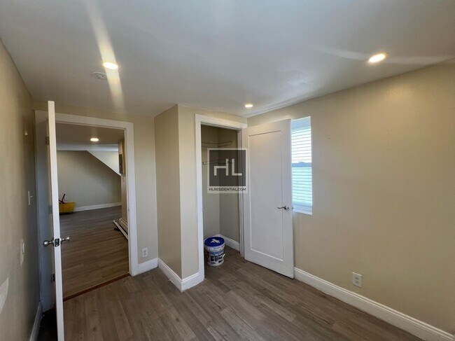
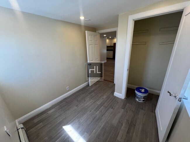
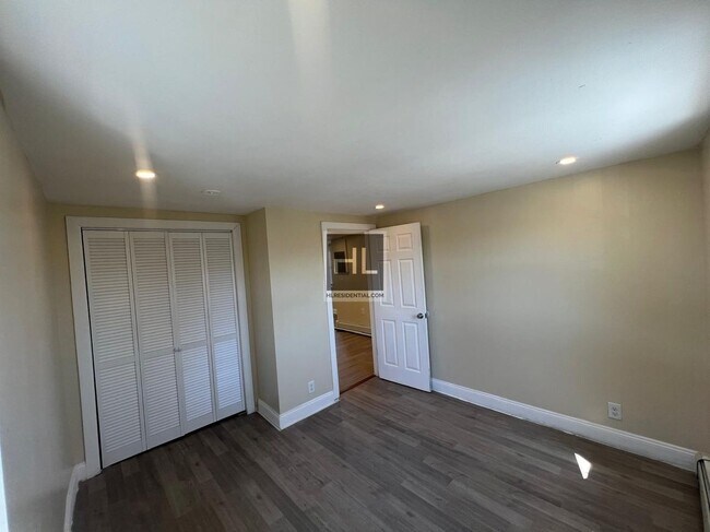
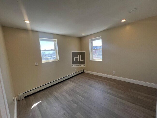
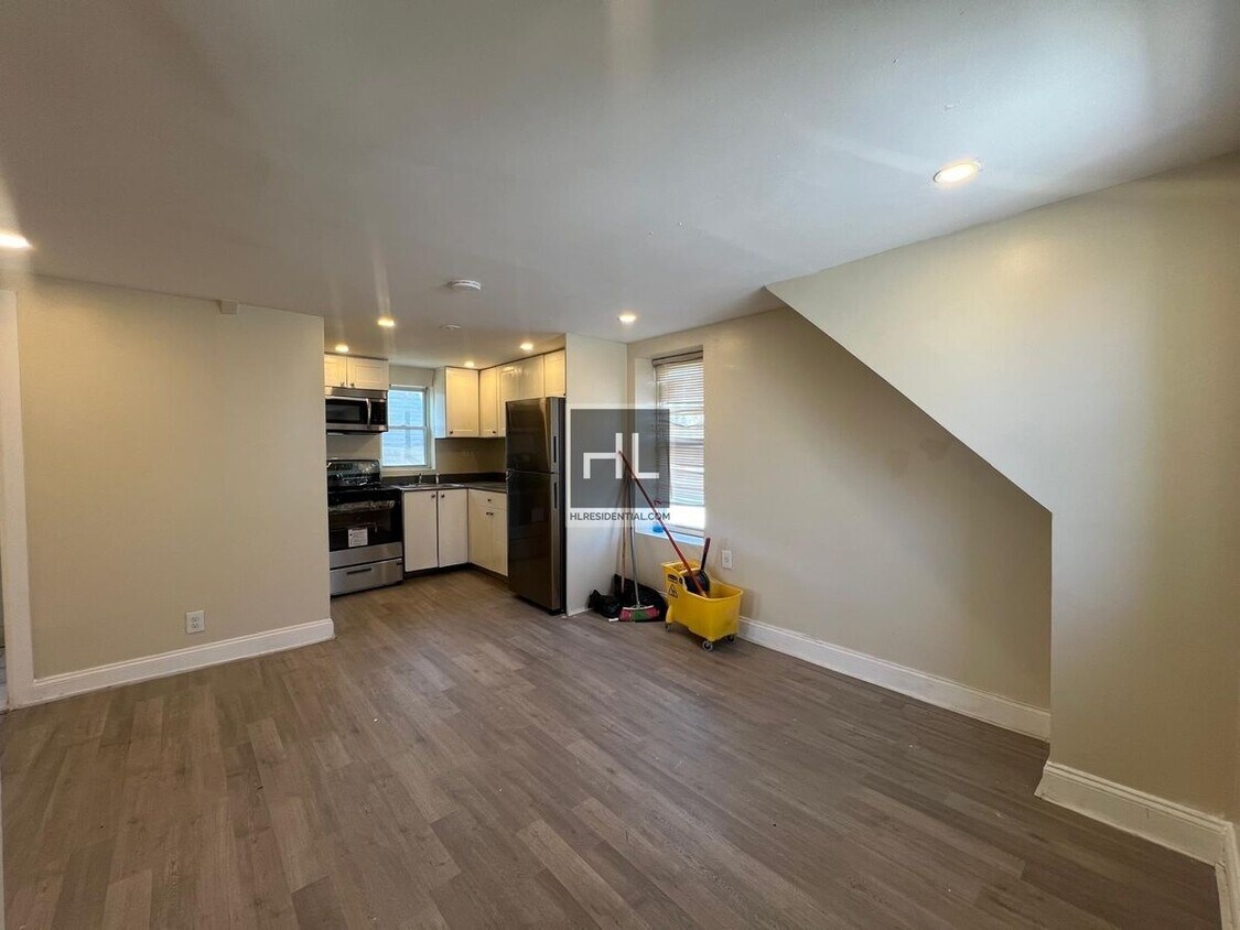
Amazing location! Email or text for faster response 2 bedroom unit in the heart of the Bronx, 3 flights up! Less than 5 minutes away from the 2 train at Nereid Avenue Quiet residential neighborhood, close to Van Cortlandt park Tenant pays all utilities This apartment will not last! ===Ref:1871571===
FURMAN AVENUE is an apartment community located in Bronx County and the 10466 ZIP Code.
Location
Get Directions
Wakefield is an urban neighborhood in the eastern section of the Bronx accessible to Manhattan through Interstate 87 or by hopping on one of the many public transit stations in the neighborhood. Wakefield is bounded by the Bronx River to the west, so many parks and trails that lead into the New York Botanical Garden are available to residents. The neighborhood itself consists of residential areas with apartments and condos in long-standing brick buildings as well as quaint rowhomes that make up the rental scene. Along with residences, this compact area is filled with a variety of restaurants serving everything from international cuisine to New York classics, and a range of shops and businesses provide Wakefield residents with the essentials. Other great features in the neighborhood include a community garden, green spaces, and a few schools.
Learn more about living in WakefieldBelow are rent ranges for similar nearby apartments
Education
| Colleges & Universities | Distance | ||
|---|---|---|---|
| Colleges & Universities | Distance | ||
| Drive: | 8 min | 3.3 mi | |
| Drive: | 7 min | 3.9 mi | |
| Drive: | 8 min | 3.9 mi | |
| Drive: | 9 min | 4.1 mi |
FURMAN AVENUE is within 8 minutes or 3.3 miles from Sarah Lawrence College. It is also near Lehman College and Manhattan College.
Transportation options available in The Bronx include Nereid Avenue, located 0.1 mile from FURMAN AVENUE. FURMAN AVENUE is near Laguardia, located 13.6 miles or 25 minutes away, and Westchester County, located 18.4 miles or 28 minutes away.
| Transit / Subway | Distance | ||
|---|---|---|---|
| Transit / Subway | Distance | ||
|
|
Walk: | 2 min | 0.1 mi |
|
|
Walk: | 6 min | 0.4 mi |
|
|
Walk: | 9 min | 0.5 mi |
|
|
Walk: | 18 min | 0.9 mi |
|
|
Drive: | 4 min | 1.6 mi |
| Commuter Rail | Distance | ||
|---|---|---|---|
| Commuter Rail | Distance | ||
|
|
Walk: | 18 min | 1.0 mi |
|
|
Drive: | 3 min | 1.7 mi |
|
|
Drive: | 4 min | 1.9 mi |
|
|
Drive: | 4 min | 2.1 mi |
|
|
Drive: | 5 min | 2.4 mi |
| Airports | Distance | ||
|---|---|---|---|
| Airports | Distance | ||
|
Laguardia
|
Drive: | 25 min | 13.6 mi |
|
Westchester County
|
Drive: | 28 min | 18.4 mi |
Time and distance from FURMAN AVENUE.
| Shopping Centers | Distance | ||
|---|---|---|---|
| Shopping Centers | Distance | ||
| Drive: | 3 min | 1.6 mi | |
| Drive: | 4 min | 1.6 mi | |
| Drive: | 5 min | 2.2 mi |
FURMAN AVENUE has 3 shopping centers within 2.2 miles, which is about a 5-minute drive. The miles and minutes will be for the farthest away property.
| Parks and Recreation | Distance | ||
|---|---|---|---|
| Parks and Recreation | Distance | ||
|
Seton Falls Park
|
Drive: | 3 min | 1.4 mi |
|
Williamsbridge Oval
|
Drive: | 6 min | 2.7 mi |
|
Van Cortlandt Park
|
Drive: | 6 min | 4.0 mi |
|
New York Botanical Garden
|
Drive: | 12 min | 4.2 mi |
|
Bronx Park
|
Drive: | 10 min | 4.3 mi |
FURMAN AVENUE has 5 parks within 4.3 miles, including Seton Falls Park, Van Cortlandt Park, and Williamsbridge Oval.
| Hospitals | Distance | ||
|---|---|---|---|
| Hospitals | Distance | ||
| Drive: | 3 min | 1.4 mi | |
| Drive: | 5 min | 2.7 mi | |
| Drive: | 9 min | 4.5 mi |
FURMAN AVENUE has 3 hospitals within 4.5 miles, the nearest is Montefiore Mount Vernon Hospital which is 1.4 miles away and a 3 minute drive.
| Military Bases | Distance | ||
|---|---|---|---|
| Military Bases | Distance | ||
| Drive: | 21 min | 11.6 mi |
FURMAN AVENUE is 11.6 miles and a 21 minute drive from Fort Totten US Govt Reservation.
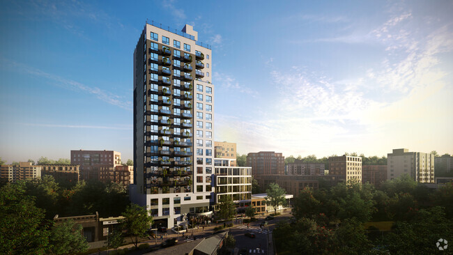
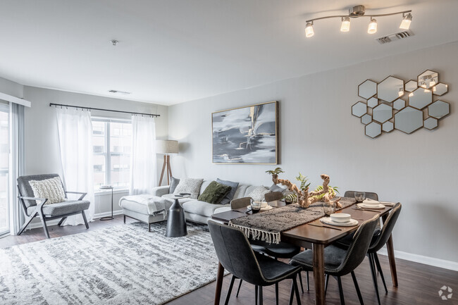
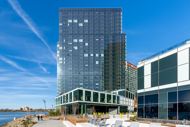
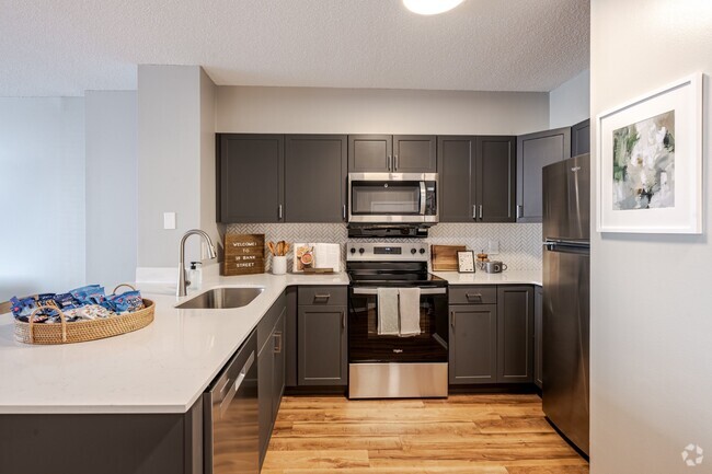
You May Also Like
Similar Rentals Nearby


What Are Walk Score®, Transit Score®, and Bike Score® Ratings?
Walk Score® measures the walkability of any address. Transit Score® measures access to public transit. Bike Score® measures the bikeability of any address.
What is a Sound Score Rating?
A Sound Score Rating aggregates noise caused by vehicle traffic, airplane traffic and local sources
4439 Furman Ave
The Bronx, NY 10466