
Mt. Scott Commons
11299 SE Stevens Rd,
Happy Valley, OR 97086
$1,650 - $1,700
2 Beds

Bedrooms
2 bd
Bathrooms
2 ba
Square Feet
916 - 1,030 sq ft
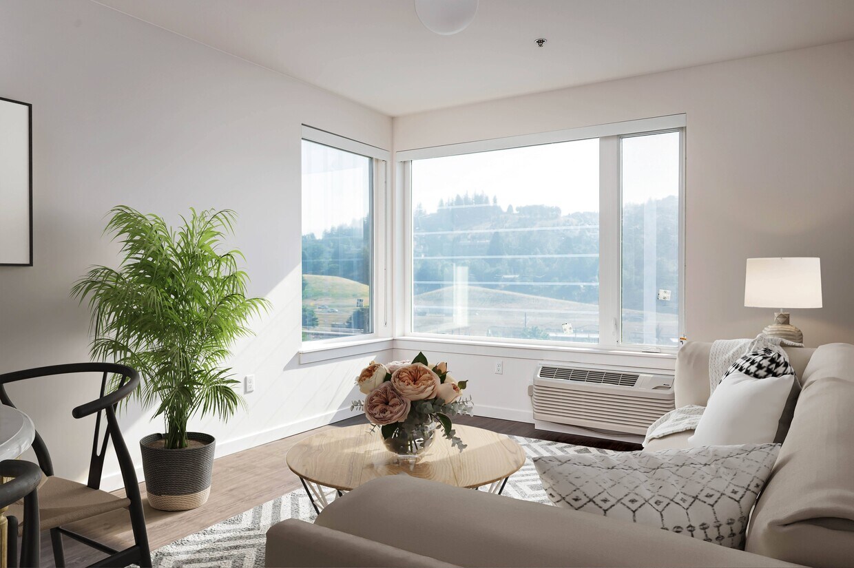
Fuller Station Apartments is your new affordable home in Clackamas County. Bringing 100 units of affordable housing, Fuller Station is directly adjacent to the MAX Green Line and close to it all. The six-story building offers a mix of one-, two-, and three-bedroom homes. Residents will enjoy community rooms, open-air nature playgrounds, community gardens, on-site parking, secure bike storage, excellent public transit, and space available to local community groups for on-site services. Income requirements apply. Contact our team for full details.
Fuller Station is an apartment community located in Clackamas County and the 97086 ZIP Code. This area is served by the North Clackamas School District 12 attendance zone.
Unique Features
Laundry Facilities
Playground
Bicycle Storage
Walking/Biking Trails
Air Conditioning
Dishwasher
Refrigerator
Disposal
Can’t find the right apartment at the right price in Downtown Portland? Welcome to the cozy neighborhood of Southgate, situated just ten miles southeast from Downtown. With quaint single-family homes and modern apartments, this neighborhood boasts plenty of housing options.
Southgate is the perfect compromise between location and price. Though it’s more affordable than neighborhoods closer to Downtown, it’s still recognized as a relatively upscale neighborhood with a peaceful atmosphere, welcoming community, and close proximity to Oregon’s bustling metropolis.
Southgate is your one-stop-shop for everything retail. Clackamas Town Center has retailers, restaurants, and entertainment galore, while Clackamas Promenade is one of the many outdoor shopping centers around town. Prominent shopping and dining options define this neighborhood.
Learn more about living in Southgate| Colleges & Universities | Distance | ||
|---|---|---|---|
| Colleges & Universities | Distance | ||
| Drive: | 4 min | 2.0 mi | |
| Drive: | 13 min | 4.7 mi | |
| Drive: | 11 min | 5.2 mi | |
| Drive: | 20 min | 8.2 mi |


Transportation options available in Happy Valley include Se Fuller Road, located 0.2 mile from Fuller Station. Fuller Station is near Portland International, located 11.8 miles or 19 minutes away.
| Transit / Subway | Distance | ||
|---|---|---|---|
| Transit / Subway | Distance | ||
|
|
Walk: | 4 min | 0.2 mi |
|
|
Drive: | 5 min | 2.3 mi |
|
|
Drive: | 6 min | 3.3 mi |
|
|
Drive: | 8 min | 4.6 mi |
|
|
Drive: | 9 min | 5.4 mi |
| Commuter Rail | Distance | ||
|---|---|---|---|
| Commuter Rail | Distance | ||
|
|
Drive: | 12 min | 7.0 mi |
|
|
Drive: | 31 min | 12.5 mi |
|
|
Drive: | 31 min | 12.5 mi |
|
|
Drive: | 21 min | 13.0 mi |
|
|
Drive: | 24 min | 17.0 mi |
| Airports | Distance | ||
|---|---|---|---|
| Airports | Distance | ||
|
Portland International
|
Drive: | 19 min | 11.8 mi |
Time and distance from Fuller Station.
| Shopping Centers | Distance | ||
|---|---|---|---|
| Shopping Centers | Distance | ||
| Walk: | 3 min | 0.2 mi | |
| Walk: | 5 min | 0.3 mi | |
| Walk: | 8 min | 0.5 mi |
| Parks and Recreation | Distance | ||
|---|---|---|---|
| Parks and Recreation | Distance | ||
|
Mount Talbert Nature Park
|
Drive: | 6 min | 2.8 mi |
|
Brentwood Park
|
Drive: | 7 min | 2.8 mi |
|
Beggars-Tick Wildlife Refuge
|
Drive: | 7 min | 3.2 mi |
|
Lents Park
|
Drive: | 7 min | 3.2 mi |
|
Zenger Farm
|
Drive: | 7 min | 3.4 mi |
| Hospitals | Distance | ||
|---|---|---|---|
| Hospitals | Distance | ||
| Drive: | 4 min | 2.1 mi | |
| Drive: | 7 min | 3.6 mi | |
| Drive: | 9 min | 4.9 mi |
| Military Bases | Distance | ||
|---|---|---|---|
| Military Bases | Distance | ||
| Drive: | 19 min | 11.1 mi | |
| Drive: | 43 min | 25.8 mi |
What Are Walk Score®, Transit Score®, and Bike Score® Ratings?
Walk Score® measures the walkability of any address. Transit Score® measures access to public transit. Bike Score® measures the bikeability of any address.
What is a Sound Score Rating?
A Sound Score Rating aggregates noise caused by vehicle traffic, airplane traffic and local sources
9730 SE Fuller Rd
Happy Valley, OR 97086


