
Current At The Banks
121 E Freedom Way,
Cincinnati, OH 45202
$1,118 - $4,084
Studio - 2 Beds
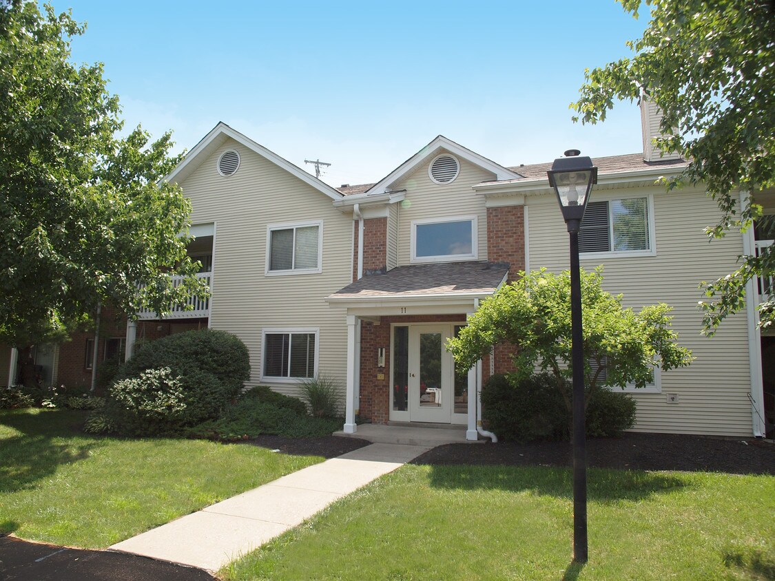
Discover your new rental in Newport, KY. This property is situated at 1 Fox Chase Dr in Newport. With this great space, you're home. Reach out to learn more about this great rental.
Fox Chase South is an apartment community located in Campbell County and the 41071 ZIP Code. This area is served by the Campbell County attendance zone.
Pool
Fitness Center
Laundry Facilities
Furnished Units Available
Washer/Dryer
Air Conditioning
Dishwasher
Washer/Dryer Hookup
Northern Kentucky is a sprawling region located just south of Cincinnati, Ohio. The Ohio River hugs the northern, eastern, and western portions of the region, serving as a scenic destination for all kinds of outdoor recreation throughout the year. Florence, Dayton, Newport, Covington, Burlington, and Highland Heights are among the many communities included in the Northern Kentucky region.
Each community in Northern Kentucky offers its own unique identity and sense of character. The rentals in the area are just as diverse as Northern Kentucky itself, ranging from luxury apartments to charming houses and everything in between. Getting around the region is a breeze with convenience to Interstates 71, 75, 275, and 471.
Learn more about living in Northern Kentucky| Colleges & Universities | Distance | ||
|---|---|---|---|
| Colleges & Universities | Distance | ||
| Drive: | 8 min | 4.1 mi | |
| Drive: | 13 min | 7.3 mi | |
| Drive: | 13 min | 7.4 mi | |
| Drive: | 15 min | 9.3 mi |


Transportation options available in Newport include Richter & Phillips Station - 6Th & Main, located 5.2 miles from Fox Chase South. Fox Chase South is near Cincinnati/Northern Kentucky International, located 15.2 miles or 28 minutes away.
| Transit / Subway | Distance | ||
|---|---|---|---|
| Transit / Subway | Distance | ||
| Drive: | 9 min | 5.2 mi | |
| Drive: | 9 min | 5.3 mi | |
| Drive: | 10 min | 5.4 mi | |
| Drive: | 9 min | 5.4 mi | |
| Drive: | 10 min | 5.5 mi |
| Commuter Rail | Distance | ||
|---|---|---|---|
| Commuter Rail | Distance | ||
|
|
Drive: | 14 min | 7.4 mi |
| Airports | Distance | ||
|---|---|---|---|
| Airports | Distance | ||
|
Cincinnati/Northern Kentucky International
|
Drive: | 28 min | 15.2 mi |
Scores provided by
Traffic
-Airport
-Businesses
-Scores provided by
HowLoud What is a Sound Score Rating? A Sound Score Rating aggregates noise caused by vehicle traffic, airplane traffic and local sources. How It WorksTime and distance from Fox Chase South.
| Shopping Centers | Distance | ||
|---|---|---|---|
| Shopping Centers | Distance | ||
| Walk: | 17 min | 0.9 mi | |
| Drive: | 3 min | 1.3 mi | |
| Drive: | 6 min | 2.2 mi |
| Parks and Recreation | Distance | ||
|---|---|---|---|
| Parks and Recreation | Distance | ||
|
Newport Aquarium
|
Drive: | 10 min | 4.6 mi |
|
Theodore M. Berry Friendship Park
|
Drive: | 9 min | 5.5 mi |
|
Krohn Conservatory
|
Drive: | 9 min | 5.5 mi |
|
John G. & Phyllis W. Smale Riverfront Park
|
Drive: | 10 min | 6.0 mi |
|
California Woods Nature Preserve
|
Drive: | 12 min | 6.3 mi |
| Hospitals | Distance | ||
|---|---|---|---|
| Hospitals | Distance | ||
| Drive: | 4 min | 1.7 mi | |
| Drive: | 11 min | 6.5 mi | |
| Drive: | 12 min | 7.0 mi |
| Military Bases | Distance | ||
|---|---|---|---|
| Military Bases | Distance | ||
| Drive: | 80 min | 58.0 mi | |
| Drive: | 86 min | 63.0 mi | |
| Drive: | 88 min | 66.3 mi |
What Are Walk Score®, Transit Score®, and Bike Score® Ratings?
Walk Score® measures the walkability of any address. Transit Score® measures access to public transit. Bike Score® measures the bikeability of any address.
What is a Sound Score Rating?
A Sound Score Rating aggregates noise caused by vehicle traffic, airplane traffic and local sources.
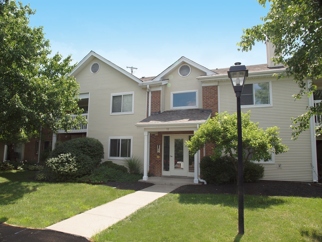
1 Fox Chase Dr
Newport, KY 41071


