
Wellington Place
8770 Wales Dr,
Cincinnati, OH 45249
$1,695 - $1,945
1-2 Beds

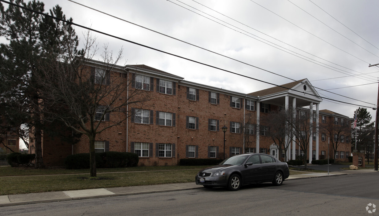
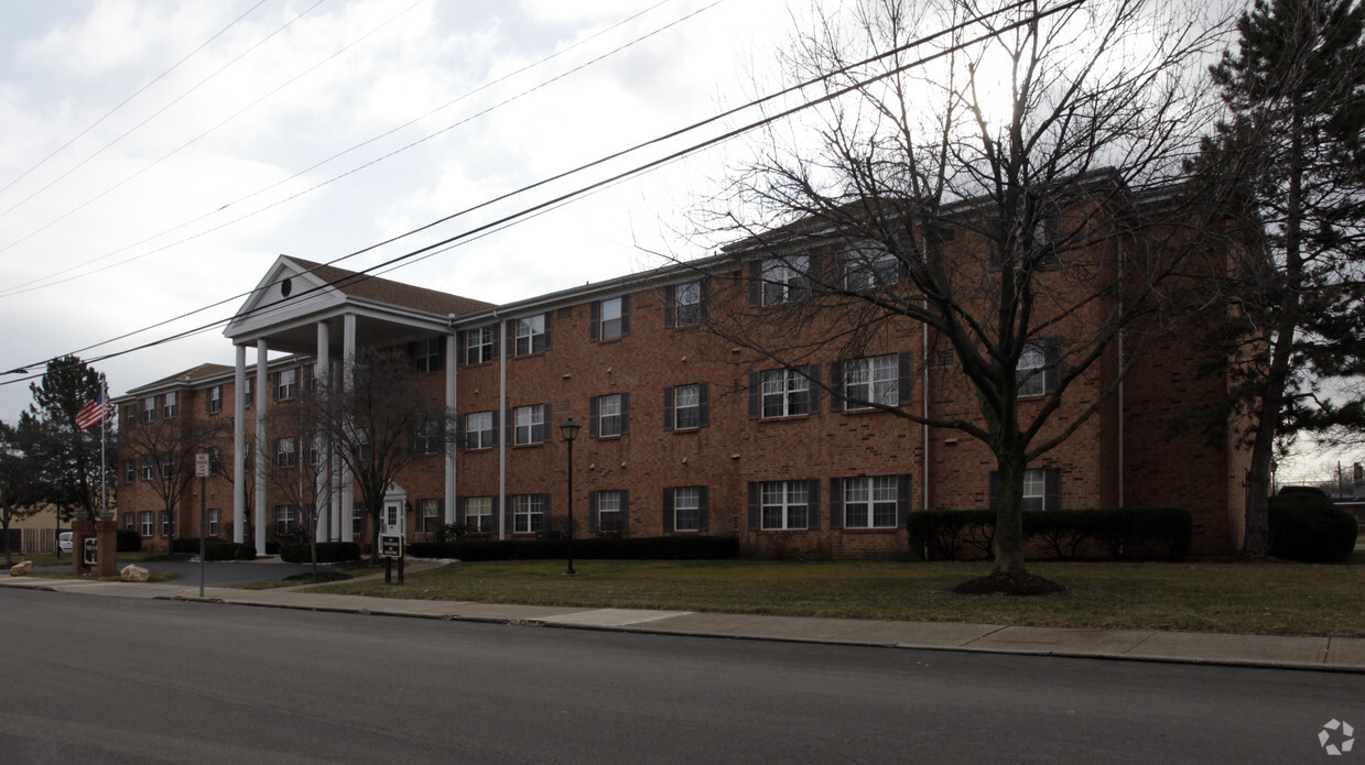
Find your new apartment at Find-A-Way I in Cincinnati, OH. This property is situated in the Oakley area of Cincinnati. The leasing team is ready to show off our wonderful community. Come see Find-A-Way I today.
Find-A-Way I is an apartment community located in Hamilton County and the 45209 ZIP Code. This area is served by the Cincinnati Public Schools attendance zone.
As one of the oldest cities in the United States west of the Appalachians, Cincinnati offers residents contemporary urban living in a historic, distinctive setting. One of the oldest cities in the US houses an influential youth culture. Students, professionals, artists, and musicians of all walks of life come to the southwest corner of Ohio to live and work. College and professional sports are wildly popular, with the Bearcats of the University of Cincinnati, the Reds, and the Bengals enjoying huge fan bases in their hometown.
Renters and visitors alike will delight in attractions like the Cincinnati Art Museum, the Newport Aquarium, and the city’s iconic zoo. The annual Oktoberfest is one of the biggest celebrations of its kind outside of Munich, drawing thousands to the streets to celebrate the city’s German heritage.
Learn more about living in Cincinnati| Colleges & Universities | Distance | ||
|---|---|---|---|
| Colleges & Universities | Distance | ||
| Drive: | 8 min | 3.0 mi | |
| Drive: | 10 min | 4.8 mi | |
| Drive: | 10 min | 4.9 mi | |
| Drive: | 17 min | 7.6 mi |


Transportation options available in Cincinnati include Hanke Exchange Station, 12Th & Main, located 6.1 miles from Find-A-Way I. Find-A-Way I is near Cincinnati/Northern Kentucky International, located 20.7 miles or 37 minutes away.
| Transit / Subway | Distance | ||
|---|---|---|---|
| Transit / Subway | Distance | ||
| Drive: | 11 min | 6.1 mi | |
| Drive: | 12 min | 6.4 mi | |
| Drive: | 12 min | 6.4 mi | |
| Drive: | 13 min | 6.8 mi | |
| Drive: | 13 min | 6.8 mi |
| Commuter Rail | Distance | ||
|---|---|---|---|
| Commuter Rail | Distance | ||
|
|
Drive: | 16 min | 8.7 mi |
| Airports | Distance | ||
|---|---|---|---|
| Airports | Distance | ||
|
Cincinnati/Northern Kentucky International
|
Drive: | 37 min | 20.7 mi |
Time and distance from Find-A-Way I.
| Shopping Centers | Distance | ||
|---|---|---|---|
| Shopping Centers | Distance | ||
| Walk: | 7 min | 0.4 mi | |
| Walk: | 14 min | 0.7 mi | |
| Drive: | 4 min | 1.1 mi |
| Parks and Recreation | Distance | ||
|---|---|---|---|
| Parks and Recreation | Distance | ||
|
Ault Park
|
Drive: | 6 min | 2.2 mi |
|
Cincinnati Observatory
|
Drive: | 6 min | 2.2 mi |
|
Avon Woods Natural Area/Preserve
|
Drive: | 9 min | 3.3 mi |
|
French Park
|
Drive: | 9 min | 3.5 mi |
|
Otto Armleder Park
|
Drive: | 12 min | 4.8 mi |
| Hospitals | Distance | ||
|---|---|---|---|
| Hospitals | Distance | ||
| Drive: | 6 min | 2.3 mi | |
| Drive: | 9 min | 4.5 mi | |
| Drive: | 9 min | 4.7 mi |
| Military Bases | Distance | ||
|---|---|---|---|
| Military Bases | Distance | ||
| Drive: | 69 min | 51.6 mi | |
| Drive: | 76 min | 56.7 mi | |
| Drive: | 78 min | 60.0 mi |
What Are Walk Score®, Transit Score®, and Bike Score® Ratings?
Walk Score® measures the walkability of any address. Transit Score® measures access to public transit. Bike Score® measures the bikeability of any address.
What is a Sound Score Rating?
A Sound Score Rating aggregates noise caused by vehicle traffic, airplane traffic and local sources
3027 Minot Ave
Cincinnati, OH 45209


