
Ellwood at Lake Travis
7655 N Ranch Road 620,
Austin, TX 78726
1-3 Beds $1,010 - $3,630
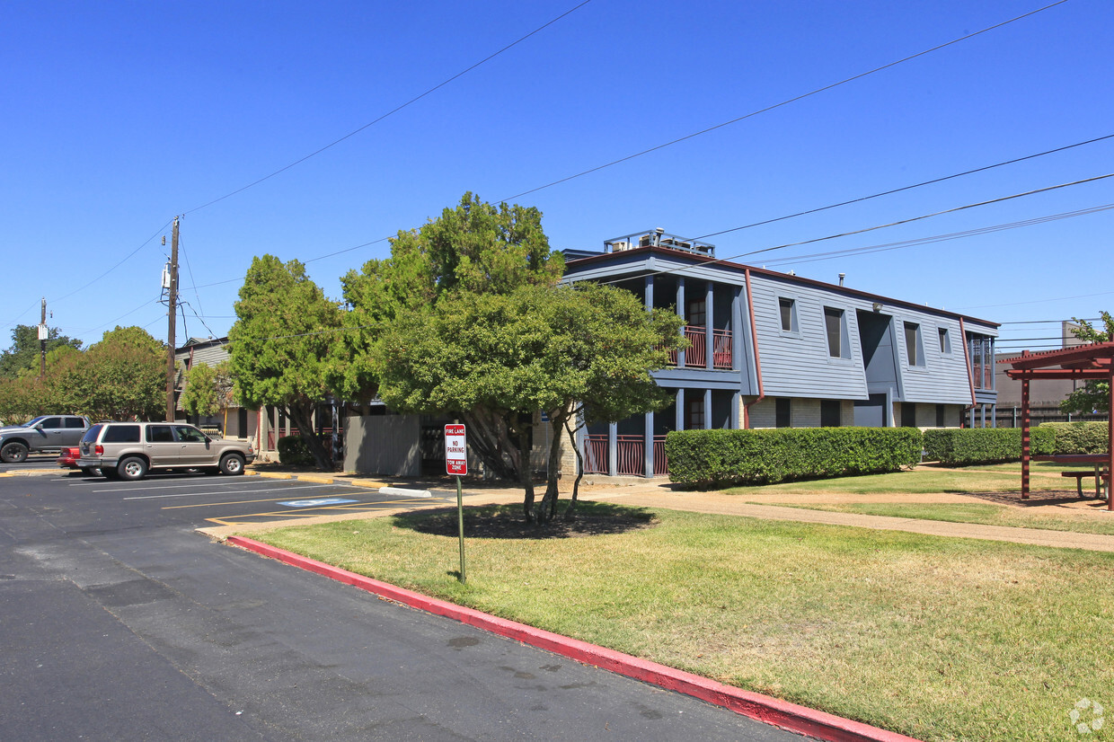
At Crossroads, you've discovered your new place. The premium Mccann Dr. setting in the 78757 area of Austin makes a popular place for those looking for a new home. Be sure to come for a visit to check out the current floorplan options. Crossroads offers a variety of available amenities including: tile floors, double vanities, and dining rooms. Drop by the leasing office to ask about the current floorplan availability.
Crossroads is an apartment community located in Travis County and the 78757 ZIP Code. This area is served by the Austin Independent attendance zone.
Fitness Center
Laundry Facilities
Grill
Picnic Area
Air Conditioning
Dishwasher
High Speed Internet Access
Walk-In Closets
Refrigerator
Tub/Shower
Disposal
Patio
If you follow the Mopac Expressway north from Austin until it intersects with Highway 183, you’ll find the North Shoal Creek neighborhood. The intersection of these major roadways form the neighborhood’s north boundary, providing easy commutes for residents. Those who prefer mass transit will find ample bus service, and those who want to ride their bike to work or walk can make use of the neighborhood’s plentiful sidewalks and bike lanes. Students will find the University of Texas at Austin just six miles south, and Downtown Austin is eight miles south.
North Shoal Creek is a popular option for renters. The neighborhood provides an urban atmosphere and a variety of restaurants, bars, and coffee shops. Those with children also prefer North Shoal Creek for its top-rated school system. There’s one park in the neighborhood, Pillow School Park, but several others are located nearby. Residents shop at Village Shopping Center, which is also home to the Alamo Draftouse Cinema Village.
Learn more about living in North Shoal Creek| Colleges & Universities | Distance | ||
|---|---|---|---|
| Colleges & Universities | Distance | ||
| Drive: | 8 min | 3.4 mi | |
| Drive: | 12 min | 7.6 mi | |
| Drive: | 13 min | 9.1 mi | |
| Drive: | 21 min | 12.8 mi |


Transportation options available in Austin include Kramer Station, located 2.1 miles from Crossroads. Crossroads is near Austin-Bergstrom International, located 19.2 miles or 29 minutes away.
| Transit / Subway | Distance | ||
|---|---|---|---|
| Transit / Subway | Distance | ||
| Drive: | 5 min | 2.1 mi | |
| Drive: | 6 min | 2.2 mi | |
| Drive: | 6 min | 3.0 mi | |
| Drive: | 7 min | 3.7 mi | |
| Drive: | 10 min | 6.4 mi |
| Commuter Rail | Distance | ||
|---|---|---|---|
| Commuter Rail | Distance | ||
|
|
Drive: | 15 min | 9.8 mi |
|
|
Drive: | 39 min | 30.4 mi |
| Airports | Distance | ||
|---|---|---|---|
| Airports | Distance | ||
|
Austin-Bergstrom International
|
Drive: | 29 min | 19.2 mi |
Time and distance from Crossroads.
| Shopping Centers | Distance | ||
|---|---|---|---|
| Shopping Centers | Distance | ||
| Walk: | 3 min | 0.2 mi | |
| Walk: | 7 min | 0.4 mi | |
| Walk: | 8 min | 0.4 mi |
| Parks and Recreation | Distance | ||
|---|---|---|---|
| Parks and Recreation | Distance | ||
|
The Stephen F. Austin Planetarium
|
Drive: | 6 min | 2.5 mi |
|
Beverly S. Sheffield Northwest District Park
|
Drive: | 7 min | 2.6 mi |
|
Balcones District Park
|
Drive: | 7 min | 3.4 mi |
|
Bull Creek Greenbelt
|
Drive: | 7 min | 3.6 mi |
|
Walnut Creek Park
|
Drive: | 10 min | 5.2 mi |
| Hospitals | Distance | ||
|---|---|---|---|
| Hospitals | Distance | ||
| Drive: | 5 min | 2.9 mi | |
| Drive: | 6 min | 3.2 mi | |
| Drive: | 7 min | 3.3 mi |
| Military Bases | Distance | ||
|---|---|---|---|
| Military Bases | Distance | ||
| Drive: | 86 min | 68.5 mi | |
| Drive: | 90 min | 74.4 mi |
What Are Walk Score®, Transit Score®, and Bike Score® Ratings?
Walk Score® measures the walkability of any address. Transit Score® measures access to public transit. Bike Score® measures the bikeability of any address.
What is a Sound Score Rating?
A Sound Score Rating aggregates noise caused by vehicle traffic, airplane traffic and local sources

8801 Mccann Dr
Austin, TX 78757


