
The Hiatus
3800 Park East Dr,
Beachwood, OH 44122
$1,299 - $2,899 Total Monthly Price
Studio - 2 Beds
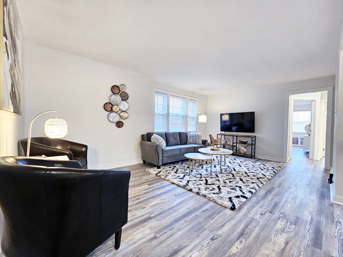
The beautiful and historic Colony Apartments sit perfectly in the heart of Shaker Heights, a city once regarded as one of America’s most affluent neighborhoods. Conveniently located just south of University circle and just about six miles to the east of downtown Cleveland. This family-friendly suburban city is known as one of Clevelands’ premier shopping and dining districts. With the convenience and ease of getting to the neighborhood’s large selection of shops, restaurants, and local hot spots all within a brief walking distance; your life at Colony Apartments will be anything but boring! Experience a hassle-free lifestyle in our secure building, complete with convenient amenities. Benefit from our on-site laundry and round-the-clock surveillance for ultimate peace of mind. Count on our committed maintenance team to provide a comfortable and enjoyable stay. - Maintenance-Free Lifestyle - Controlled Access Building - Convenient Laundry Facility - 24-Hour Video Surveillance - On-Site Maintenance - On RTA Bus Line - Electronic Payments Available Find Your Perfect Home! See if you are interested in applying for our 1 bed or 2 bed apartments today!
Colony Apartments is an apartment community located in Cuyahoga County and the 44120 ZIP Code. This area is served by the Shaker Heights City School District attendance zone.
Dishwasher
High Speed Internet Access
Hardwood Floors
Granite Countertops
Known as one of Cleveland, Ohio's, premiere shopping and dining districts, the Buckeye-Shaker neighborhood sits on the east side of the city and contains the old Buckeye, Larchmere, and Shaker Square areas. Originally known as Little Hungary, the area of Cleveland in and around Buckeye Road contains many older single-family homes and apartment buildings. The Larchmere and Shaker Square sections of the neighborhood hold a large selection of shops and restaurants, all within easy walking distance of one another.
Bordered by University Circle to the north, Shaker Heights to the east, Mount Pleasant to the south, and Woodland Hills to the west, the Buckeye-Shaker area lies roughly six miles to the east of downtown Cleveland. Getting from the Buckeye-Shaker area to downtown is made easier thanks to the rapid transit station located near the Shaker Square shopping district.
Learn more about living in Buckeye-ShakerCompare neighborhood and city base rent averages by bedroom.
| Buckeye-Shaker | Shaker Heights, OH | |
|---|---|---|
| Studio | $861 | $743 |
| 1 Bedroom | $1,111 | $1,213 |
| 2 Bedrooms | $1,207 | $1,359 |
| 3 Bedrooms | $1,493 | $2,333 |
| Colleges & Universities | Distance | ||
|---|---|---|---|
| Colleges & Universities | Distance | ||
| Drive: | 6 min | 2.9 mi | |
| Drive: | 7 min | 2.9 mi | |
| Drive: | 7 min | 3.2 mi | |
| Drive: | 11 min | 4.3 mi |


Transportation options available in Shaker Heights include Drexmore, located 0.0 mile from Colony Apartments. Colony Apartments is near Cleveland-Hopkins International, located 17.3 miles or 30 minutes away.
| Transit / Subway | Distance | ||
|---|---|---|---|
| Transit / Subway | Distance | ||
|
|
Walk: | 2 min | 0.0 mi |
|
|
Walk: | 5 min | 0.3 mi |
|
|
Walk: | 6 min | 0.3 mi |
|
|
Walk: | 6 min | 0.4 mi |
|
|
Walk: | 11 min | 0.6 mi |
| Commuter Rail | Distance | ||
|---|---|---|---|
| Commuter Rail | Distance | ||
|
|
Drive: | 19 min | 8.2 mi |
| Drive: | 21 min | 8.6 mi | |
| Drive: | 23 min | 10.3 mi | |
| Drive: | 32 min | 18.9 mi | |
|
Boston Mill
|
Drive: | 36 min | 22.3 mi |
| Airports | Distance | ||
|---|---|---|---|
| Airports | Distance | ||
|
Cleveland-Hopkins International
|
Drive: | 30 min | 17.3 mi |
Scores provided by
Traffic
ActiveAirport
CalmBusinesses
CalmScores provided by
HowLoud What is a Sound Score Rating? A Sound Score Rating aggregates noise caused by vehicle traffic, airplane traffic and local sources. How It WorksTime and distance from Colony Apartments.
| Shopping Centers | Distance | ||
|---|---|---|---|
| Shopping Centers | Distance | ||
| Walk: | 2 min | 0.1 mi | |
| Walk: | 6 min | 0.3 mi | |
| Walk: | 20 min | 1.0 mi |
| Parks and Recreation | Distance | ||
|---|---|---|---|
| Parks and Recreation | Distance | ||
|
Nature Center at Shaker Lakes
|
Drive: | 3 min | 1.1 mi |
|
Children's Museum of Cleveland
|
Drive: | 5 min | 2.6 mi |
|
Cleveland Botanical Garden
|
Drive: | 6 min | 3.0 mi |
|
Cleveland Museum of Natural History
|
Drive: | 7 min | 3.3 mi |
|
Garfield Park Nature Center
|
Drive: | 12 min | 5.7 mi |
| Hospitals | Distance | ||
|---|---|---|---|
| Hospitals | Distance | ||
| Drive: | 3 min | 1.3 mi | |
| Drive: | 6 min | 2.8 mi | |
| Drive: | 6 min | 2.8 mi |
| Military Bases | Distance | ||
|---|---|---|---|
| Military Bases | Distance | ||
| Drive: | 105 min | 86.1 mi | |
| Drive: | 107 min | 87.3 mi |
Pets Allowed Fitness Center Pool Kitchen In Unit Washer & Dryer Clubhouse Maintenance on site
What Are Walk Score®, Transit Score®, and Bike Score® Ratings?
Walk Score® measures the walkability of any address. Transit Score® measures access to public transit. Bike Score® measures the bikeability of any address.
What is a Sound Score Rating?
A Sound Score Rating aggregates noise caused by vehicle traffic, airplane traffic and local sources.

2809-2949 Van Aken Blvd
Shaker Heights, OH 44120


