
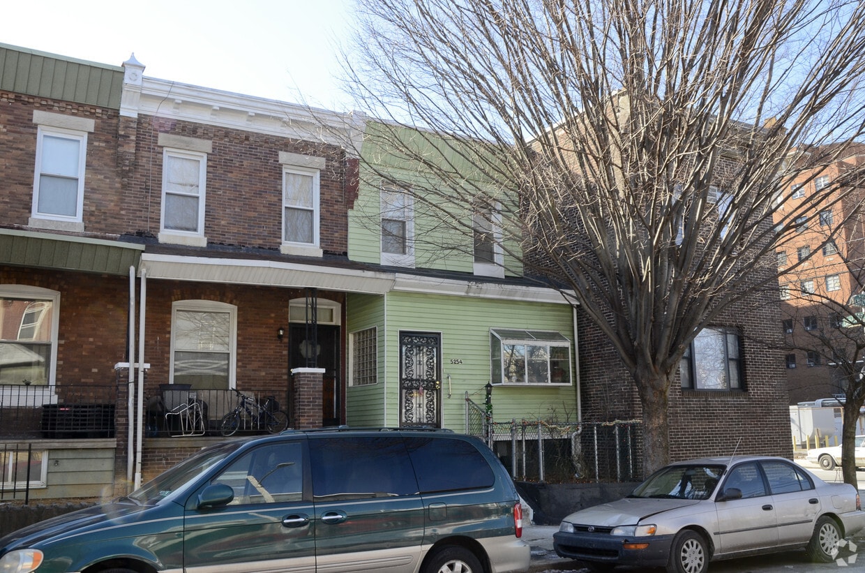
1213 Walnut
1213 Walnut St,
Philadelphia, PA 19107
$1,995 - $7,115
Studio - 2 Beds

Cobbs Creek in Philadelphia, PA is ready for your visit. The 19143 location is an ideal place for residents. Here at this community, the community staff is ready to help you find the perfect fit. A unique collection of amenities is waiting for you at this community. Some of these include: smoke free options and high-speed internet access. Contact us or stop by today.
Cobbs Creek is an apartment community located in Philadelphia County and the 19143 ZIP Code. This area is served by the The School District of Philadelphia attendance zone.
Air Conditioning
High Speed Internet Access
Tub/Shower
Smoke Free
Cobbs Creek, a tight-knit and up-and-coming community south of Market Street in West Philadelphia, lies about five miles from downtown. Its namesake, Cobbs Creek Park, offers a tranquil outdoor retreat with its trails, water views, and recreational activities. The area, settled by Lenape Indians and named after Quakers, mostly consists of townhomes and apartments that house families and students.
Cobbs Creek gives endless public transportation options. You can travel via trolley, Market-Frankford Line, or by bus to the downtown area. Students and faculty of nearby University of Pennsylvania and Drexel University appreciate the lower-cost housing options and a quick commute.
Learn more about living in Cobbs CreekCompare neighborhood and city base rent averages by bedroom.
| Cobbs Creek | Philadelphia, PA | |
|---|---|---|
| Studio | $958 | $1,429 |
| 1 Bedroom | $1,023 | $1,788 |
| 2 Bedrooms | $1,132 | $2,221 |
| 3 Bedrooms | $1,124 | $2,916 |
| Colleges & Universities | Distance | ||
|---|---|---|---|
| Colleges & Universities | Distance | ||
| Walk: | 20 min | 1.0 mi | |
| Drive: | 4 min | 1.4 mi | |
| Drive: | 5 min | 1.9 mi | |
| Drive: | 7 min | 2.7 mi |


Transportation options available in Philadelphia include Baltimore Avenue And 53Rd Street, located 0.3 mile from Cobbs Creek. Cobbs Creek is near Philadelphia International, located 7.5 miles or 18 minutes away, and Trenton Mercer, located 37.7 miles or 58 minutes away.
| Transit / Subway | Distance | ||
|---|---|---|---|
| Transit / Subway | Distance | ||
|
|
Walk: | 5 min | 0.3 mi |
|
|
Walk: | 7 min | 0.4 mi |
|
|
Walk: | 7 min | 0.4 mi |
|
|
Walk: | 9 min | 0.5 mi |
|
|
Walk: | 10 min | 0.6 mi |
| Commuter Rail | Distance | ||
|---|---|---|---|
| Commuter Rail | Distance | ||
|
|
Walk: | 20 min | 1.1 mi |
|
|
Drive: | 3 min | 1.1 mi |
|
|
Drive: | 6 min | 2.1 mi |
| Drive: | 6 min | 2.3 mi | |
|
|
Drive: | 8 min | 3.1 mi |
| Airports | Distance | ||
|---|---|---|---|
| Airports | Distance | ||
|
Philadelphia International
|
Drive: | 18 min | 7.5 mi |
|
Trenton Mercer
|
Drive: | 58 min | 37.7 mi |
Scores provided by
Traffic
ActiveAirport
CalmBusinesses
BusyScores provided by
HowLoud What is a Sound Score Rating? A Sound Score Rating aggregates noise caused by vehicle traffic, airplane traffic and local sources. How It WorksTime and distance from Cobbs Creek.
| Shopping Centers | Distance | ||
|---|---|---|---|
| Shopping Centers | Distance | ||
| Walk: | 15 min | 0.8 mi | |
| Walk: | 16 min | 0.9 mi | |
| Drive: | 4 min | 1.4 mi |
| Parks and Recreation | Distance | ||
|---|---|---|---|
| Parks and Recreation | Distance | ||
|
Cobbs Creek Environmental Education Center
|
Drive: | 3 min | 1.3 mi |
|
Penn Museum
|
Drive: | 6 min | 2.2 mi |
|
Bartram's Garden
|
Drive: | 6 min | 2.2 mi |
|
University of Pennsylvania Observatory
|
Drive: | 6 min | 2.3 mi |
|
Cobbs Creek Park
|
Drive: | 8 min | 3.0 mi |
| Hospitals | Distance | ||
|---|---|---|---|
| Hospitals | Distance | ||
| Drive: | 6 min | 2.0 mi | |
| Drive: | 7 min | 2.6 mi | |
| Drive: | 9 min | 3.7 mi |
| Military Bases | Distance | ||
|---|---|---|---|
| Military Bases | Distance | ||
| Drive: | 14 min | 6.6 mi | |
| Drive: | 47 min | 22.6 mi | |
| Drive: | 49 min | 25.1 mi |
What Are Walk Score®, Transit Score®, and Bike Score® Ratings?
Walk Score® measures the walkability of any address. Transit Score® measures access to public transit. Bike Score® measures the bikeability of any address.
What is a Sound Score Rating?
A Sound Score Rating aggregates noise caused by vehicle traffic, airplane traffic and local sources.
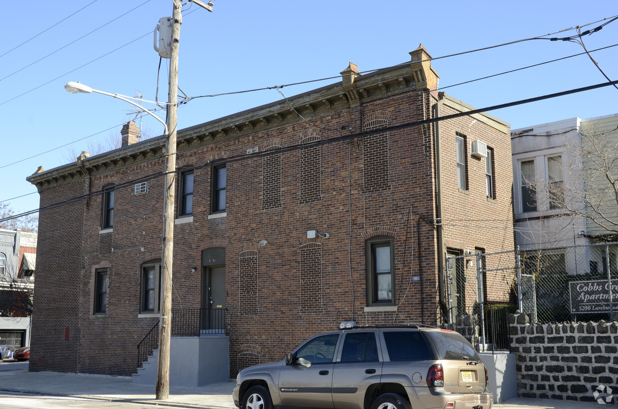
5256 Larchwood Ave
Philadelphia, PA 19143


