
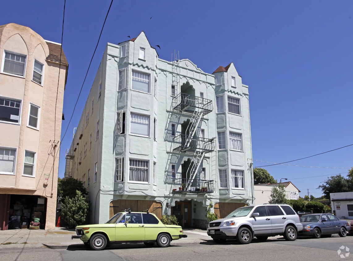
B28
2028 Bancroft Way,
Berkeley, CA 94704
1-3 Beds $2,895 - $6,495


At Chestnut Apartments in Berkeley, experience great living. The 94702 location is an ideal place for residents. Come by to view the available floorplans. From pricing to features, the leasing staff will assist you in finding your perfect apartment. Drop by the leasing office to talk about leasing your new apartment.
Chestnut Apartments is an apartment community located in Alameda County and the 94702 ZIP Code. This area is served by the Berkeley Unified attendance zone.
Refrigerator
Window Coverings
Heating
Range
World famous for its freewheeling lifestyle and free-thinking citizens, Berkeley has never been a better place to live. Tucked along the waterfront, just a couple miles from downtown and less than 15 miles from San Francisco, lies the Northwest Berkeley area.
Students, artists, professionals, and families are all proud to call this affordable and diverse community home. There's always something going on, someone trying something new, and plenty of shops, restaurants and events to explore.
Learn more about living in Northwest Berkeley| Colleges & Universities | Distance | ||
|---|---|---|---|
| Colleges & Universities | Distance | ||
| Drive: | 4 min | 1.2 mi | |
| Drive: | 7 min | 2.2 mi | |
| Drive: | 10 min | 6.0 mi | |
| Drive: | 13 min | 6.6 mi |


Transportation options available in Berkeley include North Berkeley, located 0.5 mile from Chestnut Apartments. Chestnut Apartments is near Metro Oakland International, located 16.4 miles or 25 minutes away, and San Francisco International, located 24.0 miles or 37 minutes away.
| Transit / Subway | Distance | ||
|---|---|---|---|
| Transit / Subway | Distance | ||
|
|
Walk: | 10 min | 0.5 mi |
|
|
Walk: | 10 min | 0.5 mi |
|
|
Drive: | 4 min | 1.3 mi |
|
|
Drive: | 4 min | 1.4 mi |
|
|
Drive: | 6 min | 2.3 mi |
| Commuter Rail | Distance | ||
|---|---|---|---|
| Commuter Rail | Distance | ||
|
|
Walk: | 15 min | 0.8 mi |
|
|
Drive: | 7 min | 2.6 mi |
| Drive: | 12 min | 7.2 mi | |
|
|
Drive: | 13 min | 7.9 mi |
| Drive: | 19 min | 11.5 mi |
| Airports | Distance | ||
|---|---|---|---|
| Airports | Distance | ||
|
Metro Oakland International
|
Drive: | 25 min | 16.4 mi |
|
San Francisco International
|
Drive: | 37 min | 24.0 mi |
Time and distance from Chestnut Apartments.
| Shopping Centers | Distance | ||
|---|---|---|---|
| Shopping Centers | Distance | ||
| Drive: | 3 min | 1.2 mi | |
| Drive: | 4 min | 1.3 mi | |
| Drive: | 4 min | 1.4 mi |
| Parks and Recreation | Distance | ||
|---|---|---|---|
| Parks and Recreation | Distance | ||
|
Strawberry Creek Park
|
Walk: | 5 min | 0.3 mi |
|
Cedar-Rose Park
|
Walk: | 9 min | 0.5 mi |
|
Habitot Children's Museum
|
Drive: | 4 min | 1.4 mi |
|
McLaughlin Eastshore State Park
|
Walk: | 29 min | 1.5 mi |
|
Live Oak Park
|
Drive: | 5 min | 1.8 mi |
| Hospitals | Distance | ||
|---|---|---|---|
| Hospitals | Distance | ||
| Drive: | 8 min | 2.8 mi | |
| Drive: | 8 min | 3.1 mi | |
| Drive: | 10 min | 5.9 mi |
| Military Bases | Distance | ||
|---|---|---|---|
| Military Bases | Distance | ||
| Drive: | 13 min | 5.1 mi | |
| Drive: | 16 min | 7.0 mi |
What Are Walk Score®, Transit Score®, and Bike Score® Ratings?
Walk Score® measures the walkability of any address. Transit Score® measures access to public transit. Bike Score® measures the bikeability of any address.
What is a Sound Score Rating?
A Sound Score Rating aggregates noise caused by vehicle traffic, airplane traffic and local sources
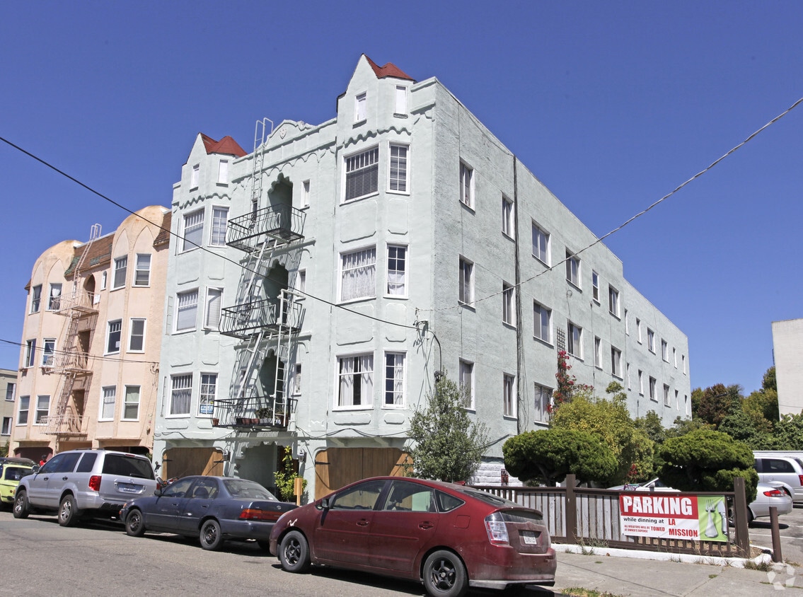
1955 Chestnut St
Berkeley, CA 94702


