
sageLA - Brand New
200 N Vermont Ave,
Los Angeles, CA 90004
Studio - 2 Beds $2,345 - $5,017
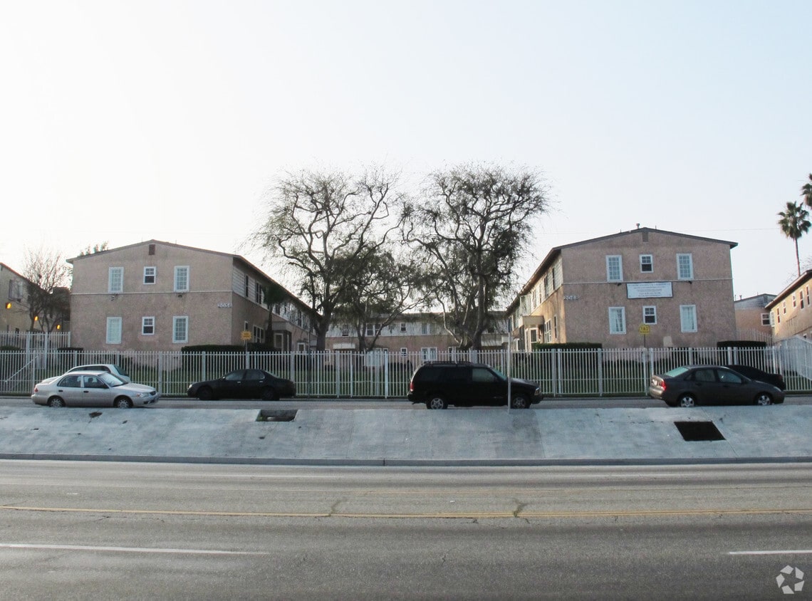
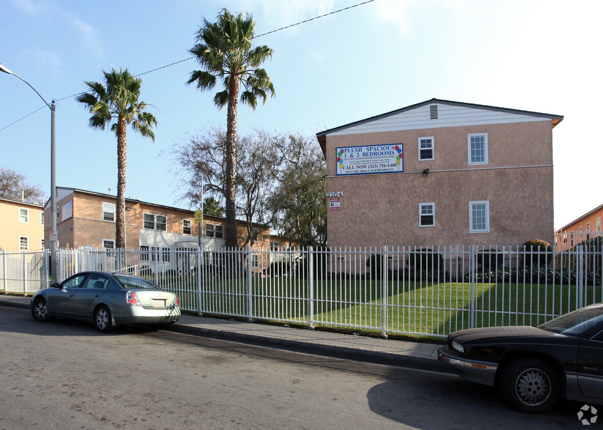
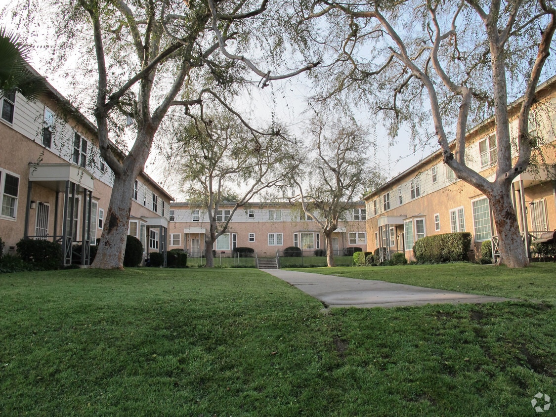
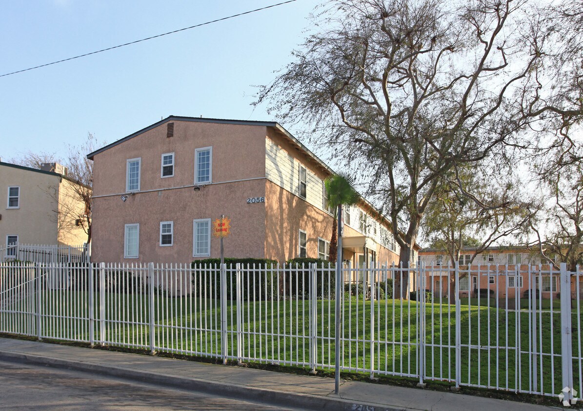
Come enjoy Los Angeles living at Century Group Apartments. Located at 2056-2118 W Century Blvd in Los Angeles, this community has much to offer its residents. The leasing team is ready to help you find your new home. Drop by the leasing office to discuss your new apartment and make your move to Century Group Apartments.
Century Group Apartments is an apartment community located in Los Angeles County and the 90047 ZIP Code. This area is served by the Los Angeles Unified attendance zone.
Westmont is a community east of Inglewood in the southern part of Los Angeles. Westmont is characterized as a typical Los Angeles neighborhood with well-populated residential avenues holding an array of rental choices. Shops and restaurants dot the neighborhood, but large shopping centers like Crenshaw Imperial Plaza and the Village at Century are located within minutes of Westmont. Despite being in the urbanized Los Angeles region, outdoor adventure abounds in nearby golf courses, parks, and recreation centers. Commuters appreciate the neighborhood’s easy access to Interstate 105 and 110 junction, making travel in and around the are simple and convenient.
Learn more about living in Westmont| Colleges & Universities | Distance | ||
|---|---|---|---|
| Colleges & Universities | Distance | ||
| Drive: | 5 min | 1.9 mi | |
| Drive: | 10 min | 5.4 mi | |
| Drive: | 13 min | 7.5 mi | |
| Drive: | 15 min | 8.2 mi |


Transportation options available in Los Angeles include Crenshaw Station, located 2.5 miles from Century Group Apartments. Century Group Apartments is near Los Angeles International, located 5.5 miles or 11 minutes away, and Long Beach (Daugherty Field), located 16.5 miles or 25 minutes away.
| Transit / Subway | Distance | ||
|---|---|---|---|
| Transit / Subway | Distance | ||
|
|
Drive: | 5 min | 2.5 mi |
|
|
Drive: | 4 min | 2.7 mi |
|
|
Drive: | 6 min | 3.3 mi |
| Drive: | 6 min | 3.4 mi | |
|
|
Drive: | 10 min | 6.5 mi |
| Commuter Rail | Distance | ||
|---|---|---|---|
| Commuter Rail | Distance | ||
|
|
Drive: | 17 min | 11.9 mi |
|
|
Drive: | 19 min | 12.1 mi |
|
|
Drive: | 24 min | 14.1 mi |
|
|
Drive: | 26 min | 15.6 mi |
| Drive: | 20 min | 15.9 mi |
| Airports | Distance | ||
|---|---|---|---|
| Airports | Distance | ||
|
Los Angeles International
|
Drive: | 11 min | 5.5 mi |
|
Long Beach (Daugherty Field)
|
Drive: | 25 min | 16.5 mi |
Time and distance from Century Group Apartments.
| Shopping Centers | Distance | ||
|---|---|---|---|
| Shopping Centers | Distance | ||
| Walk: | 12 min | 0.6 mi | |
| Walk: | 15 min | 0.8 mi | |
| Walk: | 19 min | 1.0 mi |
| Parks and Recreation | Distance | ||
|---|---|---|---|
| Parks and Recreation | Distance | ||
|
Watts Senior Center & Rose Garden
|
Drive: | 8 min | 4.4 mi |
|
Watts Towers-Rodia State Park
|
Drive: | 9 min | 5.0 mi |
|
Augustus Hawkins Natural Park
|
Drive: | 11 min | 7.2 mi |
|
California Science Center
|
Drive: | 11 min | 7.4 mi |
|
Compton Creek Natural Park at George Washington Elementary
|
Drive: | 12 min | 7.5 mi |
| Hospitals | Distance | ||
|---|---|---|---|
| Hospitals | Distance | ||
| Drive: | 4 min | 2.1 mi | |
| Drive: | 9 min | 5.3 mi | |
| Drive: | 10 min | 5.7 mi |
| Military Bases | Distance | ||
|---|---|---|---|
| Military Bases | Distance | ||
| Drive: | 10 min | 6.4 mi |
What Are Walk Score®, Transit Score®, and Bike Score® Ratings?
Walk Score® measures the walkability of any address. Transit Score® measures access to public transit. Bike Score® measures the bikeability of any address.
What is a Sound Score Rating?
A Sound Score Rating aggregates noise caused by vehicle traffic, airplane traffic and local sources

2056-2118 W Century Blvd
Los Angeles, CA 90047


 - Violet on Virgil")
