The Parkside

3315 Jefferson Ave, Cincinnati, OH 45220

Condo Building In Clifton

Units

29

Stories

3

Year Built

1900

Rating How Is This Rating Determined? Every community on Apartments.com features a rating displayed on a 5-star scale. This rating includes average renter review scores and a building rating to determine an overall blended score for this property.

Building ratings are based on this community’s features, including the building design, construction, exterior spaces, and amenities. To learn more about the CoStar Building Rating System, refer to our official guidelines here.

Units for Rent

1 Available Units

The Parkside

28,587

Total Sq Ft

Condominium

Building Type

The Parkside is a condominium located in Hamilton and the 45220 ZIP Code. This area is served by the Hamilton County attendance zone.

Building Amenities

  • Balcony
  • Fireplace
  • Washer/Dryer
  • Vaulted Ceiling
  • Views

Location

3315 Jefferson, Cincinnati,
OH 45220

Neighborhood

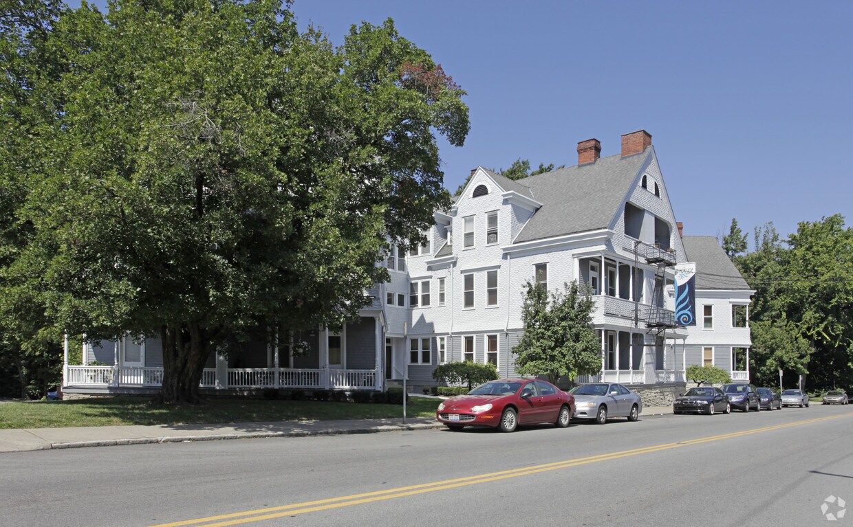
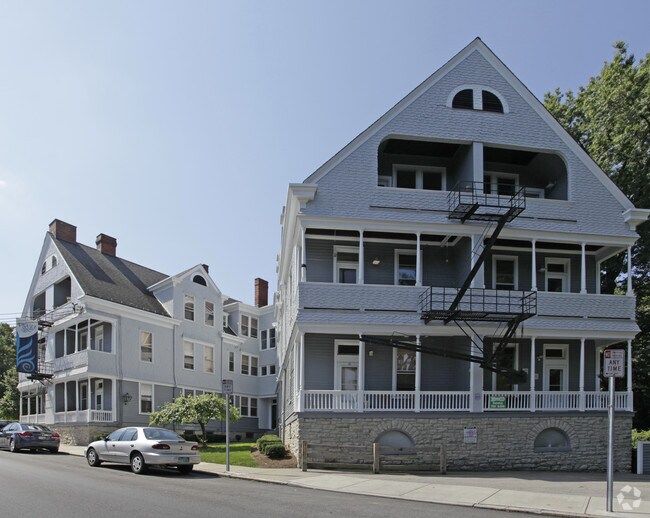
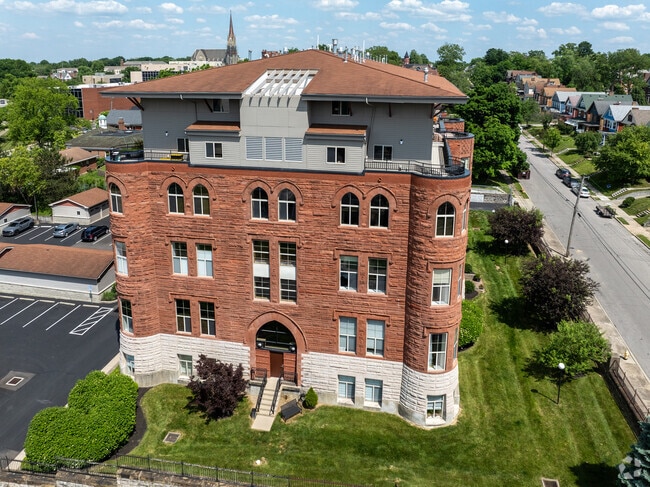
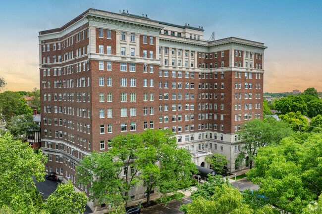
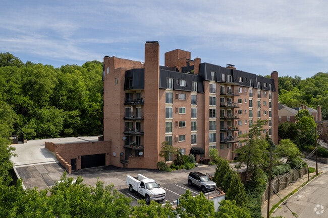
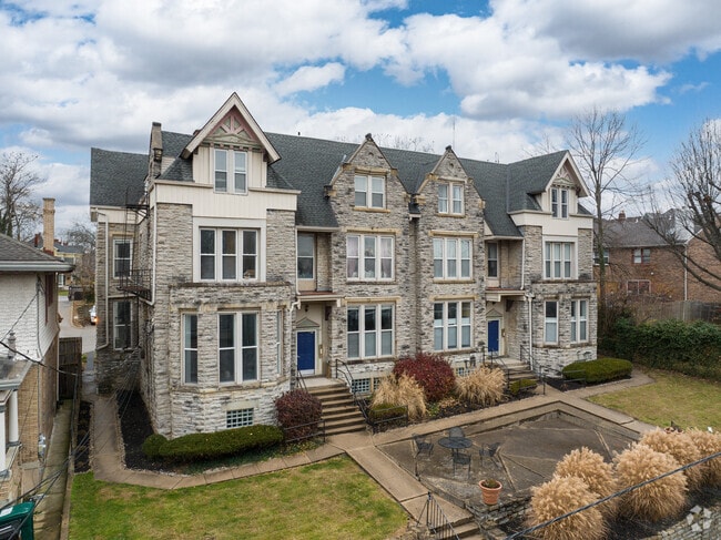
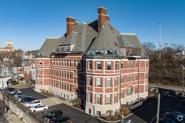
In Clifton there’s plenty to do and see. The rolling hills, lush parks and green spaces, hip shopping, and affordable apartments create a vibrancy in Clifton that can’t be ignored.

In addition to its active art scene, the neighborhood is encompassing of Mount Storm Park, Edgewood Grove Park, and the Cincinnati State Technical and Community College. Locals enjoy the direct access to Interstate 75, making commutes in and around the city a breeze.

Clifton is just north of the 90-acre Burnet Woods Park and the University of Cincinnati campus. When you have a craving for something sweet or savory, head on over to the Clifton Gaslight District for every kind of cuisine imaginable. Clifton sits atop a hill overlooking the Northside, and Ludlow Avenue has been dubbed Cincinnati’s first “Main Street.

Learn More About Clifton

Education

College & Universities Distance

Walk: 11 mins walk / 0.6 away
0.6 mi
Walk: 14 mins walk / 0.7 away
0.7 mi
Drive: 7 mins drive / 2.0 away
2.0 mi
Drive: 9 mins drive / 3.1 away
3.1 mi

The Parkside is within 11 minutes or 0.6 mile from University of Cincinnati. It is also near Univ. of Cincinnati, Medical and Cincinnati State.

Schools

Hughes STEM High School

Public School

Grades 7-12

1144 Students

AttendanceZone

3

Out of 10

Walnut Hills High School

Public School

Grades 5-12

2445 Students

AttendanceZone

8

Out of 10

Fairview-Clifton German Language School

Public School

Grades K-7, 9

647 Students

Nearby

5

Out of 10

Annunciation Elementary School

Private School

Grades PK, K-8

183 Students

Nearby

0

Out of 10

Roger Bacon High School

Private High School

Grades 9-12

486 Students

Nearby

0

Out of 10

School data provided by Great Schools The GreatSchools Rating helps parents compare schools within a state based on a variety of school quality indicators and provides a helpful picture of how effectively each school serves all of its students. Ratings are on a scale of 1 (below average) to 10 (above average) and can include test scores, college readiness, academic progress, advanced courses, equity, discipline and attendance data. We also advise parents to visit schools, consider other information on school performance and programs, and consider family needs as part of the school selection process.

Transportation

Transportation options available in Cincinnati include Findlay Market-Race Station - Race & Elder, located 2.1 miles from The Parkside.

Transit/Subway Distance

Drive: 6 mins drive / 2.2 away
2.2 mi
Drive: 5 mins drive / 2.1 away
2.1 mi
Drive: 6 mins drive / 2.2 away
2.2 mi
Drive: 6 mins drive / 2.3 away
2.3 mi
Drive: 7 mins drive / 2.6 away
2.6 mi

Commuter Rail Distance

Drive: 8 mins drive / 4.0 away
4.0 mi
The Parkside is near Cincinnati/Northern Kentucky International, located 18.0 miles or 33 minutes away.

Airports Distance

Cincinnati/Northern Kentucky International
Drive: 33 mins drive / 18.0 away
18.0 mi
Getting Around
Very Walkable
Walkability
80 / 100
Some Public Transit
Transit
50 / 100
Exceptionally Drivable
Drivability
90 / 100
Moderately Bikeable
Bikeability
60 / 100

Scores provided by

What do Walkability, Transit, Drivability, and Bikeability mean? Walkability measures the walking distance to day-to-day needs. Transit measures access to public transportation. Drivability measures congestion, parking availability, and access to major roads. Bikeability measures the suitability for cycling. How It Works

Points of Interest

Time and distance from The Parkside.

Shopping Centers Distance

Drive: 3 mins drive / 1.2 away
1.2 mi
Drive: 4 mins drive / 1.7 away
1.7 mi
Drive: 6 mins drive / 2.5 away
2.5 mi
The Parkside has 3 shopping centers within 2.5 miles, which is about a 6-minute drive. The miles and minutes will be for the farthest away property.

Parks & Recreation Distance

Burnet Woods
Walk: 2 mins walk / 0.2 away
0.2 mi
Trailside Nature Center
Walk: 6 mins walk / 0.4 away
0.4 mi
Cincinnati Zoo and Botanical Garden
Walk: 12 mins walk / 0.7 away
0.7 mi
William H. Taft National Historic Site
Drive: 5 mins drive / 1.9 away
1.9 mi
Eden Park
Drive: 8 mins drive / 3.3 away
3.3 mi
The Parkside has 5 parks within 3.3 miles, including Burnet Woods, Trailside Nature Center, and Cincinnati Zoo and Botanical Garden.

Hospitals Distance

Walk: 12 mins walk / 0.7 away
0.7 mi
Walk: 16 mins walk / 0.9 away
0.9 mi
Drive: 3 mins drive / 1.2 away
1.2 mi
The Parkside has 3 hospitals within 1.2 miles, the nearest is Good Samaritan Hospital which is 0.7 mile away and a 12 minute walk.

Nearby Condo Buildings

Within 50 Miles of The Parkside