Sargent Estates

22 Chestnut Pl, Brookline, MA 02445

Condo Building In Brookline

Units

101

Stories

7

Year Built

1969

Rating How Is This Rating Determined? Every community on Apartments.com features a rating displayed on a 5-star scale. This rating includes average renter review scores and a building rating to determine an overall blended score for this property.

Building ratings are based on this community’s features, including the building design, construction, exterior spaces, and amenities. To learn more about the CoStar Building Rating System, refer to our official guidelines here.

Units for Rent

3 Available Units

Sargent Estates

136,584

Total Sq Ft

Condominium

Building Type

Sargent Estates is a condominium located in Norfolk and the 02445 ZIP Code. This area is served by the Norfolk County attendance zone.

Building Amenities

  • Air Conditioning
  • Concierge
  • Dishwasher
  • Disposal
  • Pool
  • Sauna
  • Washer/Dryer
  • Heating
  • Walking/Biking Trails
  • Kitchen
  • Refrigerator
  • Oven
  • Range
  • Tub/Shower
  • Elevator

Location

22 Chestnut, Brookline,
MA 02445

Neighborhood

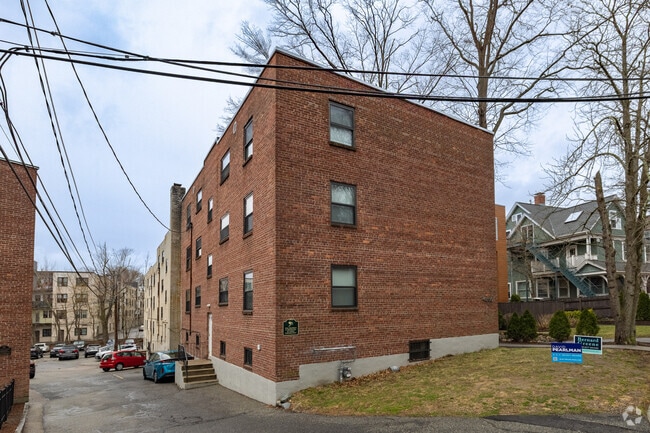
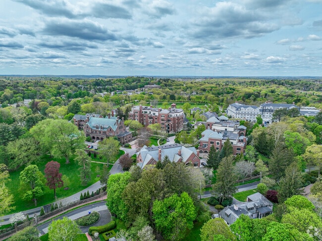
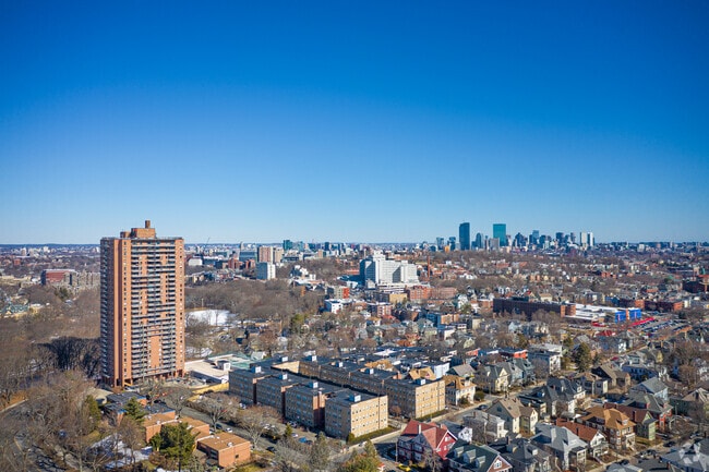
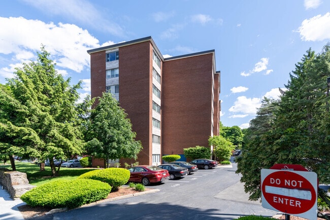
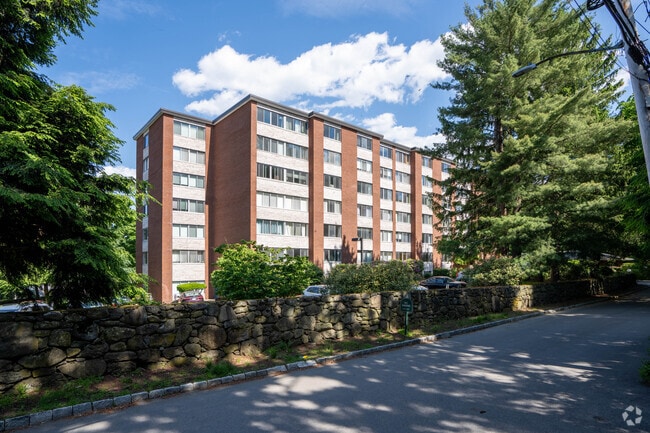
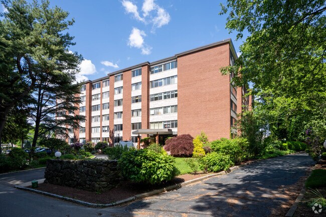
Adjacent to Boston, Brookline combines city accessibility with tree-lined residential streets. This 6.8-square-mile community features distinct neighborhoods, from the active streets of North Brookline to the established estates of South Brookline. Coolidge Corner and Washington Square serve as central commercial districts, where historic architecture houses independent shops and the landmark Coolidge Corner Theatre.

The town's green spaces include the Emerald Necklace park system, designed by Frederick Law Olmsted, and Larz Anderson Park, which spans 64 acres and houses the Larz Anderson Auto Museum. Commuters benefit from MBTA Green Line access via the C and D branches, providing direct routes to downtown Boston. Brookline's public schools consistently rank among Massachusetts' top districts. The area's notable landmarks include the John F. Kennedy National Historic Site, preserving the president's birthplace.

Learn More About Brookline

Education

College & Universities Distance

Drive: 4 mins drive / 1.8 away
1.8 mi
Drive: 6 mins drive / 2.3 away
2.3 mi
Drive: 6 mins drive / 2.3 away
2.3 mi
Drive: 5 mins drive / 2.2 away
2.2 mi

Sargent Estates is within 4 minutes or 1.8 miles from MCPHS University, Boston. It is also near Simmons College and Emmanuel College.

Schools

William H Lincoln

Public School

Grades K-8

463 Students

AttendanceZone

9

Out of 10

Curley K-8 School

Public School

Grades PK, K-8

955 Students

Nearby

4

Out of 10

Maimonides School

Private School

Grades PK-12

376 Students

Nearby

0

Out of 10

St Mary Of The Assumption Elementary School

Private School

Grades PK, K-8

208 Students

Nearby

0

Out of 10

School data provided by Great Schools The GreatSchools Rating helps parents compare schools within a state based on a variety of school quality indicators and provides a helpful picture of how effectively each school serves all of its students. Ratings are on a scale of 1 (below average) to 10 (above average) and can include test scores, college readiness, academic progress, advanced courses, equity, discipline and attendance data. We also advise parents to visit schools, consider other information on school performance and programs, and consider family needs as part of the school selection process.

Transportation

Transportation options available in Brookline include Brookline Hills Station, located 0.5 mile from Sargent Estates.

Transit/Subway Distance

Walk: 10 mins walk / 0.5 away
0.5 mi
Walk: 16 mins walk / 0.9 away
0.9 mi
Walk: 20 mins walk / 1.0 away
1.0 mi
Drive: 3 mins drive / 1.2 away
1.2 mi
Drive: 3 mins drive / 1.3 away
1.3 mi

Commuter Rail Distance

Drive: 7 mins drive / 2.9 away
2.9 mi
Drive: 11 mins drive / 4.5 away
4.5 mi
Drive: 5 mins drive / 2.5 away
2.5 mi
Drive: 14 mins drive / 6.7 away
6.7 mi
Drive: 10 mins drive / 3.9 away
3.9 mi
Sargent Estates is near General Edward Lawrence Logan International, located 8.4 miles or 17 minutes away.

Airports Distance

General Edward Lawrence Logan International
Drive: 17 mins drive / 8.4 away
8.4 mi
Getting Around
Very Walkable
Walkability
80 / 100
Good Public Transit
Transit
70 / 100
Fairly Drivable
Drivability
50 / 100
Moderately Bikeable
Bikeability
70 / 100

Scores provided by

What do Walkability, Transit, Drivability, and Bikeability mean? Walkability measures the walking distance to day-to-day needs. Transit measures access to public transportation. Drivability measures congestion, parking availability, and access to major roads. Bikeability measures the suitability for cycling. How It Works

Points of Interest

Time and distance from Sargent Estates.

Shopping Centers Distance

Drive: 4 mins drive / 1.6 away
1.6 mi
Drive: 4 mins drive / 1.5 away
1.5 mi
Drive: 5 mins drive / 1.8 away
1.8 mi
Sargent Estates has 3 shopping centers within 1.8 miles, which is about a 5-minute drive. The miles and minutes will be for the farthest away property.

Parks & Recreation Distance

Frederick Law Olmsted National Historic Site
Walk: 10 mins walk / 0.6 away
0.6 mi
Chestnut Hill Reservation
Drive: 4 mins drive / 1.9 away
1.9 mi
John Fitzgerald Kennedy National Historic Site
Drive: 5 mins drive / 1.8 away
1.8 mi
Coit Observatory
Drive: 7 mins drive / 3.1 away
3.1 mi
Roxbury Heritage State Park
Drive: 6 mins drive / 2.5 away
2.5 mi
Sargent Estates has 5 parks within 3.1 miles, including Frederick Law Olmsted National Historic Site, Chestnut Hill Reservation, and John Fitzgerald Kennedy National Historic Site.

Hospitals Distance

Drive: 5 mins drive / 1.7 away
1.7 mi
Drive: 4 mins drive / 1.7 away
1.7 mi
Drive: 3 mins drive / 1.5 away
1.5 mi
Sargent Estates has 3 hospitals within 1.7 miles, the nearest is New England Baptist Hospital which is 1.5 miles away and a 3 minute drive.

Nearby Condo Buildings

Within 50 Miles of Sargent Estates