


1 Bed
$1,630+
2 Beds
$1,630+
3 Beds
$2,330+
Total Monthly Price
Total Monthly Price
New
Prices include base rent and required monthly fees of $31. Variable costs based on usage may apply.
Base Rent:
1 Bed
$1,599+
2 Beds
$1,599+
3 Beds
$2,299+
2 Months Free
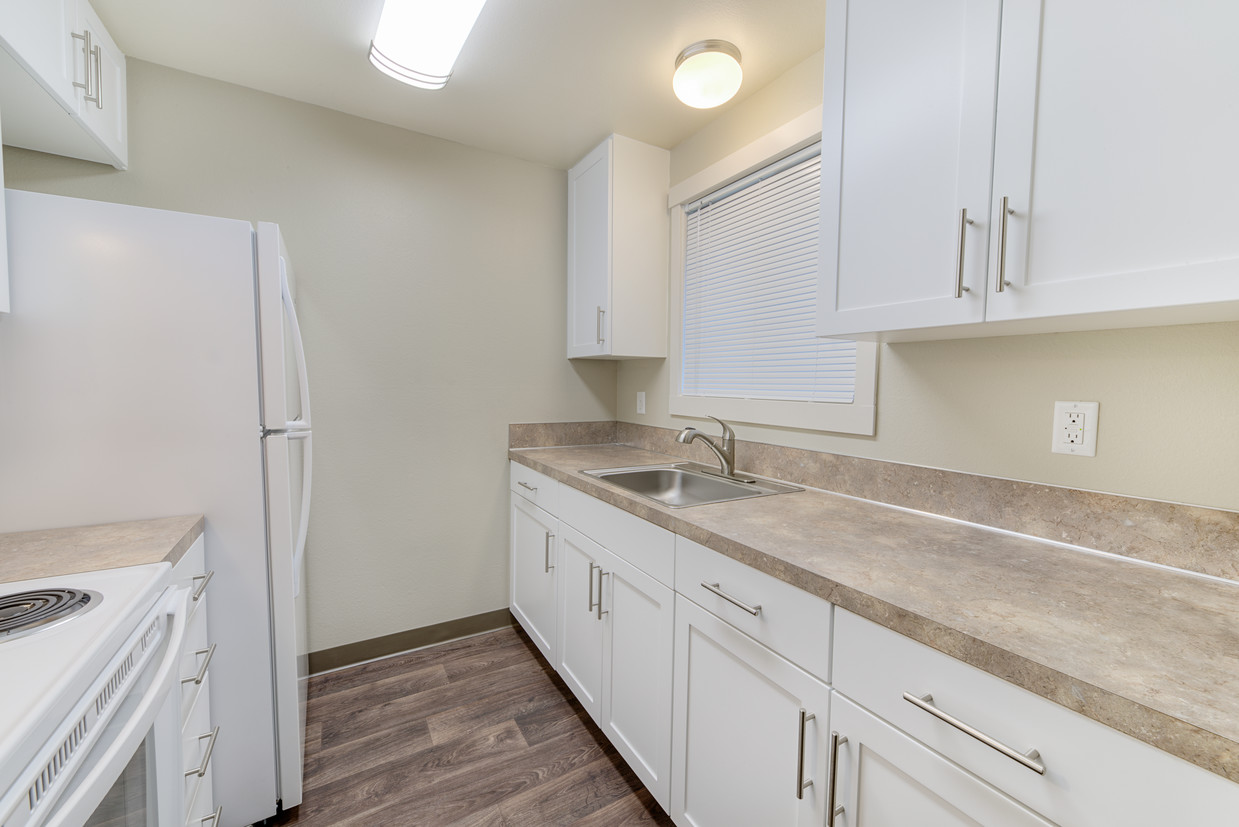
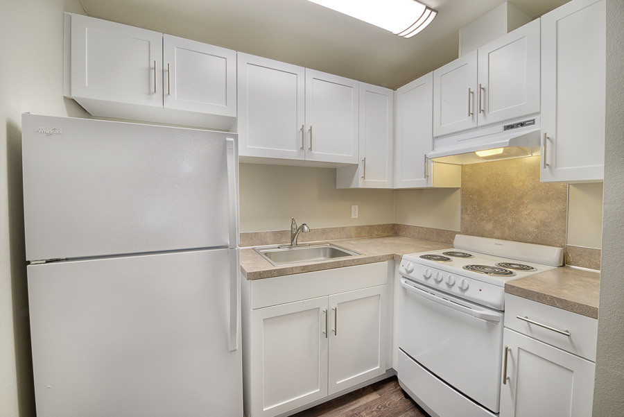
Pets Allowed Fitness Center Pool In Unit Washer & Dryer Clubhouse Maintenance on site High-Speed Internet


