
Linea
2435 S Sepulveda Blvd,
Los Angeles, CA 90064
$3,009 - $8,699
Studio - 3 Beds
Bedrooms
2 bd
Bathrooms
1 ba
Square Feet
900 sq ft
Bond Street is an apartment community located in Los Angeles County and the 90025 ZIP Code. This area is served by the Los Angeles Unified attendance zone.
Roof Terrace
Recycling
24 Hour Access
Trash Pickup - Door to Door
Dishwasher
Microwave
Refrigerator
Tub/Shower
Nestled along Interstate 10, West Los Angeles is known for being an eclectic neighborhood celebrated for its Japanese eateries and shops along Sawtelle Boulevard. Ramen, sushi, Korean BBQ, and more can be found along this commercial thoroughfare. Residents appreciate the trendy local restaurants, bars, dessert shops, grocers, craft stores, and various other specialty shops in town. West Los Angeles sits adjacent to the Rancho Park Golf Club and Hillcrest Country Club and is directly north of the Santa Monica Airport and just south of the University of California, Los Angeles.
This centrally located area is surrounded by various museums and cultural centers such as the Annenberg Space for Photography and Hammer Museum. Home to Stoner Park, families can enjoy the great outdoors along with a playground, recreation center, outdoor pool, and skate park.
Learn more about living in West Los Angeles| Colleges & Universities | Distance | ||
|---|---|---|---|
| Colleges & Universities | Distance | ||
| Drive: | 6 min | 2.2 mi | |
| Drive: | 5 min | 2.3 mi | |
| Drive: | 6 min | 2.4 mi | |
| Drive: | 6 min | 2.4 mi |


Transportation options available in West Los Angeles include Expo / Sepulveda Station, located 1.1 miles from Bond Street. Bond Street is near Los Angeles International, located 9.4 miles or 15 minutes away, and Bob Hope, located 18.0 miles or 26 minutes away.
| Transit / Subway | Distance | ||
|---|---|---|---|
| Transit / Subway | Distance | ||
| Drive: | 3 min | 1.1 mi | |
|
|
Drive: | 4 min | 1.5 mi |
|
|
Drive: | 5 min | 1.8 mi |
|
|
Drive: | 7 min | 3.2 mi |
|
|
Drive: | 7 min | 3.9 mi |
| Commuter Rail | Distance | ||
|---|---|---|---|
| Commuter Rail | Distance | ||
|
|
Drive: | 21 min | 14.3 mi |
|
|
Drive: | 20 min | 14.3 mi |
|
|
Drive: | 27 min | 17.7 mi |
|
|
Drive: | 26 min | 18.0 mi |
|
|
Drive: | 26 min | 18.8 mi |
| Airports | Distance | ||
|---|---|---|---|
| Airports | Distance | ||
|
Los Angeles International
|
Drive: | 15 min | 9.4 mi |
|
Bob Hope
|
Drive: | 26 min | 18.0 mi |
Time and distance from Bond Street.
| Shopping Centers | Distance | ||
|---|---|---|---|
| Shopping Centers | Distance | ||
| Walk: | 7 min | 0.4 mi | |
| Walk: | 8 min | 0.4 mi | |
| Walk: | 10 min | 0.5 mi |
| Parks and Recreation | Distance | ||
|---|---|---|---|
| Parks and Recreation | Distance | ||
|
Mathias Botanical Garden
|
Drive: | 5 min | 2.0 mi |
|
Hannah Carter Japanese Garden
|
Drive: | 9 min | 3.6 mi |
|
Virginia Robinson Gardens
|
Drive: | 12 min | 4.7 mi |
|
Santa Monica Pier Aquarium
|
Drive: | 9 min | 5.6 mi |
|
Santa Monica State Beach
|
Drive: | 9 min | 6.0 mi |
| Hospitals | Distance | ||
|---|---|---|---|
| Hospitals | Distance | ||
| Drive: | 6 min | 2.0 mi | |
| Drive: | 6 min | 2.1 mi | |
| Drive: | 6 min | 2.3 mi |
| Military Bases | Distance | ||
|---|---|---|---|
| Military Bases | Distance | ||
| Drive: | 16 min | 12.0 mi |
What Are Walk Score®, Transit Score®, and Bike Score® Ratings?
Walk Score® measures the walkability of any address. Transit Score® measures access to public transit. Bike Score® measures the bikeability of any address.
What is a Sound Score Rating?
A Sound Score Rating aggregates noise caused by vehicle traffic, airplane traffic and local sources

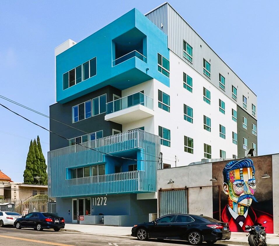
11272 Nebraska Ave
West Los Angeles, CA 90025


 - Violet on Virgil")
 - AVA Burbank")


