
Welcome to Equinox Apartments
2808 Silver Ln NE,
Saint Anthony, MN 55421
$1,395 - $1,805 Plus Fees
1-2 Beds
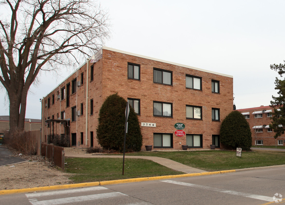
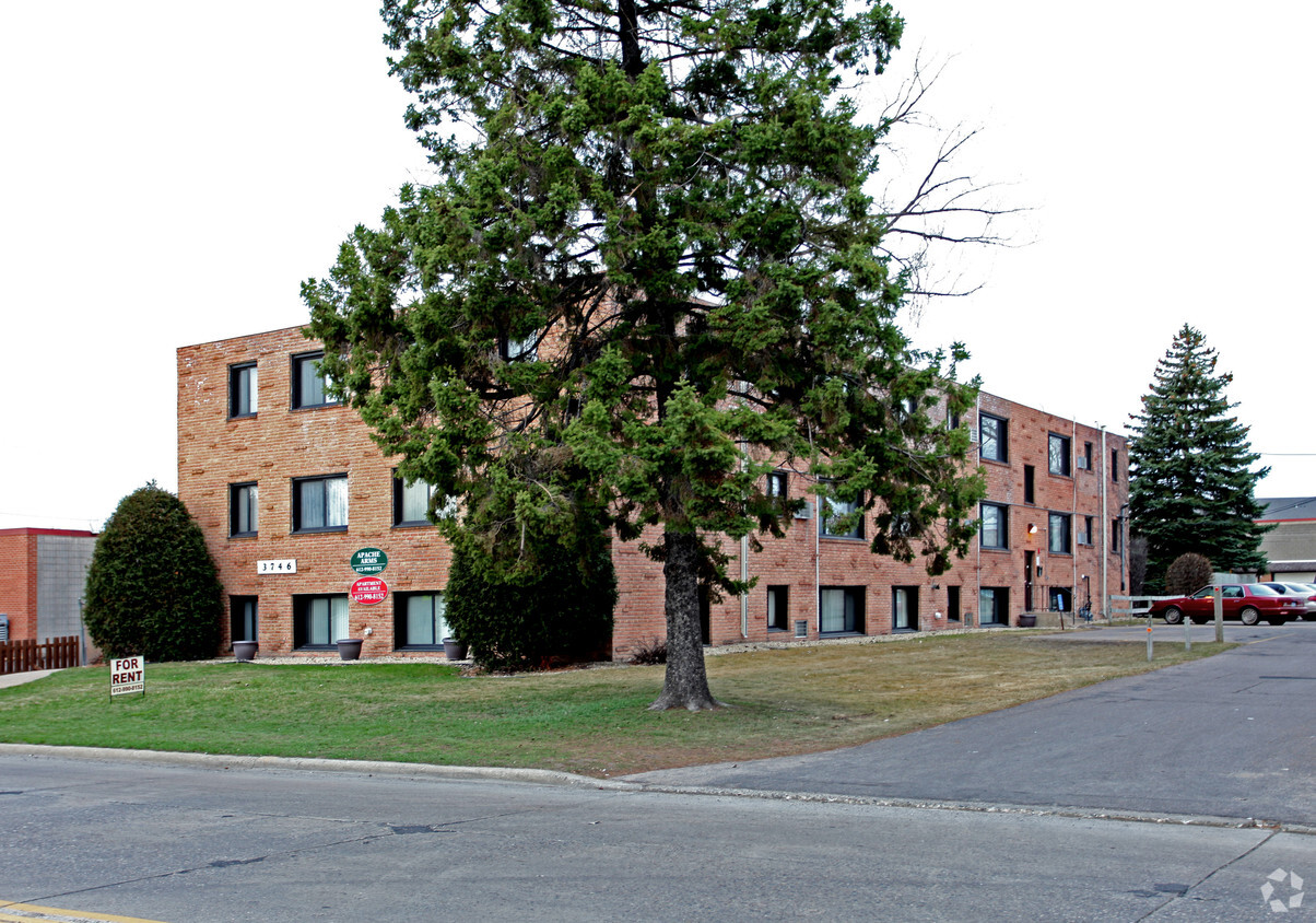

Enjoy Columbia Heights living at Apache Arms. These apartments are located at 3746 Stinson Blvd Ne in the 55421 area of Columbia Heights. The team of leasing professionals is ready to match you with your perfect new apartment. Be sure to come for a visit to view the available floorplans. Stop by the leasing office to ask about the current floorplan availability.
Apache Arms is an apartment community located in Anoka County and the 55421 ZIP Code. This area is served by the Columbia Heights Public School Dist attendance zone.
Just five miles north of Downtown Minneapolis, Columbia Heights is a historic community that combines the amenities of the big city with the more relaxed pace of the suburbs. Most of the landscape is occupied by residential neighborhoods, with a rental market spanning from affordable small houses and apartments to more upscale condos and homes.
The majority of the city’s commercial activity runs along Central Avenue, with everything from international grocers to popular local eateries to the historic Heights Theatre located on this corridor. In addition to the urban resources of the Twin Cities, you’ll also be just minutes away from countless parks, golf courses, and other outdoor recreation facilities in the area.
Learn more about living in Columbia Heights| Colleges & Universities | Distance | ||
|---|---|---|---|
| Colleges & Universities | Distance | ||
| Drive: | 8 min | 3.4 mi | |
| Drive: | 11 min | 5.6 mi | |
| Drive: | 11 min | 6.3 mi | |
| Drive: | 13 min | 7.4 mi |


Transportation options available in Columbia Heights include East Bank Station, located 5.9 miles from Apache Arms. Apache Arms is near Minneapolis-St Paul International/Wold-Chamberlain, located 15.3 miles or 29 minutes away.
| Transit / Subway | Distance | ||
|---|---|---|---|
| Transit / Subway | Distance | ||
| Drive: | 13 min | 5.9 mi | |
| Drive: | 13 min | 6.0 mi | |
|
|
Drive: | 14 min | 6.8 mi |
|
|
Drive: | 15 min | 7.1 mi |
| Drive: | 16 min | 7.3 mi |
| Commuter Rail | Distance | ||
|---|---|---|---|
| Commuter Rail | Distance | ||
|
|
Drive: | 11 min | 5.4 mi |
|
|
Drive: | 16 min | 7.2 mi |
|
|
Drive: | 20 min | 12.9 mi |
|
|
Drive: | 23 min | 15.4 mi |
|
|
Drive: | 24 min | 17.0 mi |
| Airports | Distance | ||
|---|---|---|---|
| Airports | Distance | ||
|
Minneapolis-St Paul International/Wold-Chamberlain
|
Drive: | 29 min | 15.3 mi |
Time and distance from Apache Arms.
| Shopping Centers | Distance | ||
|---|---|---|---|
| Shopping Centers | Distance | ||
| Walk: | 2 min | 0.2 mi | |
| Walk: | 3 min | 0.2 mi | |
| Walk: | 8 min | 0.5 mi |
| Parks and Recreation | Distance | ||
|---|---|---|---|
| Parks and Recreation | Distance | ||
|
Waite Park
|
Walk: | 15 min | 0.8 mi |
|
Cavell Park
|
Drive: | 3 min | 1.2 mi |
|
Columbia Park
|
Drive: | 4 min | 1.4 mi |
|
Deming Heights Park
|
Drive: | 5 min | 1.8 mi |
|
Silverwood Park
|
Drive: | 5 min | 1.8 mi |
| Hospitals | Distance | ||
|---|---|---|---|
| Hospitals | Distance | ||
| Drive: | 15 min | 6.3 mi | |
| Drive: | 13 min | 6.4 mi | |
| Drive: | 13 min | 6.8 mi |
| Military Bases | Distance | ||
|---|---|---|---|
| Military Bases | Distance | ||
| Drive: | 24 min | 12.3 mi |
Pets Allowed Fitness Center Pool Dishwasher Refrigerator Clubhouse Maintenance on site
Pets Allowed Fitness Center Pool In Unit Washer & Dryer Walk-In Closets High-Speed Internet Controlled Access
What Are Walk Score®, Transit Score®, and Bike Score® Ratings?
Walk Score® measures the walkability of any address. Transit Score® measures access to public transit. Bike Score® measures the bikeability of any address.
What is a Sound Score Rating?
A Sound Score Rating aggregates noise caused by vehicle traffic, airplane traffic and local sources

3746 Stinson Blvd NE
Columbia Heights, MN 55421


