
Venue Residences
3688 Overland Ave,
Los Angeles, CA 90034
$2,625 - $5,650
Studio - 2 Beds
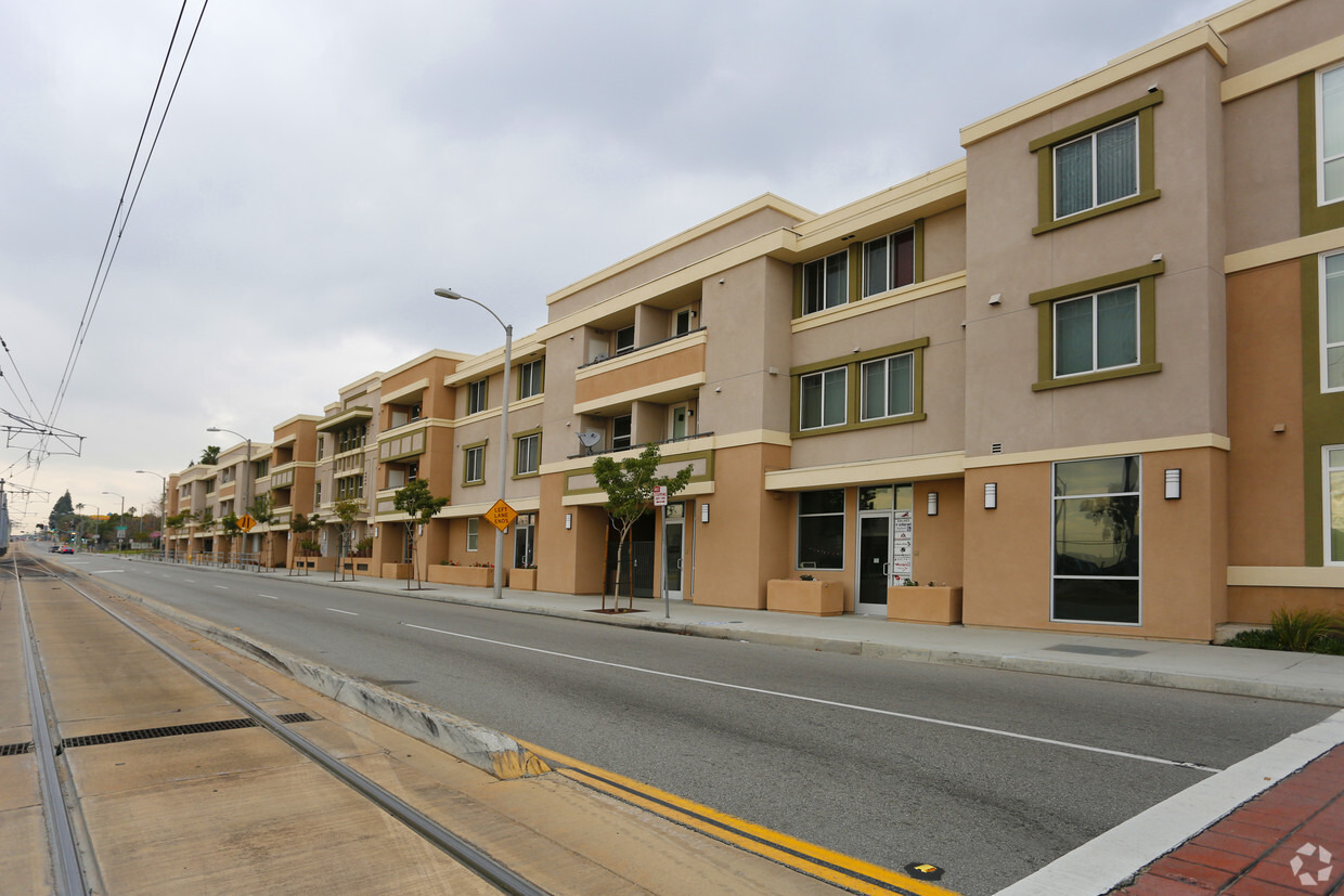
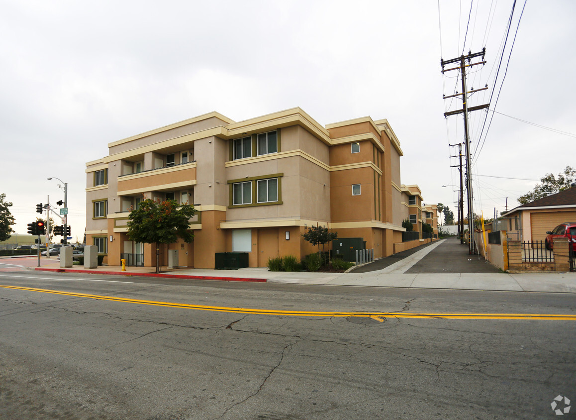
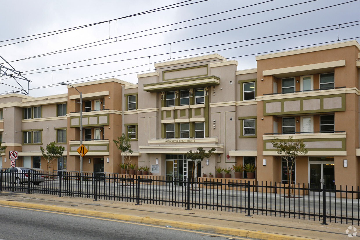
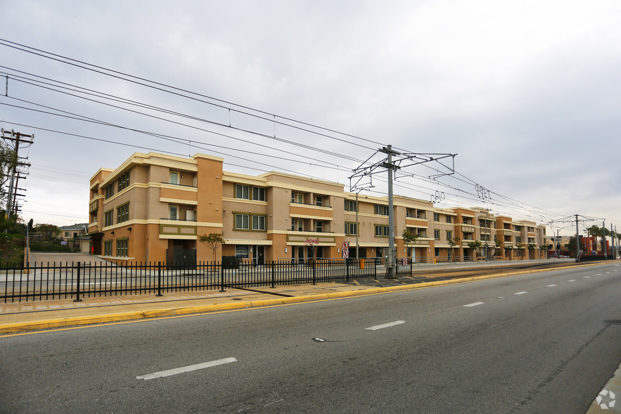
Located in the heart of Los Angeles, this award-winning, family-friendly community offers high-quality two- and three-bedroom apartment homes at affordable prices. Alta Vista also offers several designated live/work units, providing residents the opportunity to invest in their own small businesses. Residents of Alta Vista enjoy a wide variety of community amenities including a community center for resident services and events, a state-of-the-art computer room, and an outdoor play area. The Hope through Housing Foundation offers an array of programs and services to promote educational attainment, economic mobility, and overall well-being. Alta Vista is conveniently located near public transit, retail, restaurants, and so much more.
Alta Vista is an apartment community located in Los Angeles County and the 90022 ZIP Code. This area is served by the Los Angeles Unified Rocp School District attendance zone.
Southeast Los Angeles is directly south of the Fashion District and east of the University of Southern California (USC). This large neighborhood is minutes from downtown Los Angeles, Hollywood, and Beverly Hills, with easy access to the 110 Freeway. This great location places you near sunny beaches, nature trails, and a bevy of leading employers. Students can access both USC and California State University Long Beach from their Southeast LA apartment.
This densely populated, diverse neighborhood features everything from food trucks and corner markets to wide sidewalks and residential areas filled with bungalows, ranch, and Spanish Colonial architecture. Southeast LA features palm trees and mountain views, tampered with gritty undertones to give it a cool, funky vibe.
As for outdoor fun, take your pick between Catalina Island, Venus Beach, or the Santa Monica Pier. Nearby, you’ll find more sunny beaches like White Point, Cabrillo, and Long Beach.
Learn more about living in Southeast Los AngelesCompare neighborhood and city base rent averages by bedroom.
| Southeast Los Angeles | Los Angeles, CA | |
|---|---|---|
| Studio | $1,359 | $1,709 |
| 1 Bedroom | $1,623 | $2,184 |
| 2 Bedrooms | $2,054 | $3,019 |
| 3 Bedrooms | $2,508 | $4,340 |
| Colleges & Universities | Distance | ||
|---|---|---|---|
| Colleges & Universities | Distance | ||
| Drive: | 3 min | 1.3 mi | |
| Drive: | 7 min | 3.8 mi | |
| Drive: | 10 min | 4.8 mi | |
| Drive: | 12 min | 7.2 mi |


Transportation options available in Los Angeles include Atlantic, located 0.1 mile from Alta Vista. Alta Vista is near Long Beach (Daugherty Field), located 18.4 miles or 27 minutes away, and Los Angeles International, located 24.4 miles or 32 minutes away.
| Transit / Subway | Distance | ||
|---|---|---|---|
| Transit / Subway | Distance | ||
|
|
Walk: | 2 min | 0.1 mi |
|
|
Walk: | 5 min | 0.3 mi |
| Walk: | 13 min | 0.7 mi | |
|
|
Drive: | 4 min | 2.1 mi |
|
|
Drive: | 7 min | 3.4 mi |
| Commuter Rail | Distance | ||
|---|---|---|---|
| Commuter Rail | Distance | ||
|
|
Drive: | 7 min | 3.2 mi |
|
|
Drive: | 12 min | 5.5 mi |
|
|
Drive: | 11 min | 5.6 mi |
|
|
Drive: | 10 min | 6.0 mi |
| Drive: | 14 min | 9.6 mi |
| Airports | Distance | ||
|---|---|---|---|
| Airports | Distance | ||
|
Long Beach (Daugherty Field)
|
Drive: | 27 min | 18.4 mi |
|
Los Angeles International
|
Drive: | 32 min | 24.4 mi |
Scores provided by
Traffic
BusyAirport
CalmBusinesses
BusyScores provided by
HowLoud What is a Sound Score Rating? A Sound Score Rating aggregates noise caused by vehicle traffic, airplane traffic and local sources. How It WorksTime and distance from Alta Vista.
| Shopping Centers | Distance | ||
|---|---|---|---|
| Shopping Centers | Distance | ||
| Walk: | 3 min | 0.2 mi | |
| Walk: | 6 min | 0.3 mi | |
| Walk: | 9 min | 0.5 mi |
| Parks and Recreation | Distance | ||
|---|---|---|---|
| Parks and Recreation | Distance | ||
|
Hollenbeck Lake
|
Drive: | 8 min | 3.7 mi |
|
Pio Pico State Historic Park
|
Drive: | 13 min | 6.5 mi |
|
Whittier Narrows Recreation Area
|
Drive: | 11 min | 6.7 mi |
|
Audubon Center at Debs Park
|
Drive: | 15 min | 8.1 mi |
|
Elysian Park
|
Drive: | 18 min | 8.2 mi |
| Hospitals | Distance | ||
|---|---|---|---|
| Hospitals | Distance | ||
| Drive: | 4 min | 1.9 mi | |
| Drive: | 4 min | 2.3 mi | |
| Drive: | 5 min | 2.5 mi |
| Military Bases | Distance | ||
|---|---|---|---|
| Military Bases | Distance | ||
| Drive: | 32 min | 22.0 mi | |
| Drive: | 29 min | 22.8 mi | |
| Drive: | 37 min | 25.5 mi |
Pets Allowed Fitness Center Business Center Controlled Access Gated Concierge
Pets Allowed Fitness Center Pool Dishwasher Refrigerator Kitchen
Pets Allowed Pool Concierge
Pets Allowed Fitness Center Pool Dishwasher Refrigerator Walk-In Closets Clubhouse
What Are Walk Score®, Transit Score®, and Bike Score® Ratings?
Walk Score® measures the walkability of any address. Transit Score® measures access to public transit. Bike Score® measures the bikeability of any address.
What is a Sound Score Rating?
A Sound Score Rating aggregates noise caused by vehicle traffic, airplane traffic and local sources.

5051 E 3rd St
Los Angeles, CA 90022


