
9155 Cedros Ave
9155 Cedros Ave,
Los Angeles, CA 91402
4 Beds $4,200
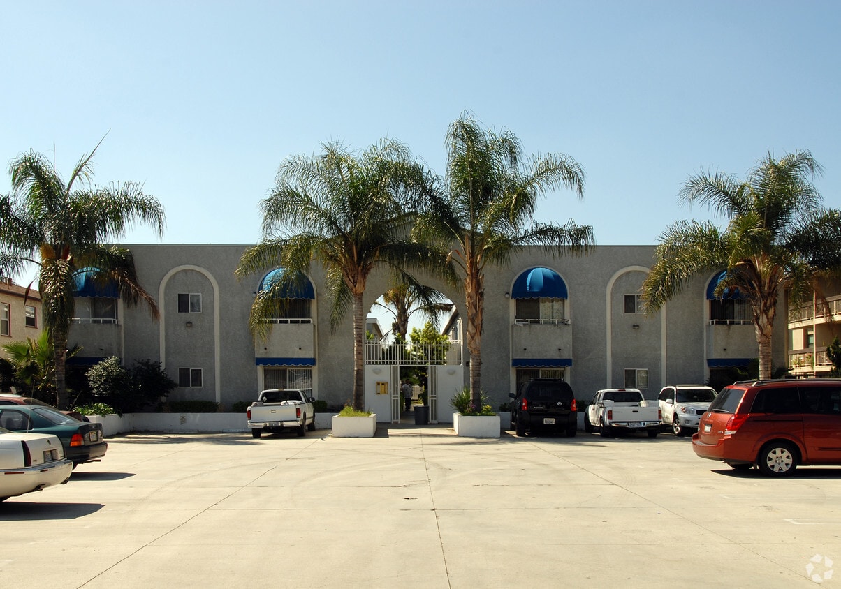
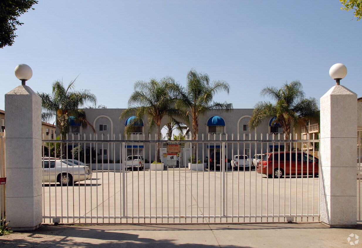

Experience Arleta living at 9537 Laurel Canyon Blvd. This property is situated in the 91331 area of Arleta. The professional leasing staff is eager to show you our community. So get a head start on your move. Contact or stop by 9537 Laurel Canyon Blvd to discuss your new apartment!
9537 Laurel Canyon Blvd is an apartment community located in Los Angeles County and the 91331 ZIP Code. This area is served by the Los Angeles Unified attendance zone.
Heating
Oven
Range
Kitchen
Situated in the San Fernando Valley at the intersection of the Golden State Freeway and the Ronald Reagan Freeway, Arleta is a predominantly residential community featuring numerous apartments and ranch style homes. Arleta also contains the Juicy Couture headquarters within its boundaries and offers easy commutes to workplaces in nearby Burbank and Glendale.
Recreational opportunities are plentiful near Arleta, with access to local parks like Ritchie Valens Park, Tobias Avenue Park, and Devonshire Arleta Park in addition to neighboring destinations such as Hansen Dam Recreation Center, La Tuna Canyon Park, Sepulveda Basin Recreation Area, and the famous Griffith Park. Arleta is just minutes from Universal Studios Hollywood and Universal CityWalk as well as Warner Brothers Studio. However, Arleta’s ties to Hollywood aren’t just limited to proximity—Arleta was featured in the Back to the Future film series as the site of the McFly family house.
Learn more about living in Arleta| Colleges & Universities | Distance | ||
|---|---|---|---|
| Colleges & Universities | Distance | ||
| Drive: | 9 min | 5.5 mi | |
| Drive: | 11 min | 6.1 mi | |
| Drive: | 11 min | 6.9 mi | |
| Drive: | 14 min | 7.2 mi |


Transportation options available in Arleta include North Hollywood Station, located 6.5 miles from 9537 Laurel Canyon Blvd. 9537 Laurel Canyon Blvd is near Bob Hope, located 5.1 miles or 9 minutes away, and Los Angeles International, located 26.0 miles or 38 minutes away.
| Transit / Subway | Distance | ||
|---|---|---|---|
| Transit / Subway | Distance | ||
|
|
Drive: | 9 min | 6.5 mi |
|
|
Drive: | 12 min | 8.9 mi |
| Commuter Rail | Distance | ||
|---|---|---|---|
| Commuter Rail | Distance | ||
|
|
Drive: | 5 min | 3.3 mi |
|
|
Drive: | 8 min | 3.6 mi |
| Drive: | 7 min | 4.9 mi | |
|
|
Drive: | 8 min | 5.1 mi |
|
|
Drive: | 9 min | 6.2 mi |
| Airports | Distance | ||
|---|---|---|---|
| Airports | Distance | ||
|
Bob Hope
|
Drive: | 9 min | 5.1 mi |
|
Los Angeles International
|
Drive: | 38 min | 26.0 mi |
Time and distance from 9537 Laurel Canyon Blvd.
| Shopping Centers | Distance | ||
|---|---|---|---|
| Shopping Centers | Distance | ||
| Walk: | 8 min | 0.4 mi | |
| Walk: | 11 min | 0.6 mi | |
| Walk: | 18 min | 1.0 mi |
| Parks and Recreation | Distance | ||
|---|---|---|---|
| Parks and Recreation | Distance | ||
|
El Cariso Regional Park
|
Drive: | 12 min | 7.1 mi |
|
Veterans Memorial Park
|
Drive: | 16 min | 8.2 mi |
|
The Japanese Garden
|
Drive: | 14 min | 8.7 mi |
|
Lake Balboa
|
Drive: | 16 min | 9.0 mi |
|
Sepulveda Basin Wildlife Reserve
|
Drive: | 18 min | 9.1 mi |
| Hospitals | Distance | ||
|---|---|---|---|
| Hospitals | Distance | ||
| Drive: | 2 min | 1.6 mi | |
| Drive: | 4 min | 2.2 mi | |
| Drive: | 7 min | 3.3 mi |
| Military Bases | Distance | ||
|---|---|---|---|
| Military Bases | Distance | ||
| Drive: | 39 min | 28.6 mi |
What Are Walk Score®, Transit Score®, and Bike Score® Ratings?
Walk Score® measures the walkability of any address. Transit Score® measures access to public transit. Bike Score® measures the bikeability of any address.
What is a Sound Score Rating?
A Sound Score Rating aggregates noise caused by vehicle traffic, airplane traffic and local sources

9537 Laurel Canyon Blvd
Arleta, CA 91331


 - AVA Burbank")


 - Violet on Virgil")
