
$1,500
Total Monthly Price
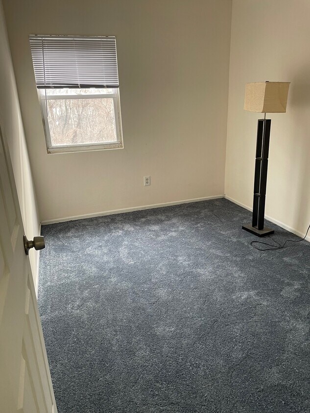
9491 Woodbridge Rd Unit 2
Philadelphia, PA 19114
Favorites
9491 Woodbridge Rd Unit 2

Favorites
Check Back Soon for Upcoming Availability
| Beds | Baths | Average SF |
|---|---|---|
| 2 Bedrooms 2 Bedrooms 2 Br | 1 Bath 1 Bath 1 Ba | 900 SF |
Fees and Policies
The fees listed below are community-provided and may exclude utilities or add-ons. All payments are made directly to the property and are non-refundable unless otherwise specified.
Details
Utilities Included
-
Water
-
Trash Removal
-
Sewer
Property Information
-
2 units
About This Property
9491 Woodbridge Rd is an apartment community located in Philadelphia County and the 19114 ZIP Code.
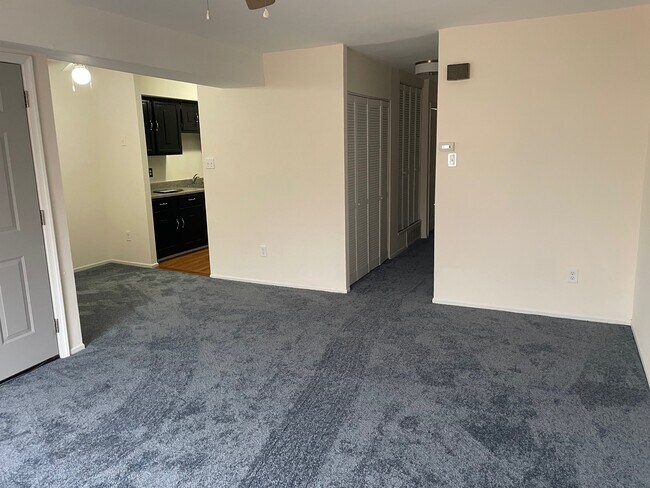
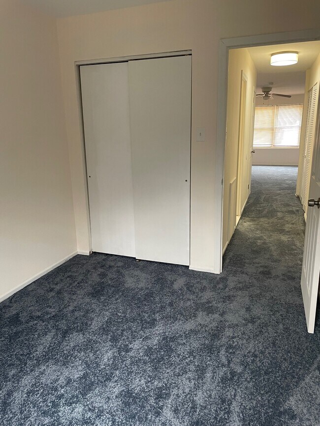
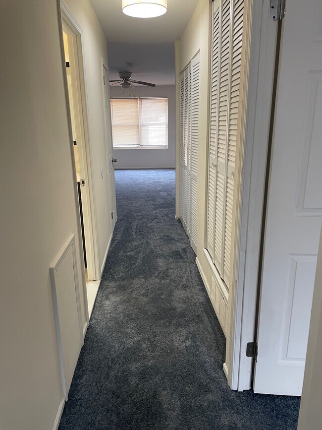
Apartment Features
Washer/Dryer
Air Conditioning
Dishwasher
Smoke Free
- Washer/Dryer
- Air Conditioning
- Smoke Free
- Dishwasher
9491 Woodbridge Rd,
Philadelphia,
PA
19114
Nestled along the Delaware River, Torresdale is a wooded neighborhood located about 13 miles northeast of Center City, Philadelphia’s downtown district. There are several parks and a golf course for residents to enjoy. Pennypack Park neighbors Torresdale to the west and is a popular spot for mountain biking and fishing. There are multiple restaurants, grocers, and shopping plazas located in and around Torresdale, so residents have access to plenty of amenities. There is a wide variety of rental options available for every budget and style including houses, apartments, condos, and townhomes. Along with a train station, U.S. Route 13 and Interstate 13 run through Torresdale, so the neighborhood is a great option for renters who commute to work or want a quieter setting that isn’t too far from the heart of the city.
Learn more about living in TorresdaleBelow are rent ranges for similar nearby apartments
Amenities
- Washer/Dryer
- Air Conditioning
- Smoke Free
- Dishwasher
Expenses
Utilities Included
Water, Trash Removal, Sewer
Included
Education
| Colleges & Universities | Distance | ||
|---|---|---|---|
| Colleges & Universities | Distance | ||
| Drive: | 5 min | 2.1 mi | |
| Drive: | 10 min | 4.3 mi | |
| Drive: | 17 min | 9.2 mi | |
| Drive: | 20 min | 9.3 mi |
9491 Woodbridge Rd Unit 2 is within 5 minutes or 2.1 miles from Holy Family University. It is also near C.C. of Philadelphia, NE Ctr and Penn State Abington.
Transportation options available in Philadelphia include Palmyra, located 8.4 miles from 9491 Woodbridge Rd Unit 2. 9491 Woodbridge Rd Unit 2 is near Trenton Mercer, located 21.4 miles or 34 minutes away, and Philadelphia International, located 24.1 miles or 38 minutes away.
| Transit / Subway | Distance | ||
|---|---|---|---|
| Transit / Subway | Distance | ||
|
|
Drive: | 20 min | 8.4 mi |
|
|
Drive: | 21 min | 8.9 mi |
|
|
Drive: | 23 min | 9.8 mi |
|
|
Drive: | 26 min | 12.5 mi |
|
|
Drive: | 29 min | 13.8 mi |
| Commuter Rail | Distance | ||
|---|---|---|---|
| Commuter Rail | Distance | ||
|
|
Drive: | 6 min | 2.4 mi |
|
|
Drive: | 10 min | 3.0 mi |
|
|
Drive: | 11 min | 5.0 mi |
|
|
Drive: | 11 min | 5.4 mi |
|
|
Drive: | 11 min | 5.5 mi |
| Airports | Distance | ||
|---|---|---|---|
| Airports | Distance | ||
|
Trenton Mercer
|
Drive: | 34 min | 21.4 mi |
|
Philadelphia International
|
Drive: | 38 min | 24.1 mi |
Walkability Near 9491 Woodbridge Rd Philadelphia, PA 19114
Getting Around
 What do Walkability, Transit, Drivability, and Bikeability mean?
Walkability measures the walking distance to day-to-day needs.
Transit measures access to public transportation.
Drivability measures congestion, parking availability, and access to major roads.
Bikeability measures the suitability for cycling.
How It Works
What do Walkability, Transit, Drivability, and Bikeability mean?
Walkability measures the walking distance to day-to-day needs.
Transit measures access to public transportation.
Drivability measures congestion, parking availability, and access to major roads.
Bikeability measures the suitability for cycling.
How It Works
Fairly Walkable
Walkability
50
/ 100
Some Public Transit
Transit
40
/ 100
Very Drivable
Drivability
80
/ 100
Fairly Bikeable
Bikeability
50
/ 100
Scores provided by
-
Soundscore™
-
/ 100
Traffic
-Airport
-Businesses
-Scores provided by
HowLoud What is a Sound Score Rating? A Sound Score Rating aggregates noise caused by vehicle traffic, airplane traffic and local sources. How It WorksTime and distance from 9491 Woodbridge Rd Unit 2.
| Shopping Centers | Distance | ||
|---|---|---|---|
| Shopping Centers | Distance | ||
| Walk: | 15 min | 0.8 mi | |
| Walk: | 21 min | 1.1 mi | |
| Drive: | 3 min | 1.2 mi |
9491 Woodbridge Rd Unit 2 has 3 shopping centers within 1.2 miles, which is about a 3-minute drive. The miles and minutes will be for the farthest away property.
| Parks and Recreation | Distance | ||
|---|---|---|---|
| Parks and Recreation | Distance | ||
|
Insectarium
|
Drive: | 8 min | 2.3 mi |
|
Pennypack Park
|
Drive: | 7 min | 3.3 mi |
|
Lorimer Park
|
Drive: | 11 min | 4.4 mi |
|
Benjamin Rush State Park
|
Drive: | 15 min | 6.0 mi |
|
Amico Island Park
|
Drive: | 27 min | 12.1 mi |
9491 Woodbridge Rd Unit 2 has 5 parks within 12.1 miles, including Insectarium, Pennypack Park, and Lorimer Park.
| Hospitals | Distance | ||
|---|---|---|---|
| Hospitals | Distance | ||
| Drive: | 6 min | 2.0 mi | |
| Drive: | 6 min | 2.9 mi | |
| Drive: | 12 min | 6.1 mi |
9491 Woodbridge Rd Unit 2 has 3 hospitals within 6.1 miles, the nearest is Nazareth Hospital which is 2.0 miles away and a 6 minute drive.
| Military Bases | Distance | ||
|---|---|---|---|
| Military Bases | Distance | ||
| Drive: | 25 min | 13.3 mi | |
| Drive: | 29 min | 15.3 mi | |
| Drive: | 29 min | 18.5 mi |
9491 Woodbridge Rd Unit 2 has 3 military bases within 18.5 miles, the nearest is Naval Air Development Center which is 13.3 miles away and a 25 minute drive.
You May Also Like
Similar Rentals Nearby


What Are Walk Score®, Transit Score®, and Bike Score® Ratings?
Walk Score® measures the walkability of any address. Transit Score® measures access to public transit. Bike Score® measures the bikeability of any address.
What is a Sound Score Rating?
A Sound Score Rating aggregates noise caused by vehicle traffic, airplane traffic and local sources.
9491 Woodbridge Rd
Philadelphia, PA 19114