

$1,795
/ Month
949 Camino Coronado
Rohnert Park, CA 94928
2 Weeks Ago
|
Edit
Favorites
949 Camino Coronado

Favorites
Check Back Soon for Upcoming Availability
| Beds | Baths | Average SF |
|---|---|---|
| 1 Bedroom 1 Bedroom 1 Br | 1 Bath 1 Bath 1 Ba | — |
About This Property
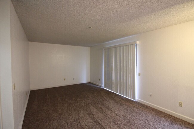
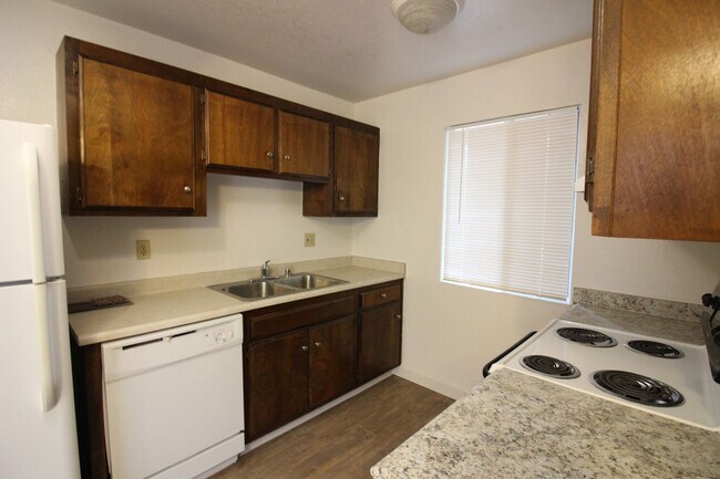
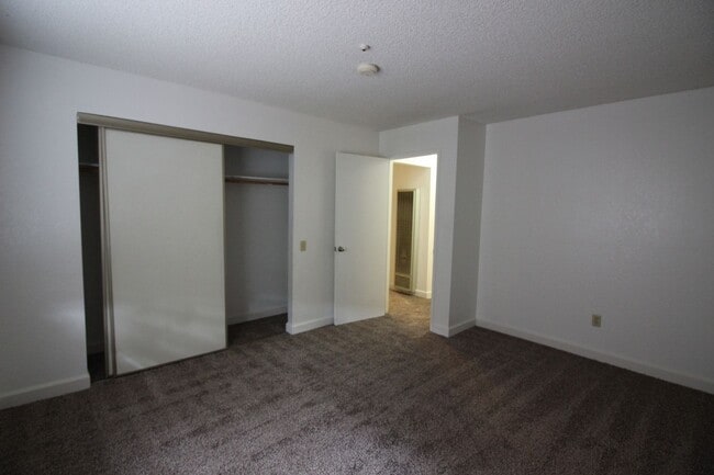
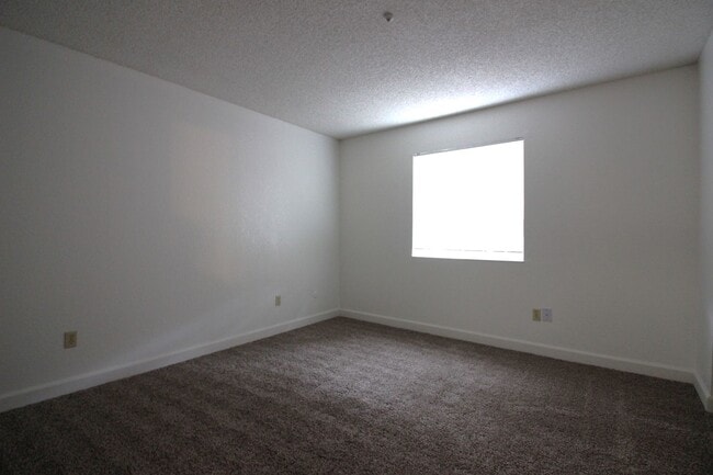
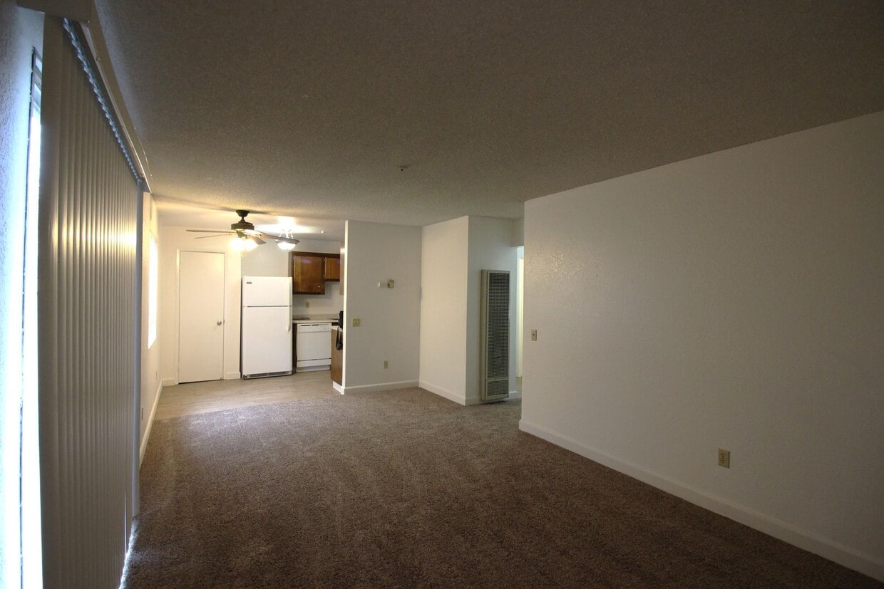
We are renting a 1 bedroom 1 bath downstairs apartment. The property features new carpet, new flooring, new paint , laundry onsite, 1 assigned carport and big private enclosed patio. The property is located at 949 Camino Coronado #A. Rohnert Park, 94928. The property has easy access to Country Club Dr, Southwest Blvd, Rohnert Park Expressway, Petaluma Hill Rd, and Hwy 101. 5 minute drive to Safeway, Starbucks, Raileys, 24hr fitness, Foxtail Golf Course, and Sonoma State University. Available: Now Lease Term: 1 year lease Rent: $1,795 per month Security Deposit: $2,000 Pet policy: No pets Utilities: Water, Sewer and Garbage. Co-Signers: No co-signors or guarantors Please call our office for the scheduled showing times. LEASING OFFICE Sonoma County Property Rentals Inc. 5218 Country Club Drive Rohnert Park, CA 94928 Sonoma County Property Rentals Inc. | DRE #02037683 | Equal Housing Opportunity Important Notes: Future tenants must have proof of Renter’s Insurance before occupying the property. All rental applications are subject to credit and screening approval. A minimum FICO Score of 650 will be required for qualifying. Increased security deposit may be required based on applicants’ credit history. Sorry, no pets will be allowed in this property. No smoking any substances on the premises. *Square footage and property details taken from private and public sources including tax records. Information published on this listing is subject to change without notice
949 Camino Coronado is a house located in Sonoma County and the 94928 ZIP Code. This area is served by the Cotati-Rohnert Park Unified School District attendance zone.
949 Camino Coronado,
Rohnert Park,
CA
94928
Rohnert Park sits at a practical crossroads in Sonoma County, close enough to San Francisco to access the Bay Area's economy yet far enough to feel like its own grounded, walkable community. Built as one of California's early planned cities, the layout is intentional—wide streets, interconnected bike paths, and a string of neighborhood parks give the city an open, unhurried character. Sonoma State University anchors the northwest side of town, drawing a steady mix of students, educators, and researchers who contribute to the city's lively arts and cultural calendar. The Spreckels Performing Arts Center and the Green Music Center on campus regularly bring theater, symphony performances, and live concerts to residents.
Neighborhood options range from established single-family areas to newer developments closer to the Rohnert Park Expressway corridor.
Learn more about living in Rohnert Park
Education
| Colleges & Universities | Distance | ||
|---|---|---|---|
| Colleges & Universities | Distance | ||
| Drive: | 5 min | 2.3 mi | |
| Drive: | 16 min | 8.2 mi | |
| Drive: | 15 min | 9.8 mi | |
| Drive: | 61 min | 37.7 mi |
949 Camino Coronado is within 5 minutes or 2.3 miles from Sonoma State University. It is also near Santa Rosa Jr Coll., Petaluma and Santa Rosa Jr Coll..
Schools


Public Elementary School
Grades K-5
376 Students
Attendance Zone
Public Elementary School
Grades K-5
274 Students
Nearby
Public Elementary School
Grades K-5
421 Students
Nearby
Public Middle School
Grades 6-8
409 Students
Attendance Zone
Public High School
Grades 9-12
1,755 Students
Attendance Zone
Private Elementary, Middle & High School
Grades PK-12
Nearby
School data provided by
 The GreatSchools Rating helps parents compare schools within a state based on a variety of school quality indicators and provides a helpful picture of how effectively each school serves all of its students. Ratings are on a scale of 1 (below average) to 10 (above average) and can include test scores, college readiness, academic progress, advanced courses, equity, discipline and attendance data. We also advise parents to visit schools, consider other information on school performance and programs, and consider family needs as part of the school selection process.
View GreatSchools Rating Methodology
Data provided by GreatSchools.org © 2026. All rights reserved.
View GreatSchools Rating Methodology
Data provided by GreatSchools.org © 2026. All rights reserved.
Walkability Near 949 Camino Coronado Rohnert Park, CA 94928
Getting Around
 What do Walkability, Transit, Drivability, and Bikeability mean?
Walkability measures the walking distance to day-to-day needs.
Transit measures access to public transportation.
Drivability measures congestion, parking availability, and access to major roads.
Bikeability measures the suitability for cycling.
How It Works
What do Walkability, Transit, Drivability, and Bikeability mean?
Walkability measures the walking distance to day-to-day needs.
Transit measures access to public transportation.
Drivability measures congestion, parking availability, and access to major roads.
Bikeability measures the suitability for cycling.
How It Works
Fairly Walkable
Walkability
50
/ 100
Some Public Transit
Transit
50
/ 100
Moderately Drivable
Drivability
70
/ 100
Moderately Bikeable
Bikeability
60
/ 100
Scores provided by
Active
Soundscore™
74
/ 100
Traffic
ActiveAirport
CalmBusinesses
CalmScores provided by
HowLoud What is a Sound Score Rating? A Sound Score Rating aggregates noise caused by vehicle traffic, airplane traffic and local sources. How It WorksYou May Also Like
Similar Rentals Nearby


What Are Walk Score®, Transit Score®, and Bike Score® Ratings?
Walk Score® measures the walkability of any address. Transit Score® measures access to public transit. Bike Score® measures the bikeability of any address.
What is a Sound Score Rating?
A Sound Score Rating aggregates noise caused by vehicle traffic, airplane traffic and local sources.
949 Camino Coronado
Rohnert Park, CA 94928