
The Vitagraph
1277 E 14th St,
Brooklyn, NY 11230
$2,770 - $3,668
1-3 Beds


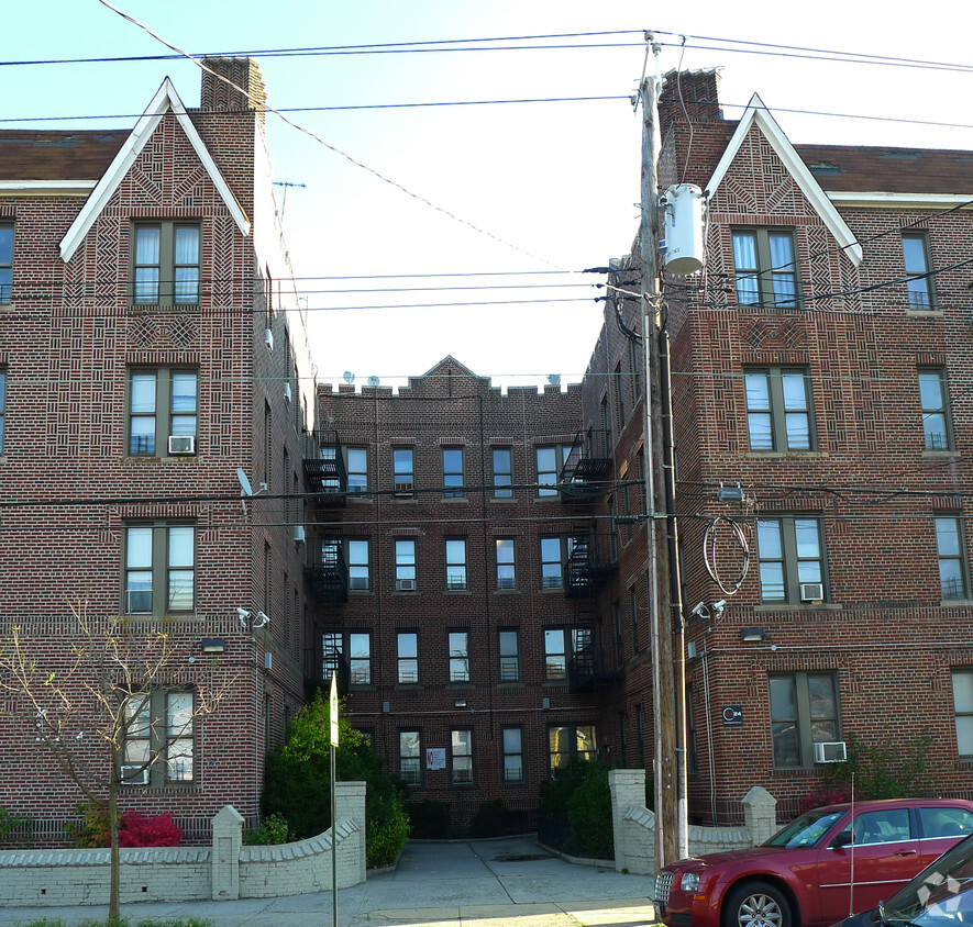

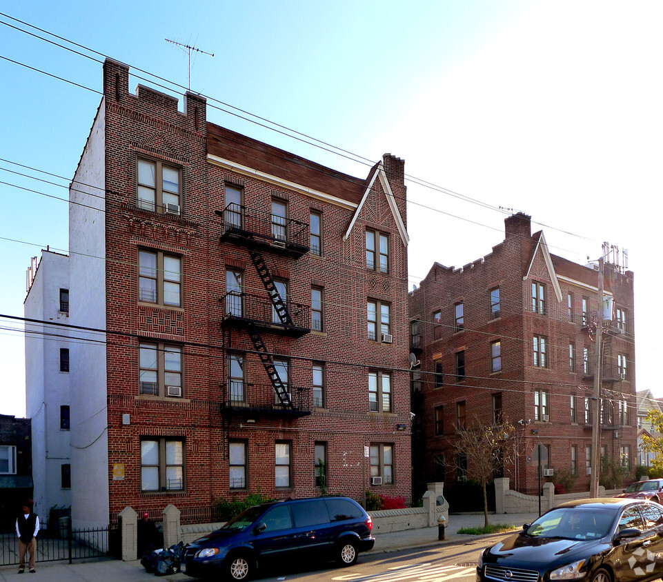
At 945 E 94th St, you've discovered your new place. This community is located at 945 E. 94th St. in the 11236 area of Brooklyn. Come for a visit to view the available floorplans. The knowledgeable leasing staff is waiting to show you all that this community has in store. Stop by the leasing office to talk about leasing your new apartment.
945 E 94th St is an apartment community located in Kings County and the 11236 ZIP Code. This area is served by the New York City Geographic District #18 attendance zone.
Located on the southeastern shore of Brooklyn, the Canarsie neighborhood functioned as a fishing village from the days of the Canarsee and Lenape Native Americans tribes through the early 1900s. The rich cultural mix of this waterfront community on Jamaica Bay results from continuing waves of immigration that the Dutch started in the 1600s. Today, you can drive to Midtown Manhattan, about 20 miles away, in under an hour, or use the city's transit system of buses and trains.
Single-family home rentals, lively apartment communities, and condos throughout the neighborhood give residents plenty of style choices. For pizza, Original Pizza, a favorite of Old Canarsie, tempts locals with its Chicken Caesar Salad pizza, while Armando's Pizza thrills diners with its special Sicilian pie. Locals gather and relax at Canarsie Pier, constructed during the early 1940s on the former site of the Golden City Amusement Park, popular in the early 1900s.
Learn more about living in CanarsieCompare neighborhood and city base rent averages by bedroom.
| Canarsie | Brooklyn, NY | |
|---|---|---|
| Studio | $814 | $2,674 |
| 1 Bedroom | $1,405 | $2,996 |
| 2 Bedrooms | $2,175 | $3,925 |
| 3 Bedrooms | - | $4,864 |
| Colleges & Universities | Distance | ||
|---|---|---|---|
| Colleges & Universities | Distance | ||
| Drive: | 9 min | 3.0 mi | |
| Drive: | 10 min | 3.5 mi | |
| Drive: | 16 min | 5.3 mi | |
| Drive: | 15 min | 5.5 mi |


Transportation options available in Brooklyn include Canarsie-Rockaway Parkway, located 0.4 mile from 945 E 94th St. 945 E 94th St is near John F Kennedy International, located 9.3 miles or 15 minutes away, and LaGuardia, located 16.1 miles or 26 minutes away.
| Transit / Subway | Distance | ||
|---|---|---|---|
| Transit / Subway | Distance | ||
|
|
Walk: | 8 min | 0.4 mi |
|
|
Drive: | 4 min | 1.1 mi |
|
|
Drive: | 4 min | 1.3 mi |
|
|
Drive: | 3 min | 1.3 mi |
|
|
Drive: | 5 min | 1.4 mi |
| Commuter Rail | Distance | ||
|---|---|---|---|
| Commuter Rail | Distance | ||
|
|
Drive: | 7 min | 2.6 mi |
|
|
Drive: | 12 min | 4.3 mi |
|
|
Drive: | 15 min | 5.7 mi |
|
|
Drive: | 18 min | 8.3 mi |
|
|
Drive: | 18 min | 8.4 mi |
| Airports | Distance | ||
|---|---|---|---|
| Airports | Distance | ||
|
John F Kennedy International
|
Drive: | 15 min | 9.3 mi |
|
LaGuardia
|
Drive: | 26 min | 16.1 mi |
Scores provided by
Traffic
ActiveAirport
CalmBusinesses
BusyScores provided by
HowLoud What is a Sound Score Rating? A Sound Score Rating aggregates noise caused by vehicle traffic, airplane traffic and local sources. How It WorksTime and distance from 945 E 94th St.
| Shopping Centers | Distance | ||
|---|---|---|---|
| Shopping Centers | Distance | ||
| Walk: | 11 min | 0.6 mi | |
| Walk: | 13 min | 0.7 mi | |
| Drive: | 4 min | 1.3 mi |
| Parks and Recreation | Distance | ||
|---|---|---|---|
| Parks and Recreation | Distance | ||
|
Betsy Head Memorial Playground
|
Drive: | 5 min | 1.6 mi |
|
Linden Playground
|
Drive: | 3 min | 1.7 mi |
|
Canarsie Park
|
Drive: | 5 min | 1.8 mi |
|
Fresh Creek Park
|
Drive: | 6 min | 1.9 mi |
|
Wingate Park
|
Drive: | 9 min | 2.9 mi |
| Hospitals | Distance | ||
|---|---|---|---|
| Hospitals | Distance | ||
| Walk: | 15 min | 0.8 mi | |
| Drive: | 6 min | 2.1 mi | |
| Drive: | 6 min | 2.3 mi |
| Military Bases | Distance | ||
|---|---|---|---|
| Military Bases | Distance | ||
| Drive: | 13 min | 6.1 mi | |
| Drive: | 21 min | 7.6 mi |
What Are Walk Score®, Transit Score®, and Bike Score® Ratings?
Walk Score® measures the walkability of any address. Transit Score® measures access to public transit. Bike Score® measures the bikeability of any address.
What is a Sound Score Rating?
A Sound Score Rating aggregates noise caused by vehicle traffic, airplane traffic and local sources.
945 E 94th St
Brooklyn, NY 11236


