
sageLA - Brand New
200 N Vermont Ave,
Los Angeles, CA 90004
Studio - 2 Beds $2,345 - $5,018
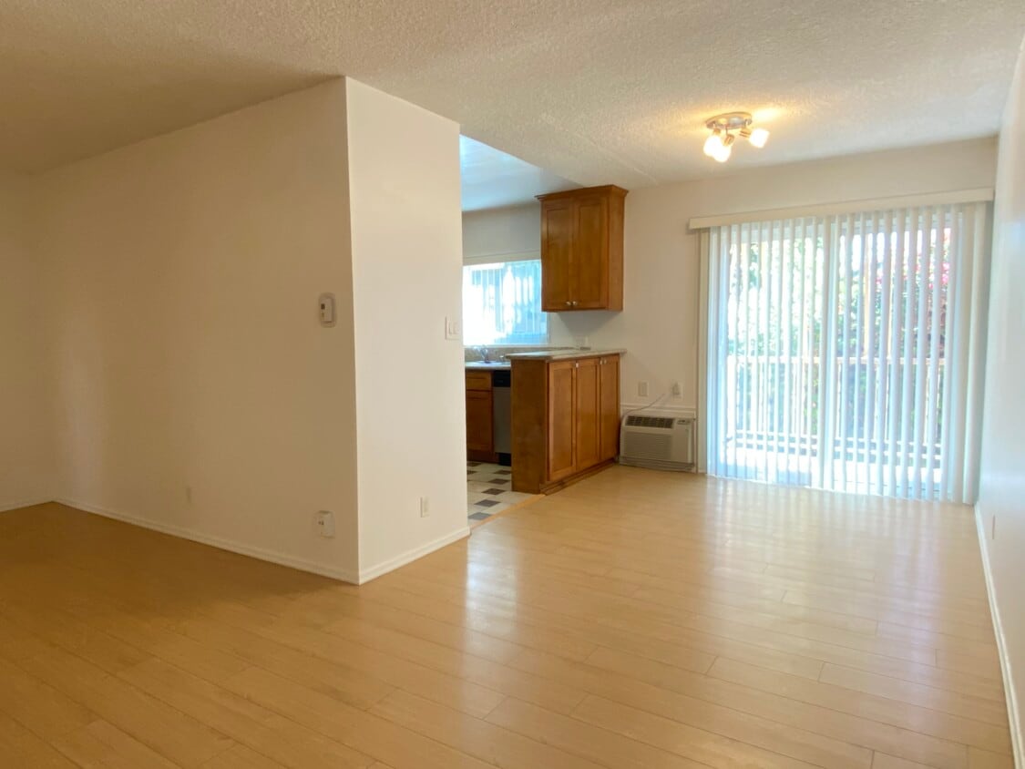
The apartments are located in a very convenient area, between Olympic/Wilshire and La Cienega / Robertson. Adjacent to Beverly Hills, Century City, Miracle Mile Close to Cedars Sinai, UCLA, Cadillac, LAX, Down Town, Santa Monica Double pane windows Hardwood floors throughout Kitchen / bathroom cabinets with granite counter tops Stainless steel appliances Shower and bathroom tub Amazing closet / storage space Assigned parking spot Sorry, No Pets Non smoking building Lease for one year OAC $50 application fee
928 S Sherbourne Dr is an apartment community located in Los Angeles County and the 90035 ZIP Code. This area is served by the Los Angeles Unified attendance zone.
Laundry Facilities
Controlled Access
Recycling
Gated
Air Conditioning
Dishwasher
Loft Layout
High Speed Internet Access
Hardwood Floors
Granite Countertops
Microwave
Refrigerator
Pico-Robertson is a popular Los Angeles neighborhood situated directly south of Beverly Hills and east of Century City. Despite its location in the heart of glittery West Los Angeles near the Miracle Mile, Beverlywood, Carthay, and Cheviot Hills, Pico-Robertson is much more low-key. You won't find trendy hotspots and wild nightlife in Pico-Robertson, but you will find a strong sense of community and a quiet setting.
Pico-Robertson offers a unique collection of delis, bakeries, and more. It is named for the intersection of Pico Boulevard and Robertson Boulevard, and that's where you'll find the majority of the neighborhood's shops, restaurants, and cafes.
Learn more about living in Pico-Robertson| Colleges & Universities | Distance | ||
|---|---|---|---|
| Colleges & Universities | Distance | ||
| Drive: | 13 min | 4.9 mi | |
| Drive: | 11 min | 5.2 mi | |
| Drive: | 11 min | 5.3 mi | |
| Drive: | 12 min | 5.6 mi |


Transportation options available in Los Angeles include Culver City, located 2.7 miles from 928 S Sherbourne Dr. 928 S Sherbourne Dr is near Los Angeles International, located 9.9 miles or 20 minutes away, and Bob Hope, located 13.6 miles or 26 minutes away.
| Transit / Subway | Distance | ||
|---|---|---|---|
| Transit / Subway | Distance | ||
|
|
Drive: | 7 min | 2.7 mi |
|
|
Drive: | 7 min | 2.8 mi |
|
|
Drive: | 7 min | 3.6 mi |
|
|
Drive: | 9 min | 3.8 mi |
|
|
Drive: | 8 min | 4.2 mi |
| Commuter Rail | Distance | ||
|---|---|---|---|
| Commuter Rail | Distance | ||
|
|
Drive: | 18 min | 9.2 mi |
|
|
Drive: | 20 min | 9.4 mi |
|
|
Drive: | 23 min | 11.5 mi |
|
|
Drive: | 21 min | 11.6 mi |
|
|
Drive: | 25 min | 12.5 mi |
| Airports | Distance | ||
|---|---|---|---|
| Airports | Distance | ||
|
Los Angeles International
|
Drive: | 20 min | 9.9 mi |
|
Bob Hope
|
Drive: | 26 min | 13.6 mi |
Time and distance from 928 S Sherbourne Dr.
| Shopping Centers | Distance | ||
|---|---|---|---|
| Shopping Centers | Distance | ||
| Walk: | 4 min | 0.2 mi | |
| Walk: | 5 min | 0.3 mi | |
| Walk: | 10 min | 0.5 mi |
| Parks and Recreation | Distance | ||
|---|---|---|---|
| Parks and Recreation | Distance | ||
|
Zimmer Children's Museum
|
Drive: | 3 min | 1.2 mi |
|
La Brea Tar Pits
|
Drive: | 4 min | 1.8 mi |
|
Virginia Robinson Gardens
|
Drive: | 8 min | 3.5 mi |
|
Runyon Canyon
|
Drive: | 12 min | 4.7 mi |
|
Kenneth Hahn State Recreation Area
|
Drive: | 13 min | 4.9 mi |
| Hospitals | Distance | ||
|---|---|---|---|
| Hospitals | Distance | ||
| Drive: | 2 min | 1.2 mi | |
| Drive: | 3 min | 1.3 mi | |
| Drive: | 4 min | 1.4 mi |
| Military Bases | Distance | ||
|---|---|---|---|
| Military Bases | Distance | ||
| Drive: | 20 min | 11.5 mi |
What Are Walk Score®, Transit Score®, and Bike Score® Ratings?
Walk Score® measures the walkability of any address. Transit Score® measures access to public transit. Bike Score® measures the bikeability of any address.
What is a Sound Score Rating?
A Sound Score Rating aggregates noise caused by vehicle traffic, airplane traffic and local sources

928 S Sherbourne Dr
Los Angeles, CA 90035


 - Violet on Virgil")
 - AVA Burbank")
