

$1,395 / Month
9250 Kiefer Blvd
Sacramento, CA 95826
2 Weeks Ago
Favorites
9250 Kiefer Blvd

Favorites
Check Back Soon for Upcoming Availability
| Beds | Baths | Average SF |
|---|---|---|
| 2 Bedrooms 2 Bedrooms 2 Br | 1 Bath 1 Bath 1 Ba | 792 SF |
Fees and Policies
The fees below are based on community-supplied data and may exclude additional fees and utilities.
About This Property
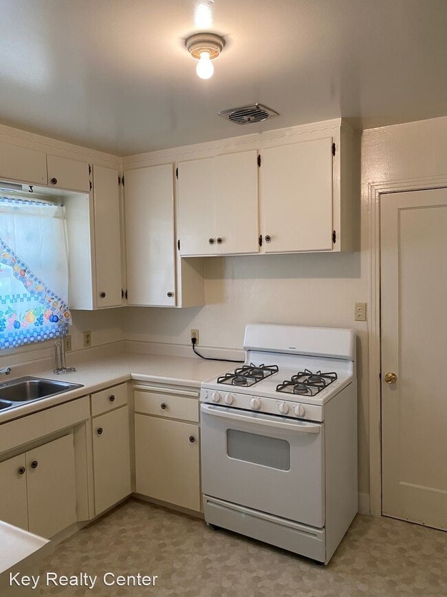
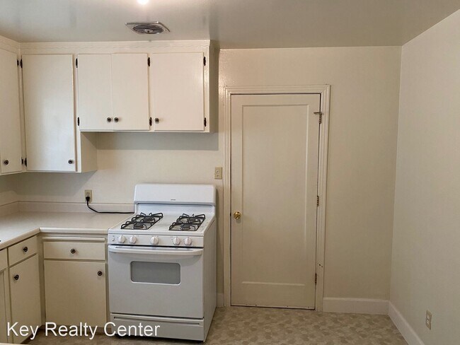
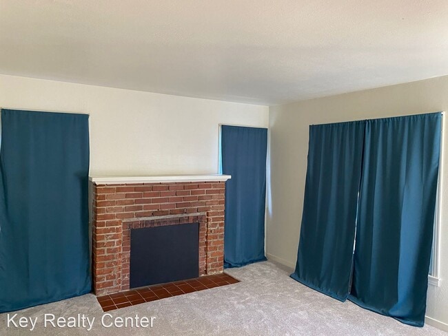
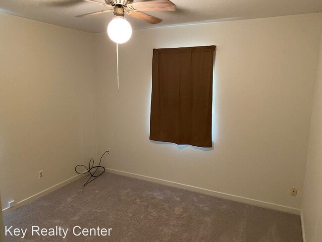
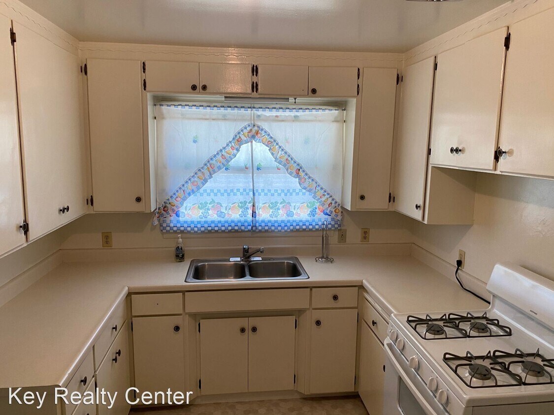
(916) 478-4100 - READY TO GO ! - We have a warm and fuzzy 2 Bedroom 1 Bath home just waiting for you to come call it home. The 2 Bedrooms are a bit on the larger side. The Kitchen has room for a small table and chairs. The laundry hook ups in the garage. The large back yard is extremely inviting. So lets not waste time. Give us a call or go to our website www.keyrealtycenter.com DRE:01026544 Application Fee 45.00 ( NON REFUNDABLE ) Deposit: 1500 No Pets Allowed (RLNE6017380) Pet policies: No Dogs Allowed, No Cats Allowed.
9250 Kiefer Blvd is a house located in Sacramento County and the 95826 ZIP Code. This area is served by the Sacramento City Unified attendance zone.
Unique Features
- No Dogs Allowed, No Cats Allowed
Location
Get Directions
Between towering trees and spacious single-family homes lies the suburban neighborhood of Rosemont. Because of its short distance from Downtown Sacramento, residents of Rosemont have easy access to local treasures like the California State Capitol Museum and Golden 1 Center. Less than 10 miles from Rosemont, Midtown Sacramento is the best place to find fantastic food options from gourmet pizza and urban eats to cute cafes and spaghetti spots. This lively area also houses historic locales like Sutter’s Fort State Historic Park.
Commuting isn’t an issue for renters in Rosemont with Highways 16 and 50 nearing the neighborhood. If family-friendliness is a concern, fret no more.
Learn more about living in RosemontBelow are rent ranges for similar nearby apartments
Amenities
- No Dogs Allowed, No Cats Allowed
Education
| Colleges & Universities | Distance | ||
|---|---|---|---|
| Colleges & Universities | Distance | ||
| Drive: | 10 min | 4.9 mi | |
| Drive: | 16 min | 9.7 mi | |
| Drive: | 20 min | 9.9 mi | |
| Drive: | 20 min | 10.6 mi |
9250 Kiefer Blvd is within 10 minutes or 4.9 miles from Sacramento State. It is also near Sacramento City College and American River College.
Schools


Public Elementary School
Grades K-3
372 Students
Nearby
Public Elementary School
Grades K-6
409 Students
Attendance Zone
Public Middle School
Grades 7-8
671 Students
Attendance Zone
Public High School
Grades 9-12
1,514 Students
Attendance Zone
Private Elementary School
Grades PK-2
Nearby
Private Elementary, Middle & High School
Grades K-12
Nearby
Private Elementary & Middle School
Grades 3-7
Nearby
School data provided by
 The GreatSchools Rating helps parents compare schools within a state based on a variety of school quality indicators and provides a helpful picture of how effectively each school serves all of its students. Ratings are on a scale of 1 (below average) to 10 (above average) and can include test scores, college readiness, academic progress, advanced courses, equity, discipline and attendance data. We also advise parents to visit schools, consider other information on school performance and programs, and consider family needs as part of the school selection process.
View GreatSchools Rating Methodology
Data provided by GreatSchools.org © 2025. All rights reserved.
View GreatSchools Rating Methodology
Data provided by GreatSchools.org © 2025. All rights reserved.
Transportation options available in Sacramento include Starfire, located 1.4 miles from 9250 Kiefer Blvd. 9250 Kiefer Blvd is near Sacramento International, located 21.3 miles or 30 minutes away.
| Transit / Subway | Distance | ||
|---|---|---|---|
| Transit / Subway | Distance | ||
|
|
Drive: | 3 min | 1.4 mi |
|
|
Drive: | 3 min | 1.6 mi |
|
|
Drive: | 4 min | 1.6 mi |
|
|
Drive: | 4 min | 1.7 mi |
|
|
Drive: | 5 min | 2.6 mi |
| Commuter Rail | Distance | ||
|---|---|---|---|
| Commuter Rail | Distance | ||
| Drive: | 16 min | 10.9 mi | |
|
|
Drive: | 31 min | 18.9 mi |
|
|
Drive: | 31 min | 21.0 mi |
|
|
Drive: | 29 min | 22.9 mi |
|
|
Drive: | 45 min | 33.3 mi |
| Airports | Distance | ||
|---|---|---|---|
| Airports | Distance | ||
|
Sacramento International
|
Drive: | 30 min | 21.3 mi |
Time and distance from 9250 Kiefer Blvd.
| Shopping Centers | Distance | ||
|---|---|---|---|
| Shopping Centers | Distance | ||
| Walk: | 8 min | 0.4 mi | |
| Drive: | 4 min | 1.5 mi | |
| Drive: | 4 min | 1.8 mi |
9250 Kiefer Blvd has 3 shopping centers within 1.8 miles, which is about a 4-minute walk. The miles and minutes will be for the farthest away property.
| Parks and Recreation | Distance | ||
|---|---|---|---|
| Parks and Recreation | Distance | ||
|
River Bend Park
|
Drive: | 14 min | 4.6 mi |
|
Paradise Beach County Recreation Area
|
Drive: | 10 min | 5.7 mi |
|
River City Paddlers
|
Drive: | 12 min | 6.5 mi |
|
Ancil Hoffman Park
|
Drive: | 18 min | 8.4 mi |
|
Effie Yeaw Nature Center
|
Drive: | 18 min | 8.5 mi |
9250 Kiefer Blvd has 5 parks within 8.5 miles, including River Bend Park, Paradise Beach County Recreation Area, and River City Paddlers.
| Hospitals | Distance | ||
|---|---|---|---|
| Hospitals | Distance | ||
| Drive: | 7 min | 3.7 mi | |
| Drive: | 10 min | 5.5 mi | |
| Drive: | 11 min | 6.5 mi |
9250 Kiefer Blvd has 3 hospitals within 6.5 miles, the nearest is Sutter Center for Psychiatry which is 3.7 miles away and a 7 minute drive.
| Military Bases | Distance | ||
|---|---|---|---|
| Military Bases | Distance | ||
| Drive: | 31 min | 14.8 mi |
9250 Kiefer Blvd is 14.8 miles and a 31 minute drive from McClellan Air Force Base.
You May Also Like
Similar Rentals Nearby


What Are Walk Score®, Transit Score®, and Bike Score® Ratings?
Walk Score® measures the walkability of any address. Transit Score® measures access to public transit. Bike Score® measures the bikeability of any address.
What is a Sound Score Rating?
A Sound Score Rating aggregates noise caused by vehicle traffic, airplane traffic and local sources
9250 Kiefer Blvd
Sacramento, CA 95826