
$1,775
Total Monthly Price
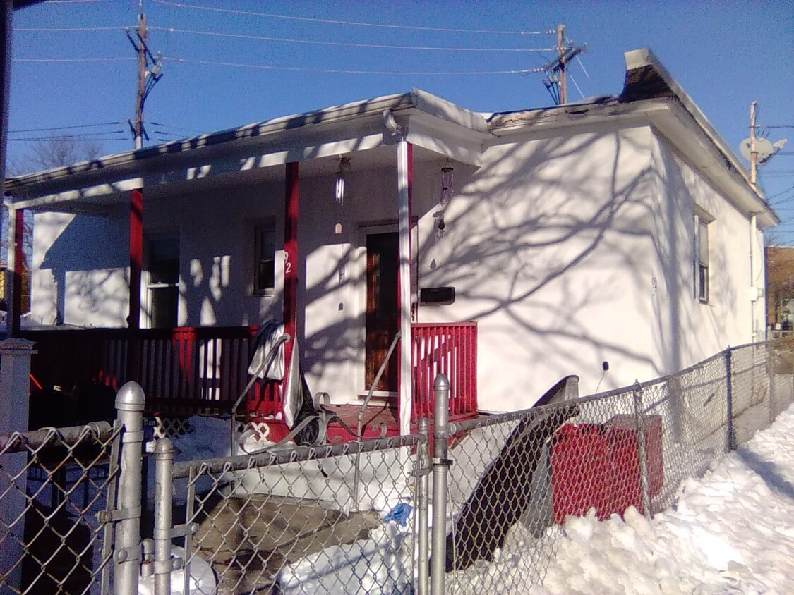
92 Holly St
Carteret, NJ 07008
Today
|
Edit
Favorites
848-281-0598
-
Bedrooms
2
-
Bathrooms
1
-
Square Feet
2,383 sq ft
-
Available
Available Now
92 Holly St

Favorites
About This Home
12 Month Lease,
$2,662 deposit,
Available Now
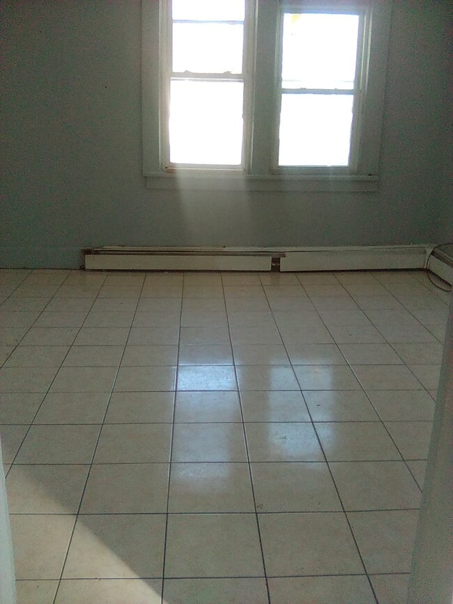
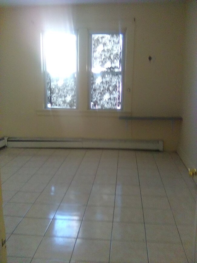
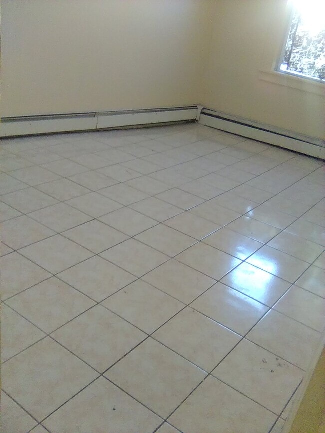
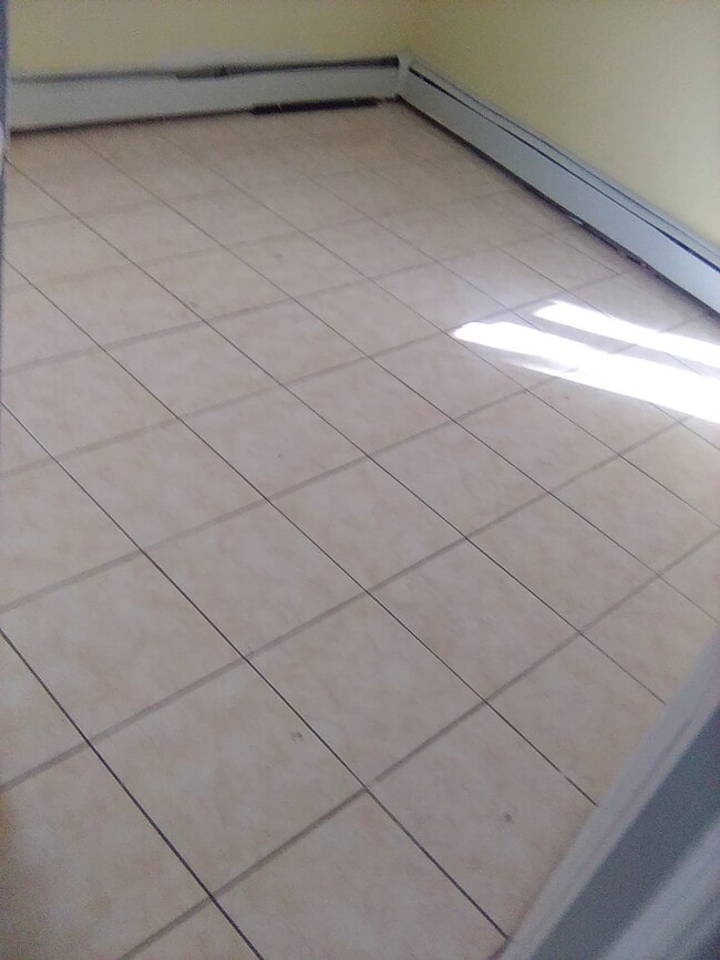
2 bedroom 1 family house for rent address 92 holly street carteret new jersey 07008 2 bedroom 1 family house for rent is in the first floor 2 bedroom 1 family house for rent is house number 92 2 bedroom 1 family house for rent have 2 bedroom and 1 refrigerator and 1 freezer in the top and 1 stove and 1 oven and 1 living room and 1 bathroom rent 1775 a month month half deposit 2662 if you dont have a month half deposit to give down call us if you can call us email us and let us no that you dont have a month half deposit to give down if we can do a 1 month deposit after you call us to tell us that you dont have a month half deposit to give down if we can do a 1 months deposit to give down it could be a yes or a no for us to do a 1 month deposit but you can try if you dont have a month half deposit to give down land lord pays for water only tenant pays for electric and gas 2 bedroom 1 family house for rent come with no parking space parking space is in the street no cats or dogs is allow inside the property smoking is allow inside the property washer machine is allow inside the property lease term is 1 year higher higher if the tenant want if you interest looking at the 2 bedroom 1 family house for rent call us if you can not call us email us
92 Holly St is a house located in Middlesex County and the 07008 ZIP Code. This area is served by the Carteret Public attendance zone.
* Price shown is total price based on community-supplied monthly required fees. Excludes user-selected optional fees and variable or usage-based fees and required charges due at or prior to move-in or at move-out. Price, availability, fees, and any applicable rent special are subject to change without notice.
* Square footage definitions vary. Displayed square footage is approximate.
House Features
Washer/Dryer Hookup
Refrigerator
Tub/Shower
Freezer
- Washer/Dryer Hookup
- Heating
- Tub/Shower
- Oven
- Refrigerator
- Freezer
Fees and Policies
The fees listed below are community-provided and may exclude utilities or add-ons. All payments are made directly to the property and are non-refundable unless otherwise specified.
- Parking
-
Street--
Details
Utilities Included
-
Water
Property Information
-
Built in 1905
Contact
- Listed by elvis mendez
- Phone Number
- Contact
Location
Get Directions
Located directly across the Arthur Kill from Staten Island, Carteret was once part of the Woodbridge Township. It became the borough of Roosevelt in 1906 and was renamed Carteret in 1922. This popular community is bordered by the Rahway River to the north, Arthur Kill to the east, and the Ernest L. Oros Wildlife Preserve to the west. Due to its central location, the borough bills itself as the "Center of it All."
Residents enjoy a fantastic location and beautiful parks. Carteret Waterfront Park has a fishing pier and access to two hiking trails: Danielle's Garden Trail and the Waterfront Fitness Trail. Shopping in Carteret is plentiful -- the brick-paved sidewalks and outdoor cafes along Washington Avenue provide historic charm and locally-owned businesses, while the shops and restaurants along Roosevelt Avenue have a more modern feel. With just 22 miles to Manhattan, 10 miles to Newark, and 70 miles to Philadelphia, residents can easily commute to nearby cities.
Learn more about living in Carteret
Education
| Colleges & Universities | Distance | ||
|---|---|---|---|
| Colleges & Universities | Distance | ||
| Drive: | 16 min | 8.3 mi | |
| Drive: | 19 min | 10.0 mi | |
| Drive: | 20 min | 11.2 mi | |
| Drive: | 25 min | 14.2 mi |
92 Holly St is within 16 minutes or 8.3 miles from Union County Coll., Elizabeth. It is also near Kean University and Coll. of Staten Island, CUNY.
Schools


Public Elementary School
Grades PK-4
578 Students
Attendance Zone
Public Elementary School
Grades 5-6
553 Students
Attendance Zone
Public High School
Grades 9-12
1,089 Students
Attendance Zone
Private Elementary, Middle & High School
40 Students
Nearby
Private Elementary School
Grades PK-5
Nearby
School data provided by
 The GreatSchools Rating helps parents compare schools within a state based on a variety of school quality indicators and provides a helpful picture of how effectively each school serves all of its students. Ratings are on a scale of 1 (below average) to 10 (above average) and can include test scores, college readiness, academic progress, advanced courses, equity, discipline and attendance data. We also advise parents to visit schools, consider other information on school performance and programs, and consider family needs as part of the school selection process.
View GreatSchools Rating Methodology
Data provided by GreatSchools.org © 2026. All rights reserved.
View GreatSchools Rating Methodology
Data provided by GreatSchools.org © 2026. All rights reserved.
Transportation options available in Carteret include 8Th Street Light Rail Station, located 12.8 miles from 92 Holly St. 92 Holly St is near Newark Liberty International, located 14.4 miles or 23 minutes away, and LaGuardia, located 31.8 miles or 52 minutes away.
| Transit / Subway | Distance | ||
|---|---|---|---|
| Transit / Subway | Distance | ||
| Drive: | 22 min | 12.8 mi | |
|
|
Drive: | 24 min | 14.0 mi |
|
|
Drive: | 23 min | 15.7 mi |
|
|
Drive: | 22 min | 15.7 mi |
| Commuter Rail | Distance | ||
|---|---|---|---|
| Commuter Rail | Distance | ||
|
|
Drive: | 7 min | 3.2 mi |
|
|
Drive: | 10 min | 4.5 mi |
|
|
Drive: | 18 min | 8.9 mi |
|
|
Drive: | 19 min | 9.7 mi |
|
|
Drive: | 21 min | 11.1 mi |
| Airports | Distance | ||
|---|---|---|---|
| Airports | Distance | ||
|
Newark Liberty International
|
Drive: | 23 min | 14.4 mi |
|
LaGuardia
|
Drive: | 52 min | 31.8 mi |
Time and distance from 92 Holly St.
| Shopping Centers | Distance | ||
|---|---|---|---|
| Shopping Centers | Distance | ||
| Drive: | 4 min | 1.4 mi | |
| Drive: | 5 min | 1.6 mi | |
| Drive: | 4 min | 1.9 mi |
92 Holly St has 3 shopping centers within 1.9 miles, which is about a 4-minute drive. The miles and minutes will be for the farthest away property.
| Parks and Recreation | Distance | ||
|---|---|---|---|
| Parks and Recreation | Distance | ||
|
Liberty State Park
|
Drive: | 7 min | 2.4 mi |
|
Hawk Rise Sanctuary
|
Drive: | 13 min | 5.8 mi |
|
Bloomingdale Park
|
Drive: | 17 min | 8.7 mi |
|
Clay Pit Ponds State Park Preserve
|
Drive: | 20 min | 9.2 mi |
|
Freshkills Park
|
Drive: | 23 min | 12.1 mi |
92 Holly St has 5 parks within 12.1 miles, including Liberty State Park, Hawk Rise Sanctuary, and Bloomingdale Park.
| Hospitals | Distance | ||
|---|---|---|---|
| Hospitals | Distance | ||
| Drive: | 14 min | 5.8 mi | |
| Drive: | 12 min | 6.2 mi | |
| Drive: | 17 min | 7.9 mi |
92 Holly St has 3 hospitals within 7.9 miles, the nearest is Robert Wood Johnson University Hospital at Rahway which is 5.8 miles away and a 14 minute drive.
| Military Bases | Distance | ||
|---|---|---|---|
| Military Bases | Distance | ||
| Drive: | 21 min | 8.8 mi | |
| Drive: | 24 min | 9.5 mi | |
| Drive: | 28 min | 15.8 mi |
92 Holly St has 3 military bases within 15.8 miles, the nearest is Ash Brook Reservation which is 8.8 miles away and a 21 minute drive.
Amenities
- Washer/Dryer Hookup
- Heating
- Tub/Shower
- Oven
- Refrigerator
- Freezer
92 Holly St Photos
How do I access Social Services in New Jersey?
Statewide service is free, confidential, multilingual and always open. Three easy ways to reach Social Services in NJ: Dial 2-1-1; text your zip code to 898-211; or chat at https://www.nj211.org
What Are Walk Score®, Transit Score®, and Bike Score® Ratings?
Walk Score® measures the walkability of any address. Transit Score® measures access to public transit. Bike Score® measures the bikeability of any address.
What is a Sound Score Rating?
A Sound Score Rating aggregates noise caused by vehicle traffic, airplane traffic and local sources
92 Holly St
Carteret, NJ 07008