
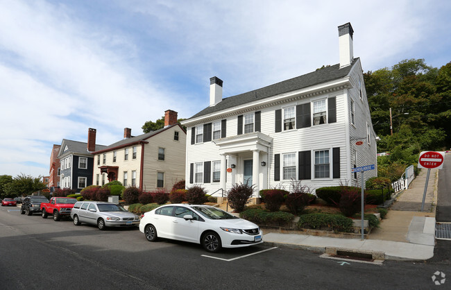
$1,500 / Month
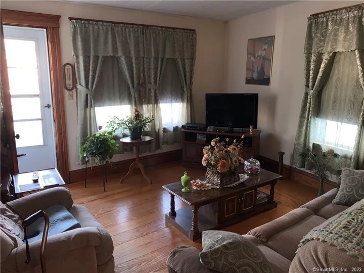
9 Dyer St Unit 2
Killingly, CT 06239
2 Weeks Ago
Favorites
9 Dyer St Unit 2

Favorites
Check Back Soon for Upcoming Availability
| Beds | Baths | Average SF |
|---|---|---|
| 3 Bedrooms 3 Bedrooms 3 Br | 1 Bath 1 Bath 1 Ba | 1,500 SF |
About This Property
9 Dyer St is an apartment community located in Windham County and the 06239 ZIP Code.
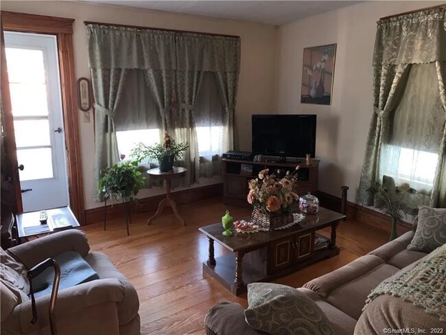
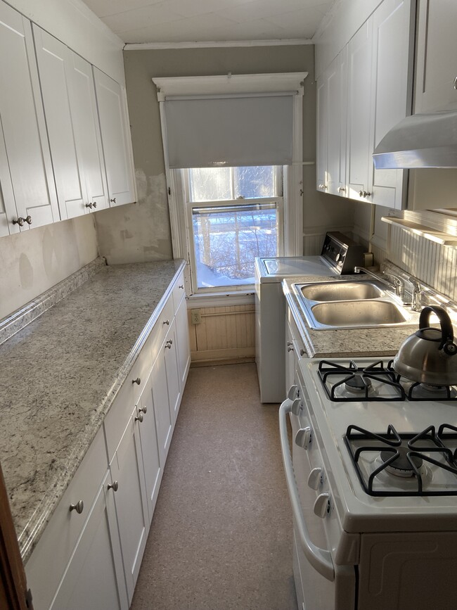
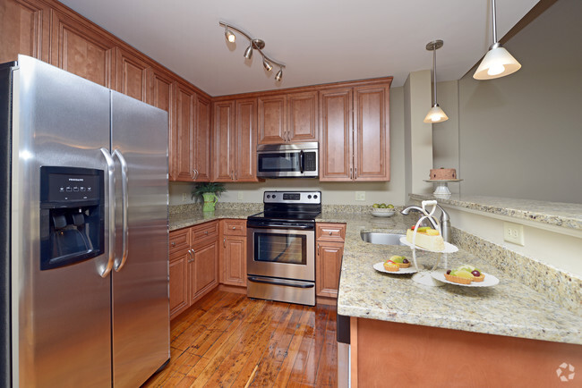
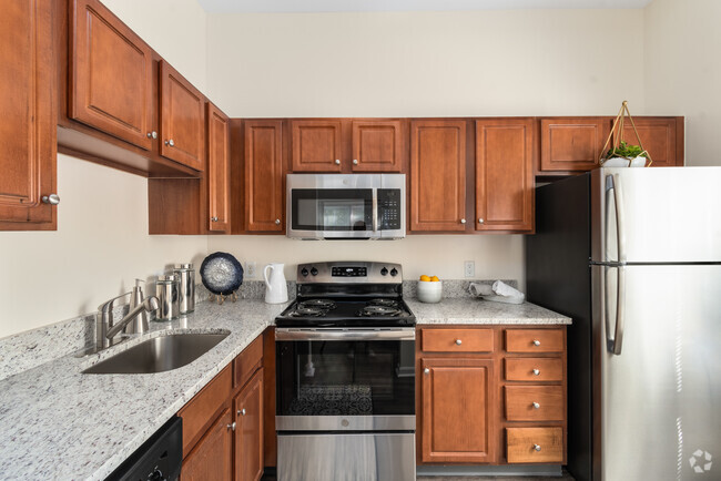
Apartment Features
Washer/Dryer
Hardwood Floors
Refrigerator
Office
- Washer/Dryer
- Smoke Free
- Cable Ready
- Storage Space
- Refrigerator
- Hardwood Floors
- Office
- Attic
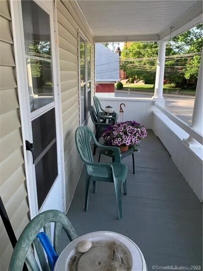
- Porch
Fees and Policies
The fees below are based on community-supplied data and may exclude additional fees and utilities.
- Dogs Allowed
-
Fees not specified
- Cats Allowed
-
Fees not specified
- Parking
-
Surface Lot--
Details
Utilities Included
-
Water
-
Trash Removal
-
Sewer
Property Information
-
2 units
Location
Get Directions
Amenities
- Washer/Dryer
- Smoke Free
- Cable Ready
- Storage Space
- Refrigerator
- Hardwood Floors
- Office
- Attic
- Porch
Expenses
Utilities Included
Water, Trash Removal, Sewer
Included
Education
| Colleges & Universities | Distance | ||
|---|---|---|---|
| Colleges & Universities | Distance | ||
| Drive: | 32 min | 21.0 mi | |
| Drive: | 35 min | 25.5 mi | |
| Drive: | 39 min | 26.6 mi | |
| Drive: | 41 min | 28.8 mi |
9 Dyer St Unit 2 is within 32 minutes or 21.0 miles from Eastern Connecticut. It is also near University of Connecticut and Bryant University.
You May Also Like
Similar Rentals Nearby


What Are Walk Score®, Transit Score®, and Bike Score® Ratings?
Walk Score® measures the walkability of any address. Transit Score® measures access to public transit. Bike Score® measures the bikeability of any address.
What is a Sound Score Rating?
A Sound Score Rating aggregates noise caused by vehicle traffic, airplane traffic and local sources
9 Dyer St
Killingly, CT 06239