
$3,500 / Month
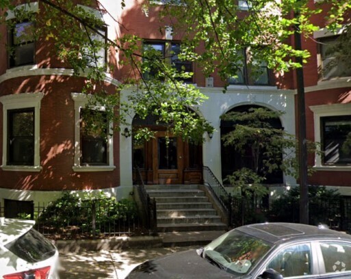
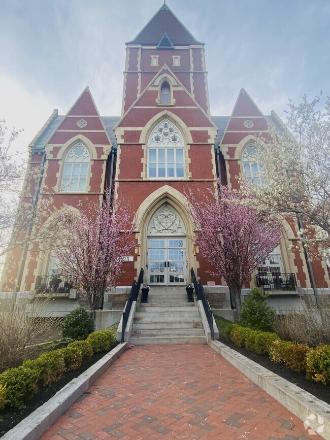
9 Dean Rd
Brookline, MA 02445
Today
Favorites
-
Bedrooms
2
-
Bathrooms
2
-
Square Feet
900 sq ft
9 Dean Rd

Favorites
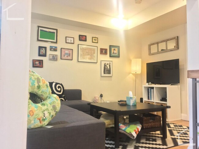
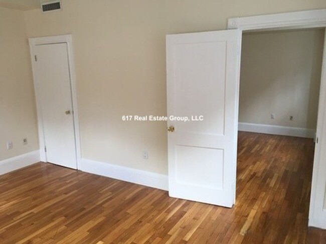
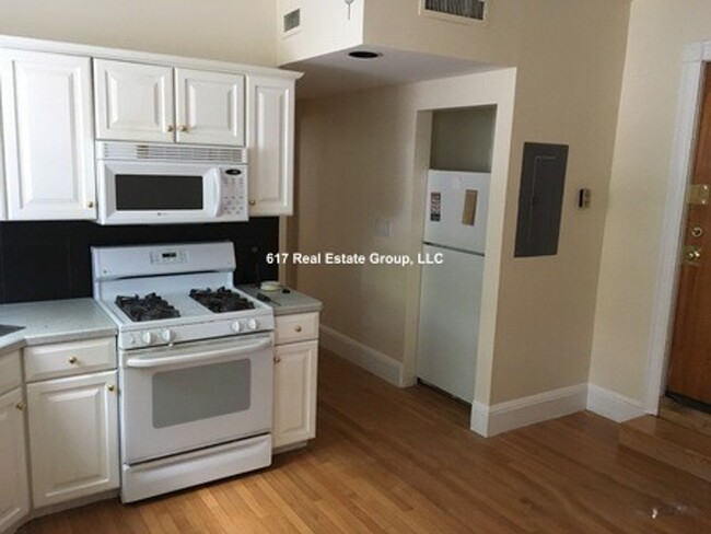
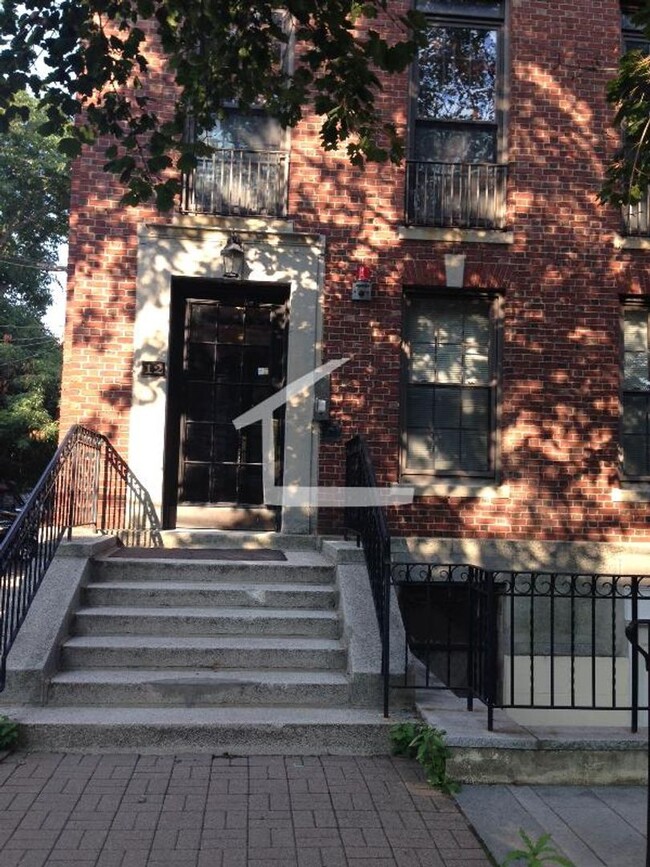
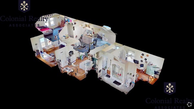
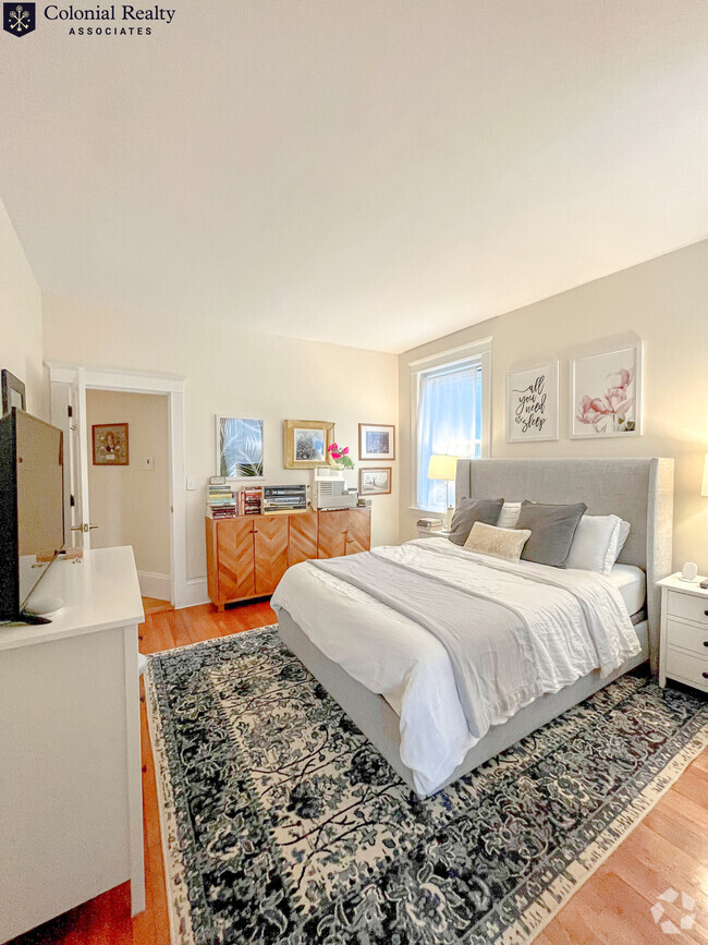
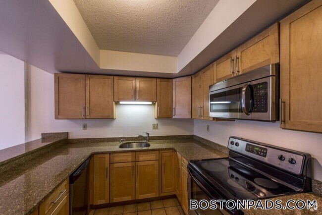
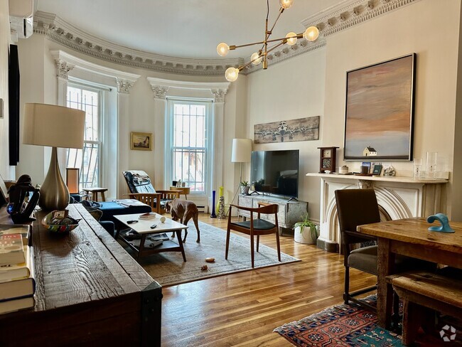
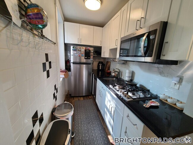
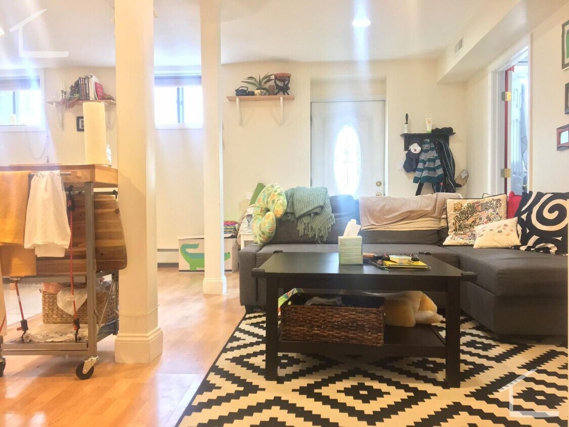
About This Home
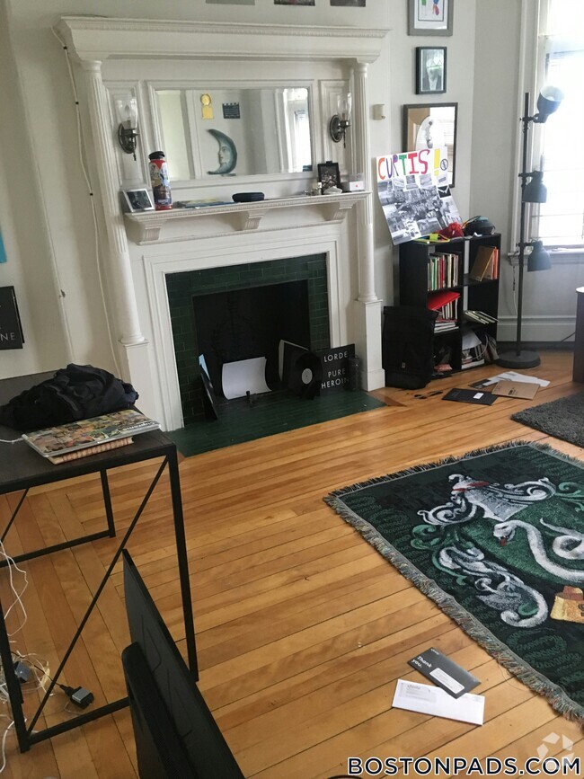
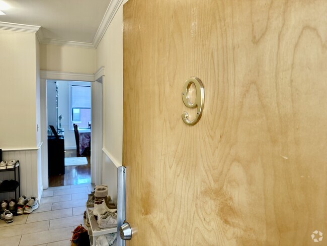
Available September 1 Garden Level Unit Large 2-bedroom 2 Full Bathrooms Living Room Dining room, Central Heat/AC One parking space included De-leaded, Laundry is in the Building Steps from Green Line Stop PROPERTY INFO ID: 401591156 Rent: $3,500 / Month Beds: 2 Bath: 2 Available Date: 09/01/2025 Pet: Negotiable Parking:: off-street parking FEATURES Central Air Dining Room Dishwasher Disposal Eat-In Kitchen Hardwood Floors Laundry in Building Microwave multiple closets Oven/Range
9 Dean Rd is a condo located in Norfolk County and the 02445 ZIP Code.
* Price shown is base rent and may not include non-optional fees and utilities.
Price, availability, fees, and any applicable rent special are subject to change without notice.
* Square footage definitions vary. Displayed square footage is approximate.
Location
Get Directions
Cleveland Circle is a colorful neighborhood in western Brookline. Home to plenty of restaurants and stores along its main thoroughfare, Beacon Street, Cleveland Circle is a buzzing and convenient locale for Massachusetts residents who don’t want to be in the heart of the action in Boston, but still want plenty of entertainment options just outside their front door. You’ll find charming apartments of the long-standing variety here. All residents enjoy proximity to the C Line on Boston’s light rail transit. This is a perfect spot for those who work and play in the city but want a little more bang for their buck, but not at the sake of convenience.
Learn more about living in Cleveland Circle
Education
| Colleges & Universities | Distance | ||
|---|---|---|---|
| Colleges & Universities | Distance | ||
| Drive: | 4 min | 1.6 mi | |
| Drive: | 3 min | 1.7 mi | |
| Drive: | 5 min | 2.6 mi | |
| Drive: | 5 min | 2.6 mi |
9 Dean Rd is within 4 minutes or 1.6 miles from Boston College, Brighton. It is also near Boston College and Boston University.
Transportation options available in Brookline include Dean Road Station, located 0.0 mile from 9 Dean Rd. 9 Dean Rd is near General Edward Lawrence Logan International, located 8.4 miles or 18 minutes away.
| Transit / Subway | Distance | ||
|---|---|---|---|
| Transit / Subway | Distance | ||
|
|
Walk: | 2 min | 0.0 mi |
|
|
Walk: | 2 min | 0.2 mi |
|
|
Walk: | 4 min | 0.2 mi |
|
|
Walk: | 4 min | 0.2 mi |
|
|
Walk: | 10 min | 0.5 mi |
| Commuter Rail | Distance | ||
|---|---|---|---|
| Commuter Rail | Distance | ||
|
|
Drive: | 6 min | 3.4 mi |
|
|
Drive: | 8 min | 3.9 mi |
|
|
Drive: | 10 min | 4.2 mi |
|
|
Drive: | 8 min | 4.4 mi |
| Drive: | 11 min | 5.0 mi |
| Airports | Distance | ||
|---|---|---|---|
| Airports | Distance | ||
|
General Edward Lawrence Logan International
|
Drive: | 18 min | 8.4 mi |
Time and distance from 9 Dean Rd.
| Shopping Centers | Distance | ||
|---|---|---|---|
| Shopping Centers | Distance | ||
| Walk: | 8 min | 0.4 mi | |
| Walk: | 9 min | 0.5 mi | |
| Drive: | 5 min | 1.8 mi |
9 Dean Rd has 3 shopping centers within 1.8 miles, which is about a 5-minute walk. The miles and minutes will be for the farthest away property.
| Parks and Recreation | Distance | ||
|---|---|---|---|
| Parks and Recreation | Distance | ||
|
Chestnut Hill Reservation
|
Walk: | 10 min | 0.6 mi |
|
Frederick Law Olmsted National Historic Site
|
Walk: | 22 min | 1.1 mi |
|
John Fitzgerald Kennedy National Historic Site
|
Drive: | 3 min | 1.5 mi |
|
Hammond Pond Reservation
|
Drive: | 4 min | 2.6 mi |
|
Coit Observatory
|
Drive: | 6 min | 3.0 mi |
9 Dean Rd has 5 parks within 3.0 miles, including Chestnut Hill Reservation, Frederick Law Olmsted National Historic Site, and John Fitzgerald Kennedy National Historic Site.
| Hospitals | Distance | ||
|---|---|---|---|
| Hospitals | Distance | ||
| Drive: | 3 min | 1.2 mi | |
| Drive: | 3 min | 1.2 mi | |
| Drive: | 4 min | 2.1 mi |
9 Dean Rd has 3 hospitals within 2.1 miles, the nearest is Franciscan Children's Hospital & Rehab Center which is 1.2 miles away and a 3 minute drive.
| Military Bases | Distance | ||
|---|---|---|---|
| Military Bases | Distance | ||
| Drive: | 23 min | 13.2 mi | |
| Drive: | 29 min | 16.1 mi |
9 Dean Rd is 13.2 miles from US Military Reservation, and is convenient to other military bases, including Hanscom Air Force Base.
You May Also Like
Similar Rentals Nearby

What Are Walk Score®, Transit Score®, and Bike Score® Ratings?
Walk Score® measures the walkability of any address. Transit Score® measures access to public transit. Bike Score® measures the bikeability of any address.
What is a Sound Score Rating?
A Sound Score Rating aggregates noise caused by vehicle traffic, airplane traffic and local sources
9 Dean Rd
Brookline, MA 02445