


$1,750 / Month

8268 Rippling Branch Rd

,

Laurel, MD 20723

Share Listing
Favorites
410-336-7211
  • Bedrooms

    1

  • Bathrooms

    1

  • Square Feet

    800 sq ft

  • Available

    Available Now

Highlight

  • Basement
8268 Rippling Branch Rd
Share Listing
Favorites

About This Home

Available Now

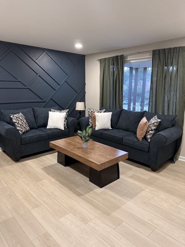
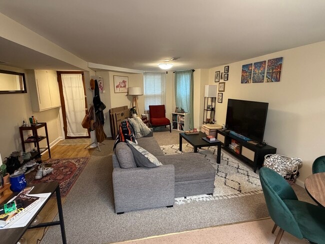
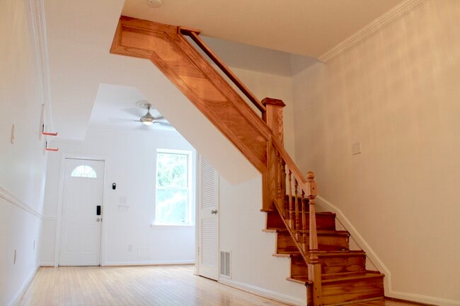
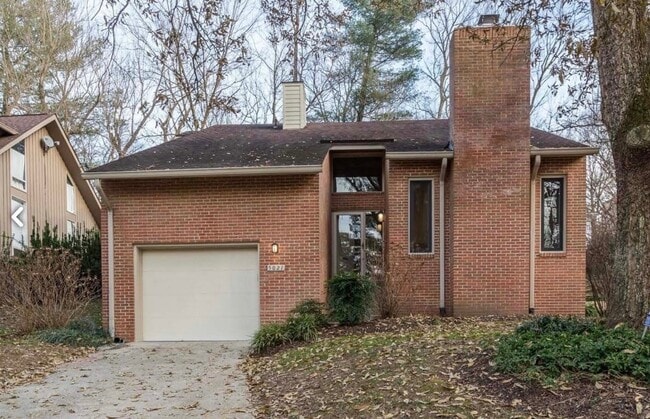
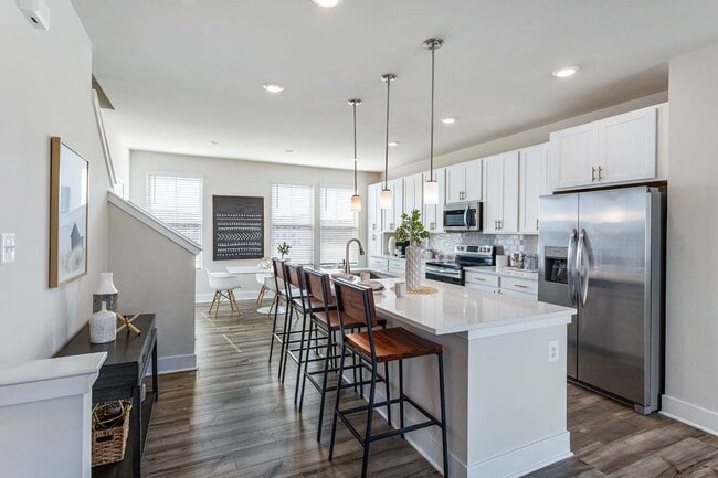
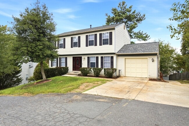
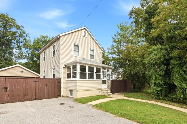
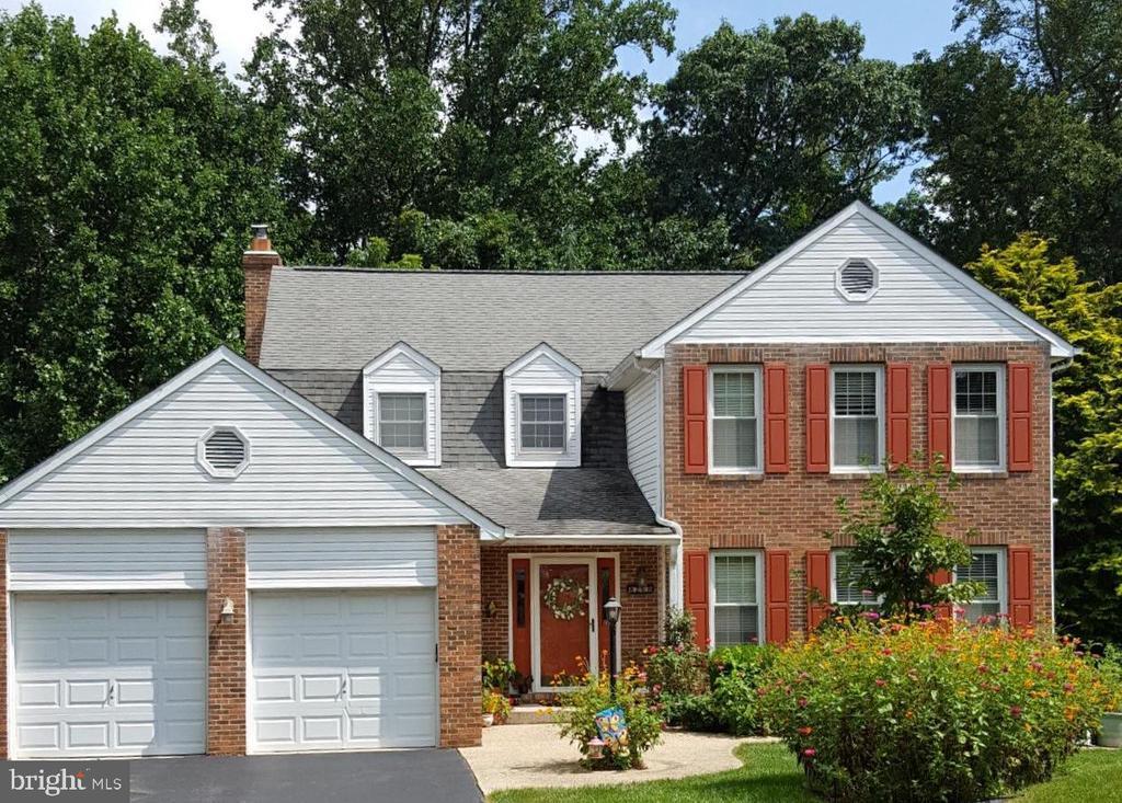
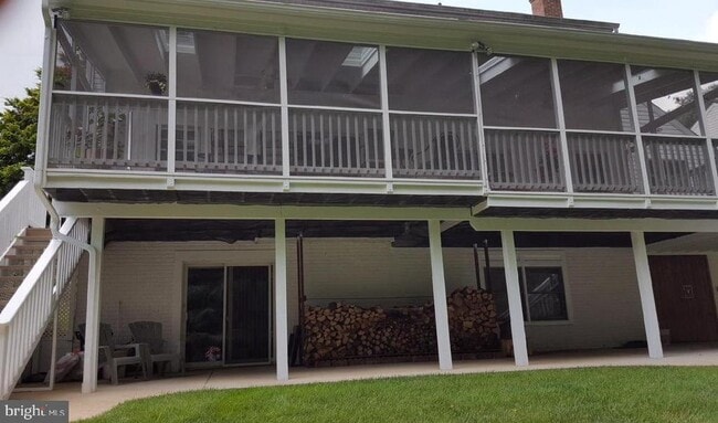
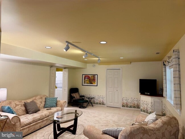
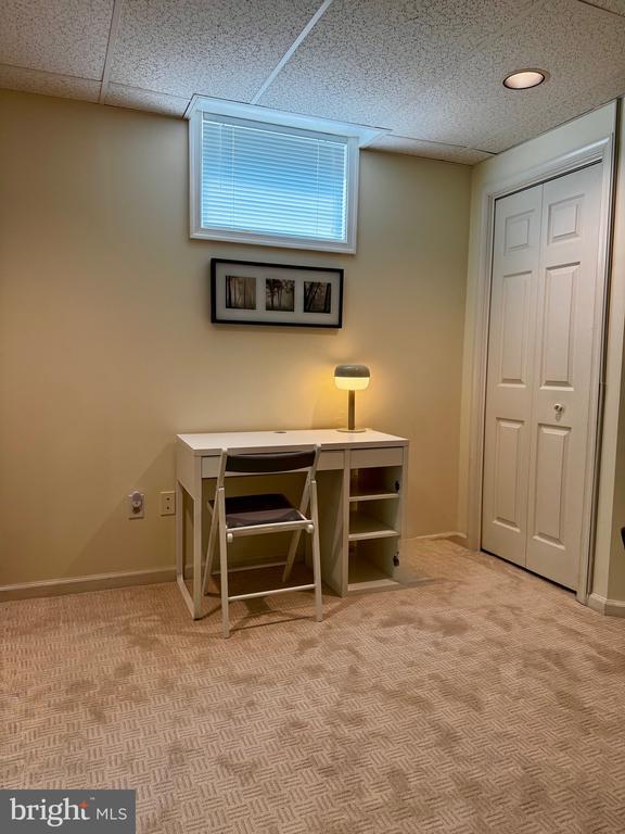
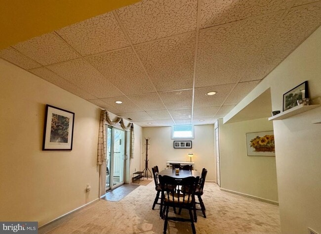
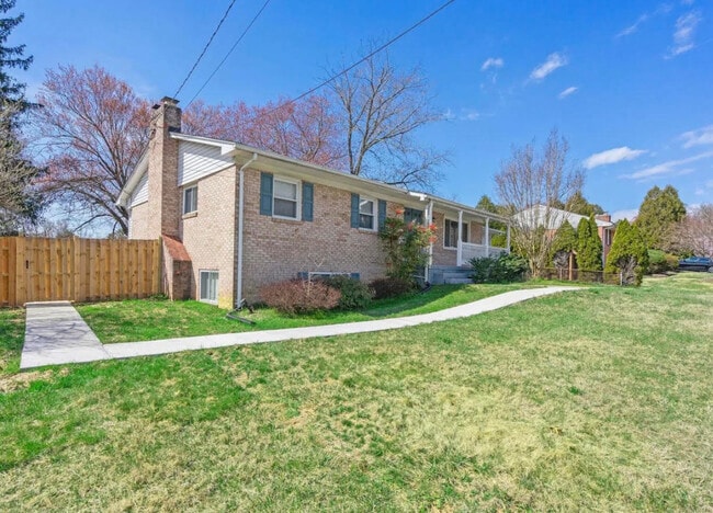
800 sqft, Newly Remodeled, Furnished One bedroom one bath lower level apartment in Fulton area. with large living and dining rooms, kitchenette, & laundry . Bright and inviting, with brand new Carpet and flooring and fresh paint, great location in Howard County. Located off 216, between two major highways, 95 and 29; Baltimore or D.C. Minutes from ICC and Downtown Columbia. Rent includes all utilities. Tenant to provide their own internet. Parking space for 1 car only.

8268 Rippling Branch Rd is a house located in Howard County and the 20723 ZIP Code. This area is served by the Howard County Public Schools attendance zone.

* Price shown is base rent. Excludes user-selected optional fees and variable or usage-based fees and required charges due at or prior to move-in or at move-out. Price, availability, fees, and any applicable rent special are subject to change without notice.
* Square footage definitions vary. Displayed square footage is approximate.

House Features

  • Dishwasher
  • Basement

Contact

  • Listed by Laleh M Alemzadeh | Long & Foster Real Estate, Inc.
  • Phone Number
  • Contact
  • Source
    Bright MLS, Inc.
Copyright © 2026 Bright MLS, Inc.
| Edit

Under 30 minutes

Commute Time is calculated at rush hour.
Neighborhood

North Laurel lies 20 miles southwest of Baltimore and roughly the same distance from Washington, DC. This suburban swath of Laurel offers upscale houses and apartments for rent, all with spacious lots and plenty of breathing room for residents. Well-maintained green spaces and an overall sense of the natural world make North Laurel a sought-after Maryland locale.

You’ll find the majority of the shopping and dining opportunities in neighboring communities, but there are a few local spots to be found along Scaggsville Road. There are plenty of parks along the Patuxent River, but when it comes time to head to the city, the Columbia Pike and Interstate 95 will ferry you anywhere with ease.

Learn more about living in North Laurel 
Amenities
  • Dishwasher
  • Basement
Education
Colleges & Universities Distance
Drive: 14 min 7.3 mi
Drive: 26 min 14.4 mi
Drive: 26 min 15.2 mi
Drive: 25 min 16.5 mi
8268 Rippling Branch Rd is within 14 minutes or 7.3 miles from Howard Community College. It is also near Bowie State University and University of Maryland.
Schools
Public Elementary School
Grades K-5
651 Students
Attendance Zone
Public Elementary, Middle & High School
Grades PK-12
133 Students
Nearby
Public Middle School
Grades 6-8
570 Students
Attendance Zone
Public High School
Grades 9-12
1,837 Students
Attendance Zone
Private Elementary & Middle School
Grades K-8
235 Students
Nearby
Private Elementary & Middle School
Grades PK-8
232 Students
Nearby
Private Elementary, Middle & High School
Grades K-12
4 Students
Nearby
Transportation

Transportation options available in Laurel include Dorsey, located 12.5 miles from 8268 Rippling Branch Rd. 8268 Rippling Branch Rd is near Baltimore/Washington International Thurgood Marshall, located 18.7 miles or 27 minutes away, and Ronald Reagan Washington Ntl, located 25.9 miles or 44 minutes away.

Transit / Subway Distance
Drive: 19 min 12.5 mi
Drive: 20 min 13.9 mi
Commuter Rail Distance
Drive: 10 min 4.9 mi
Drive: 14 min 6.0 mi
Drive: 16 min 9.1 mi
Muirkirk Marc Nb
Drive: 15 min 9.4 mi
Drive: 18 min 10.3 mi
Airports Distance
Airports Distance
Baltimore/Washington International Thurgood Marshall
Drive: 27 min 18.7 mi
Ronald Reagan Washington Ntl
Drive: 44 min 25.9 mi
Getting Around
Somewhat Walkable
Walkability
30 / 100
Minimal Public Transit
Transit
0 / 100
Exceptionally Drivable
Drivability
100 / 100
Moderately Bikeable
Bikeability
60 / 100

Scores provided by

What do Walkability, Transit, Drivability, and Bikeability mean? Walkability measures the walking distance to day-to-day needs. Transit measures access to public transportation. Drivability measures congestion, parking availability, and access to major roads. Bikeability measures the suitability for cycling. How It Works
-
Soundscore
- / 100

Traffic

-

Airport

-

Businesses

-

Scores provided by

HowLoud What is a Sound Score Rating? A Sound Score Rating aggregates noise caused by vehicle traffic, airplane traffic and local sources. How It Works
Points of Interest

Time and distance from 8268 Rippling Branch Rd.

Shopping Centers Distance
Drive: 4 min 1.3 mi
Drive: 4 min 1.3 mi
Drive: 5 min 1.7 mi
8268 Rippling Branch Rd has 3 shopping centers within 1.7 miles, which is about a 5-minute drive. The miles and minutes will be for the farthest away property.
Parks and Recreation Distance
Browns Bridge Recreation Area
Drive: 11 min 5.3 mi
Fairland Regional Park
Drive: 13 min 7.2 mi
Maydale Conservation Park and Nature Center
Drive: 16 min 8.7 mi
Brighton Dam's Azalea Garden
Drive: 18 min 9.0 mi
Clark's Elioak Farm
Drive: 17 min 11.0 mi
8268 Rippling Branch Rd has 5 parks within 11.0 miles, including Browns Bridge Recreation Area, Fairland Regional Park, and Clark's Elioak Farm.
Hospitals Distance
Hospitals Distance
Drive: 14 min 7.5 mi
Drive: 15 min 7.8 mi
Drive: 16 min 9.4 mi
8268 Rippling Branch Rd has 3 hospitals within 9.4 miles, the nearest is Laurel Regional Medical Center which is 7.5 miles away and a 14 minute drive.
Military Bases Distance
Drive: 22 min 13.4 mi
Drive: 31 min 19.2 mi
Drive: 38 min 22.6 mi
8268 Rippling Branch Rd has 3 military bases within 22.6 miles, the nearest is Fort George Meade which is 13.4 miles away and a 22 minute drive.

You May Also Like

Similar Rentals Nearby