-
82 STREET

-
-
$1,500
/ Month
1466-1482 82nd St Unit 2
Brooklyn, NY 11228
2 Weeks Ago
|
Edit
Favorites
82 STREET

Favorites
Check Back Soon for Upcoming Availability
| Beds | Baths | Average SF |
|---|---|---|
| 1 Bedroom 1 Bedroom 1 Br | 1 Bath 1 Bath 1 Ba | — |
About This Property
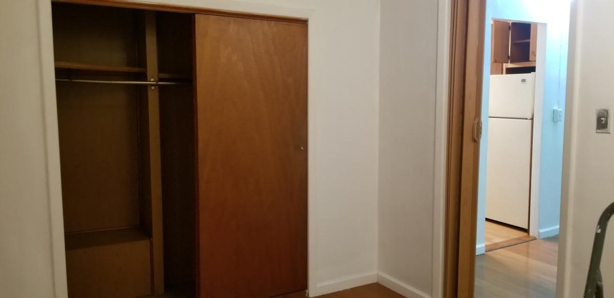
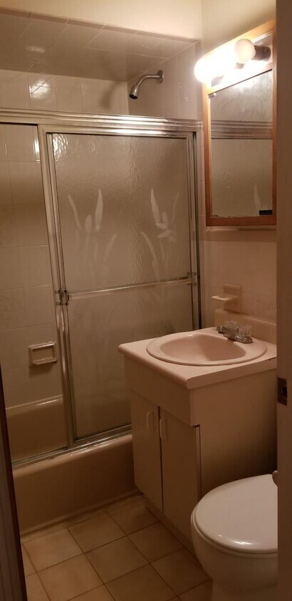
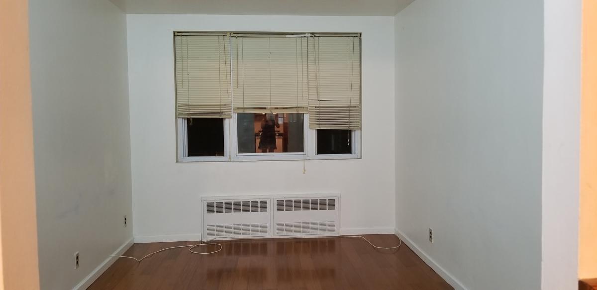
Great value one bedroom for rent in Bensonhurst.===Ref:663846===
82 STREET is an apartment community located in Kings County and the 11228 ZIP Code.
1466-1482 82nd St,
Brooklyn,
NY
11228
Bensonhurst may only stretch 25 blocks, but it’s filled with activity, diversity, and a lively community. This neighborhood is known for being home at one point or another to an array of celebrities, including Larry King, the Three Stooges, and Joey Fatone, and it’s been used as the setting for several movies and television shows. Bensonhurst is as unique as it is dynamic. Located in Southwest Brooklyn, Bensonhurst sits at the southern tip of the borough, just four blocks from the bay. Apartments in Bensonhurst are highly sought-after due to reasonable rents and larger floor plans. The neighborhood also offers good schools, easy access to Manhattan via the D-train or N-train, and a variety of historic sites.
Learn more about living in BensonhurstBelow are rent ranges for similar nearby apartments
Education
| Colleges & Universities | Distance | ||
|---|---|---|---|
| Colleges & Universities | Distance | ||
| Drive: | 12 min | 5.1 mi | |
| Drive: | 12 min | 5.2 mi | |
| Drive: | 13 min | 6.0 mi | |
| Drive: | 12 min | 6.6 mi |
82 STREET is within 12 minutes or 5.1 miles from Brooklyn College. It is also near Medgar Evers College, CUNY and Kingsborough Community College.
Transportation options available in Brooklyn include 79 Street (D,M Line), located 0.5 mile from 82 STREET. 82 STREET is near John F Kennedy International, located 19.5 miles or 28 minutes away, and Newark Liberty International, located 20.4 miles or 32 minutes away.
| Transit / Subway | Distance | ||
|---|---|---|---|
| Transit / Subway | Distance | ||
|
|
Walk: | 10 min | 0.5 mi |
|
|
Walk: | 11 min | 0.6 mi |
|
|
Walk: | 14 min | 0.7 mi |
|
|
Drive: | 3 min | 1.2 mi |
|
|
Drive: | 3 min | 1.2 mi |
| Commuter Rail | Distance | ||
|---|---|---|---|
| Commuter Rail | Distance | ||
|
|
Drive: | 11 min | 5.3 mi |
|
|
Drive: | 11 min | 5.7 mi |
|
|
Drive: | 13 min | 6.4 mi |
|
|
Drive: | 16 min | 7.0 mi |
|
|
Drive: | 18 min | 7.6 mi |
| Airports | Distance | ||
|---|---|---|---|
| Airports | Distance | ||
|
John F Kennedy International
|
Drive: | 28 min | 19.5 mi |
|
Newark Liberty International
|
Drive: | 32 min | 20.4 mi |
Walkability Near 82 STREET
Getting Around
 What do Walkability, Transit, Drivability, and Bikeability mean?
Walkability measures the walking distance to day-to-day needs.
Transit measures access to public transportation.
Drivability measures congestion, parking availability, and access to major roads.
Bikeability measures the suitability for cycling.
How It Works
What do Walkability, Transit, Drivability, and Bikeability mean?
Walkability measures the walking distance to day-to-day needs.
Transit measures access to public transportation.
Drivability measures congestion, parking availability, and access to major roads.
Bikeability measures the suitability for cycling.
How It Works
Exceptionally Walkable
Walkability
100
/ 100
Strong Public Transit
Transit
80
/ 100
Fairly Drivable
Drivability
40
/ 100
Moderately Bikeable
Bikeability
60
/ 100
Scores provided by
-
Soundscore™
-
/ 100
Traffic
-Airport
-Businesses
-Scores provided by
HowLoud What is a Sound Score Rating? A Sound Score Rating aggregates noise caused by vehicle traffic, airplane traffic and local sources. How It WorksTime and distance from 82 STREET.
| Shopping Centers | Distance | ||
|---|---|---|---|
| Shopping Centers | Distance | ||
| Drive: | 3 min | 1.3 mi | |
| Drive: | 3 min | 1.4 mi | |
| Drive: | 4 min | 1.8 mi |
82 STREET has 3 shopping centers within 1.8 miles, which is about a 4-minute drive. The miles and minutes will be for the farthest away property.
| Parks and Recreation | Distance | ||
|---|---|---|---|
| Parks and Recreation | Distance | ||
|
Dyker Beach Park
|
Drive: | 3 min | 1.3 mi |
|
Owl's Head Park
|
Drive: | 7 min | 3.3 mi |
|
Calvert Vaux Park
|
Drive: | 7 min | 3.4 mi |
|
Sunset Park
|
Drive: | 8 min | 3.5 mi |
|
Narrows Botanical Gardens
|
Drive: | 7 min | 4.2 mi |
82 STREET has 5 parks within 4.2 miles, including Dyker Beach Park, Narrows Botanical Gardens, and Owl's Head Park.
| Hospitals | Distance | ||
|---|---|---|---|
| Hospitals | Distance | ||
| Drive: | 6 min | 2.4 mi | |
| Drive: | 9 min | 4.0 mi | |
| Drive: | 8 min | 4.6 mi |
82 STREET has 3 hospitals within 4.6 miles, the nearest is Maimonides Medical Center which is 2.4 miles away and a 6 minute drive.
| Military Bases | Distance | ||
|---|---|---|---|
| Military Bases | Distance | ||
| Drive: | 5 min | 1.8 mi | |
| Drive: | 14 min | 6.5 mi |
82 STREET is 1.8 miles from Fort Hamilton, and is convenient to other military bases, including Naval Station NY Stapleton Site.
You May Also Like
Similar Rentals Nearby


What Are Walk Score®, Transit Score®, and Bike Score® Ratings?
Walk Score® measures the walkability of any address. Transit Score® measures access to public transit. Bike Score® measures the bikeability of any address.
What is a Sound Score Rating?
A Sound Score Rating aggregates noise caused by vehicle traffic, airplane traffic and local sources.
1466-1482 82nd St
Brooklyn, NY 11228