
Brookside
5600 Orangethorpe Ave,
La Palma, CA 90623
$2,190 - $2,765
1-2 Beds
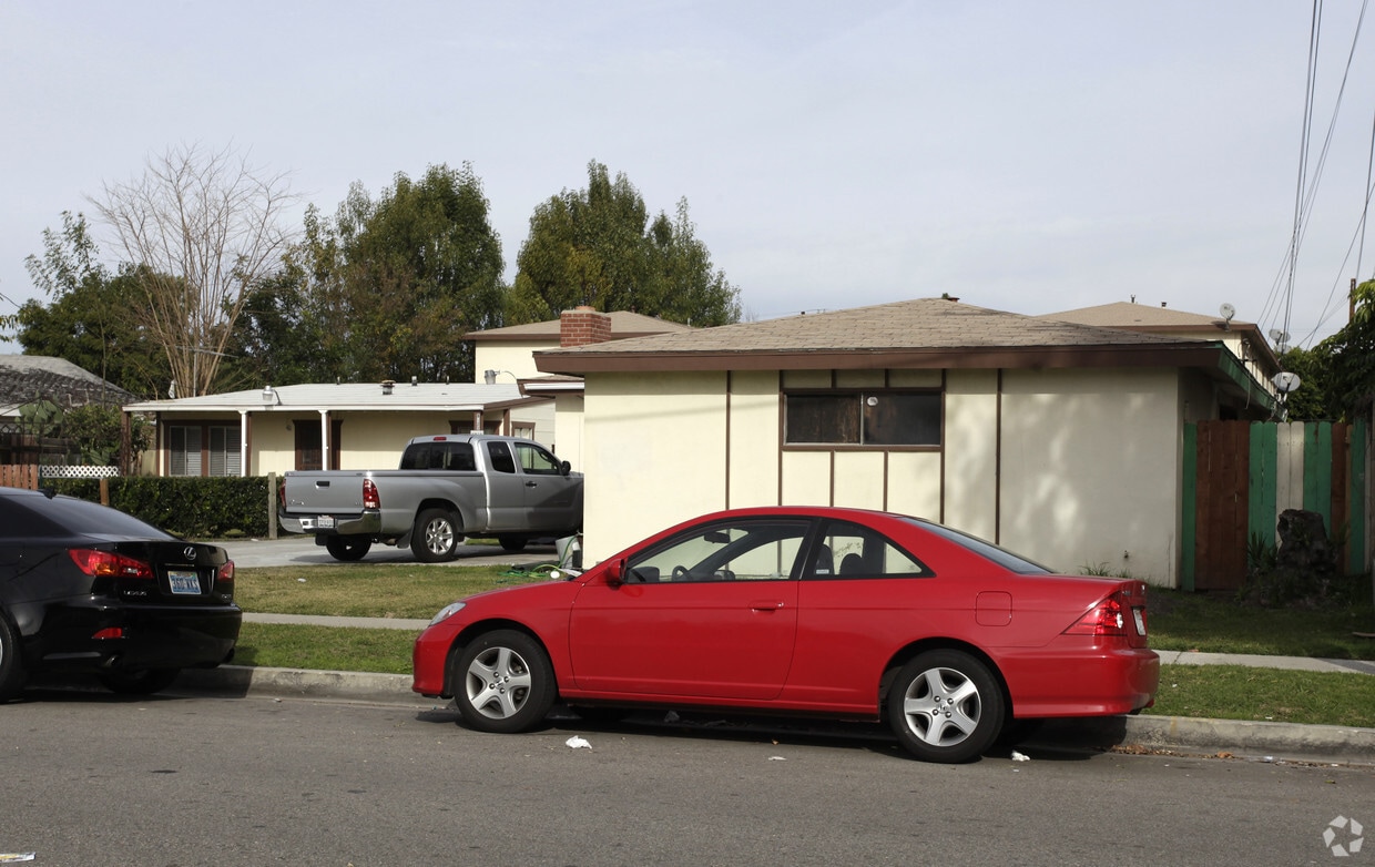
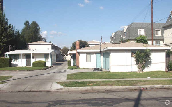
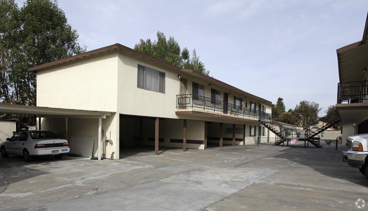
Come enjoy Buena Park living at 8121-8135 4th St. The 8121-8135 4th St. location in Buena Park's 90621 Zip code is an ideal place for residents. Be sure to come for a visit to see the current floorplan options. Here at this community, the leasing staff is ready to match you with the perfect place. Experience a better way of living at 8121-8135 4th St. Stop by the leasing office to schedule a tour today.
8121-8135 4th St is an apartment community located in Orange County and the 90621 ZIP Code. This area is served by the Buena Park Elementary attendance zone.
High Speed Internet Access
Disposal
Smoke Free
Heating
Regarded as both an entertainment wonderland and the birthplace of the boysenberry, Buena Park is a SoCal suburb with a fascinating story. Located just west of Anaheim, Buena Park has a rich history as a rural town that evolved into a theme park destination. Knott’s Berry Farm, Buena Park’s most renowned landmark, began as a small family-owned berry farm. Today, Knott’s Berry Farm is known as California’s first theme park, drawing visitors from all over the world to enjoy its world-class rides, interactive experiences, shows, and delectable eats.
Outside of its Entertainment Corridor (which also includes Medieval Times, Pirate’s Dinner Adventure, Teatro Martini, and Knott’s Soak City water park), Buena Park offers residents access to a host of suburban conveniences in a central locale. Shopping options abound at Buena Park Mall, in addition to nearby Amerige Heights Town Center and Los Cerritos Center. Potential for outdoor recreation is endless at Ralph B Clark Park.
Learn more about living in Buena Park| Colleges & Universities | Distance | ||
|---|---|---|---|
| Colleges & Universities | Distance | ||
| Drive: | 8 min | 3.9 mi | |
| Drive: | 10 min | 4.8 mi | |
| Drive: | 10 min | 4.9 mi | |
| Drive: | 14 min | 6.8 mi |


Transportation options available in Buena Park include Norwalk, located 8.1 miles from 8121-8135 4th St. 8121-8135 4th St is near Long Beach (Daugherty Field), located 14.9 miles or 25 minutes away, and John Wayne/Orange County, located 19.3 miles or 24 minutes away.
| Transit / Subway | Distance | ||
|---|---|---|---|
| Transit / Subway | Distance | ||
|
|
Drive: | 13 min | 8.1 mi |
|
|
Drive: | 15 min | 10.0 mi |
| Commuter Rail | Distance | ||
|---|---|---|---|
| Commuter Rail | Distance | ||
|
|
Walk: | 17 min | 0.9 mi |
|
|
Drive: | 9 min | 4.3 mi |
|
|
Drive: | 11 min | 6.4 mi |
|
|
Drive: | 15 min | 9.8 mi |
| Drive: | 15 min | 9.9 mi |
| Airports | Distance | ||
|---|---|---|---|
| Airports | Distance | ||
|
Long Beach (Daugherty Field)
|
Drive: | 25 min | 14.9 mi |
|
John Wayne/Orange County
|
Drive: | 24 min | 19.3 mi |
Time and distance from 8121-8135 4th St.
| Shopping Centers | Distance | ||
|---|---|---|---|
| Shopping Centers | Distance | ||
| Walk: | 7 min | 0.4 mi | |
| Drive: | 3 min | 1.2 mi | |
| Drive: | 3 min | 1.3 mi |
| Parks and Recreation | Distance | ||
|---|---|---|---|
| Parks and Recreation | Distance | ||
|
Children's Museum at La Habra
|
Drive: | 11 min | 6.2 mi |
|
La Habra Historical Museum
|
Drive: | 11 min | 6.5 mi |
|
Fullerton Arboretum
|
Drive: | 15 min | 8.1 mi |
|
Craig Regional Park
|
Drive: | 16 min | 8.5 mi |
|
El Dorado Nature Center
|
Drive: | 18 min | 10.6 mi |
| Hospitals | Distance | ||
|---|---|---|---|
| Hospitals | Distance | ||
| Drive: | 7 min | 3.8 mi | |
| Drive: | 8 min | 4.5 mi | |
| Drive: | 9 min | 4.8 mi |
| Military Bases | Distance | ||
|---|---|---|---|
| Military Bases | Distance | ||
| Drive: | 16 min | 8.5 mi |
What Are Walk Score®, Transit Score®, and Bike Score® Ratings?
Walk Score® measures the walkability of any address. Transit Score® measures access to public transit. Bike Score® measures the bikeability of any address.
What is a Sound Score Rating?
A Sound Score Rating aggregates noise caused by vehicle traffic, airplane traffic and local sources

8121-8135 4th St
Buena Park, CA 90621


