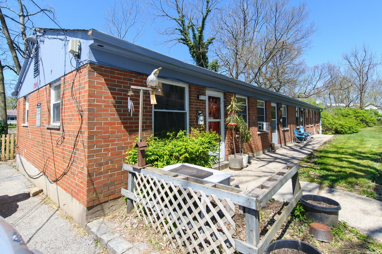
776 Hand Ave
776 Hand Ave,
Cincinnati,
OH
45232
2 Weeks Ago
Favorites
776 Hand Ave

Favorites
Check Back Soon for Upcoming Availability
Fees and Policies
The fees below are based on community-supplied data and may exclude additional fees and utilities.
- Parking
-
Surface Lot--
Details
Lease Options
-
12 Months
About 776 Hand Ave Cincinnati, OH 45232
776 Hand Ave, located in Cincinnati, are ranch style one bedroom, one bath units. These are beautiful units that rent for $550-$575 depending on the amenities that the specific unit contains. We are offering a $0 down option for qualifying tenants (please call Jamie for further details.) Rental qualifications: NO felonies NO evictions or drug related misdemeanors in 7 years must make 3X the rent You cannot owe Duke Energy money
776 Hand Ave is an apartment community located in Hamilton County and the 45232 ZIP Code.
Location
Get Directions
Located about seven miles north of Downtown Cincinnati, Winton Place is a primarily residential neighborhood with a rich history. Winton Place, also known as Spring Grove Village, is home to the nationally recognized Spring Grove Cemetery and Arboretum, which offers guided tours and hosts a variety of events throughout the year.
Winton Place is convenient to numerous Cincinnati area attractions, including the American Sign Museum, Mount Storm Park, and the Cincinnati Zoo and Botanical Garden. Quick access to I-75 and I-74 makes getting around from Winton Place simple.
Learn more about living in Winton Place
Education
| Colleges & Universities | Distance | ||
|---|---|---|---|
| Colleges & Universities | Distance | ||
| Drive: | 9 min | 3.2 mi | |
| Drive: | 9 min | 3.8 mi | |
| Drive: | 10 min | 3.9 mi | |
| Drive: | 11 min | 4.2 mi |
776 Hand Ave is within 9 minutes or 3.2 miles from Cincinnati State. It is also near Univ. of Cincinnati, Medical and University of Cincinnati.
Transportation options available in Cincinnati include Findlay Market-Race Station, Race & Elder, located 4.9 miles from 776 Hand Ave. 776 Hand Ave is near Cincinnati/Northern Kentucky International, located 20.9 miles or 37 minutes away.
| Transit / Subway | Distance | ||
|---|---|---|---|
| Transit / Subway | Distance | ||
| Drive: | 12 min | 4.9 mi | |
| Drive: | 12 min | 5.0 mi | |
| Drive: | 13 min | 5.0 mi | |
| Drive: | 12 min | 5.1 mi | |
| Drive: | 13 min | 5.4 mi |
| Commuter Rail | Distance | ||
|---|---|---|---|
| Commuter Rail | Distance | ||
|
|
Drive: | 12 min | 6.9 mi |
| Airports | Distance | ||
|---|---|---|---|
| Airports | Distance | ||
|
Cincinnati/Northern Kentucky International
|
Drive: | 37 min | 20.9 mi |
Time and distance from 776 Hand Ave.
| Shopping Centers | Distance | ||
|---|---|---|---|
| Shopping Centers | Distance | ||
| Drive: | 5 min | 2.4 mi | |
| Drive: | 6 min | 2.8 mi | |
| Drive: | 7 min | 2.8 mi |
776 Hand Ave has 3 shopping centers within 2.8 miles, which is about a 7-minute drive. The miles and minutes will be for the farthest away property.
| Parks and Recreation | Distance | ||
|---|---|---|---|
| Parks and Recreation | Distance | ||
|
Burnet Woods
|
Drive: | 7 min | 3.0 mi |
|
LaBoiteaux Woods
|
Drive: | 7 min | 3.1 mi |
|
Buttercup Valley
|
Drive: | 8 min | 3.1 mi |
|
Caldwell Preserve
|
Drive: | 7 min | 3.7 mi |
|
Avon Woods Natural Area/Preserve
|
Drive: | 9 min | 4.4 mi |
776 Hand Ave has 5 parks within 4.4 miles, including Buttercup Valley, Burnet Woods, and LaBoiteaux Woods.
| Hospitals | Distance | ||
|---|---|---|---|
| Hospitals | Distance | ||
| Drive: | 7 min | 3.0 mi | |
| Drive: | 9 min | 3.7 mi | |
| Drive: | 10 min | 3.9 mi |
776 Hand Ave has 3 hospitals within 3.9 miles, the nearest is Good Samaritan Hospital which is 3.0 miles away and a 7 minute drive.
| Military Bases | Distance | ||
|---|---|---|---|
| Military Bases | Distance | ||
| Drive: | 66 min | 50.7 mi | |
| Drive: | 72 min | 55.7 mi | |
| Drive: | 75 min | 59.0 mi |
776 Hand Ave has 3 military bases within 59.0 miles, the nearest is Gentile Air Force Station which is 50.7 miles away and a 66 minute drive.
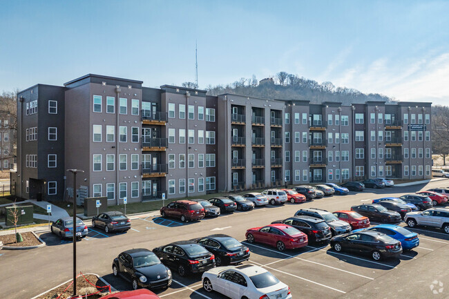
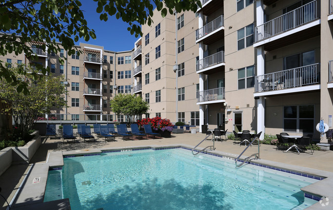
You May Also Like
Similar Rentals Nearby


What Are Walk Score®, Transit Score®, and Bike Score® Ratings?
Walk Score® measures the walkability of any address. Transit Score® measures access to public transit. Bike Score® measures the bikeability of any address.
What is a Sound Score Rating?
A Sound Score Rating aggregates noise caused by vehicle traffic, airplane traffic and local sources