

$5,000
Total Monthly Price
7 S Stellar Pkwy
Chandler, AZ 85226
Favorites
7 S Stellar Pkwy

Favorites
Check Back Soon for Upcoming Availability
| Beds | Baths | Average SF |
|---|---|---|
| 4 Bedrooms 4 Bedrooms 4 Br | 4 Baths 4 Baths 4 Ba | 3,500 SF |
About This Property
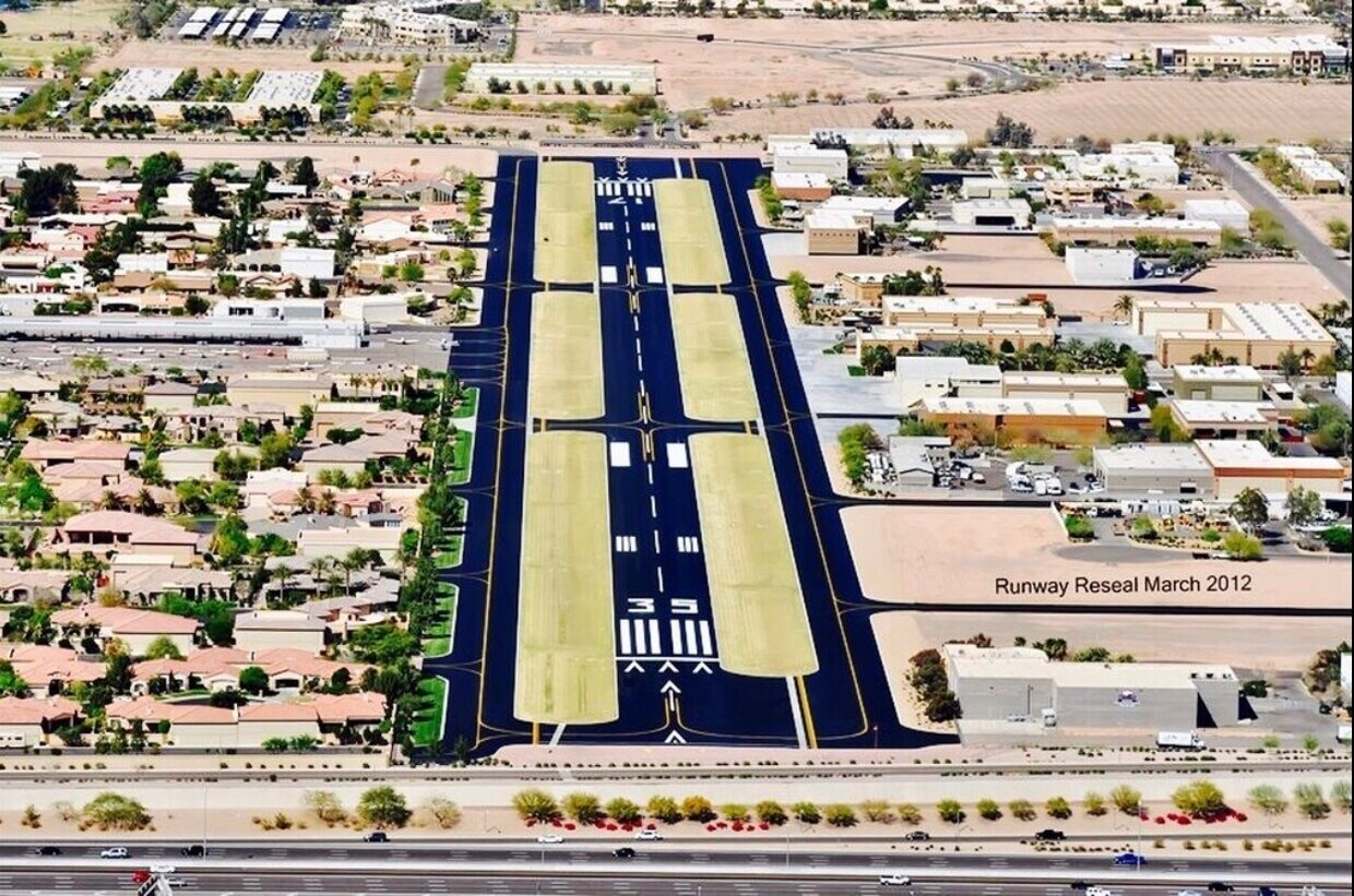
Stellar Airpark Rental. Rental does not include the hangar. Can discuss additional airplane parking if requested.
7 S Stellar Pkwy is a house located in Maricopa County and the 85226 ZIP Code.
7 S Stellar Pkwy,
Chandler,
AZ
85226
Situated about four miles west of Downtown Chandler, West Chandler is a scenic suburb brimming with recreation and retail. West Chandler residents enjoy access to an array of local parks, including Desert Breeze Park, Nozomi Park, and Hanger Park, as well as close proximity to the sprawling South Mountain Park.
Retail options in West Chandler provide a host of modern delights and everyday conveniences, with numerous shopping centers and plazas strewn throughout the area in addition to the upscale Chandler Fashion Center. West Chandler is also convenient to the popular Lone Butte Casino. Getting around from West Chandler is easy with access to the Santan Freeway, Maricopa Freeway, and the Price Freeway.
Learn more about living in West ChandlerBelow are rent ranges for similar nearby apartments
| Beds | Average Size | Lowest | Typical | Premium |
|---|---|---|---|---|
| Studio Studio Studio | 550 Sq Ft | $1,429 | $1,577 | $3,322 |
| 1 Bed 1 Bed 1 Bed | 773 Sq Ft | $1,167 | $2,113 | $13,451 |
| 2 Beds 2 Beds 2 Beds | 1099 Sq Ft | $1,433 | $2,505 | $13,388 |
| 3 Beds 3 Beds 3 Beds | 1371 Sq Ft | $1,794 | $3,678 | $26,764 |
| 4 Beds 4 Beds 4 Beds | 2457 Sq Ft | $2,540 | $4,078 | $7,500 |
Education
| Colleges & Universities | Distance | ||
|---|---|---|---|
| Colleges & Universities | Distance | ||
| Drive: | 15 min | 8.7 mi | |
| Drive: | 16 min | 9.5 mi | |
| Drive: | 17 min | 9.6 mi | |
| Drive: | 16 min | 9.7 mi |
7 S Stellar Pkwy is within 16 minutes or 9.5 miles from Chandler-Gilbert C.C., Pecos. It is also near Mesa C.C., Southern and Dobson and Chandler-Gilbert CC. Sun Lakes.
Transportation options available in Chandler include Rural/Apache, located 8.5 miles from 7 S Stellar Pkwy. 7 S Stellar Pkwy is near Phoenix Sky Harbor International, located 14.9 miles or 24 minutes away, and Phoenix-Mesa Gateway, located 17.0 miles or 26 minutes away.
| Transit / Subway | Distance | ||
|---|---|---|---|
| Transit / Subway | Distance | ||
|
|
Drive: | 17 min | 8.5 mi |
|
|
Drive: | 17 min | 8.6 mi |
|
|
Drive: | 17 min | 8.8 mi |
|
|
Drive: | 16 min | 10.3 mi |
|
|
Drive: | 16 min | 10.8 mi |
| Commuter Rail | Distance | ||
|---|---|---|---|
| Commuter Rail | Distance | ||
|
|
Drive: | 31 min | 21.2 mi |
| Airports | Distance | ||
|---|---|---|---|
| Airports | Distance | ||
|
Phoenix Sky Harbor International
|
Drive: | 24 min | 14.9 mi |
|
Phoenix-Mesa Gateway
|
Drive: | 26 min | 17.0 mi |
Walkability Near 7 S Stellar Pkwy Chandler, AZ 85226
Getting Around
 What do Walkability, Transit, Drivability, and Bikeability mean?
Walkability measures the walking distance to day-to-day needs.
Transit measures access to public transportation.
Drivability measures congestion, parking availability, and access to major roads.
Bikeability measures the suitability for cycling.
How It Works
What do Walkability, Transit, Drivability, and Bikeability mean?
Walkability measures the walking distance to day-to-day needs.
Transit measures access to public transportation.
Drivability measures congestion, parking availability, and access to major roads.
Bikeability measures the suitability for cycling.
How It Works
Fairly Walkable
Walkability
40
/ 100
Limited Public Transit
Transit
20
/ 100
Very Drivable
Drivability
80
/ 100
Moderately Bikeable
Bikeability
60
/ 100
Scores provided by
-
Soundscore™
-
/ 100
Traffic
-Airport
-Businesses
-Scores provided by
HowLoud What is a Sound Score Rating? A Sound Score Rating aggregates noise caused by vehicle traffic, airplane traffic and local sources. How It WorksTime and distance from 7 S Stellar Pkwy.
| Shopping Centers | Distance | ||
|---|---|---|---|
| Shopping Centers | Distance | ||
| Walk: | 12 min | 0.7 mi | |
| Drive: | 3 min | 1.5 mi | |
| Drive: | 4 min | 1.8 mi |
7 S Stellar Pkwy has 3 shopping centers within 1.8 miles, which is about a 4-minute drive. The miles and minutes will be for the farthest away property.
| Parks and Recreation | Distance | ||
|---|---|---|---|
| Parks and Recreation | Distance | ||
|
Pecos Park
|
Drive: | 9 min | 4.7 mi |
|
South Mountain Park
|
Drive: | 17 min | 8.6 mi |
|
ASU Center for Meteorite Studies
|
Drive: | 19 min | 9.0 mi |
|
Desert Arboretum Park
|
Drive: | 19 min | 9.5 mi |
|
i.d.e.a. Museum
|
Drive: | 19 min | 12.4 mi |
7 S Stellar Pkwy has 5 parks within 12.4 miles, including Pecos Park, South Mountain Park, and ASU Center for Meteorite Studies.
| Hospitals | Distance | ||
|---|---|---|---|
| Hospitals | Distance | ||
| Drive: | 6 min | 3.4 mi | |
| Drive: | 7 min | 3.8 mi | |
| Drive: | 10 min | 5.4 mi |
7 S Stellar Pkwy has 3 hospitals within 5.4 miles, the nearest is Chandler Regional Medical Center which is 3.4 miles away and a 6 minute drive.
| Military Bases | Distance | ||
|---|---|---|---|
| Military Bases | Distance | ||
| Drive: | 23 min | 15.6 mi | |
| Drive: | 53 min | 40.1 mi | |
| Drive: | 99 min | 80.0 mi |
7 S Stellar Pkwy has 3 military bases within 80.0 miles, the nearest is Phoenix Sky Harbor Airport Air Guard Station which is 15.6 miles away and a 23 minute drive.
You May Also Like
Similar Rentals Nearby


What Are Walk Score®, Transit Score®, and Bike Score® Ratings?
Walk Score® measures the walkability of any address. Transit Score® measures access to public transit. Bike Score® measures the bikeability of any address.
What is a Sound Score Rating?
A Sound Score Rating aggregates noise caused by vehicle traffic, airplane traffic and local sources.
7 S Stellar Pkwy
Chandler, AZ 85226