
Fayette Arms Apartments
2680 Fayette Dr,
Mountain View, CA 94040
$3,438
1-2 Beds

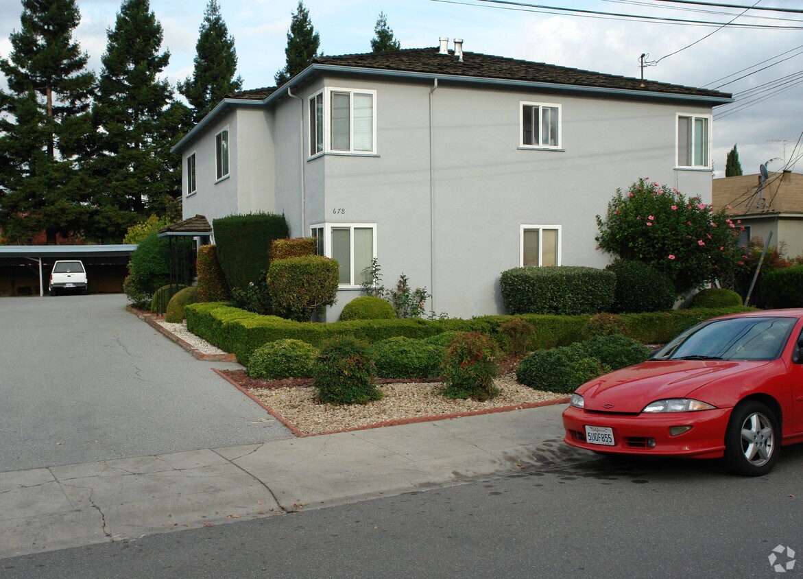
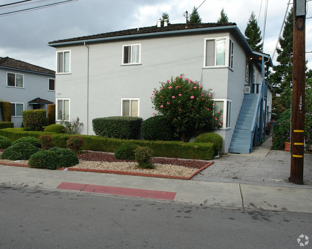
Meet your new place at 678 Victor Way. Based in the 94040 area of Mountain View on Victor Way, you have convenient access to enjoyable points of interest within a few miles. Make a visit to view the available floorplans. The professional leasing staff is ready to help match you with your perfect new place. Experience a new standard at 678 Victor Way.
678 Victor Way is an apartment community located in Santa Clara County and the 94040 ZIP Code. This area is served by the Mountain View Whisman School District attendance zone.
Located just 35 miles southeast of San Francisco and 10 miles northwest of San Jose, Cuesta Park is a family-friendly neighborhood in Silicon Valley. This centrally located neighborhood features mid-range to upscale rentals available for rent, complemented by palm-tree-lined streets. Families flock to Cuesta Park for its excellent schools, preschools, hospitals, and parks. Considered one of the best healthcare facilities in the Bay Area, El Camino Hospital, on the southern end of the neighborhood, offers numerous community outreach programs and activities.
Great for professionals, Cuesta Park is also convenient to the corporate offices of multiple tech companies including Googleplex and Apple Park, which are both less than 15 minutes away from the neighborhood. Cuesta Park is known for its namesake park which encompasses plenty of open green space for picnics and walking. Residents enjoy using the park’s facilities for barbecues, tennis, volleyball, and swimming.
Learn more about living in Cuesta ParkCompare neighborhood and city base rent averages by bedroom.
| Cuesta Park | Mountain View, CA | |
|---|---|---|
| Studio | $3,383 | $2,927 |
| 1 Bedroom | $3,027 | $3,439 |
| 2 Bedrooms | $3,265 | $4,385 |
| 3 Bedrooms | $6,421 | $5,258 |
| Colleges & Universities | Distance | ||
|---|---|---|---|
| Colleges & Universities | Distance | ||
| Drive: | 9 min | 3.6 mi | |
| Drive: | 10 min | 3.7 mi | |
| Drive: | 10 min | 5.7 mi | |
| Drive: | 15 min | 6.1 mi |


Transportation options available in Mountain View include Mountain View Station, located 0.9 mile from 678 Victor Way. 678 Victor Way is near Norman Y Mineta San Jose International, located 10.1 miles or 15 minutes away, and San Francisco International, located 27.2 miles or 35 minutes away.
| Transit / Subway | Distance | ||
|---|---|---|---|
| Transit / Subway | Distance | ||
| Walk: | 18 min | 0.9 mi | |
|
|
Drive: | 5 min | 2.3 mi |
|
|
Drive: | 5 min | 2.6 mi |
| Drive: | 7 min | 3.4 mi | |
| Drive: | 7 min | 4.3 mi |
| Commuter Rail | Distance | ||
|---|---|---|---|
| Commuter Rail | Distance | ||
| Walk: | 19 min | 1.0 mi | |
| Drive: | 6 min | 2.4 mi | |
| Drive: | 8 min | 3.4 mi | |
| Drive: | 12 min | 4.9 mi | |
| Drive: | 11 min | 6.9 mi |
| Airports | Distance | ||
|---|---|---|---|
| Airports | Distance | ||
|
Norman Y Mineta San Jose International
|
Drive: | 15 min | 10.1 mi |
|
San Francisco International
|
Drive: | 35 min | 27.2 mi |
Scores provided by
Traffic
-Airport
-Businesses
-Scores provided by
HowLoud What is a Sound Score Rating? A Sound Score Rating aggregates noise caused by vehicle traffic, airplane traffic and local sources. How It WorksTime and distance from 678 Victor Way.
| Shopping Centers | Distance | ||
|---|---|---|---|
| Shopping Centers | Distance | ||
| Walk: | 13 min | 0.7 mi |
| Parks and Recreation | Distance | ||
|---|---|---|---|
| Parks and Recreation | Distance | ||
|
Redwood Grove
|
Drive: | 9 min | 3.1 mi |
|
Terman Park
|
Drive: | 9 min | 3.7 mi |
|
Foothill College Observatory
|
Drive: | 11 min | 3.9 mi |
|
J. Pearce Mitchell Park
|
Drive: | 11 min | 4.5 mi |
|
Esther Clark Nature Preserve
|
Drive: | 11 min | 5.1 mi |
| Hospitals | Distance | ||
|---|---|---|---|
| Hospitals | Distance | ||
| Drive: | 3 min | 1.4 mi | |
| Drive: | 13 min | 6.3 mi | |
| Drive: | 13 min | 6.6 mi |
| Military Bases | Distance | ||
|---|---|---|---|
| Military Bases | Distance | ||
| Drive: | 9 min | 3.4 mi | |
| Drive: | 59 min | 43.4 mi | |
| Drive: | 60 min | 43.6 mi |
Fitness Center Pool In Unit Washer & Dryer High-Speed Internet Stainless Steel Appliances Package Service
What Are Walk Score®, Transit Score®, and Bike Score® Ratings?
Walk Score® measures the walkability of any address. Transit Score® measures access to public transit. Bike Score® measures the bikeability of any address.
What is a Sound Score Rating?
A Sound Score Rating aggregates noise caused by vehicle traffic, airplane traffic and local sources.
678 Victor Way
Mountain View, CA 94040


