667 Aileen St
Oakland, CA 94609
-
Bedrooms
1
-
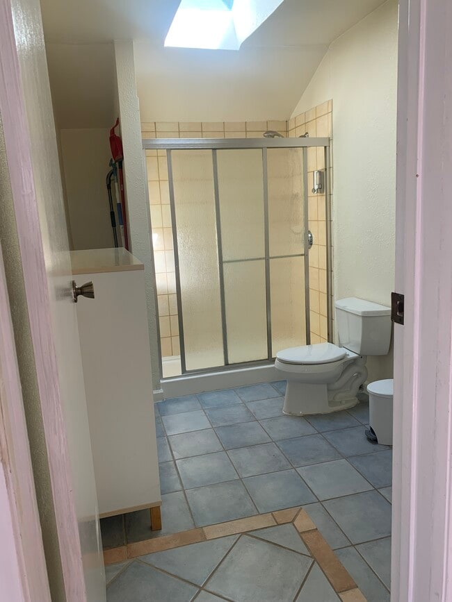
Bathrooms
1
-
Square Feet
670 sq ft
-
Available
Available Jul 10

667 Aileen St is a house located in Alameda County and the 94609 ZIP Code. This area is served by the Oakland Unified School District attendance zone.
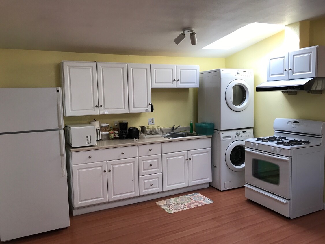
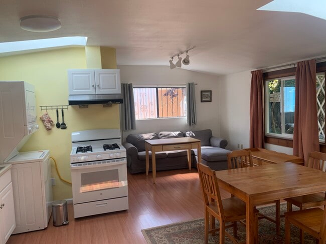
House Features
Washer/Dryer
High Speed Internet Access
Wi-Fi
Tub/Shower
- High Speed Internet Access
- Wi-Fi
- Washer/Dryer
- Heating
- Tub/Shower
Fees and Policies
The fees listed below are community-provided and may exclude utilities or add-ons. All payments are made directly to the property and are non-refundable unless otherwise specified.
Details
Utilities Included
-
Water
-
Trash Removal
-
Sewer
Contact
- Listed by Ruxana Meyer
- Contact
Upper Telegraph is a centrally located neighborhood in the city of Oakland. Upper Telegraph is home to numerous local staples like Bushrod Park and Community Garden, healthcare centers, and a busy commercial strip along Telegraph Avenue. Locals can easily shop in the neighborhood or head less than 10 miles south to Downtown Oakland for places like Jack London Square and the Uptown District. More great features offered by Downtown Oakland include scenic sites like the Bonsai Garden and Lake Merritt. While Downtown Oakland is Upper Telegraph’s southern neighbor, the city of Berkeley is the neighborhood’s northern neighbor. Downtown Berkeley, the University of California-Berkley, and several national and state parks sit just north of Upper Telegraph.
Learn more about living in Upper Telegraph| Colleges & Universities | Distance | ||
|---|---|---|---|
| Colleges & Universities | Distance | ||
| Drive: | 4 min | 1.8 mi | |
| Drive: | 7 min | 2.2 mi | |
| Drive: | 11 min | 3.4 mi | |
| Drive: | 7 min | 3.4 mi |


View GreatSchools Rating Methodology
Data provided by GreatSchools.org © 2026. All rights reserved.
Transportation options available in Oakland include Ashby Station, located 1.1 miles from 667 Aileen St. 667 Aileen St is near Metro Oakland International, located 12.4 miles or 19 minutes away, and San Francisco International, located 23.0 miles or 36 minutes away.
| Transit / Subway | Distance | ||
|---|---|---|---|
| Transit / Subway | Distance | ||
|
|
Drive: | 3 min | 1.1 mi |
|
|
Drive: | 4 min | 1.2 mi |
|
|
Drive: | 4 min | 1.9 mi |
|
|
Drive: | 7 min | 2.2 mi |
|
|
Drive: | 6 min | 2.9 mi |
| Commuter Rail | Distance | ||
|---|---|---|---|
| Commuter Rail | Distance | ||
| Drive: | 5 min | 1.8 mi | |
|
|
Drive: | 8 min | 4.0 mi |
|
|
Drive: | 8 min | 4.2 mi |
| Drive: | 17 min | 10.2 mi | |
| Drive: | 17 min | 10.6 mi |
| Airports | Distance | ||
|---|---|---|---|
| Airports | Distance | ||
|
Metro Oakland International
|
Drive: | 19 min | 12.4 mi |
|
San Francisco International
|
Drive: | 36 min | 23.0 mi |
Scores provided by
Traffic
BusyAirport
CalmBusinesses
ActiveScores provided by
HowLoud What is a Sound Score Rating? A Sound Score Rating aggregates noise caused by vehicle traffic, airplane traffic and local sources. How It WorksTime and distance from 667 Aileen St.
| Shopping Centers | Distance | ||
|---|---|---|---|
| Shopping Centers | Distance | ||
| Walk: | 10 min | 0.5 mi | |
| Walk: | 10 min | 0.5 mi | |
| Walk: | 12 min | 0.6 mi |
| Parks and Recreation | Distance | ||
|---|---|---|---|
| Parks and Recreation | Distance | ||
|
Willard Park
|
Drive: | 5 min | 1.7 mi |
|
Habitot Children's Museum
|
Drive: | 6 min | 2.0 mi |
|
Temescal Regional Park
|
Drive: | 4 min | 2.0 mi |
|
People's Park
|
Drive: | 6 min | 2.1 mi |
|
San Francisco Bay Trail (at Emeryville)
|
Drive: | 6 min | 2.6 mi |
| Hospitals | Distance | ||
|---|---|---|---|
| Hospitals | Distance | ||
| Walk: | 7 min | 0.4 mi | |
| Drive: | 4 min | 1.4 mi | |
| Drive: | 4 min | 1.7 mi |
| Military Bases | Distance | ||
|---|---|---|---|
| Military Bases | Distance | ||
| Drive: | 14 min | 5.4 mi | |
| Drive: | 15 min | 6.9 mi | |
| Drive: | 16 min | 7.1 mi |
- High Speed Internet Access
- Wi-Fi
- Washer/Dryer
- Heating
- Tub/Shower
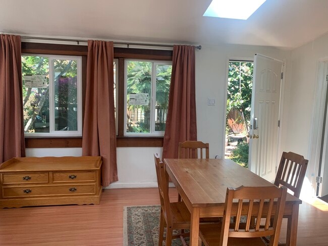
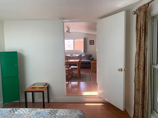
667 Aileen St Photos

667 Aileen St
Oakland, CA 94609