
$2,150
/ Month
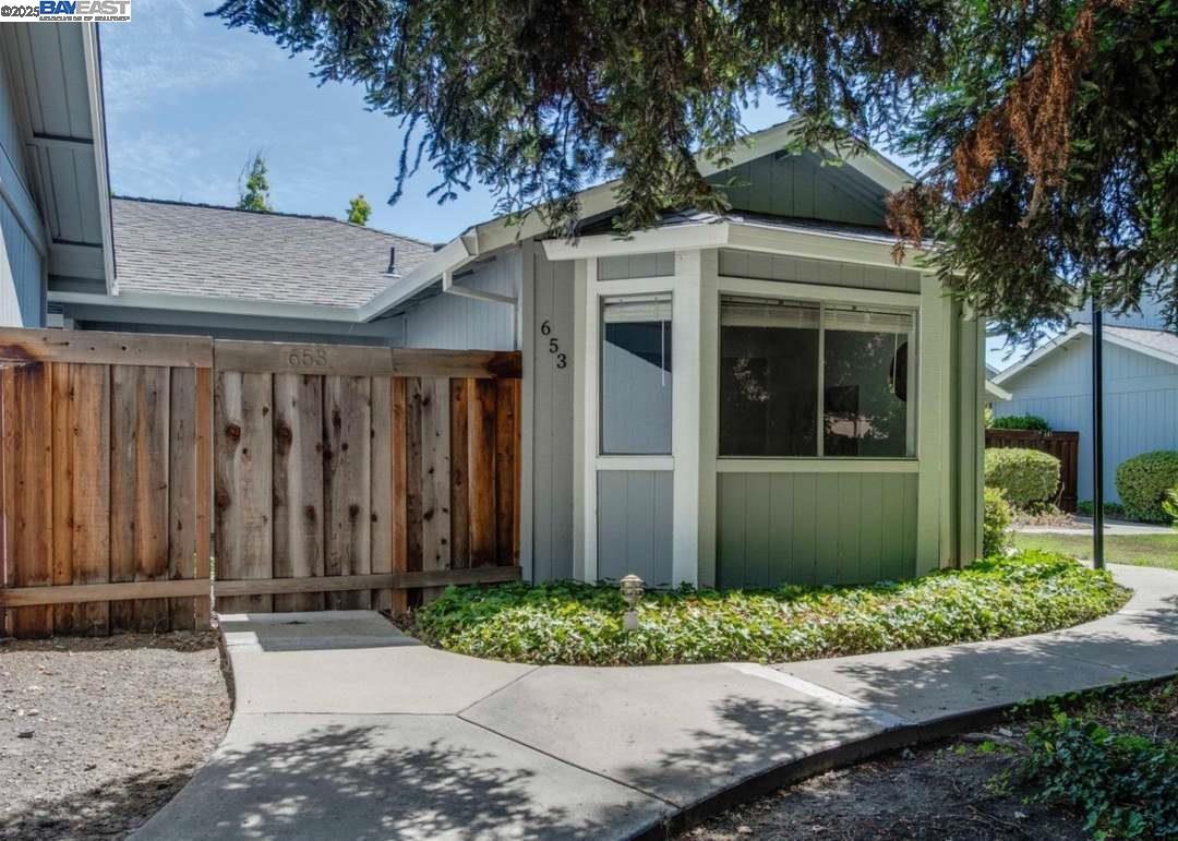
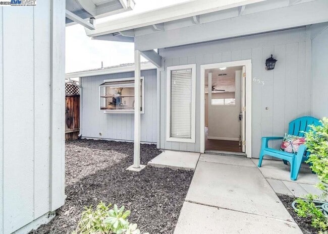
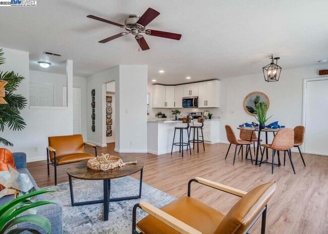
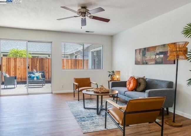
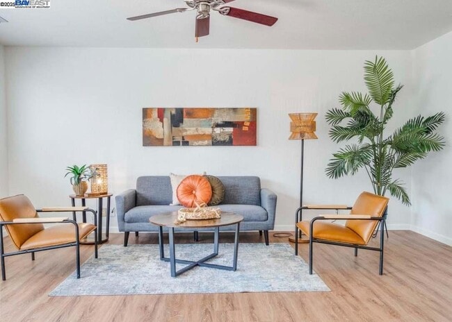
653 Martinique Ct
San Jose, CA 95123
Today
Favorites
279-259-9124
-
Bedrooms
2
-
Bathrooms
2
-
Square Feet
1,241 sq ft
-
Available
Available Oct 9
653 Martinique Ct

Favorites
Contact
- Listed by Patrick Okubo | RE/MAX Accord
- Phone Number
- Contact
-
Source
 Bay East Association of REALTORS ®
Copyright© 2025 Bay East, Contra Costa, bridgeMLS. All rights reserved. All information provided by the listing agent/broker is deemed reliable but is not guaranteed and should be independently verified.
Location
Get Directions
Blossom Valley is a neighborhood in San Jose situated along Highway 85 between the Sierra Azul Preserve and the Diablo Range. The neighborhood is densely populated with several apartments and a few spacious homes for rent. An abundance of shopping and dining options at large retail centers like Westfield Oakridge are located in town as well. More retailers and eateries are scattered throughout the neighborhood, and a few community parks like Comanche Lookout Park dot the area. Parks, golf courses, and trails surround Blossom Valley, and outdoor enthusiasts have easy access to the massive state parks on either side of town.
Learn more about living in Blossom Valley/S San Jose
Education
| Colleges & Universities | Distance | ||
|---|---|---|---|
| Colleges & Universities | Distance | ||
| Drive: | 14 min | 8.6 mi | |
| Drive: | 16 min | 8.6 mi | |
| Drive: | 14 min | 9.3 mi | |
| Drive: | 19 min | 11.3 mi |
653 Martinique Ct is within 14 minutes or 8.6 miles from San Jose State University. It is also near Evergreen Valley College and San Jose City College.
Transportation options available in San Jose include Blossom Hill Station, located 1.1 miles from 653 Martinique Ct. 653 Martinique Ct is near Norman Y Mineta San Jose International, located 10.7 miles or 16 minutes away.
| Transit / Subway | Distance | ||
|---|---|---|---|
| Transit / Subway | Distance | ||
| Drive: | 2 min | 1.1 mi | |
|
|
Drive: | 2 min | 1.1 mi |
|
|
Drive: | 5 min | 2.4 mi |
|
|
Drive: | 6 min | 4.4 mi |
| Drive: | 6 min | 4.4 mi |
| Commuter Rail | Distance | ||
|---|---|---|---|
| Commuter Rail | Distance | ||
| Drive: | 5 min | 3.1 mi | |
| Drive: | 8 min | 3.9 mi | |
| Drive: | 11 min | 6.5 mi | |
| Drive: | 11 min | 6.6 mi | |
| Drive: | 12 min | 7.8 mi |
| Airports | Distance | ||
|---|---|---|---|
| Airports | Distance | ||
|
Norman Y Mineta San Jose International
|
Drive: | 16 min | 10.7 mi |
Time and distance from 653 Martinique Ct.
| Shopping Centers | Distance | ||
|---|---|---|---|
| Shopping Centers | Distance | ||
| Walk: | 5 min | 0.3 mi | |
| Walk: | 7 min | 0.4 mi | |
| Walk: | 17 min | 0.9 mi |
653 Martinique Ct has 3 shopping centers within 0.9 mile, which is about a 17-minute walk. The miles and minutes will be for the farthest away property.
| Parks and Recreation | Distance | ||
|---|---|---|---|
| Parks and Recreation | Distance | ||
|
Almaden Lake Park
|
Drive: | 4 min | 2.2 mi |
|
Almaden Quicksilver County Park
|
Drive: | 12 min | 5.2 mi |
|
Hellyer County Park
|
Drive: | 10 min | 5.8 mi |
|
Santa Teresa County Park
|
Drive: | 15 min | 6.6 mi |
|
Happy Hollow Park & Zoo
|
Drive: | 12 min | 7.5 mi |
653 Martinique Ct has 5 parks within 7.5 miles, including Almaden Lake Park, Hellyer County Park, and Almaden Quicksilver County Park.
| Hospitals | Distance | ||
|---|---|---|---|
| Hospitals | Distance | ||
| Drive: | 5 min | 2.8 mi | |
| Drive: | 7 min | 4.9 mi | |
| Drive: | 10 min | 6.9 mi |
653 Martinique Ct has 3 hospitals within 6.9 miles, the nearest is Kaiser Foundation Hospital - San Jose which is 2.8 miles away and a 5 minute drive.
| Military Bases | Distance | ||
|---|---|---|---|
| Military Bases | Distance | ||
| Drive: | 27 min | 19.9 mi |
653 Martinique Ct is 19.9 miles and a 27 minute drive from Ames Research Center.
You May Also Like
Similar Rentals Nearby
-
-

-

-
1 / 38

-
-
1 / 34

-

-
-

-


What Are Walk Score®, Transit Score®, and Bike Score® Ratings?
Walk Score® measures the walkability of any address. Transit Score® measures access to public transit. Bike Score® measures the bikeability of any address.
What is a Sound Score Rating?
A Sound Score Rating aggregates noise caused by vehicle traffic, airplane traffic and local sources

653 Martinique Ct
San Jose, CA 95123