
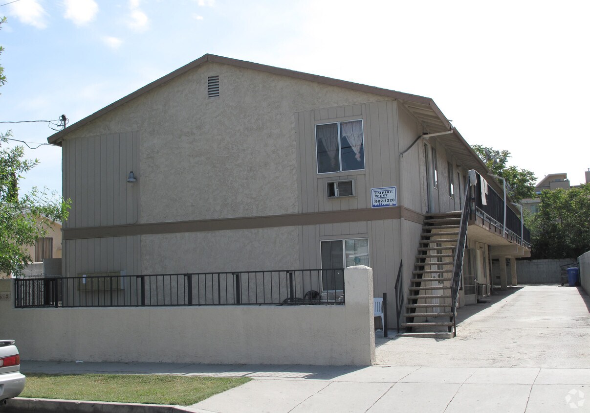
Venue Residences
3688 Overland Ave,
Los Angeles, CA 90034
$3,550 - $4,795
1-2 Beds

Spacious downstair 1BR + 1BA apartment. Laminated wood floors throughout. Apartment has been freshly painted. Vinyl floors in the kitchen and bathroom. Vertical blinds throughout. Gas stove/oven. Wall unit air-conditioner. No pets. No smoking. On-site laundry room. Parking for one car. Clean and well-maintained. Gated apartment building. Walk to buses and shopping. MUST SEE!!! DON'T WAIT - CALL TODAY FOR A PERSONAL TOUR! Schools: Victory Boulevard Elementary Roy Roemer Middle School North Hollywood Sr. High School
6448 Troost Ave is an apartment community located in Los Angeles County and the 91606 ZIP Code. This area is served by the Los Angeles Unified Rocp School District attendance zone.
Los Angeles sprawls across nearly 500 square miles between the Pacific Ocean and the San Gabriel Mountains, making it one of the few places where you can surf in the morning and hike through chaparral-covered hills by afternoon. Sunshine, open-air farmers markets, and a food scene that pulls from dozens of culinary traditions are a staple of living in the city.
Neighborhoods each have a distinct personality surrounding a particular focus, whether it be culture or nature. Westwood keeps residents close to entertainment at the University of Southern California and the Hammer Museum's rotating art exhibitions. Koreatown is a cultural and food destination, known for authentic restaurants and shops paired with a bustling street energy and nightlife.
The city overflows with iconic landmarks, from natural to man-made. Griffith Park, one of the largest urban parks in the country, offers hiking trails, sweeping skyline views, and the iconic Griffith Observatory.
Learn more about living in Los Angeles| Colleges & Universities | Distance | ||
|---|---|---|---|
| Colleges & Universities | Distance | ||
| Drive: | 6 min | 2.7 mi | |
| Drive: | 9 min | 4.4 mi | |
| Drive: | 8 min | 4.7 mi | |
| Drive: | 12 min | 7.5 mi |


Transportation options available in Los Angeles include North Hollywood Station, located 1.6 miles from 6448 Troost Ave. 6448 Troost Ave is near Bob Hope, located 2.6 miles or 5 minutes away, and Los Angeles International, located 24.2 miles or 35 minutes away.
| Transit / Subway | Distance | ||
|---|---|---|---|
| Transit / Subway | Distance | ||
|
|
Drive: | 2 min | 1.6 mi |
|
|
Drive: | 6 min | 3.8 mi |
|
|
Drive: | 12 min | 7.4 mi |
|
|
Drive: | 11 min | 7.6 mi |
|
|
Drive: | 12 min | 8.4 mi |
| Commuter Rail | Distance | ||
|---|---|---|---|
| Commuter Rail | Distance | ||
|
|
Drive: | 5 min | 2.6 mi |
|
|
Drive: | 6 min | 3.5 mi |
| Drive: | 7 min | 4.5 mi | |
|
|
Drive: | 10 min | 5.2 mi |
|
|
Drive: | 10 min | 5.7 mi |
| Airports | Distance | ||
|---|---|---|---|
| Airports | Distance | ||
|
Bob Hope
|
Drive: | 5 min | 2.6 mi |
|
Los Angeles International
|
Drive: | 35 min | 24.2 mi |
Scores provided by
Traffic
-Airport
-Businesses
-Scores provided by
HowLoud What is a Sound Score Rating? A Sound Score Rating aggregates noise caused by vehicle traffic, airplane traffic and local sources. How It WorksTime and distance from 6448 Troost Ave.
| Shopping Centers | Distance | ||
|---|---|---|---|
| Shopping Centers | Distance | ||
| Walk: | 8 min | 0.4 mi | |
| Walk: | 9 min | 0.5 mi | |
| Walk: | 10 min | 0.6 mi |
| Parks and Recreation | Distance | ||
|---|---|---|---|
| Parks and Recreation | Distance | ||
|
The Japanese Garden
|
Drive: | 11 min | 6.9 mi |
|
Sepulveda Basin Wildlife Reserve
|
Drive: | 15 min | 7.3 mi |
|
Franklin Canyon Park
|
Drive: | 18 min | 7.4 mi |
|
Sooky Goldman Nature Center
|
Drive: | 19 min | 7.5 mi |
|
La Tuna Canyon Park
|
Drive: | 12 min | 7.8 mi |
| Hospitals | Distance | ||
|---|---|---|---|
| Hospitals | Distance | ||
| Drive: | 6 min | 3.9 mi | |
| Drive: | 8 min | 4.9 mi | |
| Drive: | 9 min | 5.3 mi |
| Military Bases | Distance | ||
|---|---|---|---|
| Military Bases | Distance | ||
| Drive: | 35 min | 26.8 mi |
What Are Walk Score®, Transit Score®, and Bike Score® Ratings?
Walk Score® measures the walkability of any address. Transit Score® measures access to public transit. Bike Score® measures the bikeability of any address.
What is a Sound Score Rating?
A Sound Score Rating aggregates noise caused by vehicle traffic, airplane traffic and local sources.

6448 Troost Ave
Los Angeles, CA 91606


