

$3,000
/ Month
644 Trumbull St
Elizabeth, NJ 07206
Today
|
Edit
Favorites
908-233-8502
-
Bedrooms
5
-
Bathrooms
1
-
Square Feet
--
-
Available
Not Available
Highlights
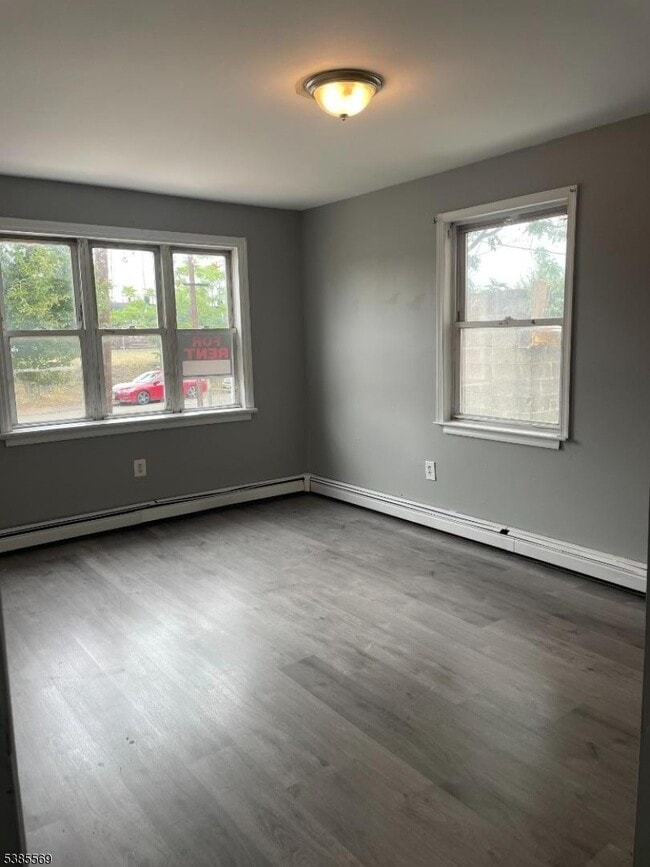
- Main Floor Bedroom
- Living Room
644 Trumbull St

Favorites
About This Home
Not Available
Apartamento de 7 habitaciones en planta baja con 5 dormitorios, cocina, sala de estar y baño completo. Cerca del aeropuerto de Newark, la autopista de peaje de Nueva Jersey, el puente Goethals, el centro comercial Jersey Gardens, Amazon, Wakefern, Ikea y excelentes conexiones de transporte público, incluyendo tren y autobús a Nueva York. Fácil de mostrar.
644 Trumbull St is a house located in Union County and the 07206 ZIP Code. This area is served by the Elizabeth Public attendance zone.
* Price shown is base rent. Excludes user-selected optional fees and variable or usage-based fees and required charges due at or prior to move-in or at move-out. Price, availability, fees, and any applicable rent special are subject to change without notice.
* Square footage definitions vary. Displayed square footage is approximate.
Home Details
Bedrooms and Bathrooms
Main Floor Bedroom
1 Full Bathroom
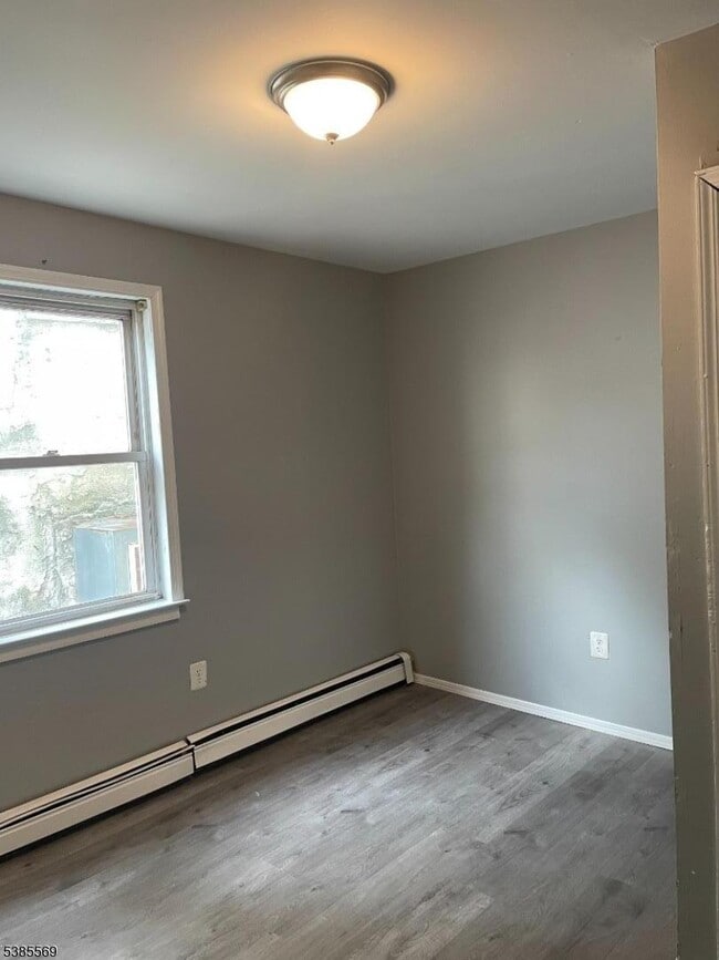
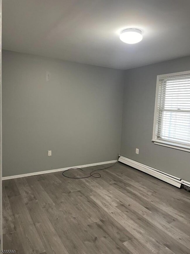
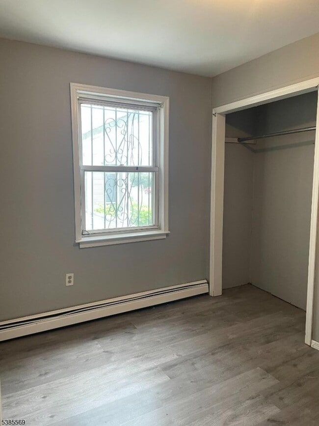
5 Bedrooms
Interior Spaces
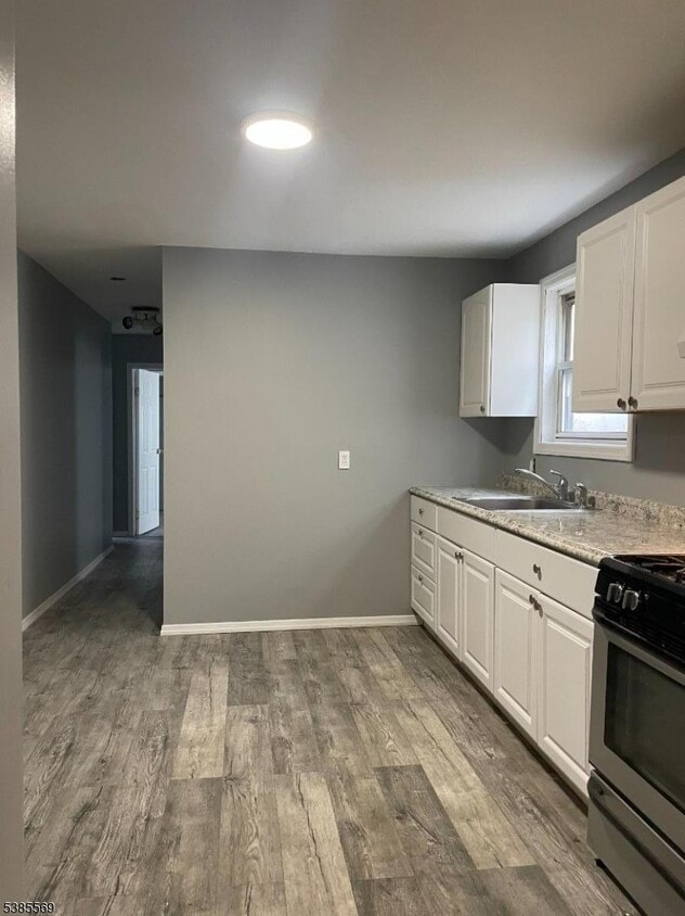
Living Room
Laminate Flooring
2-Story Property
Kitchen
Gas Oven or Range
Listing and Financial Details
Assessor Parcel Number 2904-00629-0000-00003-0000-
Tenant pays for electric, gas, heat, hot water, repairs, snow removal
Lot Details
77 Sq Ft Lot
Parking
On-Street Parking
Schools
J. Marshal Elementary School
Cleveland Middle School
Elizabeth High School
Utilities
Gas Water Heater
Community Details
Contact
- Listed by CARLOS GOMEZ | GardenStateMLS#NJ
- Phone Number
-
Source
Garden State Multiple Listing Service, LLC
Copyright © 2026 Garden State MLS, LLC. All rights reserved. All information provided by the listing agent/broker is deemed reliable but is not guaranteed and should be independently verified.
Location
Get Directions
Living in Elizabeth, New Jersey combines metropolitan accessibility with historical significance, just 20 miles from Manhattan. The city offers various housing options, from historic single-family homes to apartments, with average rents ranging from $1,371 for studios to $2,013 for three-bedroom units. Elizabeth's neighborhoods each showcase distinct characteristics - the Midtown district features Art Deco architecture, while the Elizabethport area near the waterfront has experienced recent development. The Elmora and Peterstown areas maintain their established cultural heritage through local markets and architecture.
Elizabeth's position as a transportation hub includes multiple train stations providing direct access to Newark and New York City. The Mills at Jersey Gardens outlet mall and the Port Newark-Elizabeth Marine Terminal contribute to the local economy. For outdoor recreation, Warinanco Park offers boating facilities and seasonal activities.
Learn more about living in Elizabeth
Amenities
- Fogón
Education
| Colleges & Universities | Distance | ||
|---|---|---|---|
| Colleges & Universities | Distance | ||
| Drive: | 3 min | 1.4 mi | |
| Drive: | 7 min | 2.8 mi | |
| Drive: | 10 min | 6.5 mi | |
| Drive: | 15 min | 7.8 mi |
644 Trumbull St is within 3 minutes or 1.4 miles from Union County Coll., Elizabeth. It is also near Kean University and Essex County College.
Schools


Public Elementary & Middle School
Grades K-8
454 Students
Attendance Zone
Public Elementary & Middle School
Grades PK-8
554 Students
Nearby
Public High School
Grades 9-12
1,281 Students
Attendance Zone
Public High School
Grades 9-12
1,070 Students
Attendance Zone
Private Elementary, Middle & High School
Grades 5-12
181 Students
Nearby
Private Elementary & Middle School
Grades PK-8
151 Students
Nearby
School data provided by
 The GreatSchools Rating helps parents compare schools within a state based on a variety of school quality indicators and provides a helpful picture of how effectively each school serves all of its students. Ratings are on a scale of 1 (below average) to 10 (above average) and can include test scores, college readiness, academic progress, advanced courses, equity, discipline and attendance data. We also advise parents to visit schools, consider other information on school performance and programs, and consider family needs as part of the school selection process.
View GreatSchools Rating Methodology
Data provided by GreatSchools.org © 2026. All rights reserved.
View GreatSchools Rating Methodology
Data provided by GreatSchools.org © 2026. All rights reserved.
Transportation options available in Elizabeth include Military Park, located 6.3 miles from 644 Trumbull St. 644 Trumbull St is near Newark Liberty International, located 6.8 miles or 11 minutes away, and LaGuardia, located 24.6 miles or 45 minutes away.
| Transit / Subway | Distance | ||
|---|---|---|---|
| Transit / Subway | Distance | ||
|
|
Drive: | 9 min | 6.3 mi |
| Drive: | 16 min | 9.4 mi | |
|
|
Drive: | 16 min | 10.0 mi |
|
|
Drive: | 15 min | 10.0 mi |
|
|
Drive: | 18 min | 11.8 mi |
| Commuter Rail | Distance | ||
|---|---|---|---|
| Commuter Rail | Distance | ||
|
|
Drive: | 3 min | 1.3 mi |
|
|
Drive: | 5 min | 2.4 mi |
|
|
Drive: | 7 min | 3.1 mi |
|
|
Drive: | 8 min | 3.6 mi |
|
|
Drive: | 10 min | 4.6 mi |
| Airports | Distance | ||
|---|---|---|---|
| Airports | Distance | ||
|
Newark Liberty International
|
Drive: | 11 min | 6.8 mi |
|
LaGuardia
|
Drive: | 45 min | 24.6 mi |
Time and distance from 644 Trumbull St.
| Shopping Centers | Distance | ||
|---|---|---|---|
| Shopping Centers | Distance | ||
| Walk: | 7 min | 0.4 mi | |
| Drive: | 3 min | 1.5 mi | |
| Drive: | 4 min | 1.6 mi |
644 Trumbull St has 3 shopping centers within 1.6 miles, which is about a 4-minute drive. The miles and minutes will be for the farthest away property.
| Parks and Recreation | Distance | ||
|---|---|---|---|
| Parks and Recreation | Distance | ||
|
Staten Island Industrial Park
|
Drive: | 12 min | 6.8 mi |
|
Westerleigh Park
|
Drive: | 14 min | 7.7 mi |
|
Faber Park
|
Drive: | 14 min | 8.1 mi |
|
G. Thomas DiDomenico Park
|
Drive: | 18 min | 9.7 mi |
|
Stephen Gregg Park
|
Drive: | 17 min | 10.2 mi |
644 Trumbull St has 5 parks within 10.2 miles, including Staten Island Industrial Park, Westerleigh Park, and Faber Park.
| Hospitals | Distance | ||
|---|---|---|---|
| Hospitals | Distance | ||
| Drive: | 4 min | 1.6 mi | |
| Drive: | 9 min | 5.1 mi | |
| Drive: | 12 min | 7.4 mi |
644 Trumbull St has 3 hospitals within 7.4 miles, the nearest is Trinitas Regional Medical Center which is 1.6 miles away and a 4 minute drive.
| Military Bases | Distance | ||
|---|---|---|---|
| Military Bases | Distance | ||
| Drive: | 16 min | 10.7 mi | |
| Drive: | 24 min | 11.0 mi | |
| Drive: | 23 min | 12.3 mi |
644 Trumbull St has 3 military bases within 12.3 miles, the nearest is Military Ocean Terminal which is 10.7 miles away and a 16 minute drive.
You May Also Like
How do I access Social Services in New Jersey?
Statewide service is free, confidential, multilingual and always open. Three easy ways to reach Social Services in NJ: Dial 2-1-1; text your zip code to 898-211; or chat at https://www.nj211.org
Similar Rentals Nearby
-
-

-

-
 5 Beds, 5 Baths, 2,700 sq ft$8,500Total Monthly PriceTotal Monthly Price NewPrices include all required monthly fees.283 Orange Rd
 -

-

-
 4 Beds, 1 Bath$2,600Total Monthly PriceTotal Monthly Price NewPrices include all required monthly fees.222 66th St
 -

-

-

What Are Walk Score®, Transit Score®, and Bike Score® Ratings?
Walk Score® measures the walkability of any address. Transit Score® measures access to public transit. Bike Score® measures the bikeability of any address.
What is a Sound Score Rating?
A Sound Score Rating aggregates noise caused by vehicle traffic, airplane traffic and local sources
644 Trumbull St
Elizabeth, NJ 07206