
Westlake Apartments
331 Park Plaza Dr,
Daly City, CA 94015
$2,230 - $4,374
Studio - 3 Beds
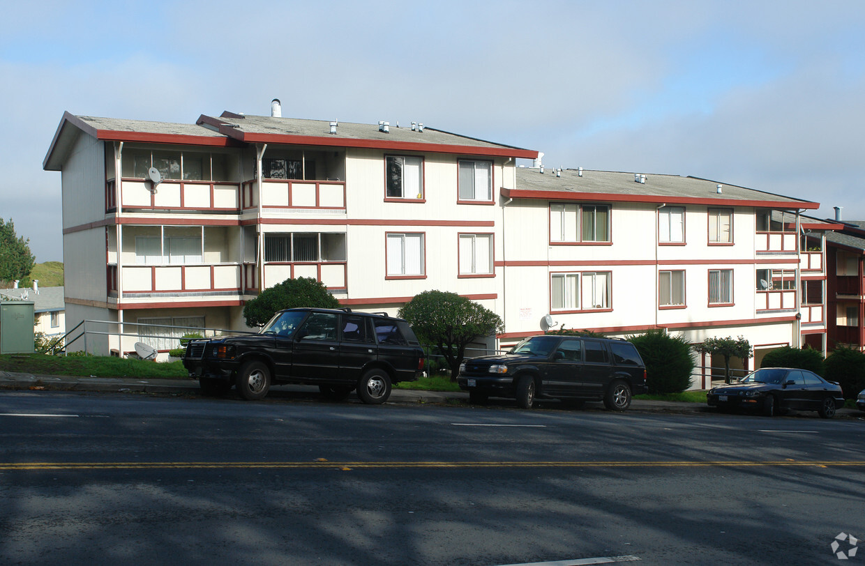
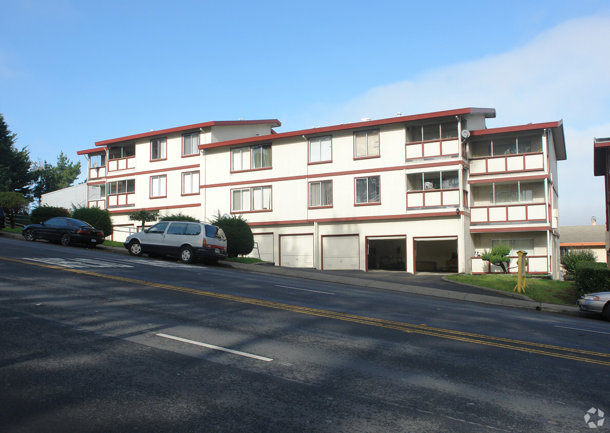

640 Serramonte Blvd is ready for you to move in. Based in the 94015 area of Daly City on Serramonte Blvd, local residents have a quick connection to a number of attractions in the surrounding area. Be sure to come for a visit to check out the apartment floorplan options. The team of leasing professionals is ready and waiting to help you find your perfect floorplan option. Contact us or stop by today.
640 Serramonte Blvd is an apartment community located in San Mateo County and the 94015 ZIP Code. This area is served by the Jefferson Elementary School District attendance zone.
Serramonte is the shopping and dining heart of Daly City. Head south of San Francisco and the next city you’ll find is Daly City, so Serramonte’s proximity to San Fran amenities couldn’t be better. With both the Pacific Ocean and the San Francisco Bay nearby, this neighborhood provides easy access to aquatic activities like boating, swimming, beachcombing, and surfing. Known for its numerous shopping malls, strip malls, and big-box retailers, you’ll find everything you need in this shopper’s oasis. Serramonte is a large, 1960s residential community that occupies Daly City’s southernmost limits. Apartment rentals in the area range from affordable to upscale, so there’s something for everyone in Serramonte.
Learn more about living in SerramonteCompare neighborhood and city base rent averages by bedroom.
| Serramonte | Daly City, CA | |
|---|---|---|
| Studio | $2,269 | $2,204 |
| 1 Bedroom | $2,552 | $2,477 |
| 2 Bedrooms | $3,207 | $3,244 |
| 3 Bedrooms | - | $4,141 |
| Colleges & Universities | Distance | ||
|---|---|---|---|
| Colleges & Universities | Distance | ||
| Drive: | 10 min | 4.3 mi | |
| Drive: | 8 min | 4.7 mi | |
| Drive: | 8 min | 5.1 mi | |
| Drive: | 15 min | 7.3 mi |


Transportation options available in Daly City include Colma Station, located 1.8 miles from 640 Serramonte Blvd. 640 Serramonte Blvd is near San Francisco International, located 8.8 miles or 15 minutes away, and Metro Oakland International, located 29.7 miles or 42 minutes away.
| Transit / Subway | Distance | ||
|---|---|---|---|
| Transit / Subway | Distance | ||
|
|
Drive: | 4 min | 1.8 mi |
|
|
Drive: | 6 min | 3.1 mi |
|
|
Drive: | 6 min | 3.1 mi |
|
|
Drive: | 5 min | 3.8 mi |
| Drive: | 7 min | 4.2 mi |
| Commuter Rail | Distance | ||
|---|---|---|---|
| Commuter Rail | Distance | ||
| Drive: | 11 min | 5.8 mi | |
| Drive: | 9 min | 6.3 mi | |
| Drive: | 13 min | 9.2 mi | |
| Drive: | 15 min | 9.7 mi | |
| Drive: | 15 min | 10.7 mi |
| Airports | Distance | ||
|---|---|---|---|
| Airports | Distance | ||
|
San Francisco International
|
Drive: | 15 min | 8.8 mi |
|
Metro Oakland International
|
Drive: | 42 min | 29.7 mi |
Scores provided by
Traffic
-Airport
-Businesses
-Scores provided by
HowLoud What is a Sound Score Rating? A Sound Score Rating aggregates noise caused by vehicle traffic, airplane traffic and local sources. How It WorksTime and distance from 640 Serramonte Blvd.
| Shopping Centers | Distance | ||
|---|---|---|---|
| Shopping Centers | Distance | ||
| Walk: | 10 min | 0.5 mi | |
| Drive: | 4 min | 1.2 mi | |
| Drive: | 4 min | 1.6 mi |
| Parks and Recreation | Distance | ||
|---|---|---|---|
| Parks and Recreation | Distance | ||
|
Charles F. Hagar Planetarium
|
Drive: | 10 min | 5.4 mi |
|
San Francisco State Univ. Observatory
|
Drive: | 10 min | 5.4 mi |
|
San Bruno Mountain State Park
|
Drive: | 14 min | 5.8 mi |
|
San Francisco Zoo
|
Drive: | 11 min | 5.9 mi |
|
Pacifica State Beach
|
Drive: | 9 min | 6.5 mi |
| Hospitals | Distance | ||
|---|---|---|---|
| Hospitals | Distance | ||
| Drive: | 3 min | 1.4 mi | |
| Drive: | 6 min | 3.2 mi | |
| Drive: | 9 min | 6.8 mi |
| Military Bases | Distance | ||
|---|---|---|---|
| Military Bases | Distance | ||
| Drive: | 21 min | 9.3 mi | |
| Drive: | 21 min | 10.1 mi | |
| Drive: | 38 min | 24.3 mi |
Pets Allowed Fitness Center In Unit Washer & Dryer Walk-In Closets Stainless Steel Appliances Hardwood Floors EV Charging
What Are Walk Score®, Transit Score®, and Bike Score® Ratings?
Walk Score® measures the walkability of any address. Transit Score® measures access to public transit. Bike Score® measures the bikeability of any address.
What is a Sound Score Rating?
A Sound Score Rating aggregates noise caused by vehicle traffic, airplane traffic and local sources.


