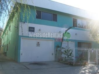
636 N St Andrews Pl
636 N St Andrews Pl,
Los Angeles,
CA
90004
2 Weeks Ago
Favorites
636 N St Andrews Pl

Favorites
Check Back Soon for Upcoming Availability
About 636 N St Andrews Pl Los Angeles, CA 90004
Renovated Apartment For Rent Lower Corner units in 8-unit building. 1-car Parking Included. New Tile and Wood Flooring throughout. New appliances and lots of extra storage space.
636 N St Andrews Pl is an apartment community located in Los Angeles County and the 90004 ZIP Code.
Apartment Features
- Microwave
- Refrigerator
- Laundry Facilities
- Patio
Location
Get Directions
Although smaller than its better-known neighbor to the west, East Hollywood is a centrally located neighborhood in Los Angeles. East Hollywood is accessible to various freeways and many other popular neighborhoods, so commuters are set. This neighborhood boasts lower rent costs than its neighbors, a diverse community, and unique restaurants. Los Angeles City College, Barnsdall Art Park, and three large hospitals are all located in the East Hollywood area. This community sits just two miles from Downtown Los Angeles, making it popular for those interested in staying close to the city. With a dense population and a hip vibe, East Hollywood is the place to be.
Learn more about living in East Hollywood
Amenities
- Microwave
- Refrigerator
- Laundry Facilities
- Patio
Education
| Colleges & Universities | Distance | ||
|---|---|---|---|
| Colleges & Universities | Distance | ||
| Drive: | 3 min | 1.4 mi | |
| Drive: | 4 min | 2.1 mi | |
| Drive: | 5 min | 2.7 mi | |
| Drive: | 6 min | 2.8 mi |
636 N St Andrews Pl is within 3 minutes or 1.4 miles from City College. It is also near Los Angeles Film School and Southwestern Law School.
Transportation options available in Los Angeles include Hollywood/Western Station, located 1.4 miles from 636 N St Andrews Pl. 636 N St Andrews Pl is near Bob Hope, located 10.6 miles or 18 minutes away, and Los Angeles International, located 13.3 miles or 25 minutes away.
| Transit / Subway | Distance | ||
|---|---|---|---|
| Transit / Subway | Distance | ||
|
|
Drive: | 2 min | 1.4 mi |
|
|
Drive: | 3 min | 1.5 mi |
|
|
Drive: | 3 min | 1.6 mi |
|
|
Drive: | 3 min | 1.8 mi |
|
|
Drive: | 4 min | 2.2 mi |
| Commuter Rail | Distance | ||
|---|---|---|---|
| Commuter Rail | Distance | ||
|
|
Drive: | 9 min | 5.0 mi |
|
|
Drive: | 11 min | 5.2 mi |
|
|
Drive: | 10 min | 5.7 mi |
|
|
Drive: | 15 min | 9.4 mi |
|
|
Drive: | 17 min | 9.5 mi |
| Airports | Distance | ||
|---|---|---|---|
| Airports | Distance | ||
|
Bob Hope
|
Drive: | 18 min | 10.6 mi |
|
Los Angeles International
|
Drive: | 25 min | 13.3 mi |
Time and distance from 636 N St Andrews Pl.
| Shopping Centers | Distance | ||
|---|---|---|---|
| Shopping Centers | Distance | ||
| Walk: | 5 min | 0.3 mi | |
| Walk: | 8 min | 0.4 mi | |
| Walk: | 9 min | 0.5 mi |
636 N St Andrews Pl has 3 shopping centers within 0.5 mile, which is about a 9-minute walk. The miles and minutes will be for the farthest away property.
| Parks and Recreation | Distance | ||
|---|---|---|---|
| Parks and Recreation | Distance | ||
|
MacArthur Park Lake
|
Drive: | 7 min | 3.3 mi |
|
Bird Sanctuary
|
Drive: | 8 min | 3.6 mi |
|
Runyon Canyon
|
Drive: | 8 min | 3.6 mi |
|
La Brea Tar Pits
|
Drive: | 7 min | 4.1 mi |
|
Griffith Observatory
|
Drive: | 11 min | 4.8 mi |
636 N St Andrews Pl has 5 parks within 4.8 miles, including Griffith Observatory, MacArthur Park Lake, and Bird Sanctuary.
| Hospitals | Distance | ||
|---|---|---|---|
| Hospitals | Distance | ||
| Drive: | 4 min | 2.0 mi | |
| Drive: | 3 min | 2.0 mi | |
| Drive: | 4 min | 2.0 mi |
636 N St Andrews Pl has 3 hospitals within 2.0 miles, the nearest is Southern California Hospital at Hollywood which is 2.0 miles away and a 4 minute drive.
| Military Bases | Distance | ||
|---|---|---|---|
| Military Bases | Distance | ||
| Drive: | 25 min | 14.9 mi |
636 N St Andrews Pl is 14.9 miles and a 25 minute drive from Los Angeles Air Force Base.
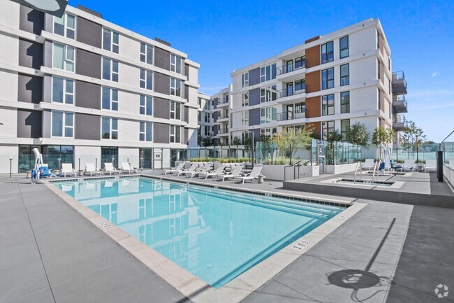
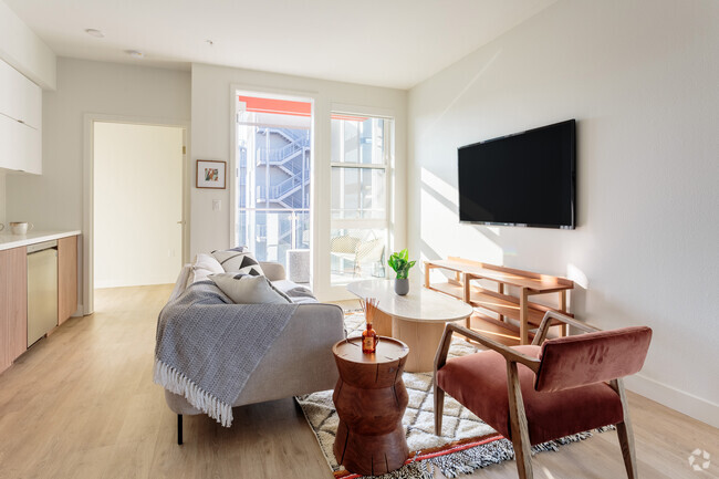
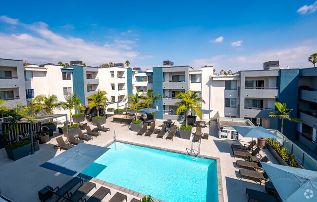
You May Also Like
Similar Rentals Nearby


What Are Walk Score®, Transit Score®, and Bike Score® Ratings?
Walk Score® measures the walkability of any address. Transit Score® measures access to public transit. Bike Score® measures the bikeability of any address.
What is a Sound Score Rating?
A Sound Score Rating aggregates noise caused by vehicle traffic, airplane traffic and local sources