


$1,700 - $2,095
Total Monthly Price
12 Month Lease
63 Burbank St
Boston, MA 02115
2 Weeks Ago
|
Edit
Favorites
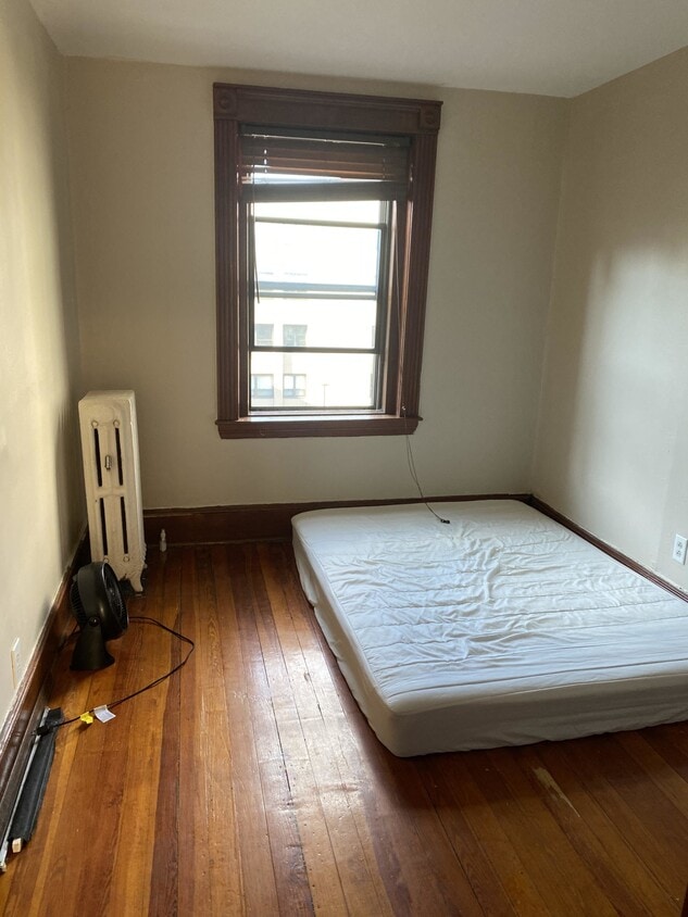
63 Burbank St

Favorites
Check Back Soon for Upcoming Availability
| Beds | Baths | Average SF |
|---|---|---|
| 1 Bedroom 1 Bedroom 1 Br | 1 Bath 1 Bath 1 Ba | 430 SF |
| 2 Bedrooms 2 Bedrooms 2 Br | 1 Bath 1 Bath 1 Ba | 500 SF |
Fees and Policies
Details
Lease Options
-
12 Months
Property Information
-
3 units
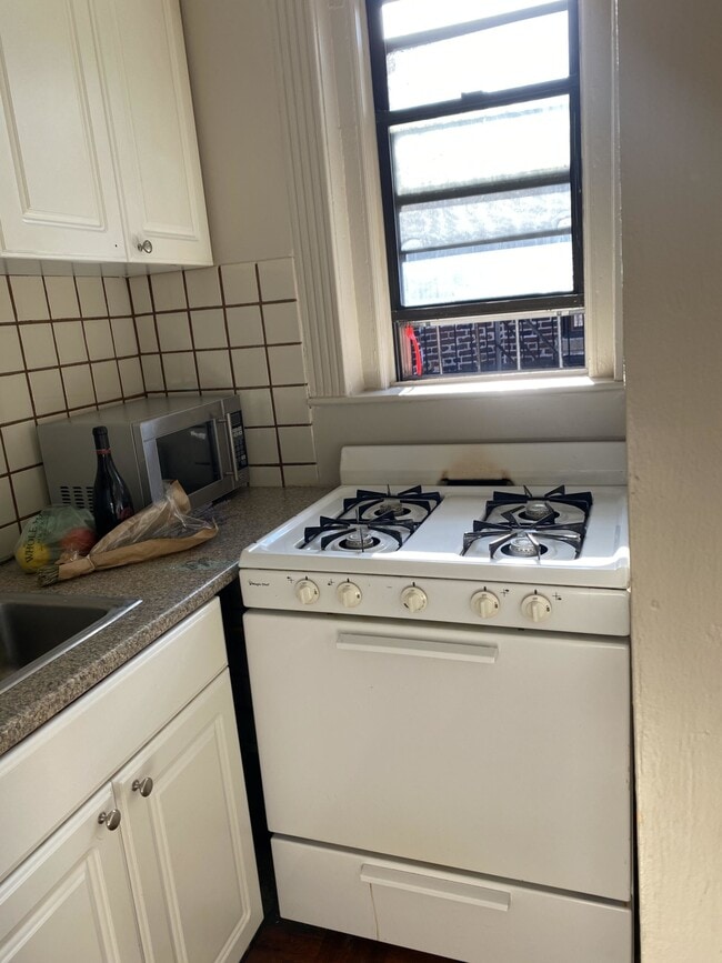
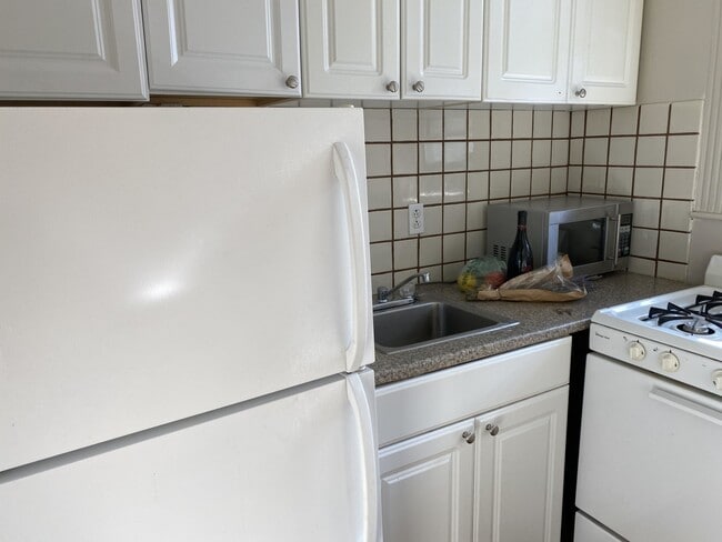
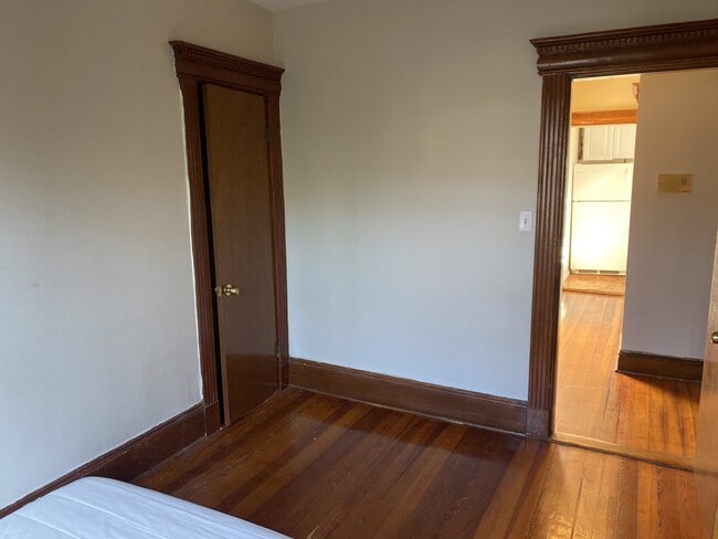
About 63 Burbank St Boston, MA 02115
Not what you're looking for? Marc Roos Realty has one of the largest databases in the city. Tell me what you're looking for, and I'll find you the perfect fit
63 Burbank St is a condo located in Suffolk County and the 02115 ZIP Code. This area is served by the Boston Public Schools attendance zone.
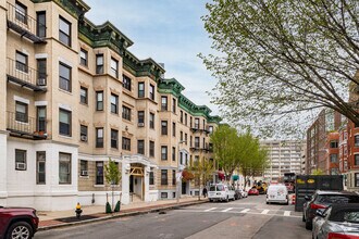
63 Burbank
21 Units
4 Stories
Built in 1999
50,000 Sq Ft
Discover 63 Burbank - a condo community offering many amenities, a great location, and a variety of available units tailored to your lifestyle. Explore your next home today!
Learn more about 63 Burbank
63 Burbank St,
Boston,
MA
02115
Tree-filled, historic, and packed with educational opportunity, there's no other neighborhood quite like Fenway. The neighborhood may be most well-known for its titular attraction, Fenway Park, home of the Boston Red Sox. However, the area is also renowned for its sprawling greenspace. The name "Fenway" refers to the neighborhood’s lush parkway and tree-filled paths that wind lazily through the area, forming part of Frederick Law Olmsted’s “Emerald Necklace Plan” (a chain of parks throughout Boston). The Fenway opened in 1876, and its route includes the Museum of Fine Arts and the Isabella Steward Gardner Museum.
Learn more about living in FenwayBelow are rent ranges for similar nearby apartments
| Beds | Average Size | Lowest | Typical | Premium |
|---|---|---|---|---|
| Studio Studio Studio | 1784-1786 Sq Ft | $1,800 | $2,522 | $6,935 |
| 1 Bed 1 Bed 1 Bed | 1895-1897 Sq Ft | $1,895 | $3,238 | $9,162 |
| 2 Beds 2 Beds 2 Beds | 2086-2090 Sq Ft | $2,495 | $4,005 | $16,000 |
| 3 Beds 3 Beds 3 Beds | 3006-3011 Sq Ft | $1,710 | $5,106 | $10,100 |
| 4 Beds 4 Beds 4 Beds | 3893 Sq Ft | $4,000 | $7,035 | $12,000 |
Education
| Colleges & Universities | Distance | ||
|---|---|---|---|
| Colleges & Universities | Distance | ||
| Walk: | 4 min | 0.2 mi | |
| Walk: | 11 min | 0.6 mi | |
| Walk: | 16 min | 0.8 mi | |
| Drive: | 4 min | 1.3 mi |
63 Burbank St is within 4 minutes or 0.2 mile from Berklee College of Music. It is also near Northeastern University and Wentworth Inst. of Technology.
Schools


Public Elementary & Middle School
Grades PK-8
Nearby
Public Middle & High School
Grades 6-12
Nearby
Public High School
Grades 9-12
Nearby
Private Elementary & Middle School
Grades K-8
Nearby
Private Elementary School
Grades PK-5
Nearby
Private Middle & High School
Grades 6-12
Nearby
School data provided by
 The GreatSchools Rating helps parents compare schools within a state based on a variety of school quality indicators and provides a helpful picture of how effectively each school serves all of its students. Ratings are on a scale of 1 (below average) to 10 (above average) and can include test scores, college readiness, academic progress, advanced courses, equity, discipline and attendance data. We also advise parents to visit schools, consider other information on school performance and programs, and consider family needs as part of the school selection process.
View GreatSchools Rating Methodology
Data provided by GreatSchools.org © 2026. All rights reserved.
View GreatSchools Rating Methodology
Data provided by GreatSchools.org © 2026. All rights reserved.
Transportation options available in Boston include Hynes Convention Center Station, located 0.3 mile from 63 Burbank St. 63 Burbank St is near General Edward Lawrence Logan International, located 6.3 miles or 14 minutes away.
| Transit / Subway | Distance | ||
|---|---|---|---|
| Transit / Subway | Distance | ||
|
|
Walk: | 5 min | 0.3 mi |
|
|
Walk: | 6 min | 0.3 mi |
|
|
Walk: | 9 min | 0.5 mi |
|
|
Walk: | 10 min | 0.5 mi |
|
|
Walk: | 10 min | 0.5 mi |
| Commuter Rail | Distance | ||
|---|---|---|---|
| Commuter Rail | Distance | ||
|
|
Drive: | 3 min | 1.2 mi |
|
|
Drive: | 6 min | 1.3 mi |
|
|
Drive: | 6 min | 2.1 mi |
| Drive: | 5 min | 2.1 mi | |
|
|
Drive: | 6 min | 3.5 mi |
| Airports | Distance | ||
|---|---|---|---|
| Airports | Distance | ||
|
General Edward Lawrence Logan International
|
Drive: | 14 min | 6.3 mi |
Walkability Near 63 Burbank St Boston, MA 02115
Getting Around
 What do Walkability, Transit, Drivability, and Bikeability mean?
Walkability measures the walking distance to day-to-day needs.
Transit measures access to public transportation.
Drivability measures congestion, parking availability, and access to major roads.
Bikeability measures the suitability for cycling.
How It Works
What do Walkability, Transit, Drivability, and Bikeability mean?
Walkability measures the walking distance to day-to-day needs.
Transit measures access to public transportation.
Drivability measures congestion, parking availability, and access to major roads.
Bikeability measures the suitability for cycling.
How It Works
Exceptionally Walkable
Walkability
100
/ 100
Exceptional Public Transit
Transit
90
/ 100
Fairly Drivable
Drivability
40
/ 100
Exceptionally Bikeable
Bikeability
90
/ 100
Scores provided by
Active
Soundscore™
68
/ 100
Traffic
BusyAirport
CalmBusinesses
BusyScores provided by
HowLoud What is a Sound Score Rating? A Sound Score Rating aggregates noise caused by vehicle traffic, airplane traffic and local sources. How It WorksTime and distance from 63 Burbank St.
| Shopping Centers | Distance | ||
|---|---|---|---|
| Shopping Centers | Distance | ||
| Drive: | 4 min | 1.5 mi | |
| Drive: | 7 min | 4.5 mi | |
| Drive: | 8 min | 4.7 mi |
63 Burbank St has 3 shopping centers within 4.7 miles, which is about a 8-minute drive. The miles and minutes will be for the farthest away property.
| Parks and Recreation | Distance | ||
|---|---|---|---|
| Parks and Recreation | Distance | ||
|
Charles River Reservation
|
Drive: | 2 min | 1.1 mi |
|
Coit Observatory
|
Drive: | 3 min | 1.5 mi |
|
Boston Public Garden
|
Drive: | 5 min | 1.6 mi |
|
Boston African American National Historic Site
|
Drive: | 6 min | 2.0 mi |
|
Roxbury Heritage State Park
|
Drive: | 6 min | 2.0 mi |
63 Burbank St has 5 parks within 2.0 miles, including Charles River Reservation, Boston Public Garden, and Coit Observatory.
| Hospitals | Distance | ||
|---|---|---|---|
| Hospitals | Distance | ||
| Drive: | 3 min | 1.3 mi | |
| Drive: | 4 min | 1.6 mi | |
| Drive: | 4 min | 1.6 mi |
63 Burbank St has 3 hospitals within 1.6 miles, the nearest is Beth Israel Deaconess Medical Center which is 1.3 miles away and a 3 minute drive.
| Military Bases | Distance | ||
|---|---|---|---|
| Military Bases | Distance | ||
| Drive: | 28 min | 15.4 mi | |
| Drive: | 29 min | 17.5 mi |
63 Burbank St is 15.4 miles from Hanscom Air Force Base, and is convenient to other military bases, including US Military Reservation.
You May Also Like
Similar Rentals Nearby


What Are Walk Score®, Transit Score®, and Bike Score® Ratings?
Walk Score® measures the walkability of any address. Transit Score® measures access to public transit. Bike Score® measures the bikeability of any address.
What is a Sound Score Rating?
A Sound Score Rating aggregates noise caused by vehicle traffic, airplane traffic and local sources.
63 Burbank St
Boston, MA 02115